
"Ophy I-V Idaho Gold Placers"
5x Unpatented Placer Mining Claims
5x Unpatented Placer Mining Claims
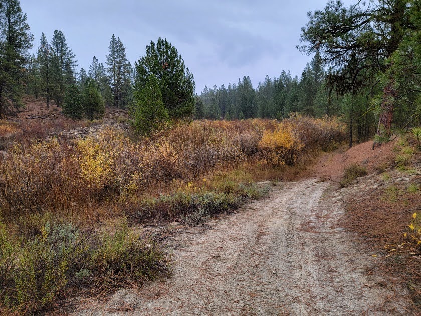
Right in the Heart of Idaho's Most Storied Gold Ground!
Ophir Creek runs quiet, like a lot of old mines these days. But of all the little drainages threading throughout the Boise Basin, this is one of the few that was lucky enough to be recorded by name - and for good reason! Sitting at the place just before Ophir Creek joins the Woof Creek, five unpatented placer mining claims, Ophy I through V, sit atop of some of the richest gold ground the United States has to offer! An area twice surveyed by government geologists Clyde P. Ross in 1934 and again by A.L. Anderson in 1946, the two cataloged their experience exploring the neighboring Gold Hill, Ophir Creek, and the mine upstream that altogether claimed almost $200 million in gold today!
Exploring upstream from the Ophy claims, Anderson was curious what made the ground around here in the Boise Basin so rich. The Boise Basin as a whole is known to be a tremendous gold producer - over three million ounces of gold were found around Idaho City between 1863 and 1959. In Quartzburg, just to the Northwest of the Ophy claims, Gold Hill had produced up to $8,000,000 ($183,000,000 today!) in gold starting as early as 1864 and ending around 1929. You can read either Ross's entry about the mine HERE, on page 253, or Anderson's entry about the mine HERE, on page 282.
Placerville, two miles down the road, was one of the first camps to boom around all this gold and one of the fastest. The townsite was laid out on December 1, 1862. Six months later it had 300 buildings and five thousand souls. Today, only forty-eight people live there at 4,308 feet. Despite the wealth the mines generated back in the 1930s and plenty of gold to get, two devastating forest fires in 1929 and 1931 closed many of the mines and chased a lot of people away. Now, the lands around Ophir Creek run a little quieter than it used to...
Why the Gold Is Here: Idaho Batholith Gold Country
The whole of the Boise Basin rests on an enormous body of granite called the Idaho Batholith — a mass that underlies most of Boise National Forest. But granite alone doesn't make gold mines.
Long after that granite had cooled, molten rock forced its way up through it along a band of weakness running through Quartzburg, cracking the granite open as it went and opening a path for hot, mineral-loaded fluids. Those fluids filled the cracks, which became the veins miners viciously fought for. Taking a look at Gold Hill, the northwestern neighbor to the Ophy claims, gives a great look at how all the mines sitting in this "porphyry belt", like Gold Hill, Mineral Hill, and the Ophy claims, appear under the surface.
Around Gold Hill, the gold was native and easy to see. It came in the form of rhyolite porphyry on the surface and quartz monzonite at depth, two big parts of the porphyry belt, and often showed up with rusty, oxidized sulfides and plenty of pyrite. Despite being fool's gold, a sample taken of the pyrite and examined in a laboratory in 1934 revealed that the gold was well mixed with the pyrite. Testing at 0.205oz. of gold and 4.33oz. silver to the ton - a 1-21 gold-to-silver ratio out of the pyrite alone. A simple mercury leech of the ore resulted in a 95% gold capture. Bismuth and lead were common finds as well.
Gold Hill was able to chase their wealth through the main veins of rhyolite porphyry to the depth of 500-700ft, before the rock switched to inferior veins of quartz monzonite. Their operation came to a halt at a depth of 1,100ft with their Pioneer shaft, and efforts were abandoned in 1931 following two devastating forest fires. The Mineral Hill mine, upstream of the Ophy claims, which A.L. Anderson goes into detail with in his report, mentions their gold was found in much richer quartz monzonite veins, which tested higher at 0.7oz/ton of gold. Putting in a hearty effort before the fire chased them out - having some tunnels that ran as long as 400ft - they only got to a depth of 120ft chasing the main vein before they were chased out by the fire and the flames of 1931.
Sitting in the same "porphyry belt", the Ophir Creek and the Ophy claims sit atop of the same rich ground as Gold Hill and Mineral Hill! The outcrop Anderson maps above the Mineral mine on upper Ophir Creek is part of the very structure that made the district — and he places more of the same rock between Ophir and Muddy Creeks, about three miles northeast of Placerville. Neighboring unpatented mining claim owners just due North of the Ophy claims report that they've already tested and found gold and silver!
The Ground: Five Claims, Three Targets
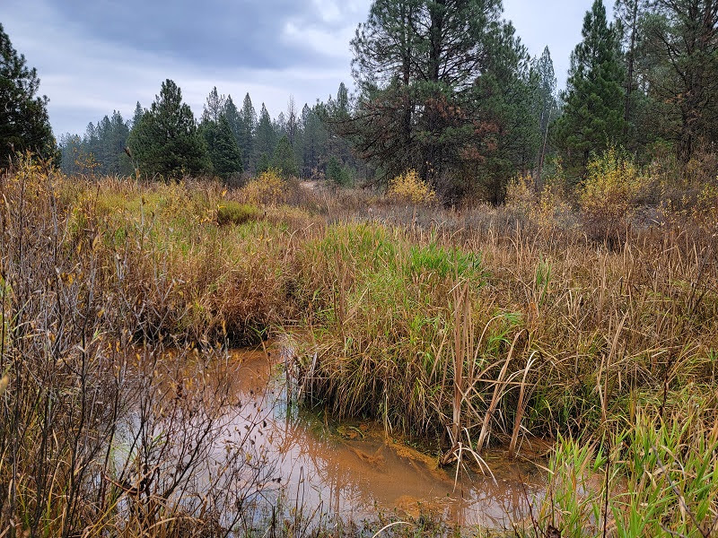
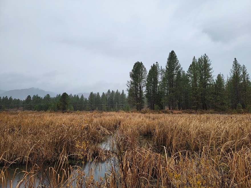
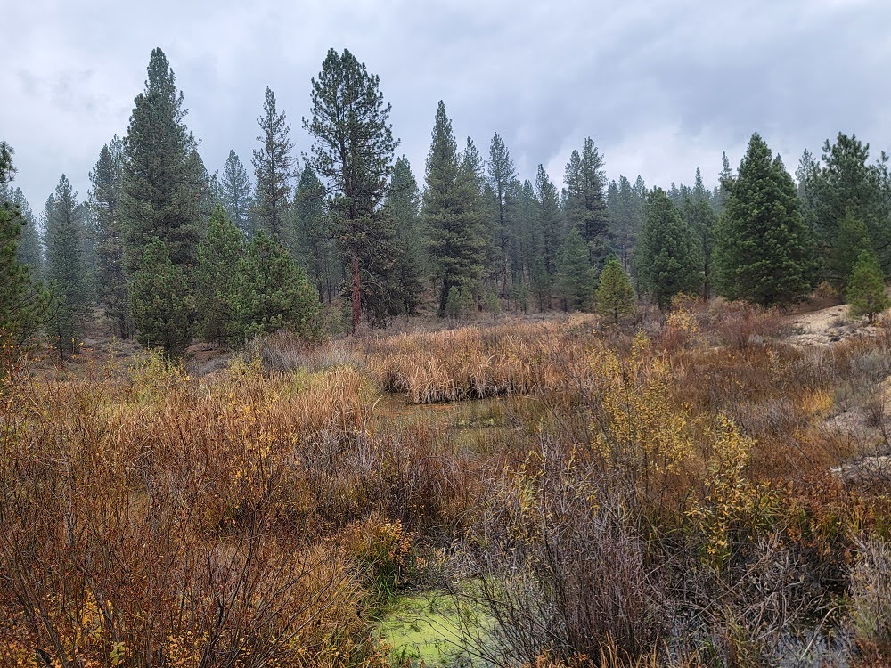
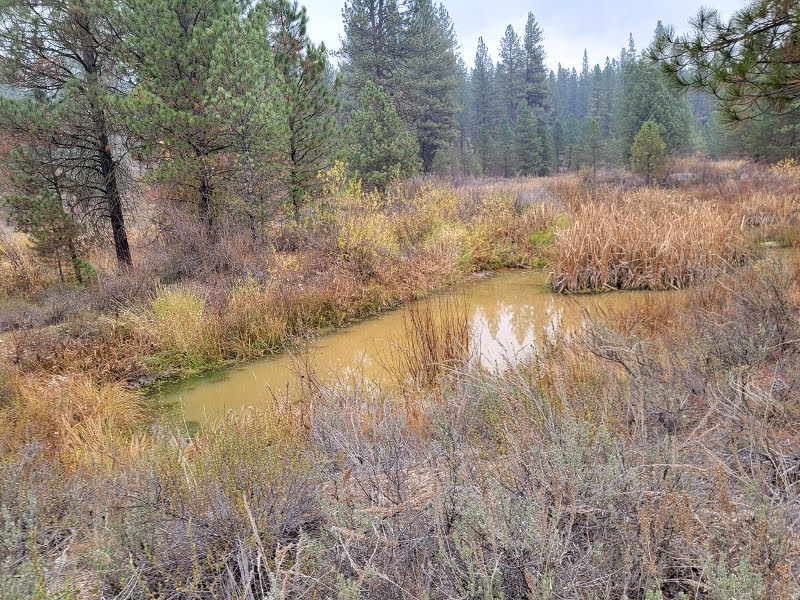
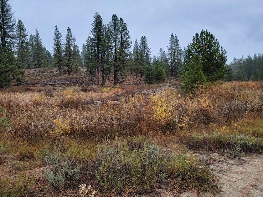
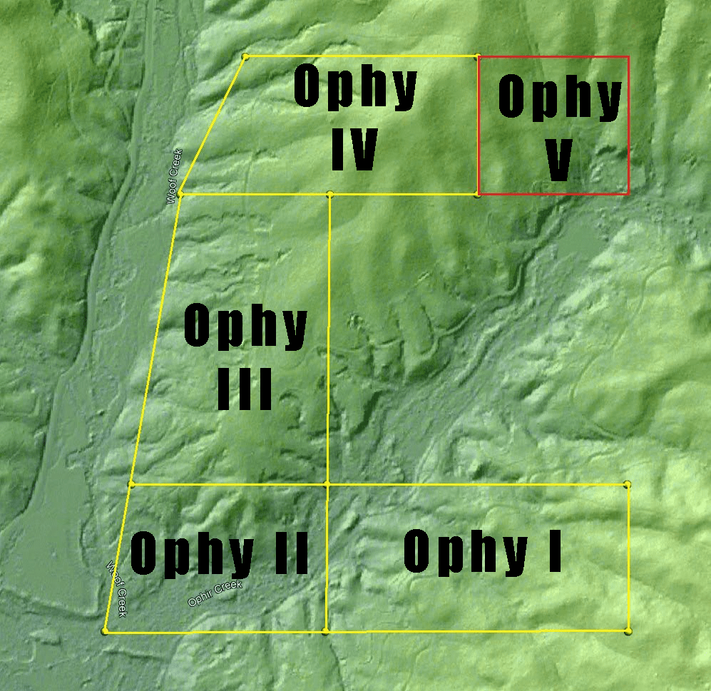
The Ophy claims consist of five separate claims, all varying in size and to what they capture. Some are placed on the creek, while others hunting for the lode veins on the mount. Five claims to tackle three targets: the active creek's channel and gravels, the older high walls surrounding the creek, and any outcroppings of that rich rhyolite porphyry or quartz monzonite.
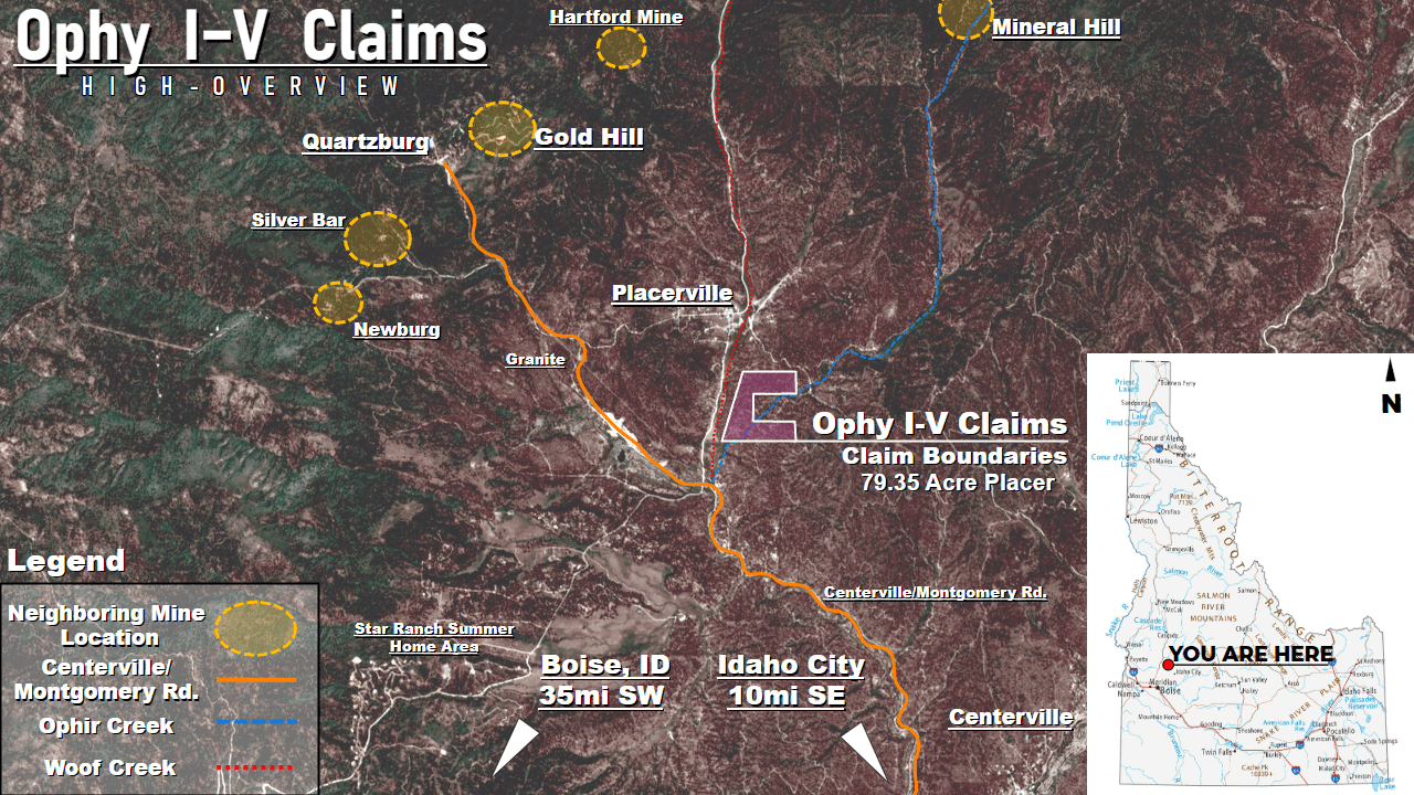
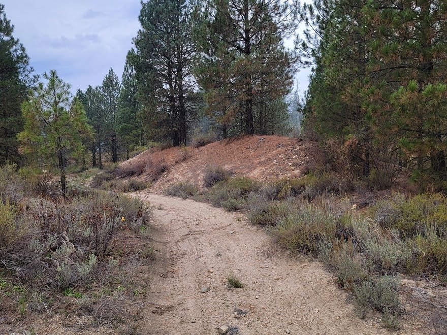
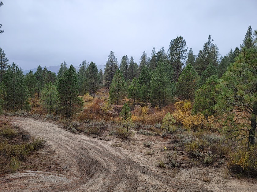
Ease of access to the claims is indeed easy! Right next to Placerville, most of the roads are partially paved or are well-maintained dirt roads to these old grounds. Idaho City and a full set of services are about fourteen miles out; Boise is about fifty-two.
Some Features of the "Ophy Claims" at a Glance:
-
Historical Ground — Located smack-dab in the middle of the Boise Basin, boasting a harvest of 3 million ounces of gold, these claims are located on rich ground! Wedged between two established past-producers, Gold Hill and Mineral Hill, and placed right on top of the very same "porphyry belt" government geologists swear made the two mine owners rich, the chances of finding some of your own gold right here is high!
-
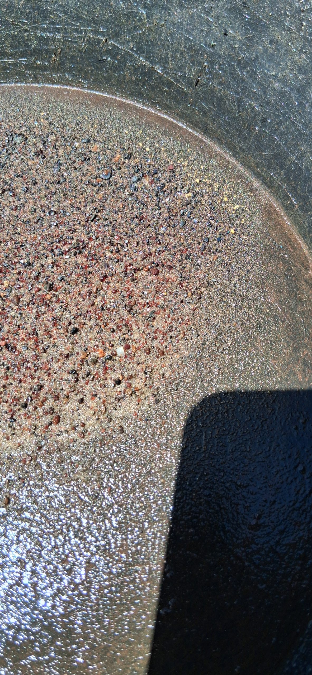
Placer and Lode, Tied-Up As One - Anderson noted that miners at Mineral Hill, just upstream of the Ophy claims, were able to pan the first two or three feet of the run-off from their veins and capture gold. Almost a century of weathering and water have pushed more of that vein gold downhill and down the creek - the creek channel and its high bench gravels are excellent placers to test and run while the Spring waters flow. When it dries, rock-hounding for the gold-bearing rhyolite porphyry and quartz monzonite begins!
-
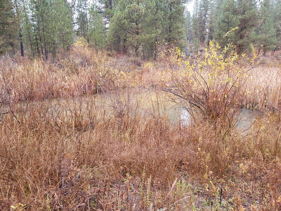
The Joining of Two Rivers - The Ophy Claims just barely manage to capture the junction between the Ophir Creek and the Woof Creek! With numerous producers upstream of the Woof Creek as well as the Ophir Creek, the possibility to find gold flowing down either river gives these claims an edge over its neighbors!
-
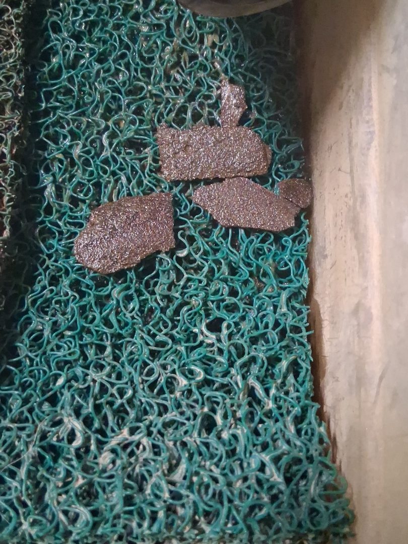
Mostly Untested Ground — Recently revived, prospected and partially assayed, these claims are known to hold gold, silver and copper. While the amounts haven't been independently verified by professional assayers, this prospect sits on known gold and silver ground! Northern neighbors in business hunting for gold also report success in the area.
-
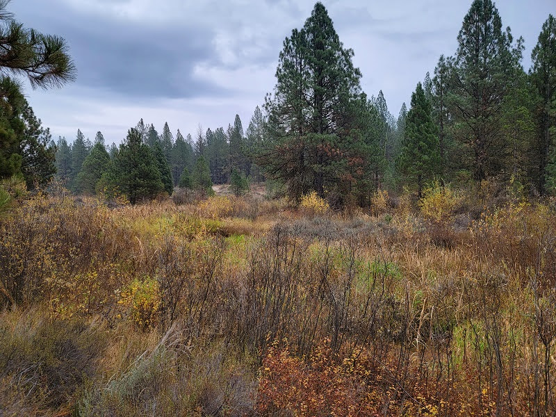
Camp-Friendly Access Near a Historic Town — Two miles from Placerville and just fourteen from Idaho City! Well within reach of friendly places with a hot meal, a warm bed, and a place to patch up the ol' Jeep, you're never far from help or home! If you can find some flat ground, you can easily camp on the claim site, or park an RV nearby and glamp until you find gold!
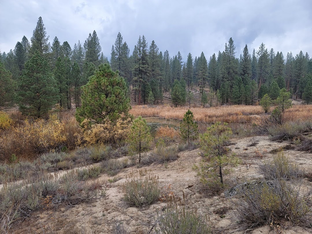
Ophy I-V 79.35 Acre Placer Claims: |
|
|---|---|
| Type of Claim | 5x Unpatented Placers |
| Size of Claim | 79.35 Acres |
| Commodities | Gold, Silver, Copper |
| Past Production | Yes. |
| State, County | Idaho, Boise |
| Accessibility | Partly Paved & Well-Maintained Dirt Roads |
| Deposit Type | Placer on Creek & Bench Gravels, Deposited Tailings |
| Cell Phone Reception | None. Satellite Phones Only |
| Relics | Possible Indian Relics Reported |
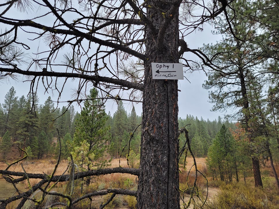
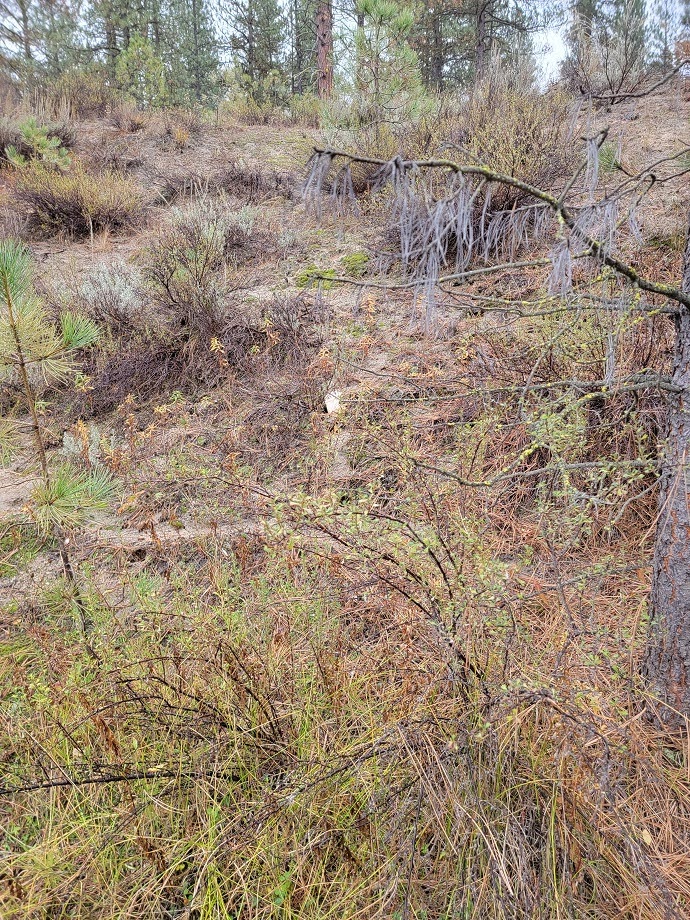
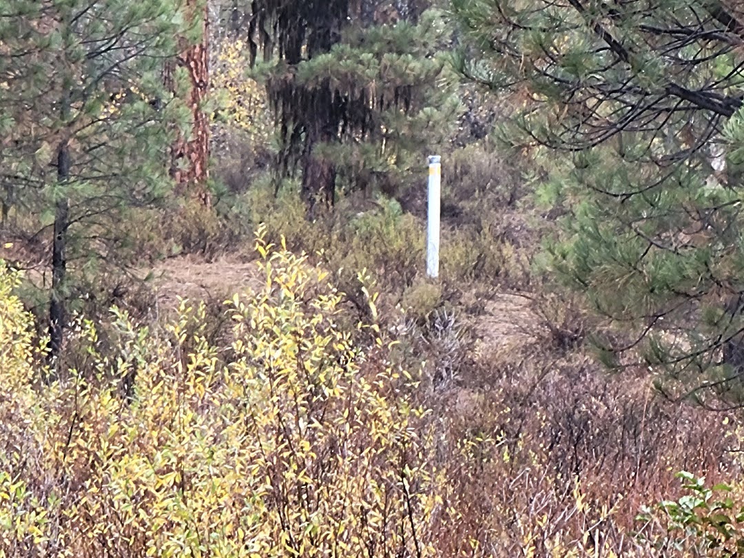
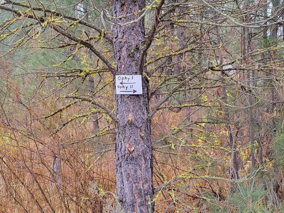
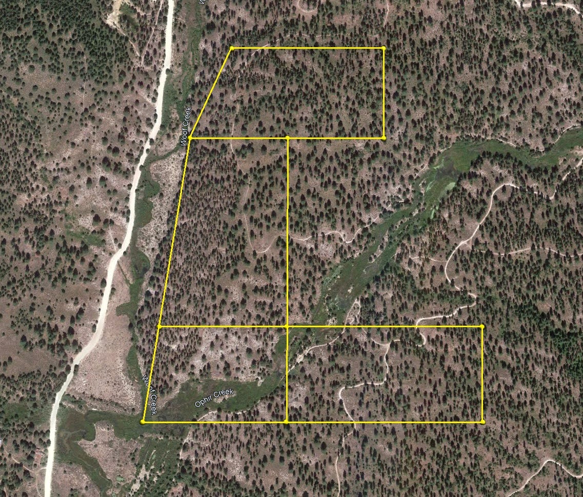
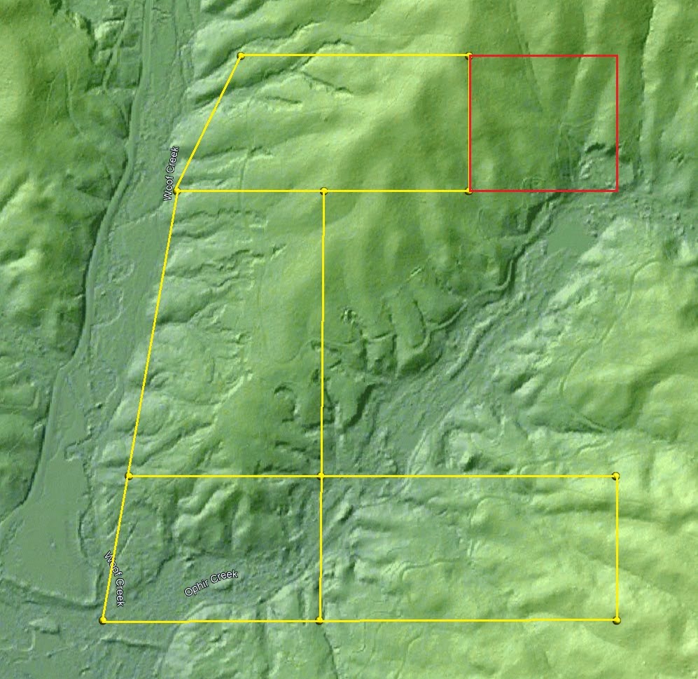
Discovery Monument & Claim Boundaries
Download Map Google Earth™ KMZ File
Discovery Marker GPS Coordinates (WGS84): 43.933416°, -115.942781°
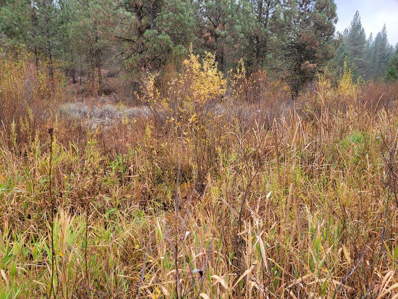
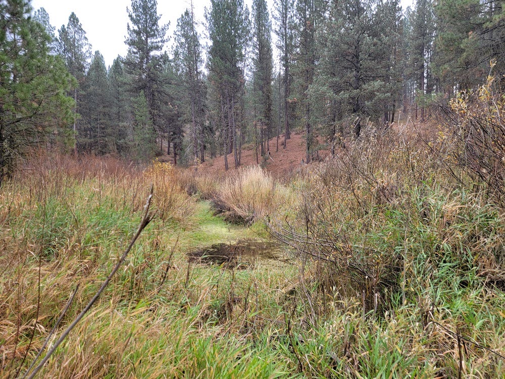
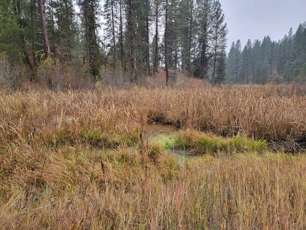
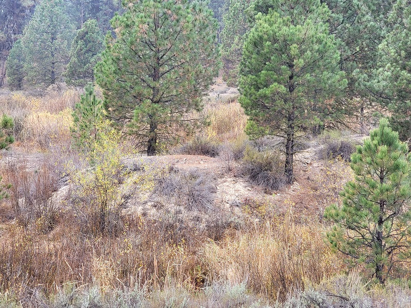
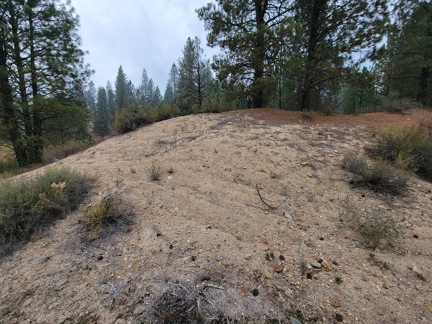
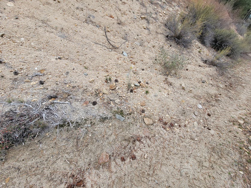
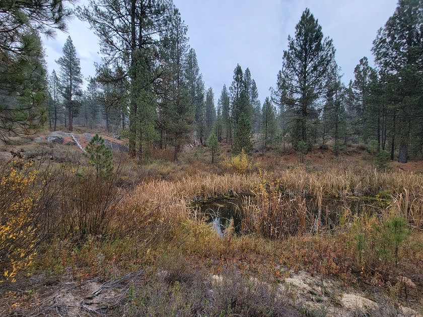
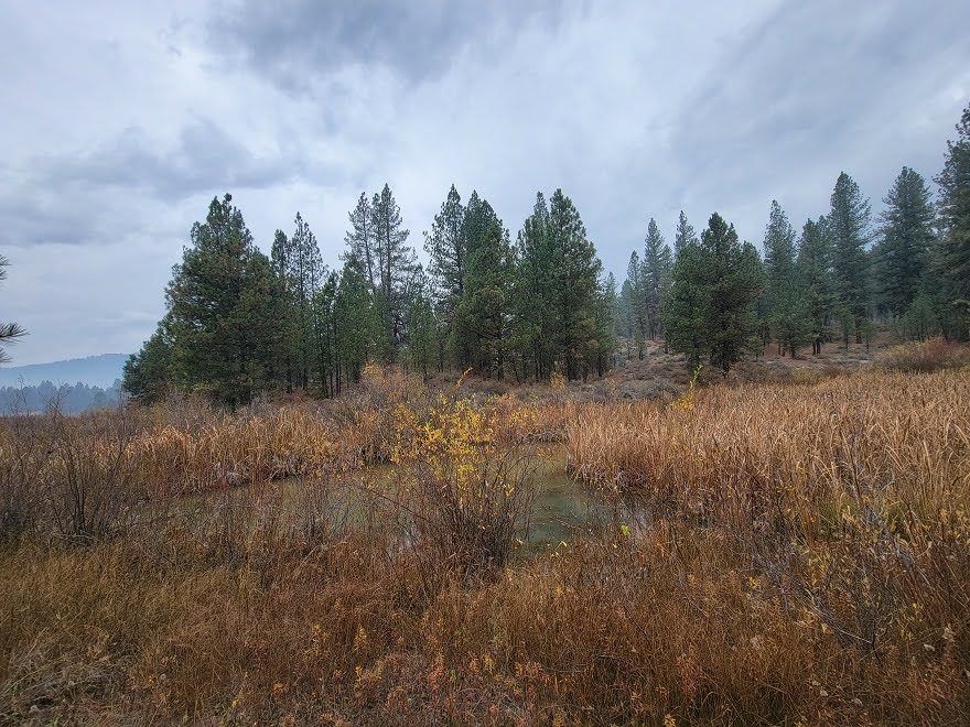
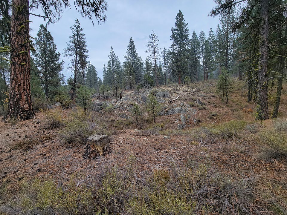
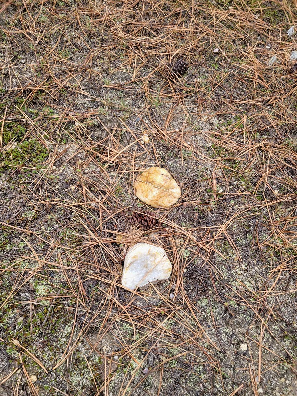
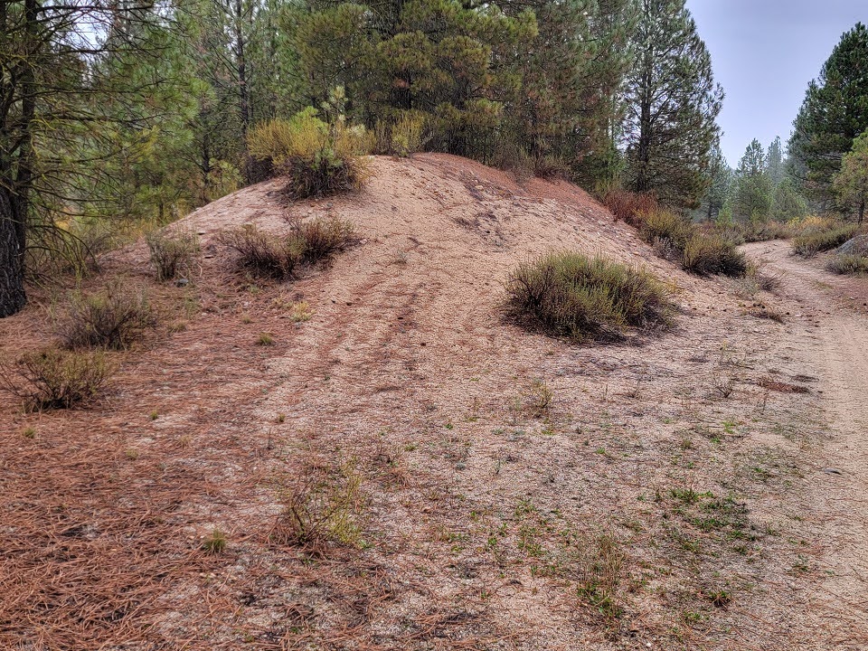
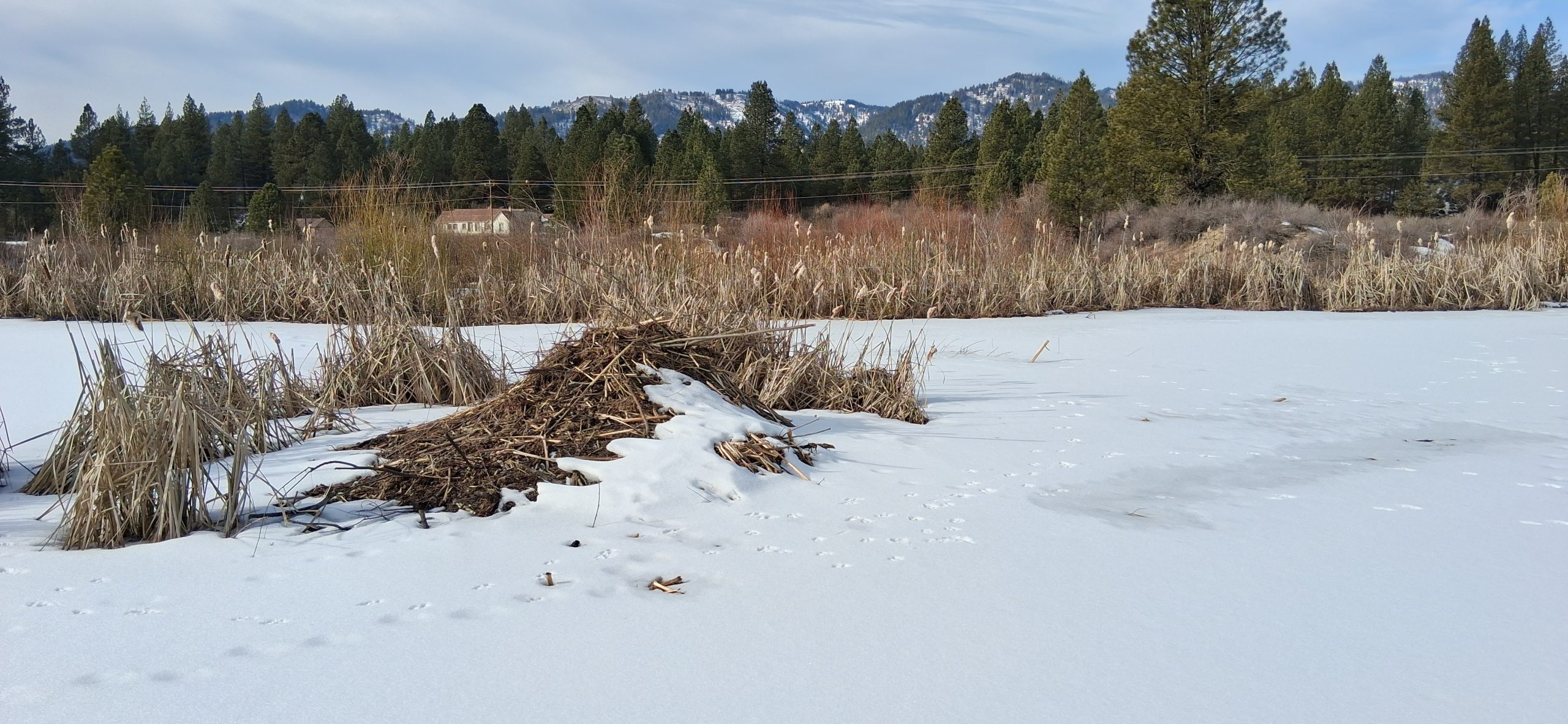
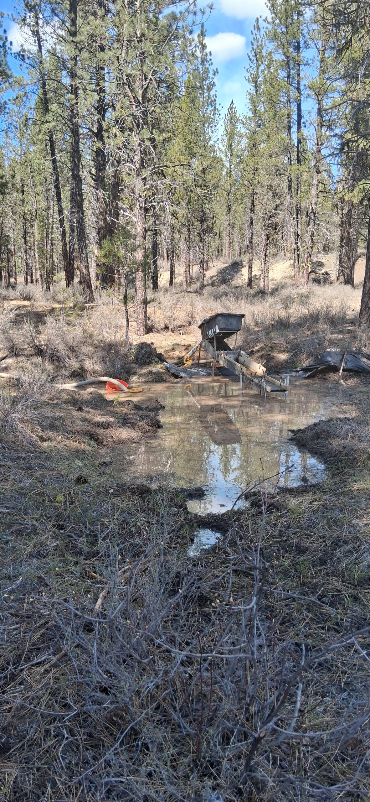
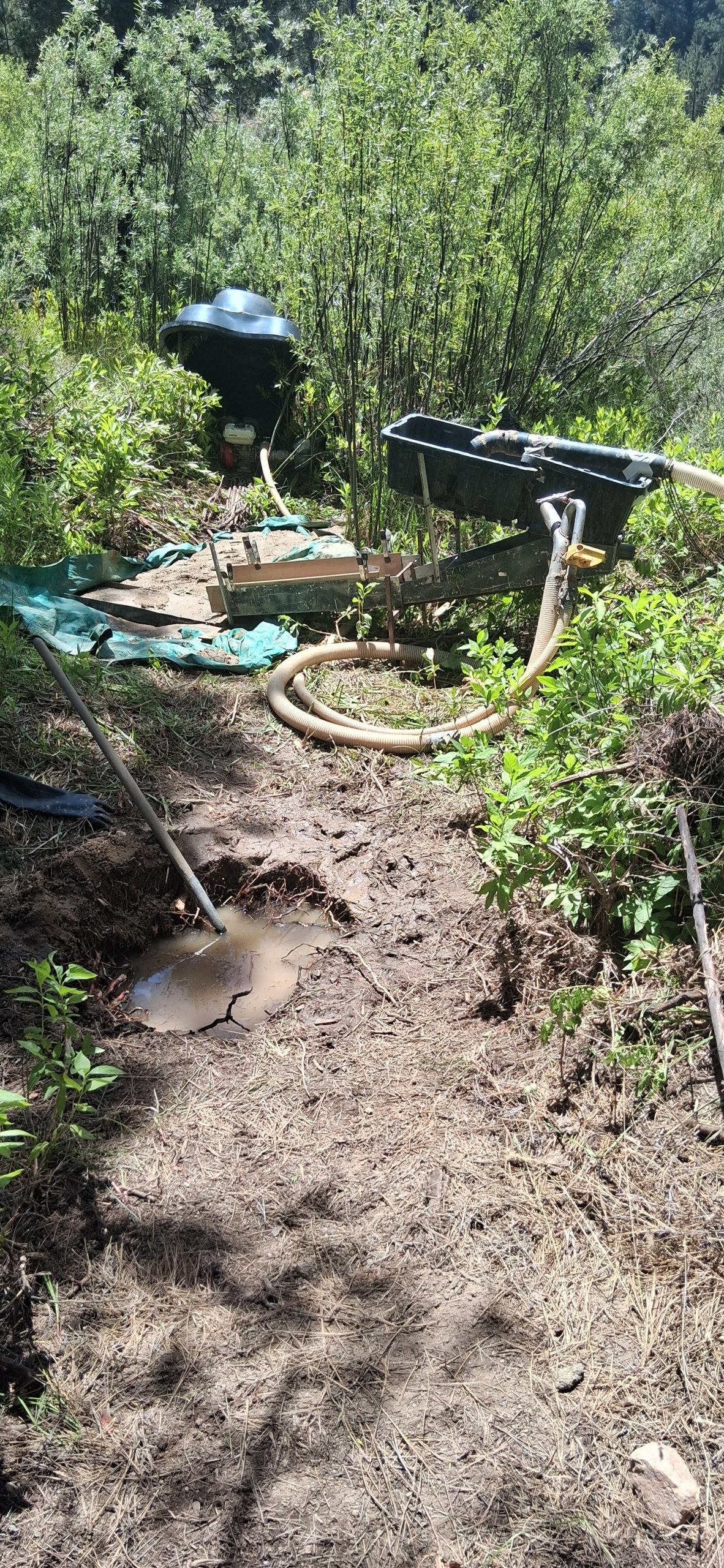
Want a bigger view? Right-click and open images in a new tab or window!

Economic Features
| Type of Claim | Unpatented Placer Claims |
| Size of Claim | 79.35 Acres |
| Commodities | Gold, Silver, Copper |
Ore Body Information |
|
| Width | N/A |
| Ore Body Type | Idaho Batholith Granite |
| Development | Sampled |
| District Name | Quartzburg District / Boise Basin |
Development Status |
|
| Operation Type | Surface Placer |
| Development Status | Inactive |
"Ophy I-V" Mineral Rights Transfer Process
A mining claim gives the holder the right to mine on mineral-rich land that belongs to the federal government. Mining claims are a tangible asset and show proof of all interests in minerals in the area. They can be bought, sold or used as collateral, just like any other piece of real estate.
A mining claim can be sold, traded, leased, gifted, willed, used as collateral or transferred in part or in its entirety just like any other real property using a quitclaim deed which is a recordable conveyance. Questions about the transfer process can be answered by contacting us anytime. All fees and paperwork current and assessment fees are paid through Sept. 1st 2026.
It's easy to maintain this claim after purchase:
If you have less than 10 claims, you are eligible to file a small miners exemption and the cost to maintain is only $10 per year per claim. Contact us anytime for help maintaining your claim. Full details on maintaining your claim can be found on the BLM's website here.
The filing and transfer service will be done on your behalf and completed within 48 hours after purchase. Buy this claim now with the Paypal™ link below.
Purchasing Ophy I-V
Now you can buy mineral rights online and we handle all the dirty work!
Contact us anytime to pay by cash or check.
Cash Price
Full mineral rights transfer in 7-10 days for "Ophy I-V"
Official certificates of location, claim location and digital parameter maps
Email based support for claim maintenance and questions
Owner-Financed...
Temporary conveyance of mineral rights
You get full access to mine the claim during the finance period
Email based support for claim maintenance and questions
- After your purchase is complete you will be requested to fill out our new claim owner form with your name/address or add any additional claimants you want on the claim.
- You'll get digital copies of your COL and Map of Location in to your claim(s) will be delivered via email via PDF format as well as Google Earth™ KMZ map file with your claims discovery, corners and points of interest.
- We handle all the filing and transfer services on your behalf. Expect to get official stamped/recorded copies of your paperwork mailed to you from the Boise County Recorders Office and the Idaho Bureau of Land Management officiating you as the new claimant within 10 days of purchase.

Sign Up To Be 1st To Know When
New Gold Mines Go on Sale!
New Gold Mines Go on Sale!