 Placer
The Eureka Comstock Placer
📍 Washoe County, Nevada
- Au
- Cu
- Ag
$5,000
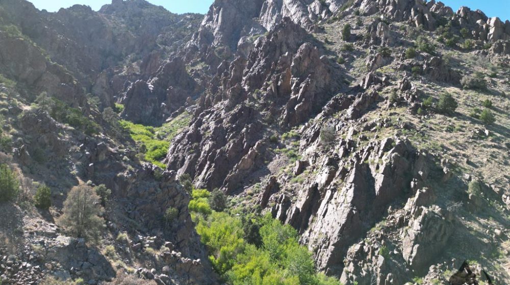
20 Acre Unpatented Placer Claim · Big Smoky Valley · Nye County, Nevada
$9,997
Cash price. Contact us to begin the mineral rights transfer.
Satellite view centered on the USGS-documented gold occurrence. The shaded outline is an illustrative ~20-acre area, not a surveyed boundary. Click the pin for a quick summary.
Location sourced from the USGS Mineral Resources Data System (MRDS Deposit ID 10118775, “Fremont’s View Prospect”). The shaded outline is an illustrative ~20-acre area centered on that coordinate and oriented along the canyon wash — not a certified corner survey. Contact us for a guided map and current boundary information.
A 20-Acre Placer in Nevada's Richest Gold Valley
The Belcher Canyon Claim is a 20-acre unpatented placer gold claim on the alluvial apron of Big Smoky Valley, at the foot of the Toiyabe Range in central Nye County, Nevada — inside one of the most productive gold basins in the American West. It sits within the same valley system that produced the historic placers of Round Mountain and Manhattan, and that today surrounds Kinross Gold's Round Mountain Mine, a modern operation credited with more than 10 million ounces of gold.
Water and gravity have done the prospector's work here for ages. The Toiyabe Range rises steeply to the west, and its canyons — Belcher Canyon among them — have spent geologic time grinding gold out of the high country and fanning it downslope into the coarse gravels of the valley floor. Across the valley to the east, the Toquima Range and the Round Mountain caldera shed their own famously coarse, angular gold into the same Quaternary alluvial deposits. The ground sits in classic dry-wash placer country, at an elevation broadly consistent with the celebrated Round Mountain placer diggings nearby.
The claim is high-desert open country — sagebrush flats, dry washes, and long views to the surrounding ranges — reachable via graded valley roads off State Route 376, the paved highway running the length of Big Smoky Valley. The washes crossing the ground are the natural gold collectors — the low-energy traps where heavy gold drops out and waits.
Big Smoky Valley is a classic Basin-and-Range trough flanked by the Toiyabe Range on the west and the Toquima Range on the east — both mineralized, gold-bearing mountain blocks. As those ranges erode, their gold is carried into the valley's Quaternary gravels, where it concentrates in washes, benches, and buried channels. The two placer districts nearest this claim are the benchmarks of the region:
According to USGS and Mineral Resources Data System (MRDS) records, Nye County produced on the order of 2.9 million ounces of gold between 1903 and 1959, with roughly 300,000 of those ounces from placer operations. USGS describes the Round Mountain placer gold as notably "coarse and angular," with about 145,000 ounces recovered during large-scale dredging in 1950–1952 and 1958–1959. The Manhattan district (Toquima Range) yielded roughly 206,000 ounces of placer gold plus 280,000 ounces of lode gold, with several of the largest gold nuggets ever found in Nevada coming out of that district.
Note: these are regional/district production totals for Nye County and the neighboring Round Mountain and Manhattan districts — they describe the mineral endowment of the surrounding basin, not a guarantee of production from this individual claim. Every placer is worth testing for yourself.
MRDS Record: “Fremont’s View Prospect” (Deposit ID 10118775)
The U.S. Geological Survey's Mineral Resources Data System (MRDS) carries a documented gold occurrence at this location — “Fremont's View Prospect,” a historic exploration trench originally reported by the U.S. Bureau of Mines. The record confirms gold as the primary commodity and ties the site directly into the same Toiyabe Range drainage system this claim sits within.
| Site Name | Fremont's View Prospect |
|---|---|
| Commodity | Gold (primary) |
| Point of Reference | Trench |
| Development Status | Prospect (surface operation) |
| Coordinates (WGS84) | 38.84433° N, 117.21762° W (±100m reported accuracy) |
| Elevation | 1,880 m (≈6,168 ft) |
| PLSS Location | Mount Diablo Meridian, T11N R42E, Section 1 (C W½), Nevada |
| USGS Quadrangle | Carvers, NV (1:24,000) |
| Administering Agency | U.S. Forest Service — Toiyabe National Forest |
| Reference | U.S. Bureau of Mines Open-File Report MLA 10-89 (1989), Fig. 2, p. 35. Reported by Johnson, 26-Sep-1991. |
Note: MRDS records document historic exploration and reported occurrences — they are not a certification of ore grade, tonnage, or current claim status. Contact us with any land-status questions before purchase.
| Type of Claim | Unpatented Placer |
|---|---|
| Size of Claim | 20 Acres |
| Commodities | Gold (placer) |
| State, County | Nevada, Nye |
| Valley / District | Big Smoky Valley, Belcher District |
| Deposit Type | Quaternary alluvial / bajada placer gold |
| Development Status | Undeveloped / unworked |
| Nearest Documented Occurrence | USGS MRDS #10118775, “Fremont's View Prospect” (Au) |
| Accessibility | Graded valley roads off paved State Route 376 |
The claim lies at the mouth of Belcher Canyon on the west side of Big Smoky Valley, Nye County, anchored to the USGS-documented gold trench described above (38.84433° N, 117.21762° W). It's reachable via graded valley roads off paved State Route 376, which runs the length of the valley and connects north to U.S. Highway 50 and south toward Tonopah. The nearest services are around Carvers / Round Mountain, roughly 20 miles south on SR-376.
Note: the map above uses the USGS MRDS-reported coordinate for this location (±100m accuracy, from a historic exploration trench) rather than a certified corner survey. The shaded outline is an illustrative ~20-acre area centered on that point, oriented along the canyon wash to capture as much of the drainage as possible — it is not a surveyed claim boundary. Contact us for the most current boundary information before visiting.
This is a dry placer in high-desert Nevada, so the classic streamside sluice isn't the tool of choice — the methods that shine here are the ones built for waterless ground. Everything below is weekend-prospector, hand-and-small-tool scale.
Test holes down to a caliche or clay "false bedrock" layer, panned out with a little hauled water, to find which washes and depths are worth working.
This region is known for coarse, angular gold — well suited to a VLF or pulse-induction nugget detector run over exposed benches and wash bottoms.
The primary production method in arid Nevada — a hand-crank or blower drywasher separates heavy gold from dry gravel using air instead of water.
Classify material through ½" and ¼" screens, then finish drywasher or detector concentrates with a pan, blue-bowl, or spiral panner.
A mining claim gives the holder the right to mine on mineral-rich land that belongs to the federal government. Mining claims are a tangible asset and show proof of all interests in the minerals in the area. They can be bought, sold, or used as collateral, just like any other piece of real estate.
A mining claim can be sold, traded, leased, gifted, willed, used as collateral, or transferred in part or in its entirety, just like any other real property, using a quitclaim deed, which is a recordable conveyance. Questions about the transfer process can be answered by contacting us anytime. All current fees and paperwork are paid and kept current through the coming assessment year.
It's easy to maintain this claim after purchase: if you hold fewer than 10 claims, you are eligible to file a Small Miner Waiver, and the cost to maintain is only about $10 per year per claim.
$9,997
Cash Price
Make a one-time payment and get new mineral rights transferred into your name.
Buy Online NowEmail us for more information and additional payment options, including owner-financing.
After your purchase is complete, you'll be asked to fill out our new claim owner form with your name and address. We handle all the filing and transfer services on your behalf, and you'll receive officially stamped, recorded copies of your paperwork from the Nye County Recorder's Office and the Nevada State Office of the Bureau of Land Management, officiating you as the new claimant.
Explore more BLM-verified mining claims across the American West.
Every claim currently for sale, sorted by price. Tap a name to open the full listing.
| Claim | Price | Commodity | County / State | Acreage |
|---|---|---|---|---|
| The Virginia Lynn | $1,000,000 | Silver, Gold, Copper +4 | Dolores County, Colorado | 87.64 |
| The Sedona Legend & Sunrise Claims | $71,980 | Gold | Yavapai County, Arizona | 80 |
| Mountain View Tungsten Project | $65,000 | Tungsten, Copper | Lyon County, Nevada | ~140 |
| Ophy I-V Claims | $41,250 | Gold, Silver, Copper | Boise County, Idaho | 79.35 |
| Sunny Side Up #1-2 | $21,500 | Gold, Silver | Southeast Fairbanks, Alaska | 80 |
| Boulder #2 & #3 | $15,000 | Gold, Silver | Boise County, Idaho | 41.32 |
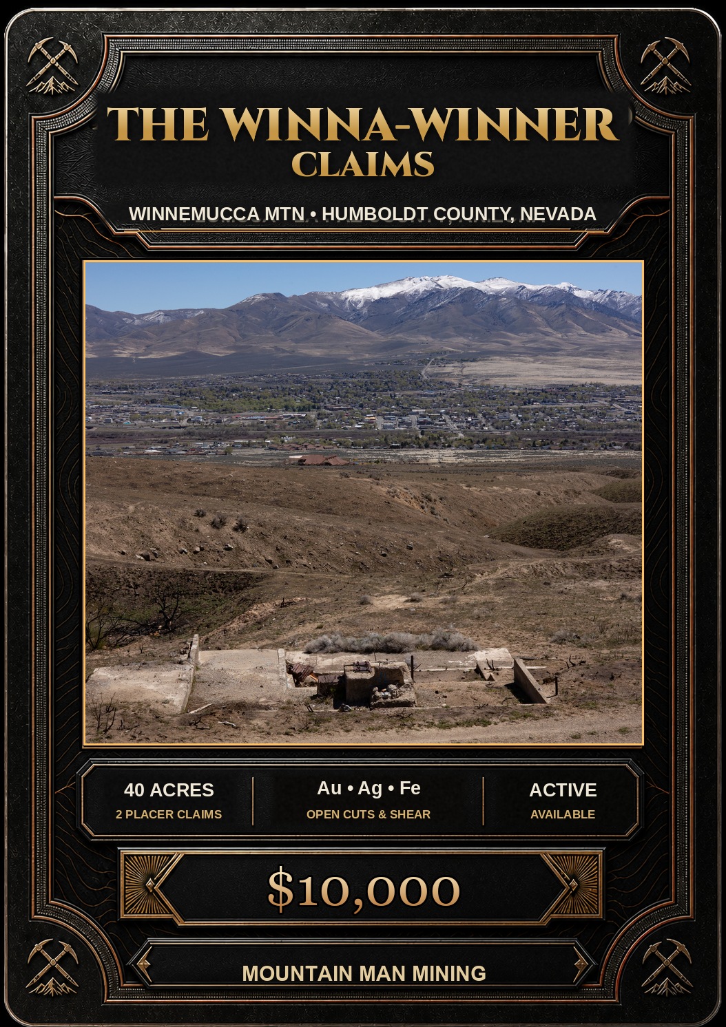
| The Winna-Winner Claims | $10,000 | Gold, Silver, Iron +2 | Humboldt County, Nevada | 40 |
| Belcher Canyon you’re here | $9,997 | Gold | Nye County, Nevada | 20 |
| The Golden Trinity Claim | $8,000 | Gold, Platinum, Silver | Trinity County, California | 20 |
| Marigold #1 | $7,500 | Gold, Silver | Yavapai County, Arizona | 20 |
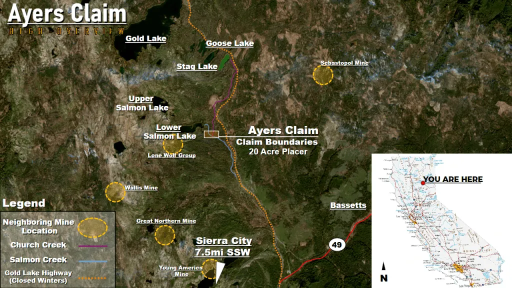
| Ayers Claim | $6,500 | Gold, Silver | Sierra County, California | 20 |
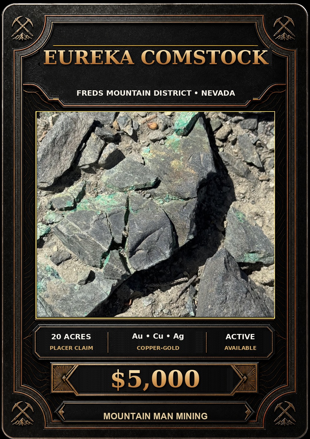
| The Eureka Comstock Placer | $5,000 | Gold, Copper, Silver | Washoe County, Nevada | 20 |
Prices and availability change as claims sell. Ask about any of these or see what has already sold.