 Placer
Ayers Claim
📍 Sierra County, California
- Au
- Ag
$8,000
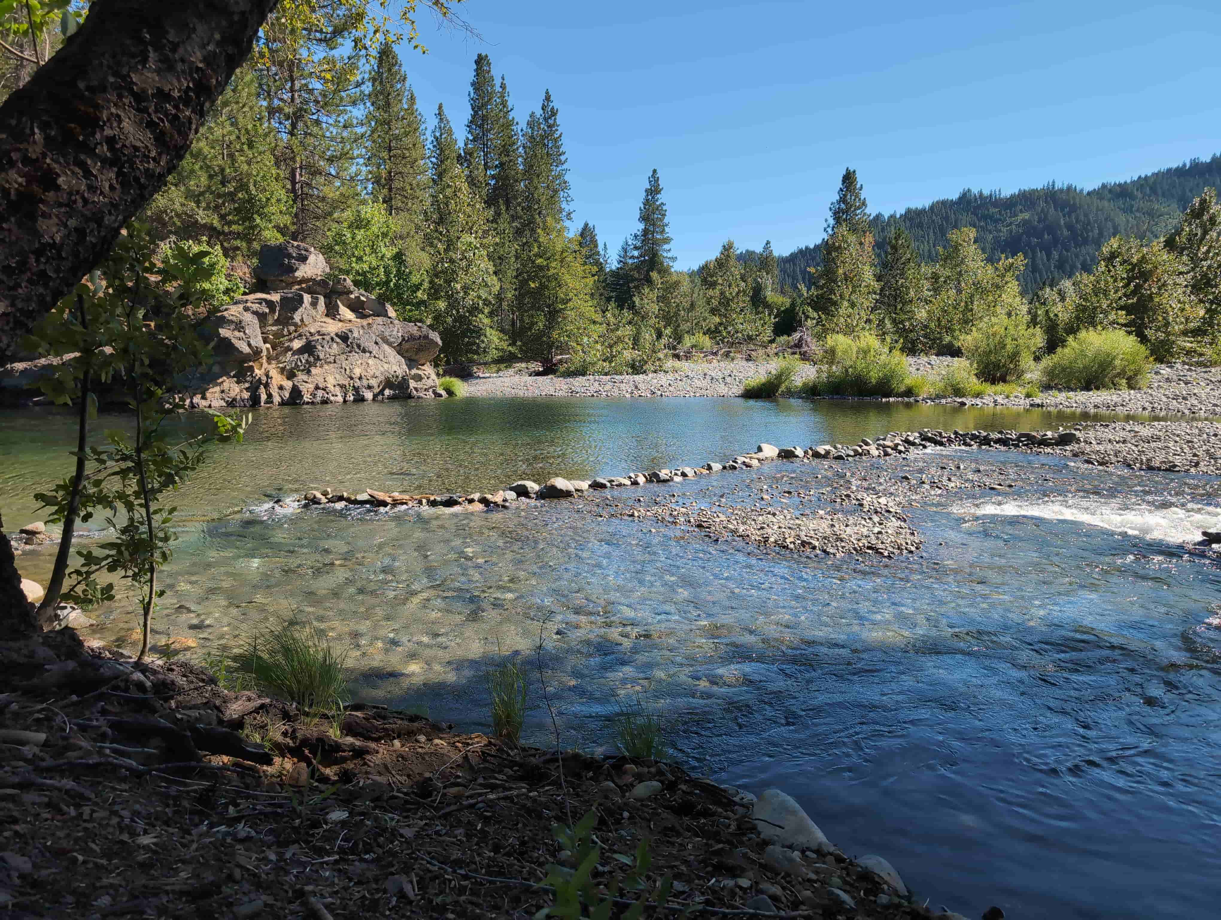
1 Placer Mining Claim · 20 Acres · Upper Trinity River at Coffee Creek · Trinity County, California
$8,000
All BLM & county filing fees included. Transfer handled start to finish.
20 Acres Where the Dredges Started — and the Gold Never Stopped Coming
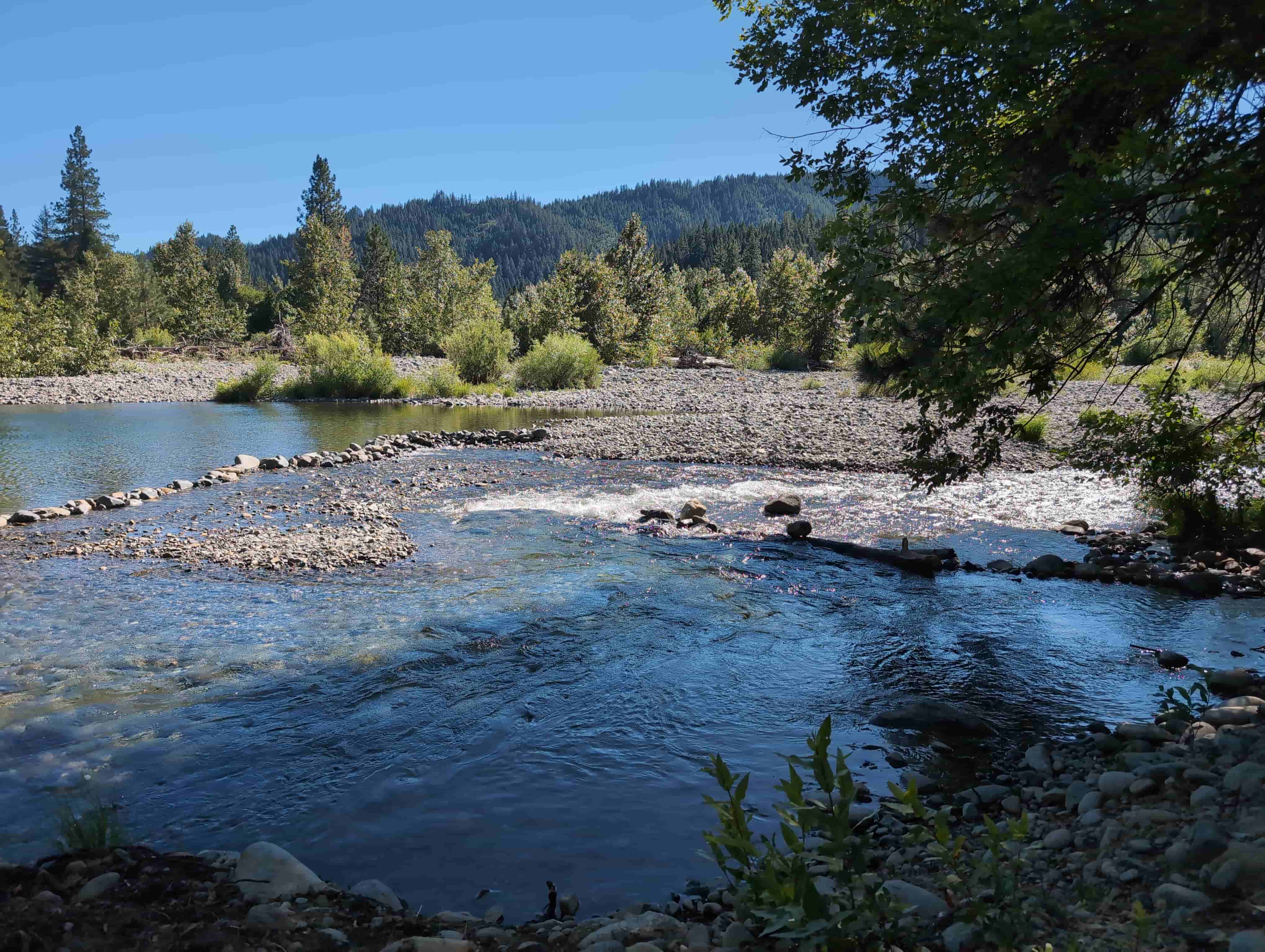
Every prospector in California knows the Trinity River and how many men got rich off the placer gold. However, when Trinity and Lewiston Dams went in, they drowned the land surrounding the Trinity Center dredge fields under a lake and cut off every ounce of sediment — and gold — for the men downstream at Lewiston, Douglas City and Junction City. Now, the golden Trinity's waters dump all the placer gold straight into the reservoir... But the Golden Trinity sits twenty-five miles upstream of all that! Sitting at the mouth of Coffee Creek where it meets the free-flowing upper Trinity River just above the lake, everything still runs the way it did in 1848. Every spring the snowmelt off the Trinity Alps pulls fresh gold out of the lode belt and drops it in these gravels, which get low enough come Summer to wade out in ankle-to-calf high water and start panning the middle of the river!
The ground isn’t guesswork. In 1916 the Pacific Gold Dredging Company, a Yukon Gold subsidiary, launched a new nine-cubic-foot all-steel bucket-line dredge at Coffee Creek — this confluence — big enough to make the Engineering and Mining Journal. The dredge worked the mouth of the creek before the company moved it south to the Graves Ranch at Stringtown; the gravels here proved too tight for a dredge that size to pay, which is a familiar story in coarse-gold country and the reason bedrock and bench ground gets left for hand miners. The old “North Lake” operations worked both sides of the Trinity from Trinity Center up into lower Coffee Creek from 1893 to 1922. The Carrville Dredge was the last dredge operating on this reach, running for a few years either side of World War II before it sat idle and finally shipped itself to Brazil in 1965. Just downstream the Estabrook, the largest wood-hull dredge ever built, moved more than 250,000 tons a month, and the Trinity Dredge pulled better than $2.7 million in gold out of ground that now lies under Lewiston Lake. The California Division of Mines put it plainly in Bulletin 193: at Carrville “the river was dredged until comparatively recently,” and Coffee Creek “was placer-mined for many years.” The dredges took the easy gold. They didn’t take the bedrock crevices, the inside bends, the bench gravels, or the gold that has washed in every year since - and that's where a smart, persistent prospector comes in handy!
Major Pierson B. Reading found gold on a Trinity River bar in July 1848, the same year as Sutter’s Mill, and Trinity County has been a gold county ever since. By 1854 some 2,500 Chinese miners were working its placers beside the American camps. The state estimates the Trinity River placers at $35,000,000 in gold in the dollars of the day — roughly 1.7 million ounces, worth over $6,000,000,000 at today’s gold prices!. Trinity County turned out 2,036,300 ounces of gold between 1880 and 1959, most of it placer, with roughly 1.75 million of those ounces from Trinity basin gravels. In the Coffee Creek district the Golden Jubilee ran 2,613 tons through cyanide for 580 ounces in 1936 alone, and the Yellow Rose was profitably reworking its own old tailings.
Coffee Creek drains straight out of the Trinity Alps across the lode belt. Clark records “several high-grade quartz mines near its headwaters,” including the Gold Dollar, where gold sits in granodiorite, serpentinite and aplite. Just south, the Carrville and Trinity Center lodes fed the river for a century: the Trinity Bonanza King produced $1,250,000 and the Headlight another $500,000 from gold-quartz veins in slate and greenstone next to the granite. The Carrville lodes alone were credited with about a million dollars by 1910. The East Fork, Stuart Fork and Swift Creek all carried gold into the upper river too. Every one of those sources still sits above the Golden Trinity, and the river still delivers.
This is the Klamath Mountains — a stack of ancient ocean-floor slabs shoved onto the continent and cooked by granite, one of the great gold provinces of the West. The upper Trinity cuts through the Trinity ophiolite (peridotite, gabbro and serpentinite — the source of the region’s chromite and platinum), the Copley Greenstone, the Bragdon Formation slates that host the big Brown Bear vein downstream, and the schists of the Central Metamorphic belt, all intruded by the Shasta Bally batholith about 136 million years ago. That granite is the heat engine that drove gold-bearing quartz into every fracture around it. The tributaries cross the lode belt directly, which is why the Trinity carries coarse gold — pickers and nuggets, not just flour. And here’s the bonus the old dredgemen knew: Trinity placers carry platinum and osmiridium with the gold. The state mineralogist listed platinum among the county’s resources back in 1913, and it still shows up in the pan.
State Route 3, the Trinity Heritage Scenic Byway, runs right past the confluence — paved highway to the claim. From Redding take 299 west to Weaverville and turn north on 3 for about 40 miles of some of the prettiest mountain road in California. The community of Coffee Creek is a mile away with a store and resorts; Trinity Center, five miles south, has a store, marina and campgrounds on the lake; Weaverville, the county seat, is about thirty-five miles south with everything a prospector needs. The Trinity Alps Wilderness starts up Coffee Creek Road. Flows here are natural and snowmelt-driven: high and cold through spring, then dropping to low, clear water from August into October when the bedrock comes out and the panning is best. Camp on the Forest, fish the river at dusk, and work gravels the dredges wanted first thing in the morning.
If you’re interested in purchasing this unpatented California placer claim for sale, please email me here.
| Type of Claim | Unpatented Placer — “Golden Trinity” |
|---|---|
| Size of Claim | 20 ACRES — ONE 20-ACRE PLACER CLAIM |
| Mining Commodities | Gold, Platinum-Group Metals, Silver |
| Accessibility | Paved State Route 3 at the claim; any vehicle |
| Closest Town | Coffee Creek (1 mi) · Trinity Center (5 mi) · Weaverville (35 mi) |
| Camping | Yes. National Forest dispersed camping, up to 14 days; developed campgrounds at Trinity Center |
| Prior Workings | Historic bucket-line dredge ground and Coffee Creek placers |
| Cell Phone Reception | Limited; service in Trinity Center and Weaverville |
| Type of Deposit | Placer — river gravels, bars and bedrock at a tributary confluence |
| Methods | Pan, sluice, highbank, metal detect (suction dredging under California moratorium) |
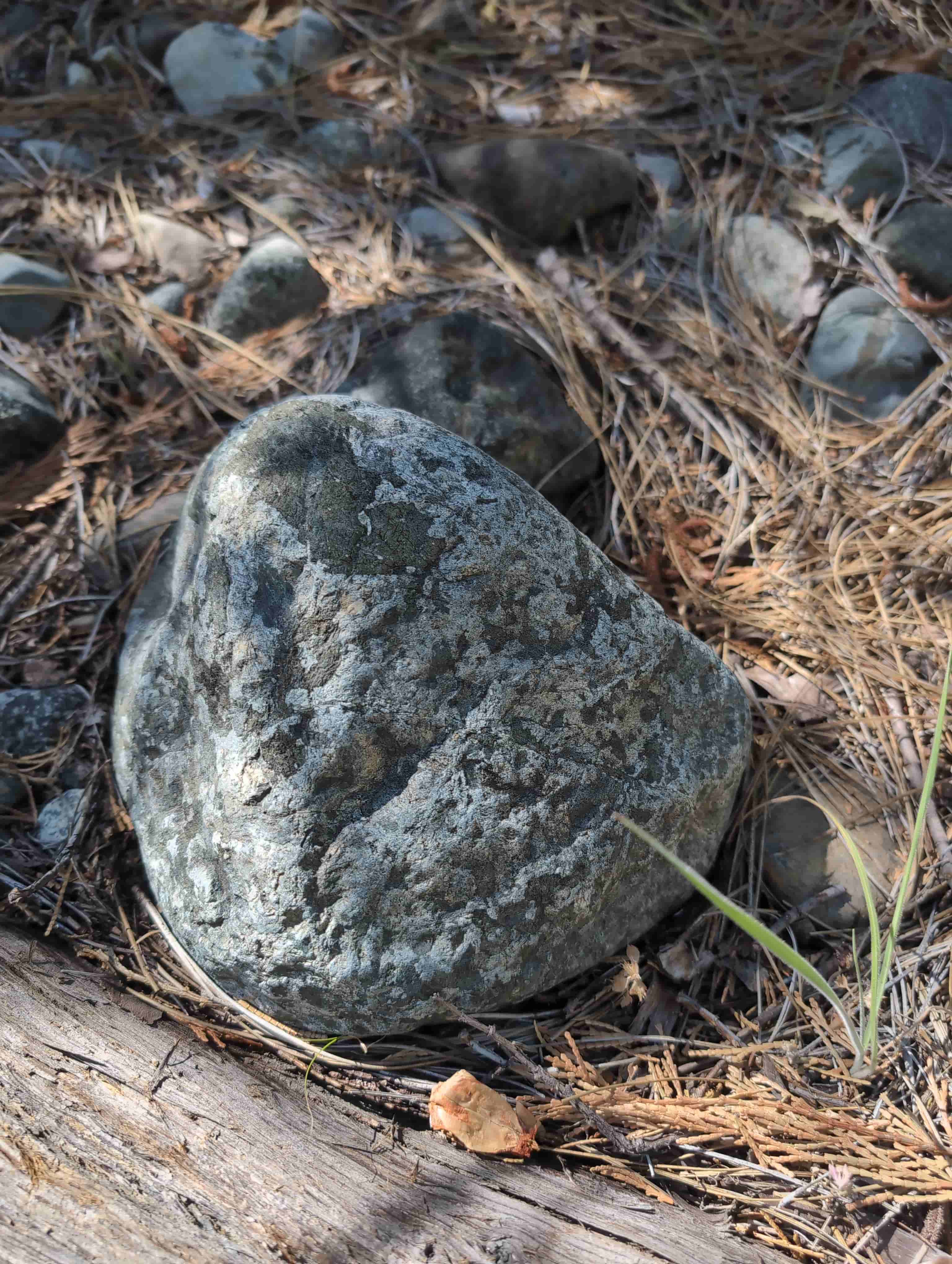
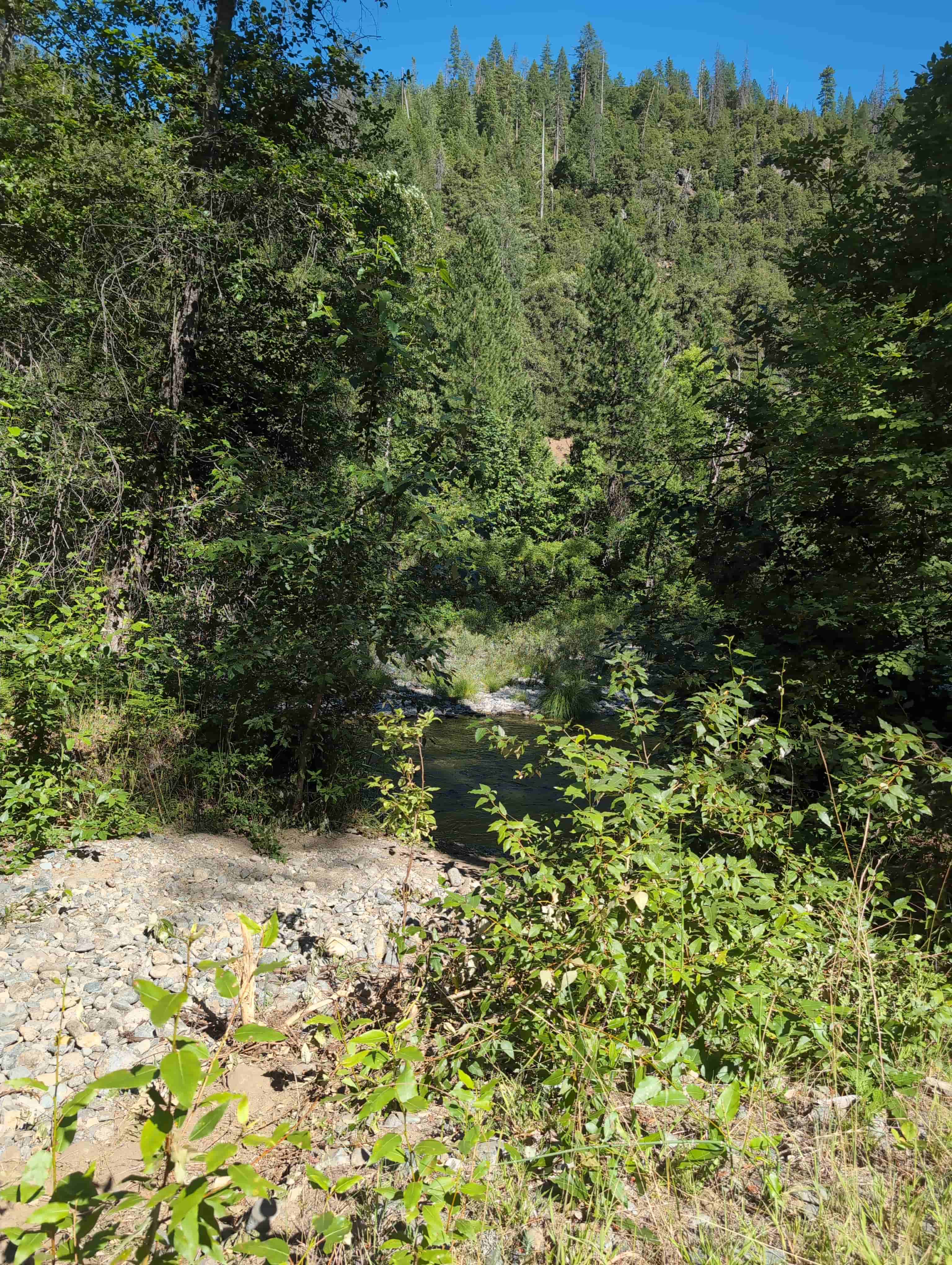
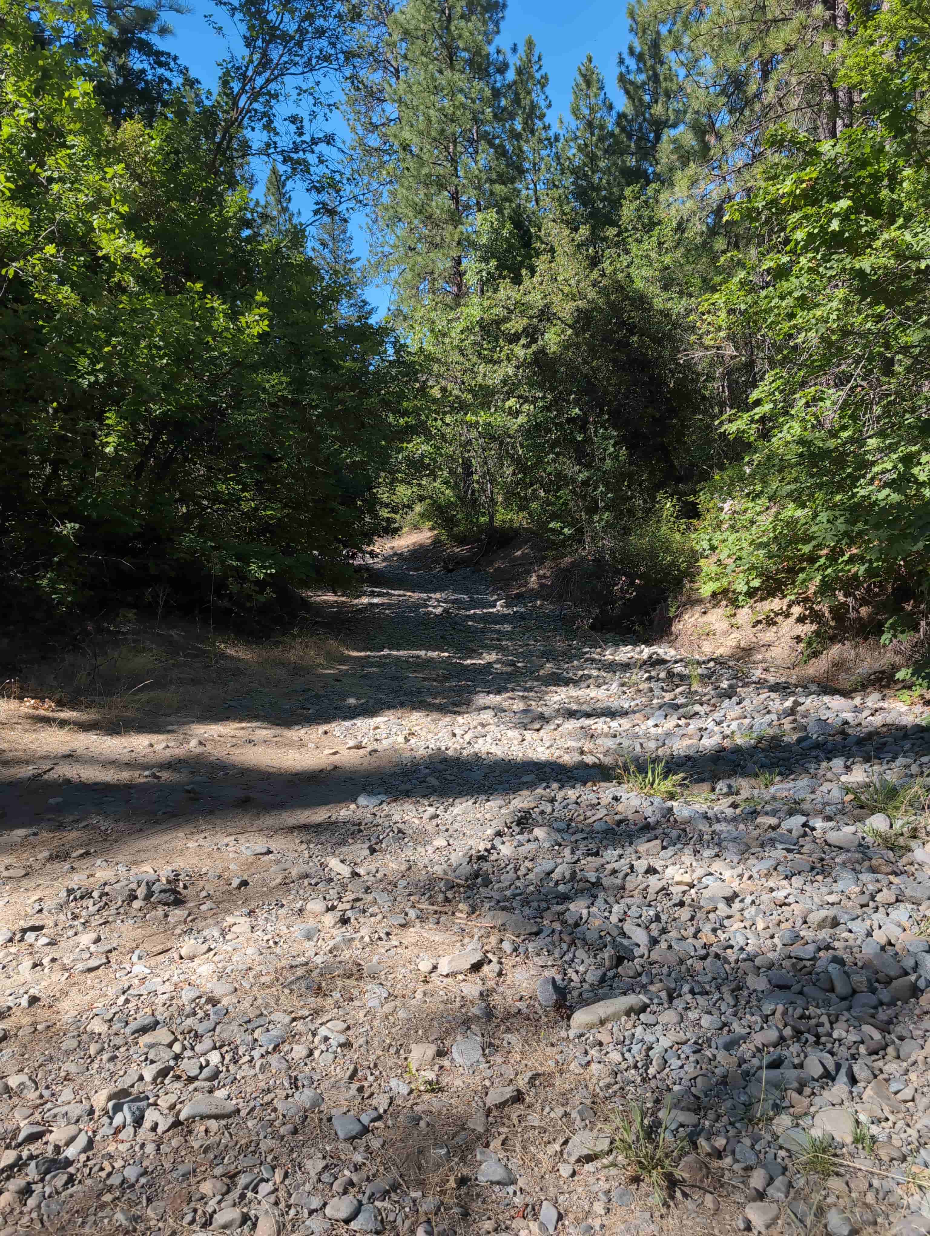
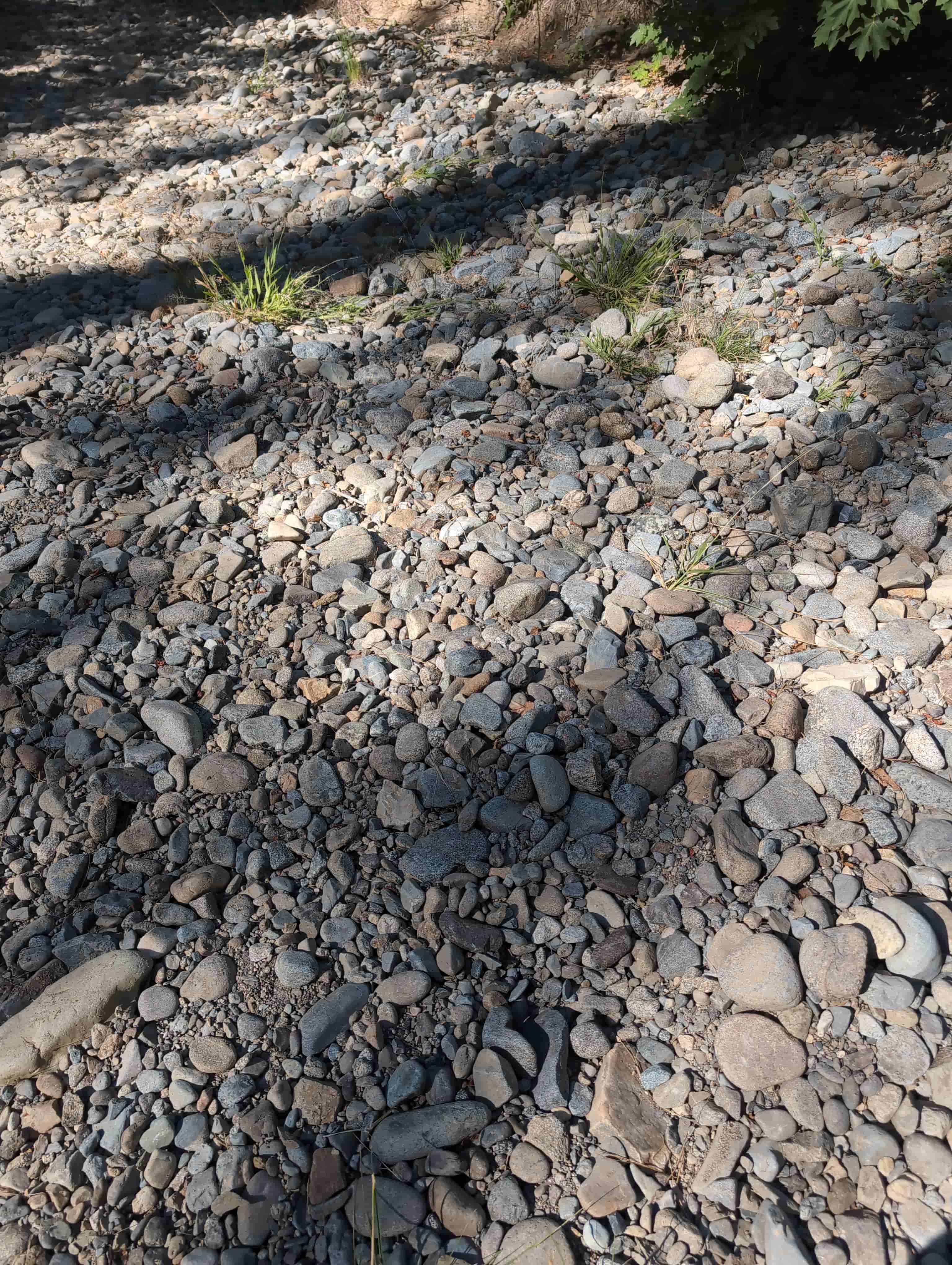
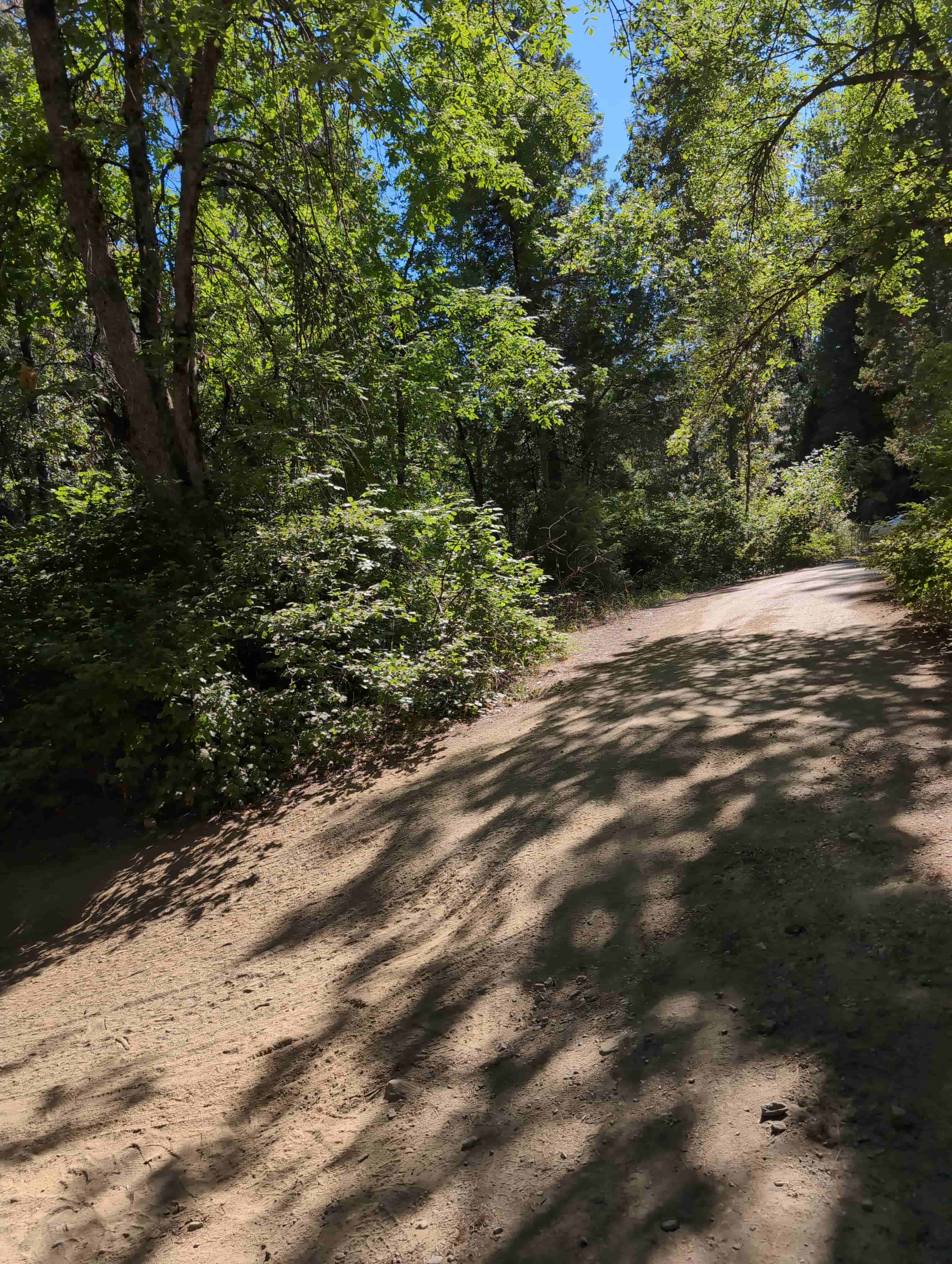
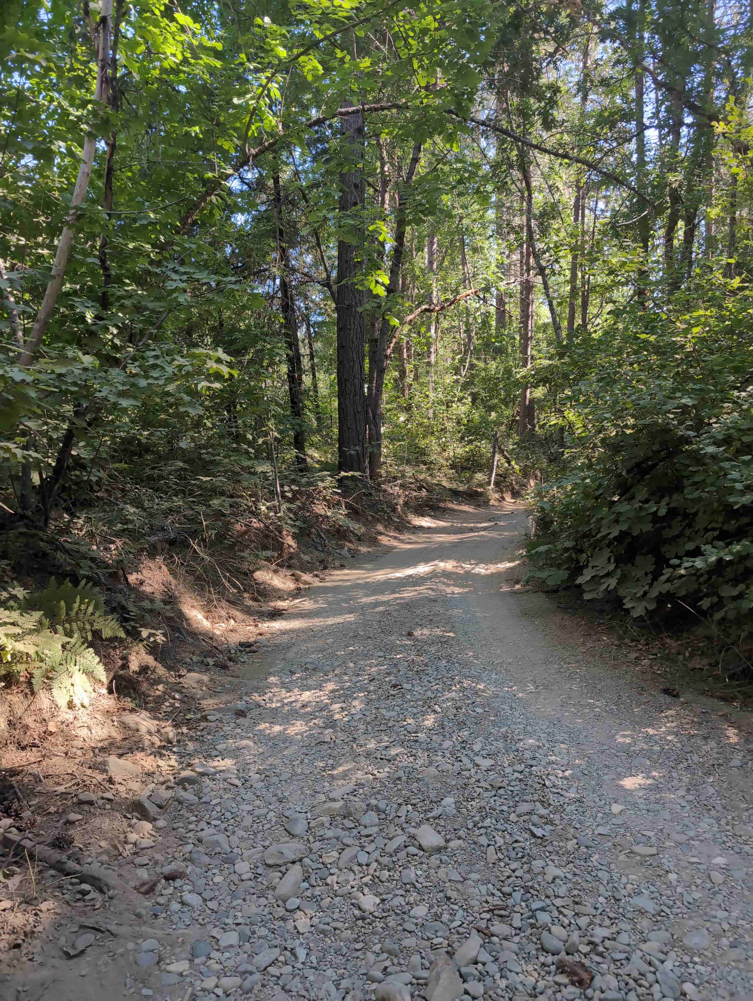
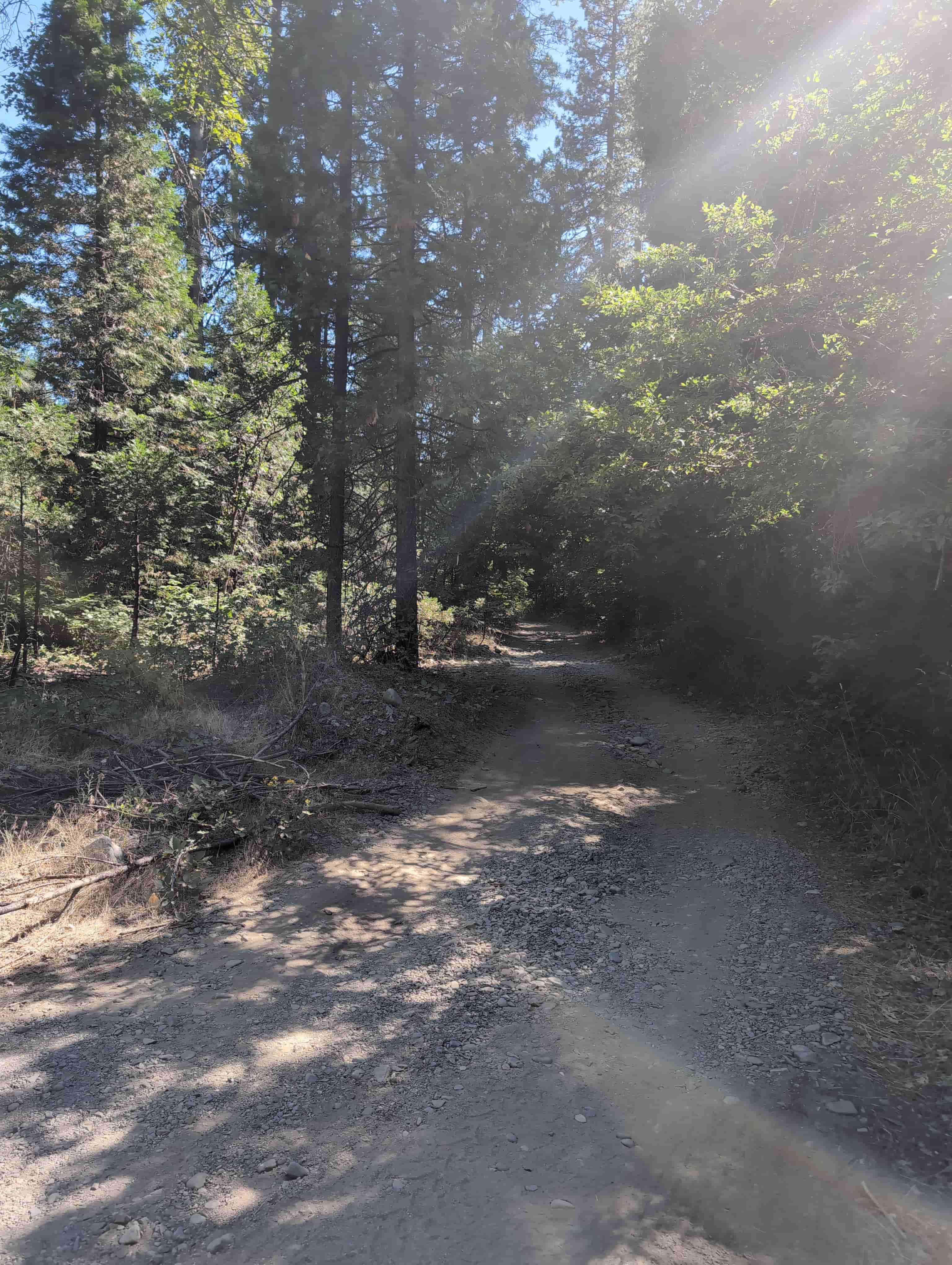
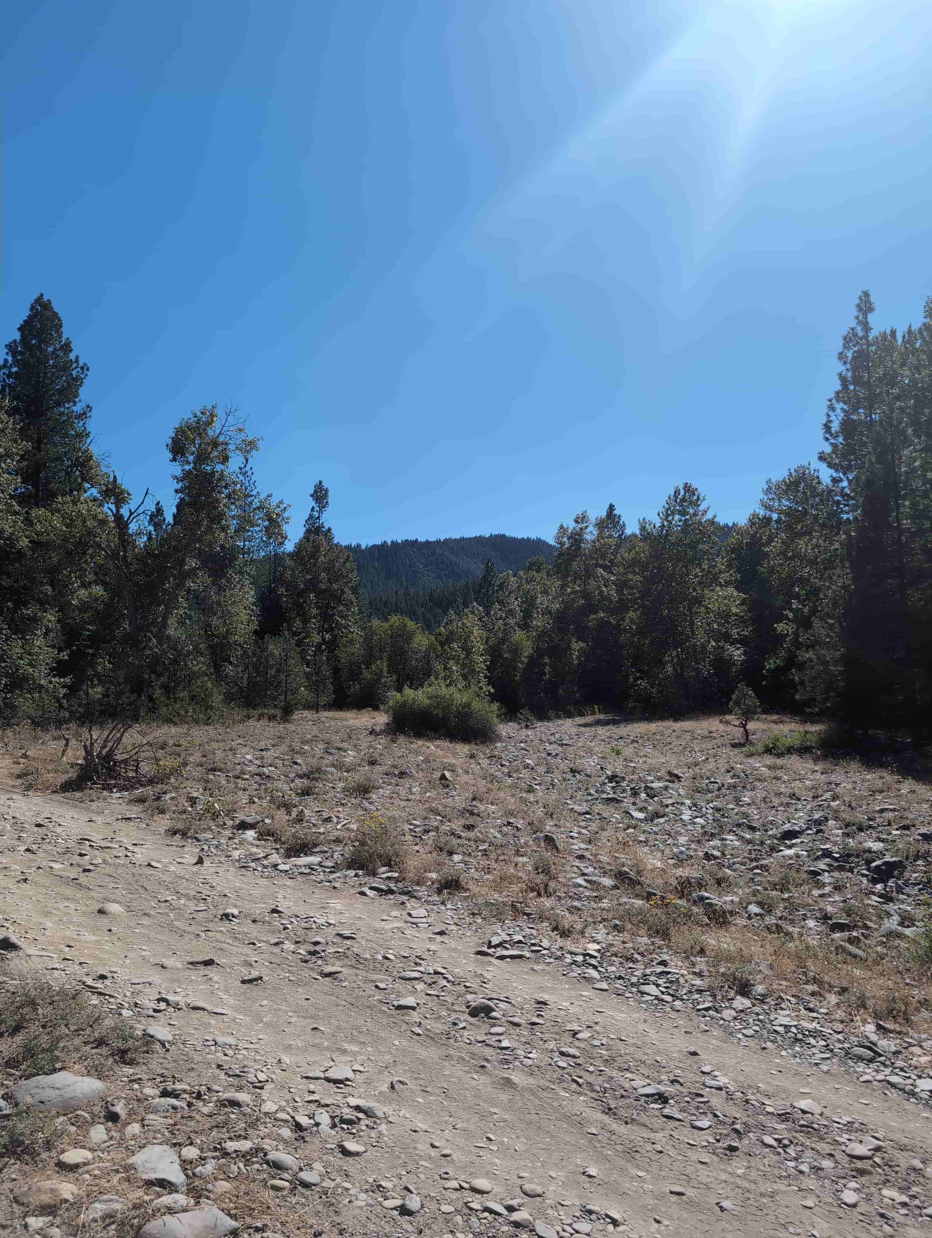
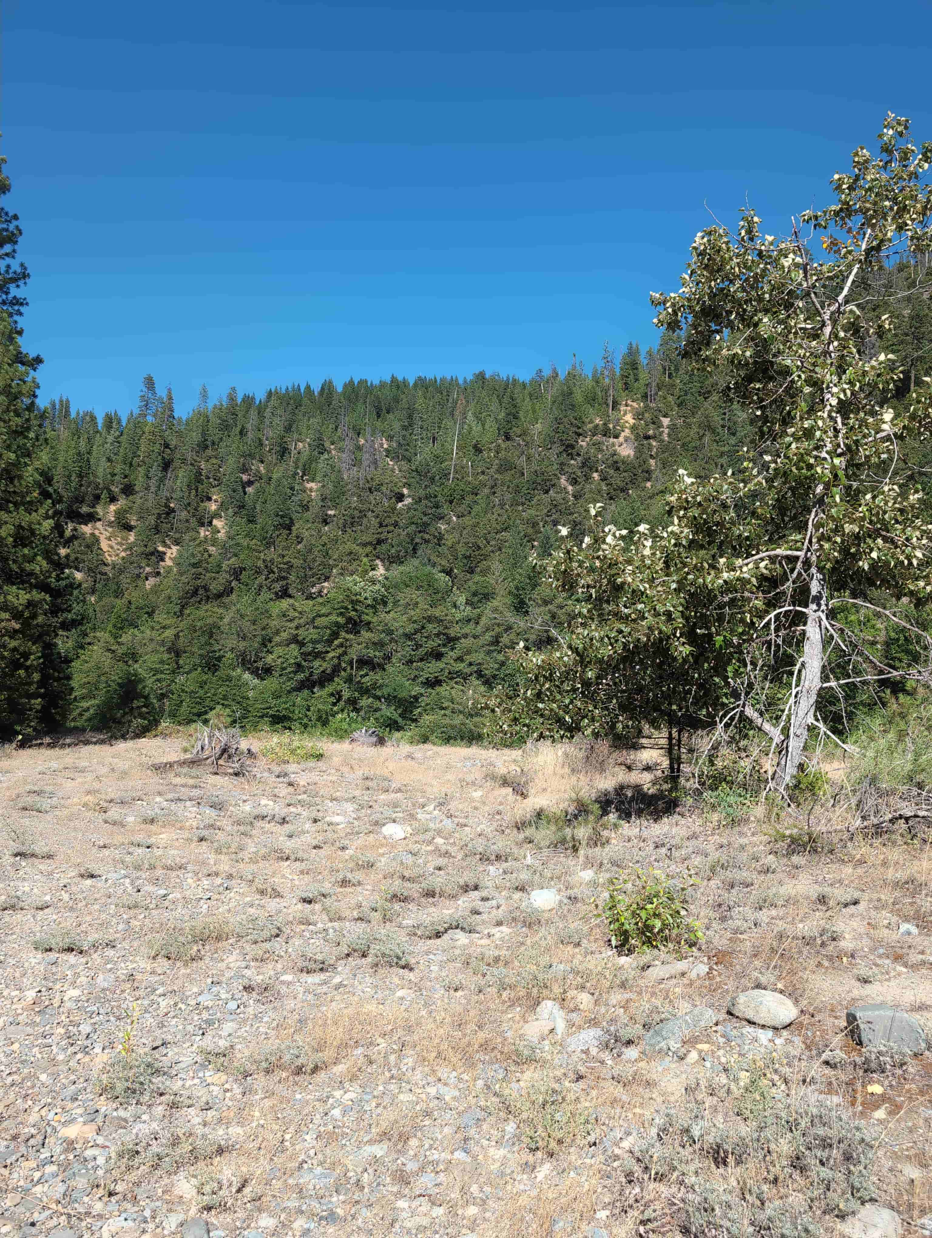
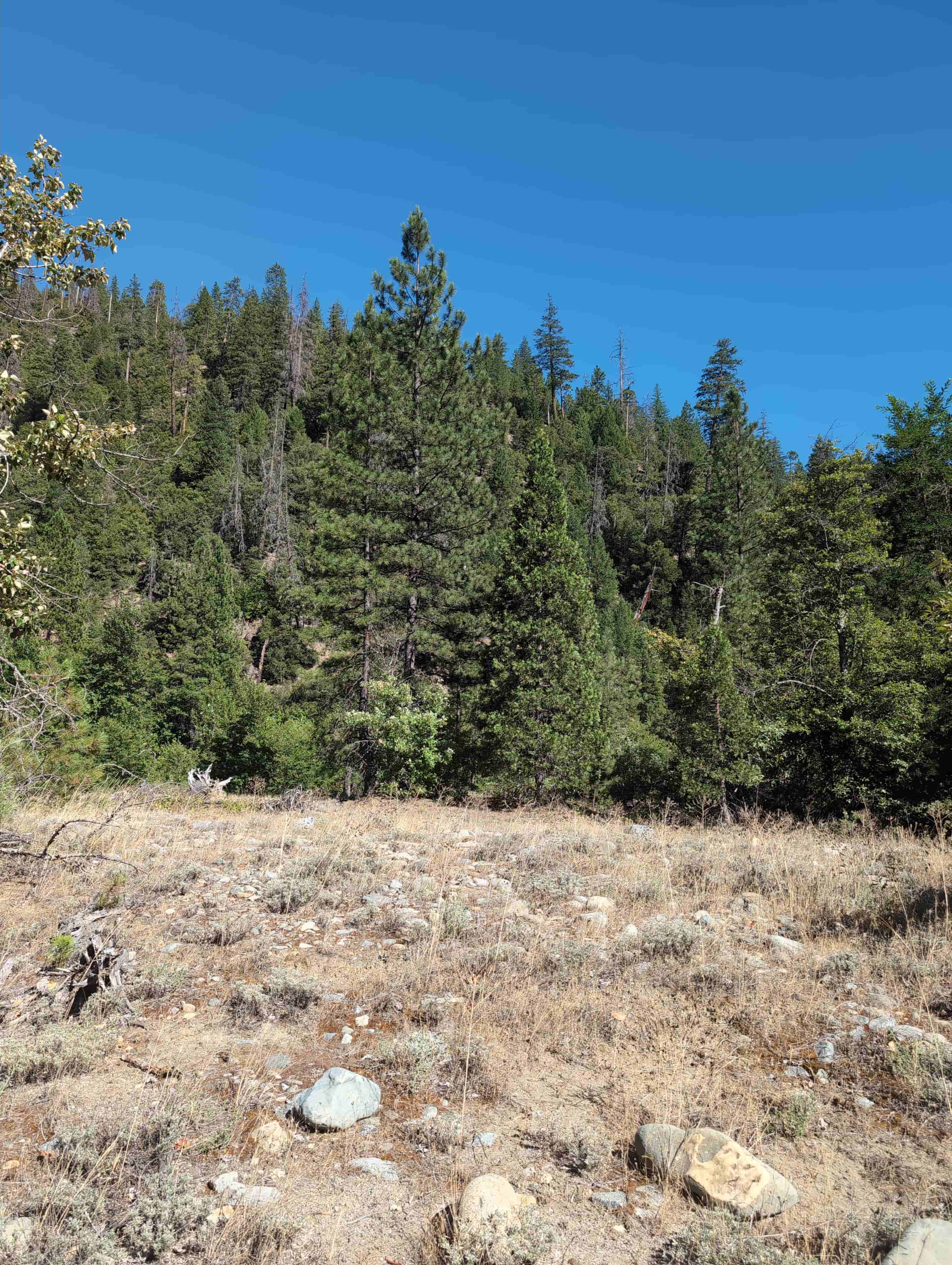
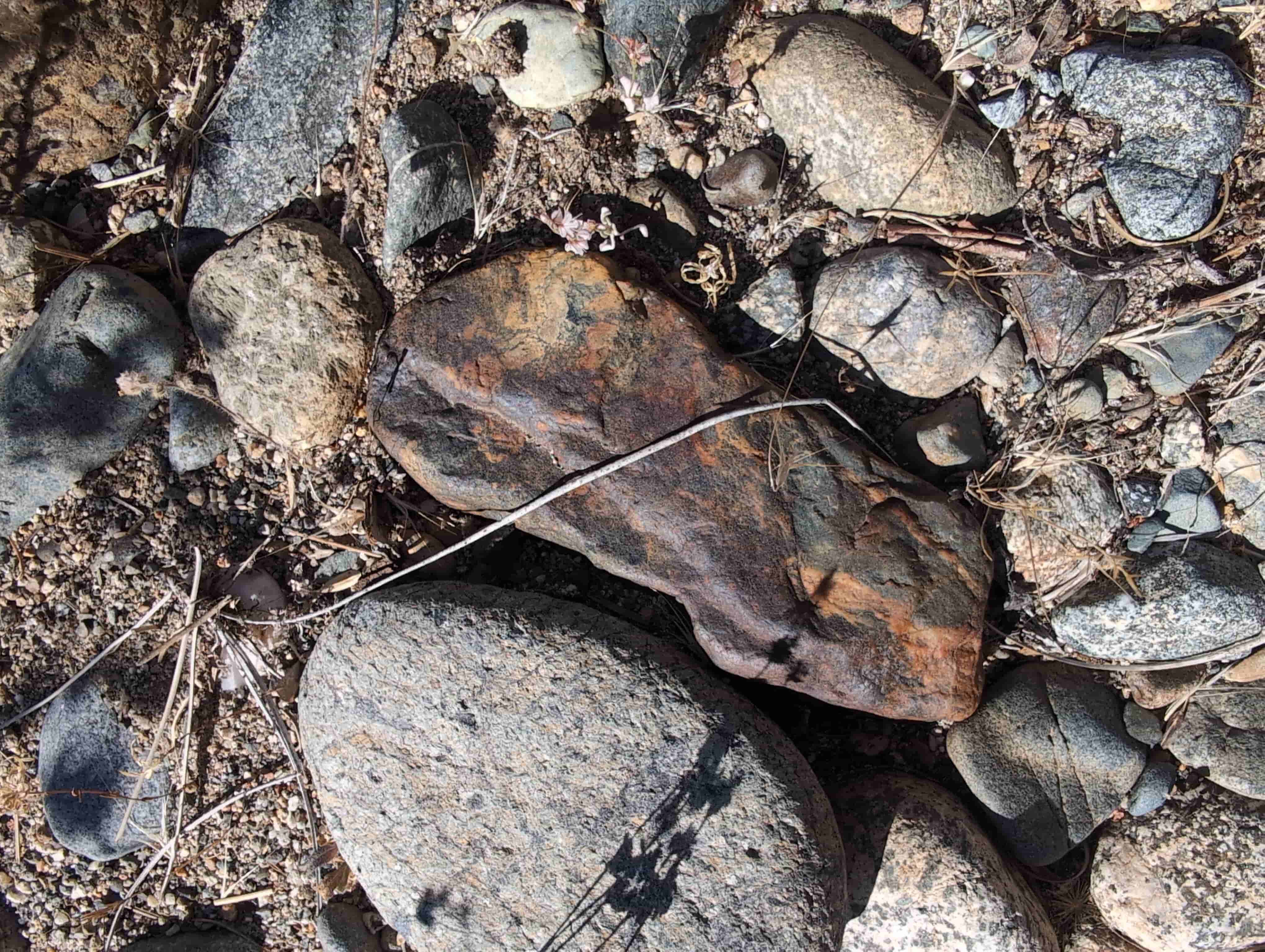
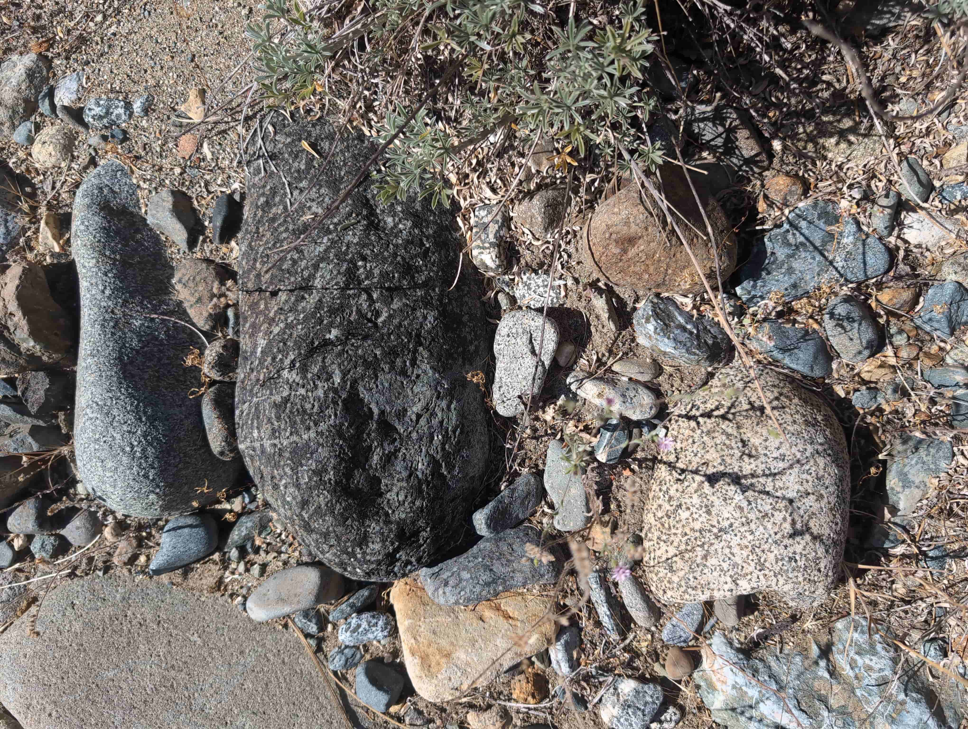
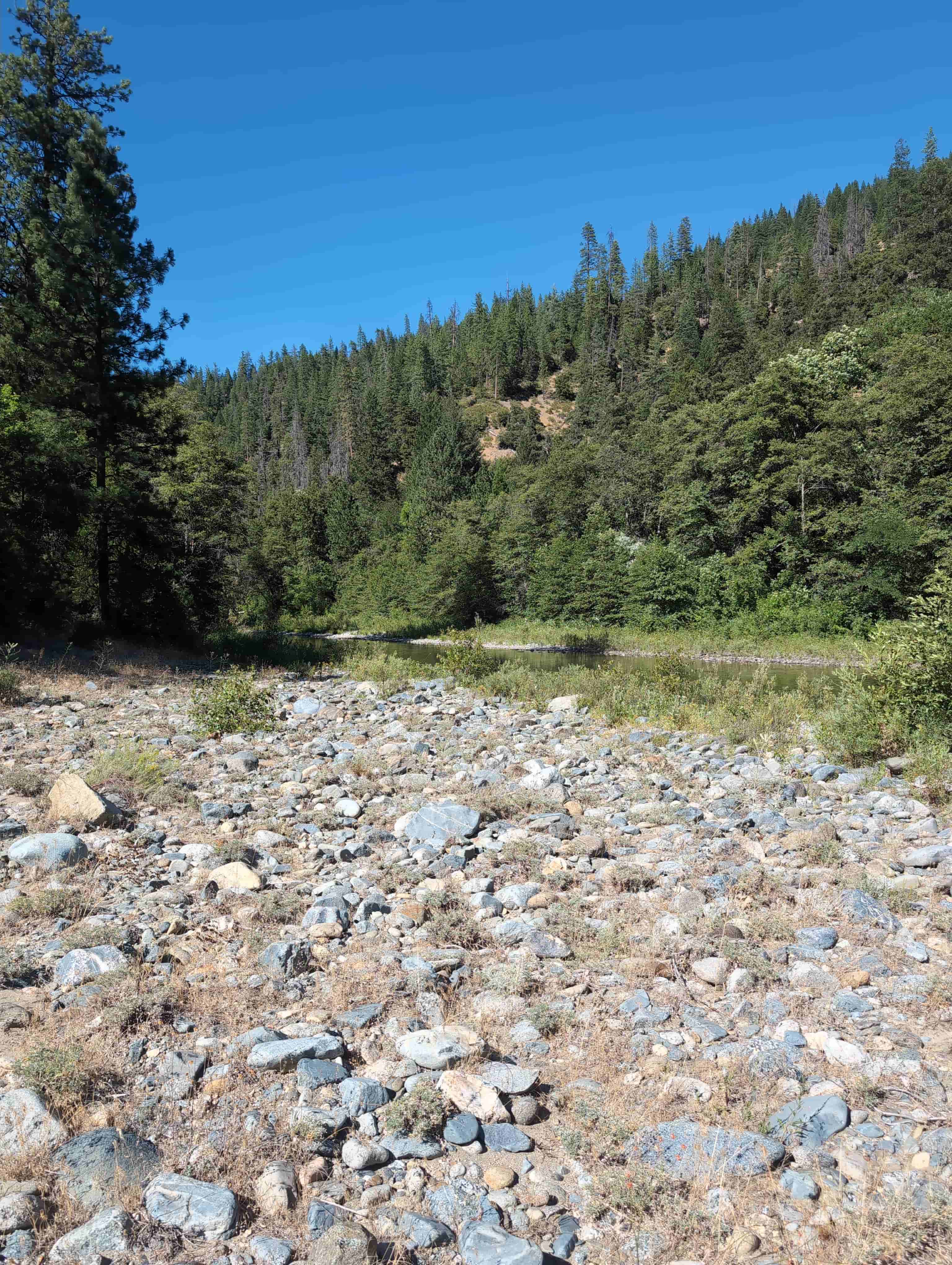
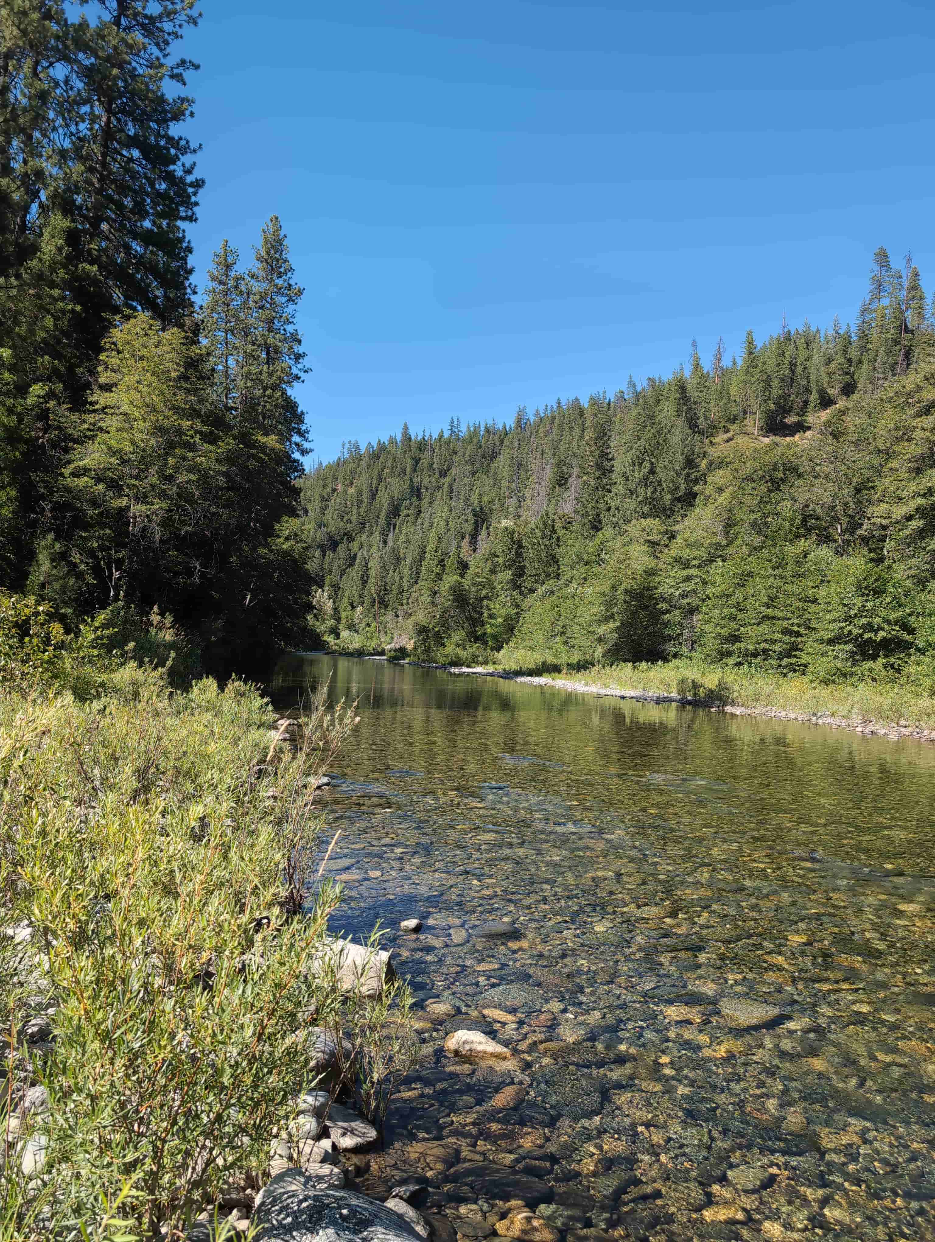
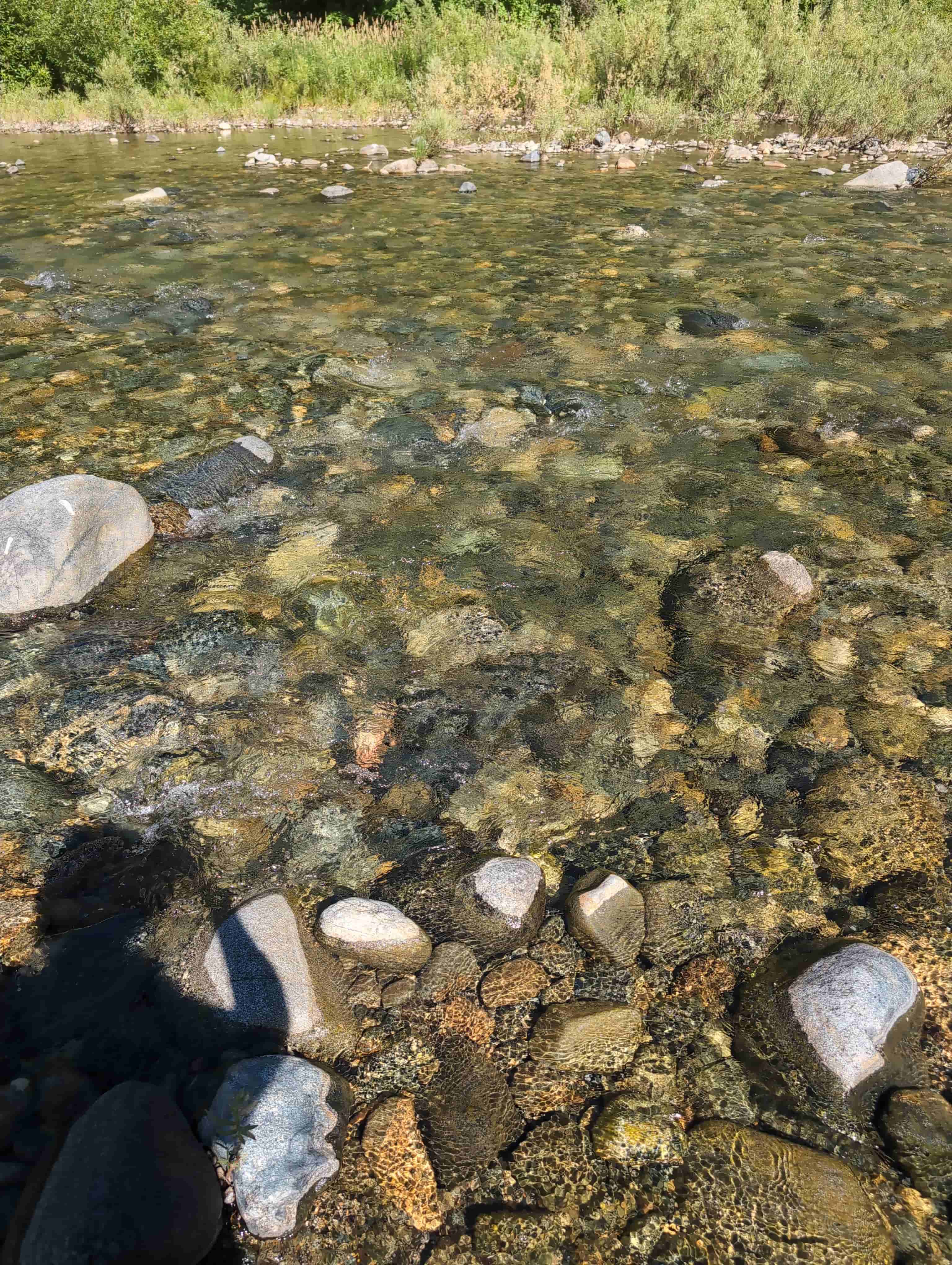
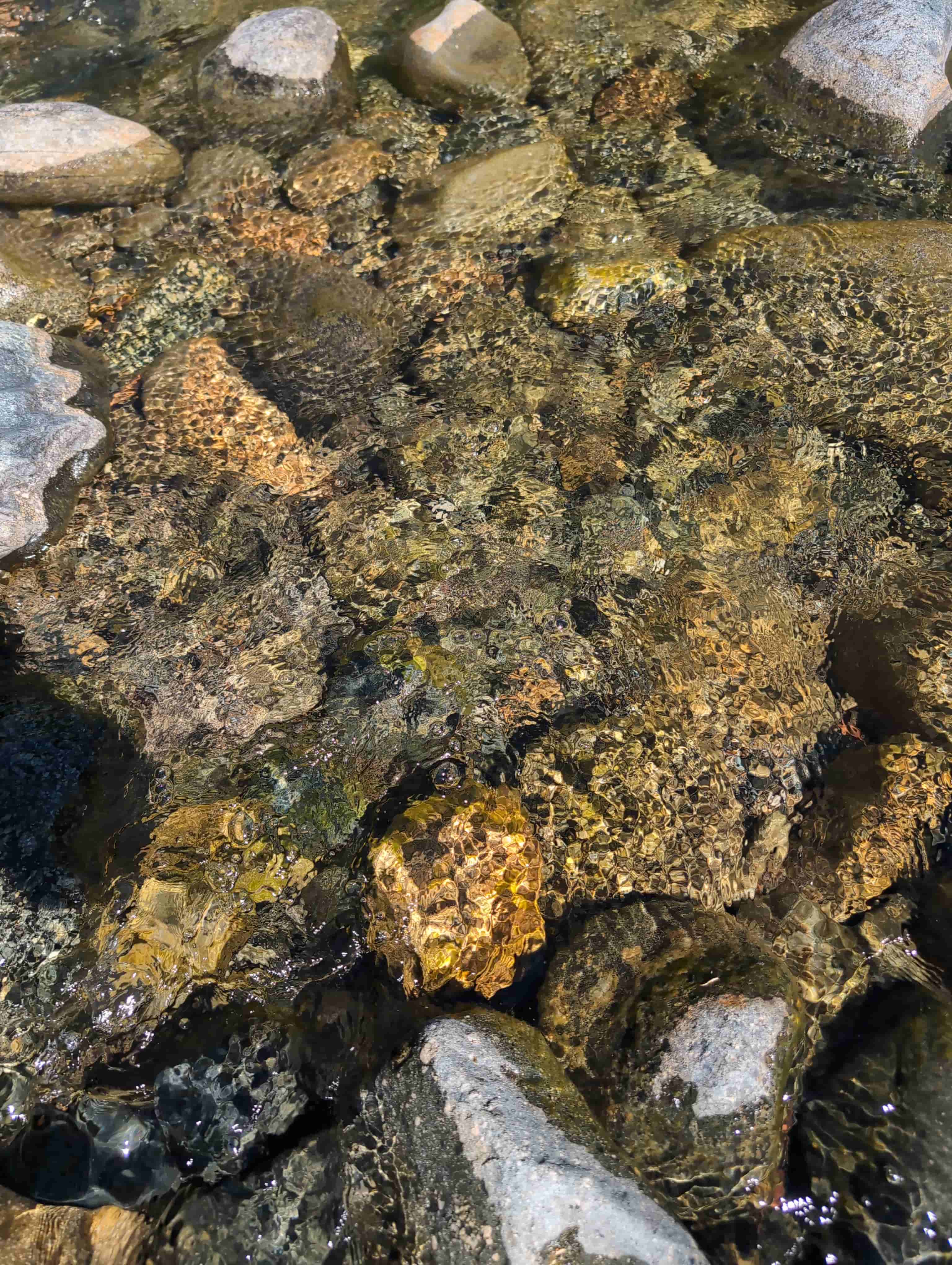
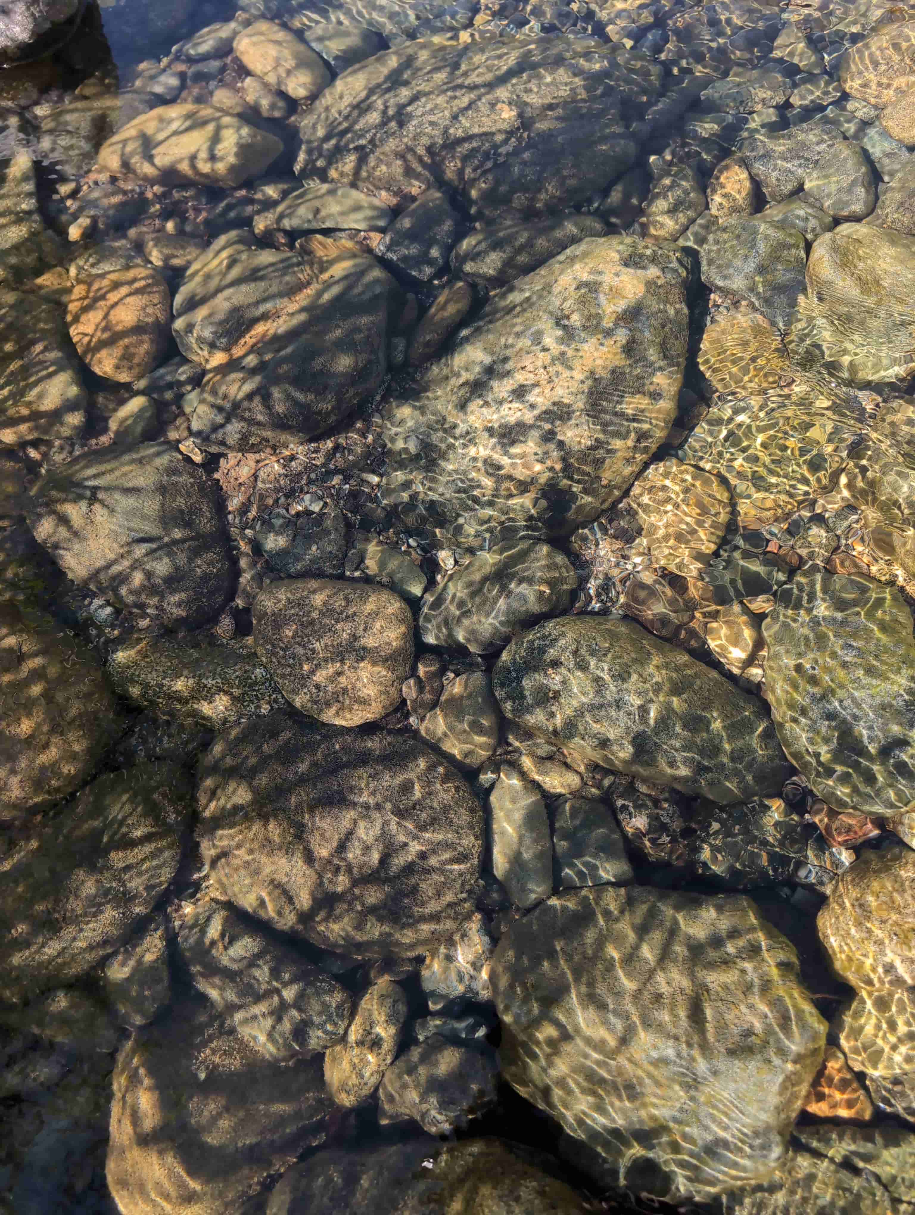
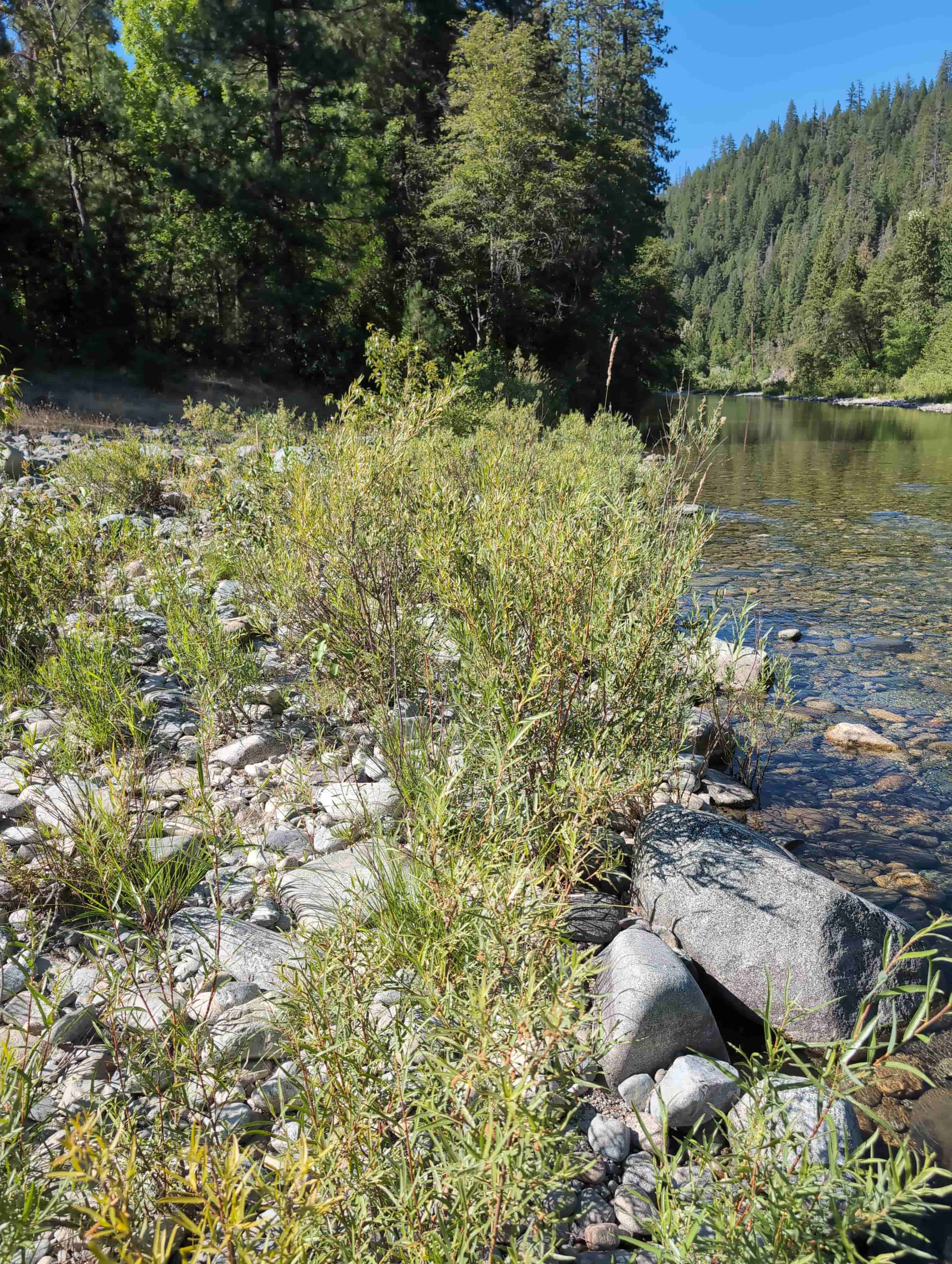
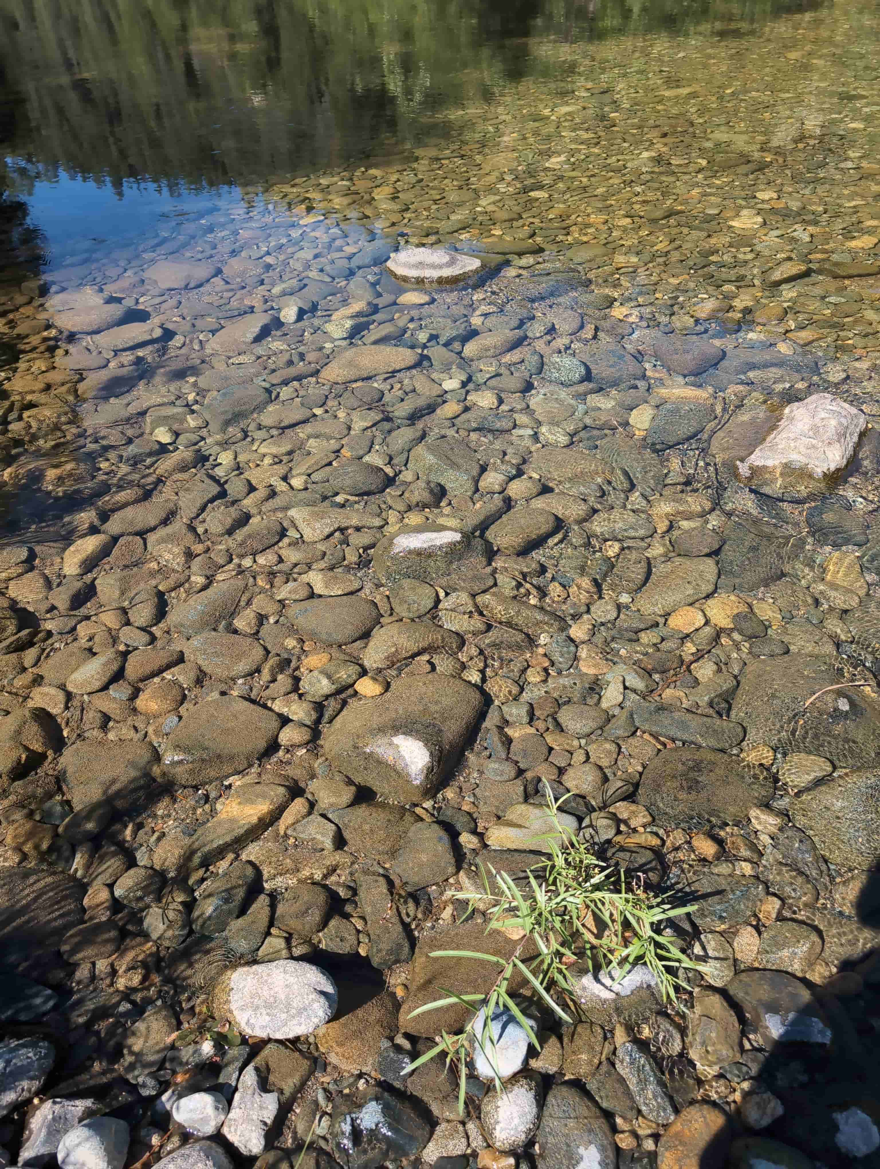
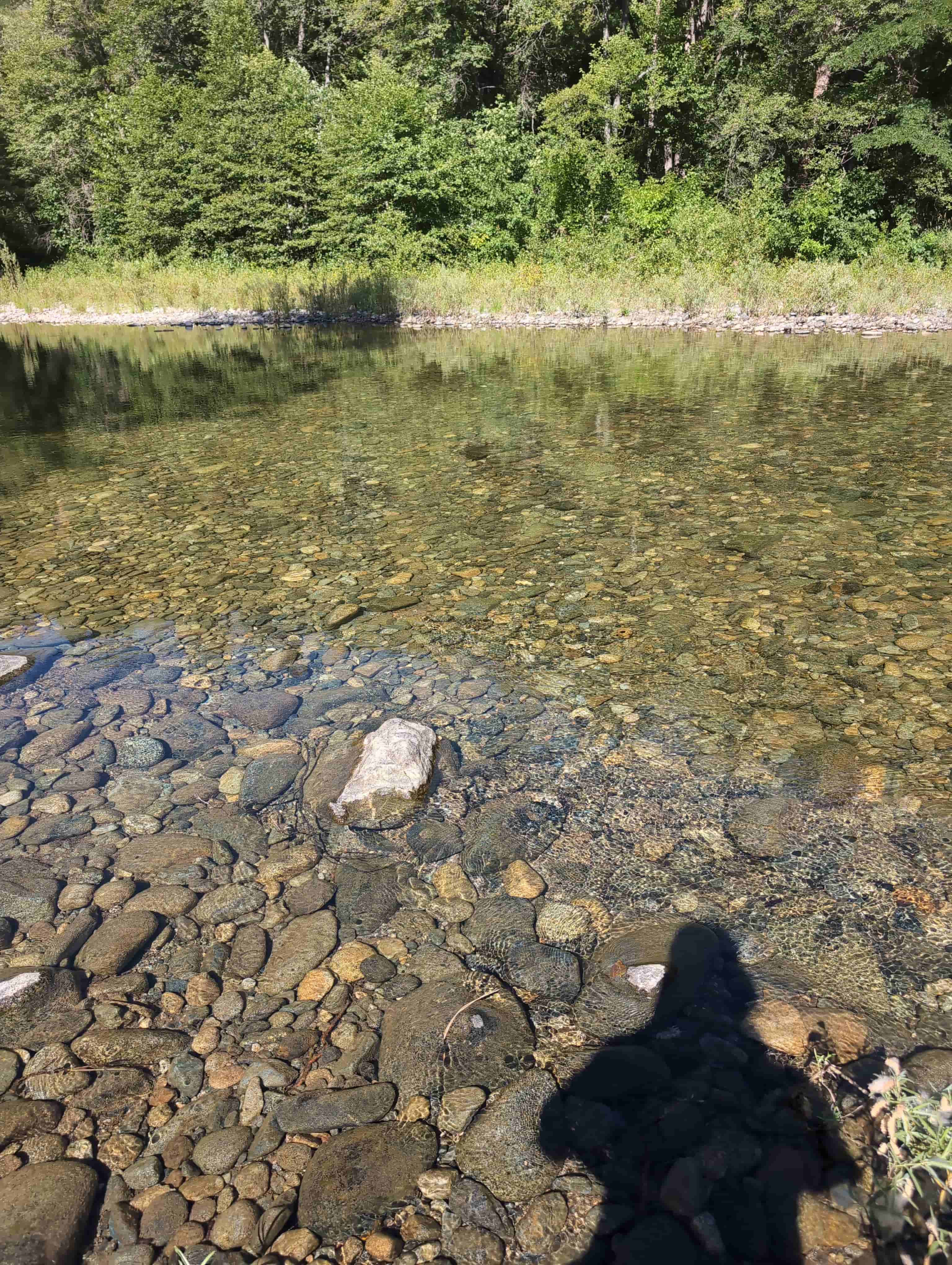
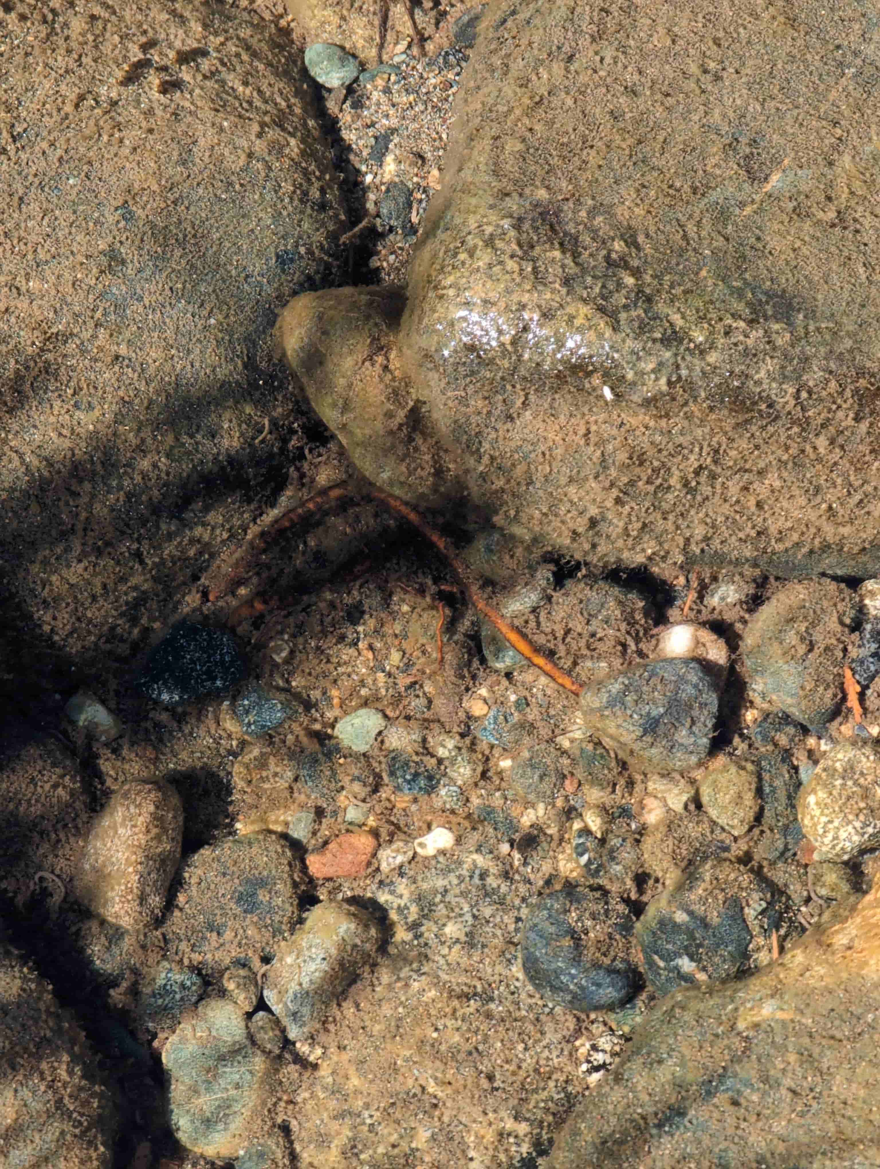
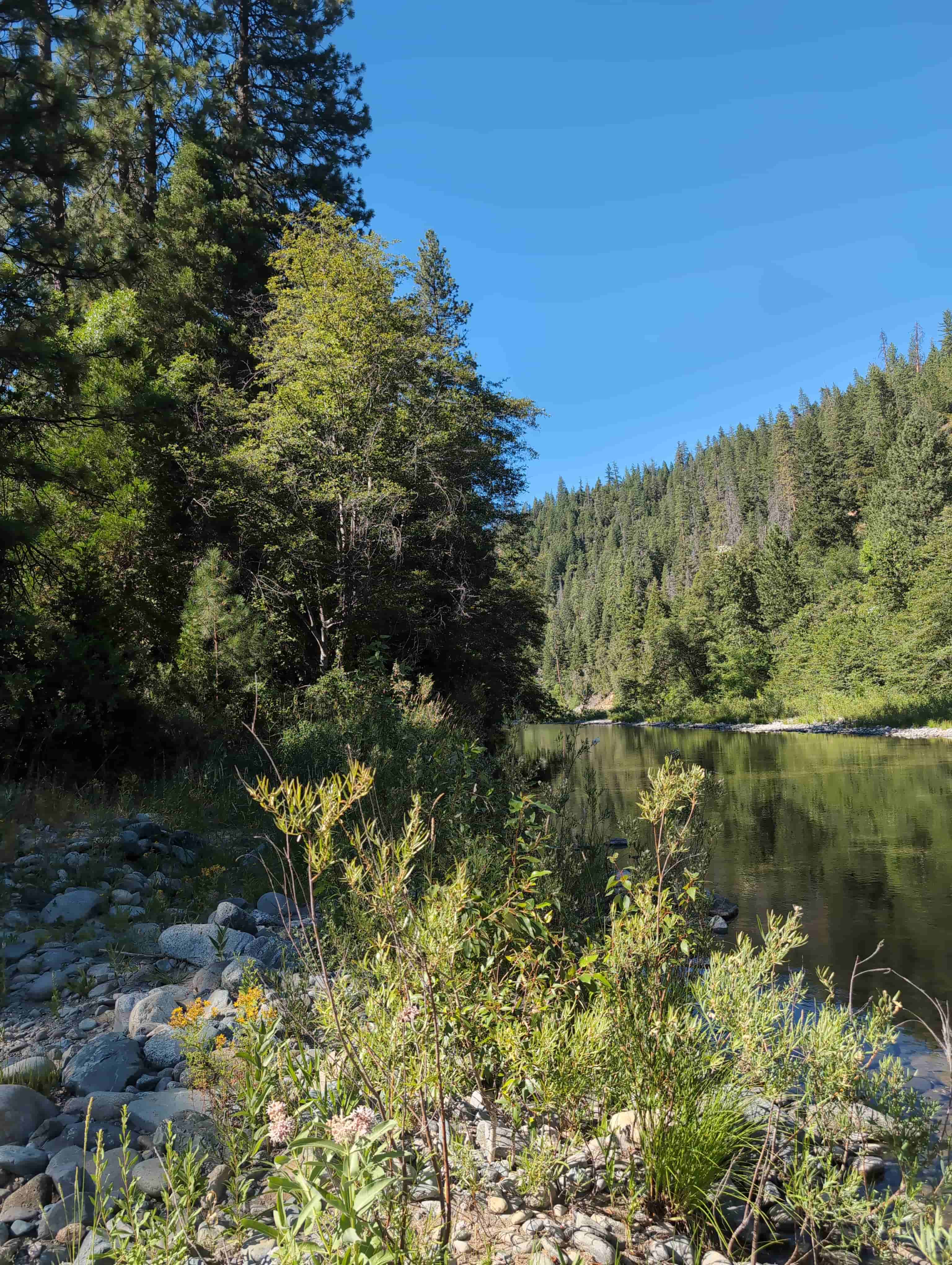
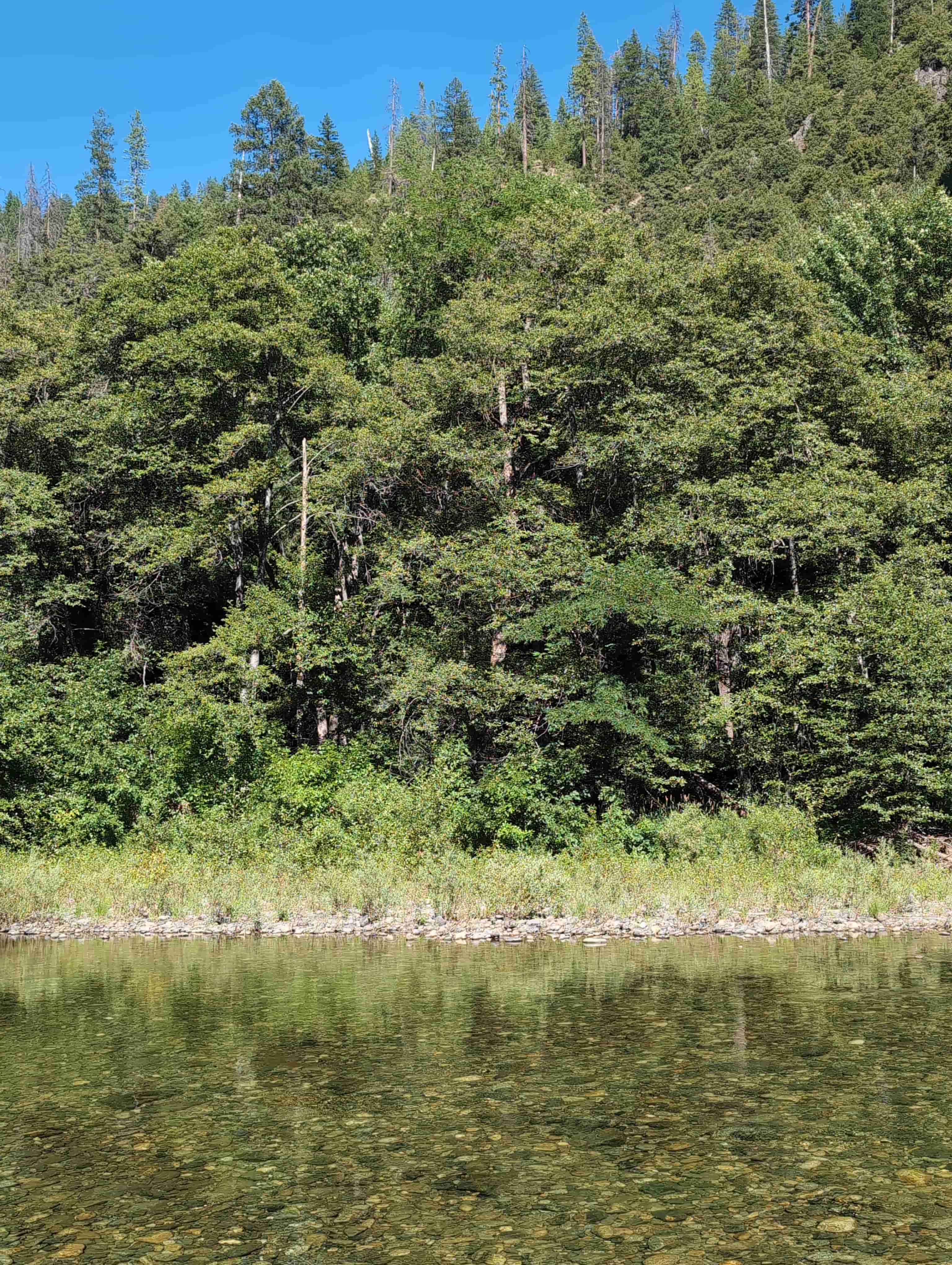
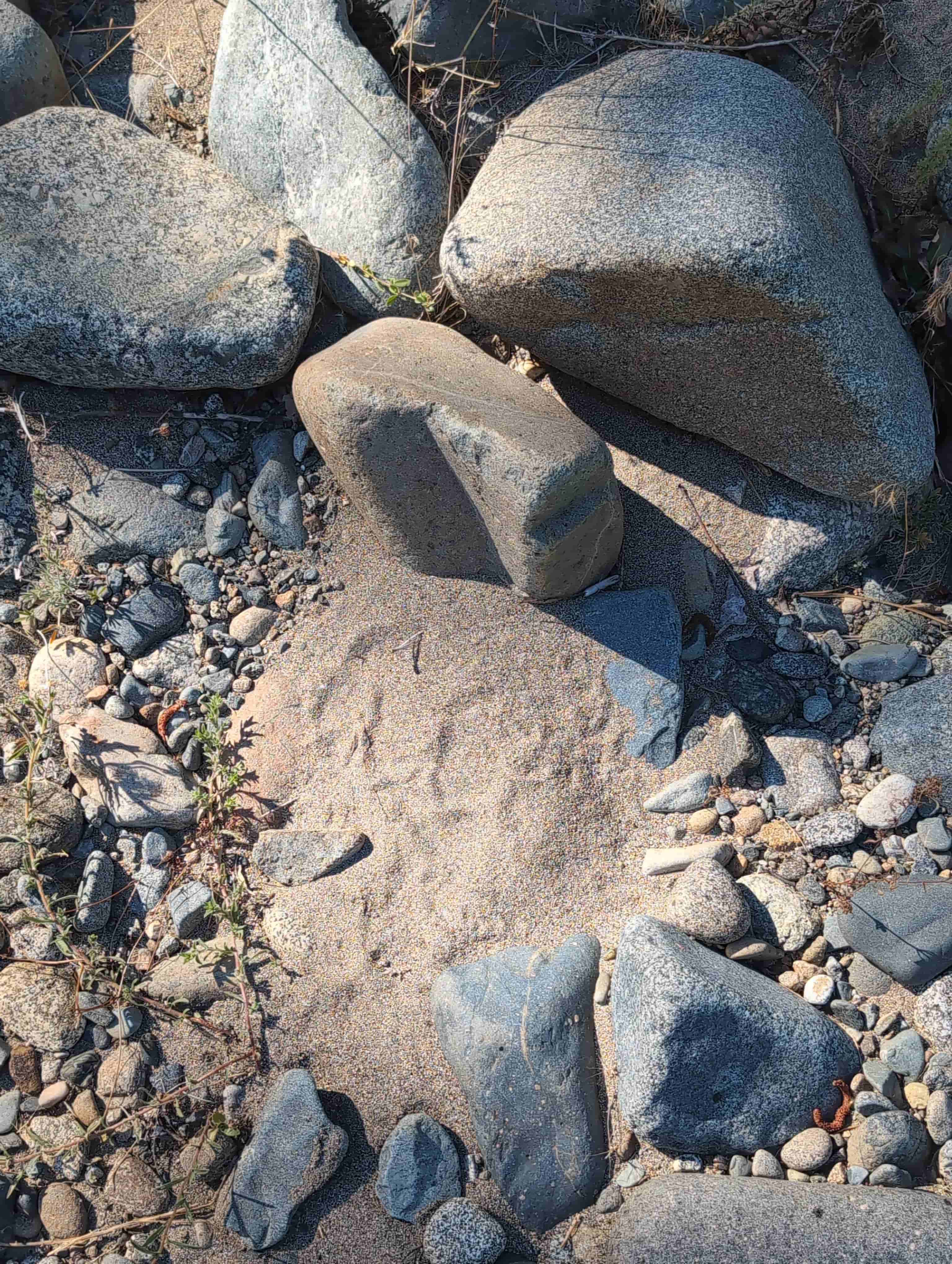
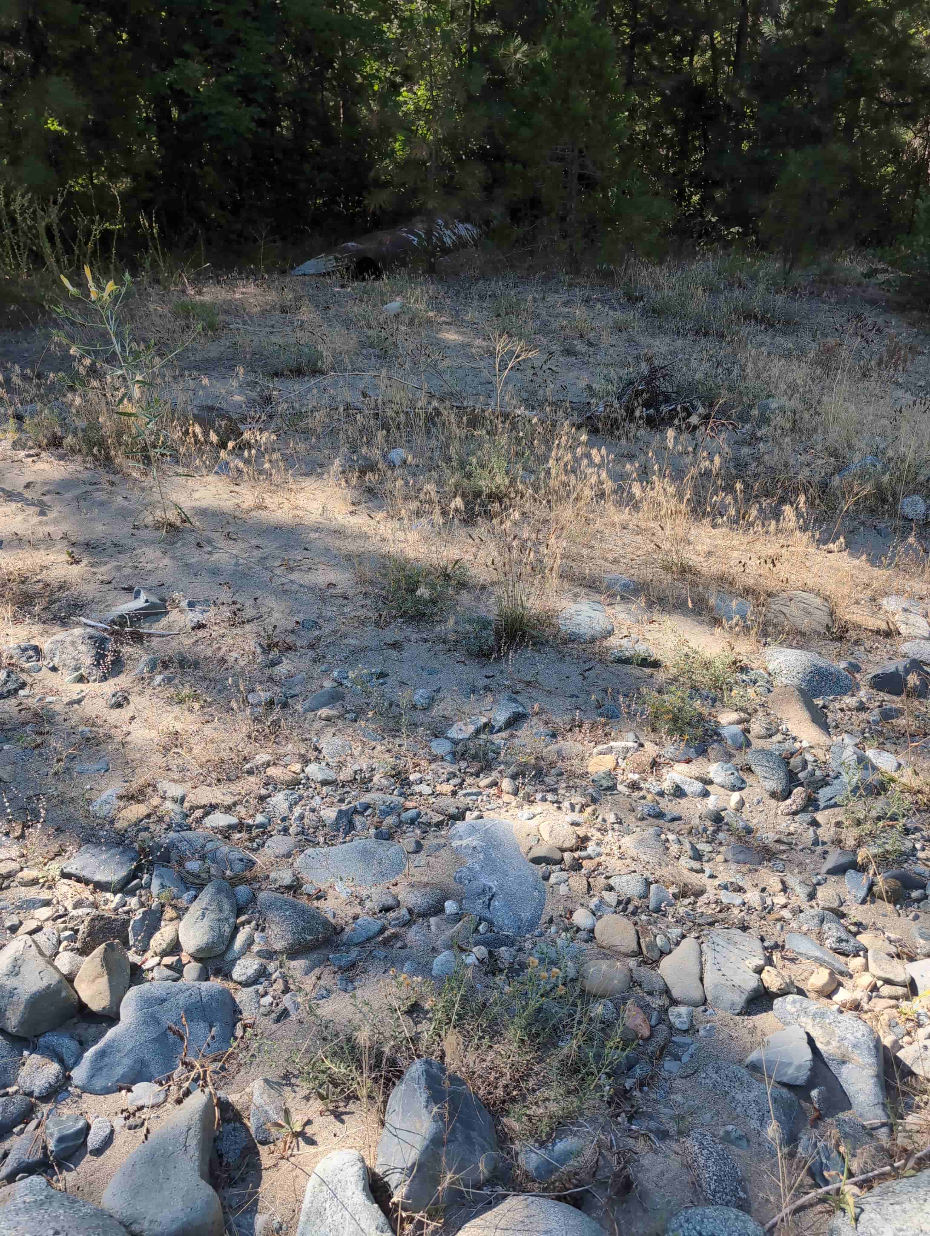
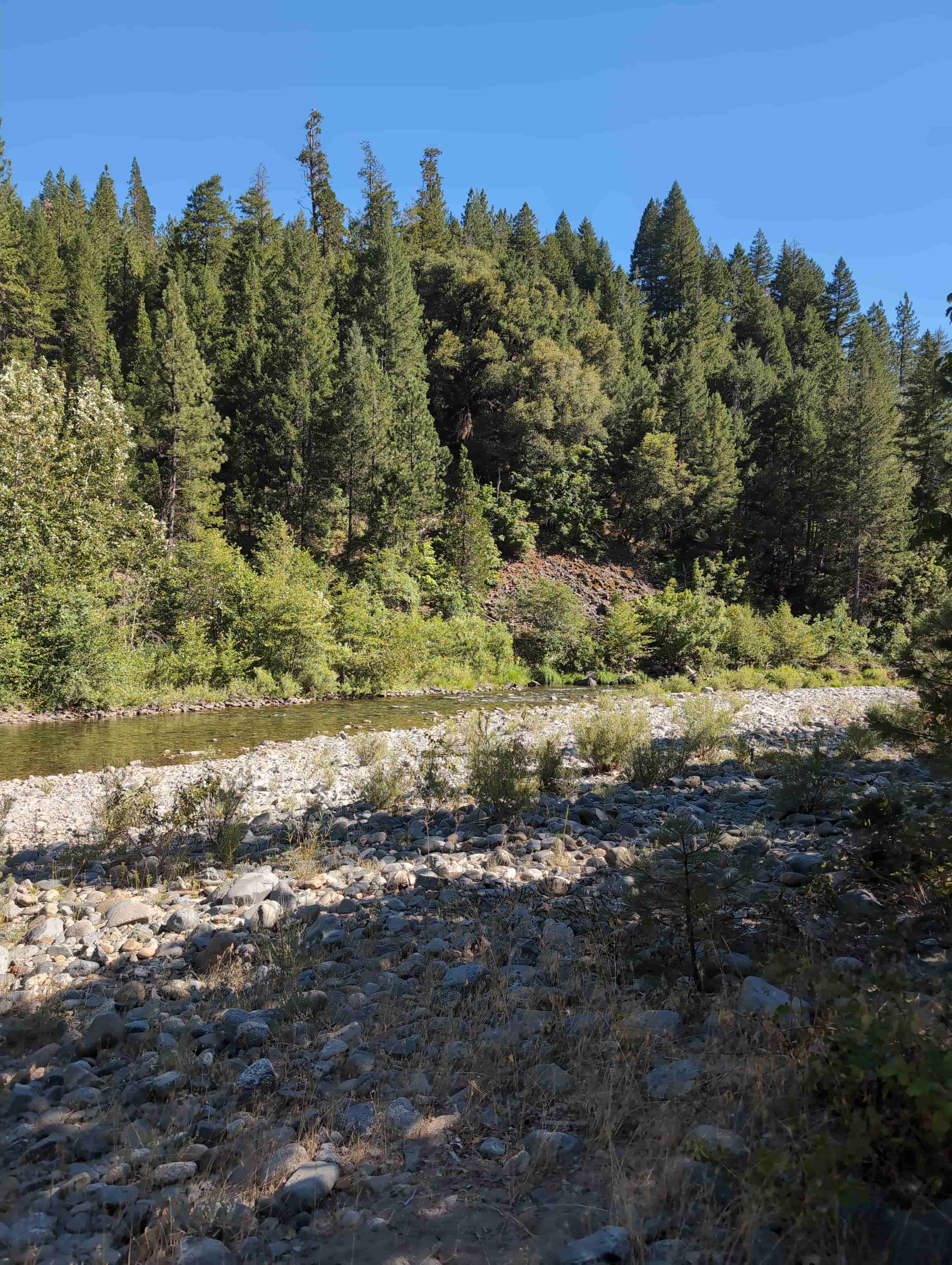
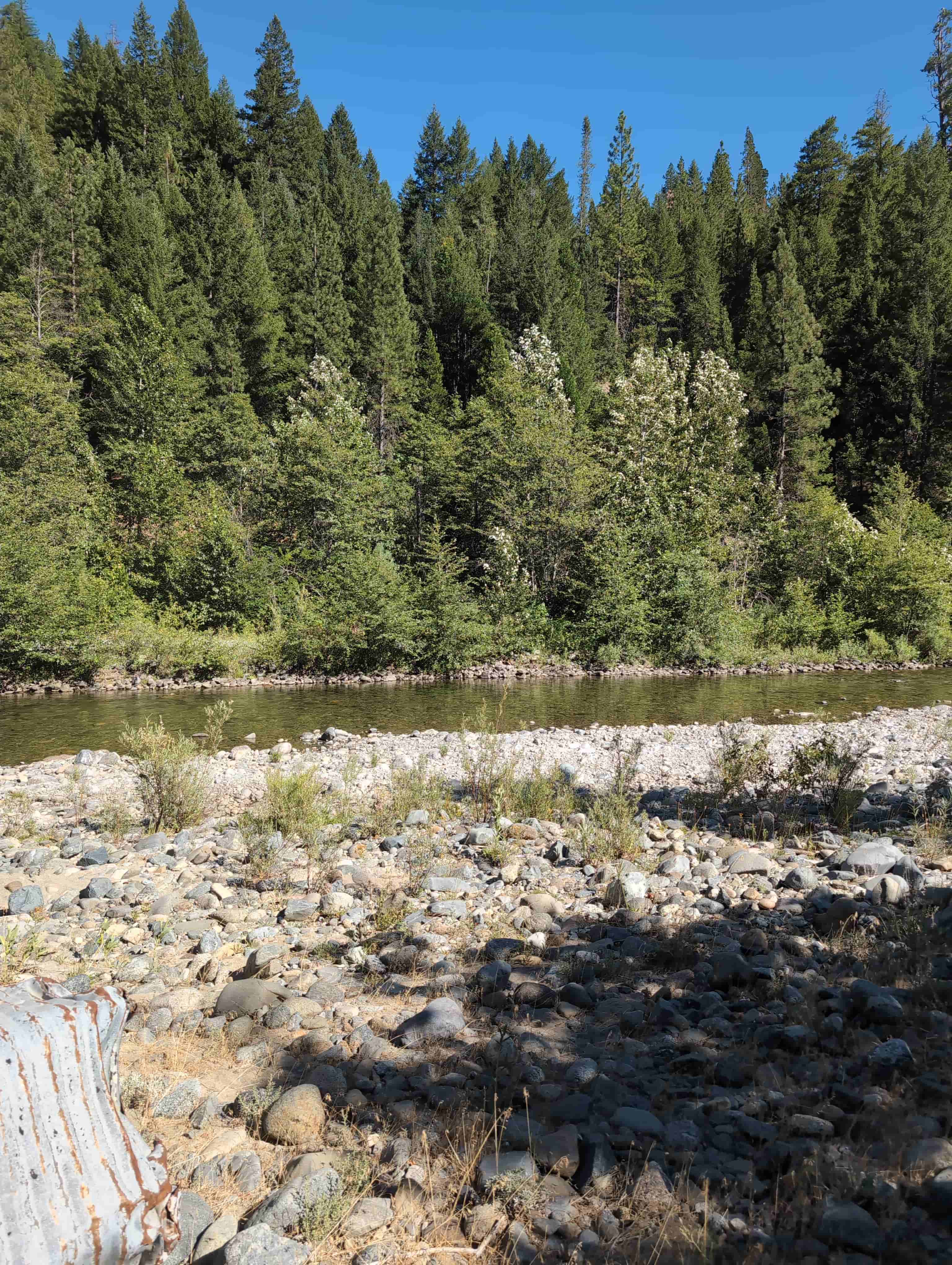
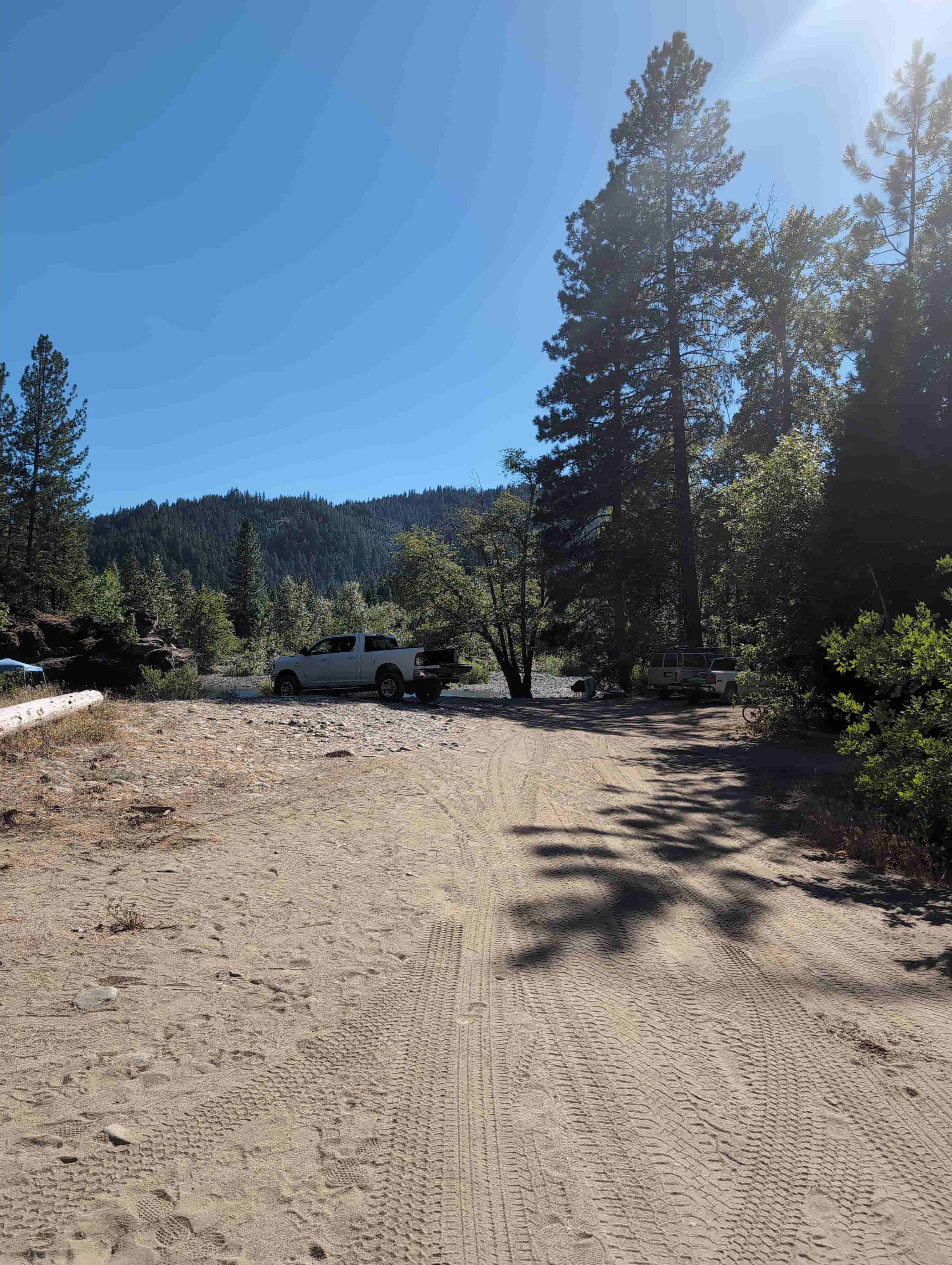
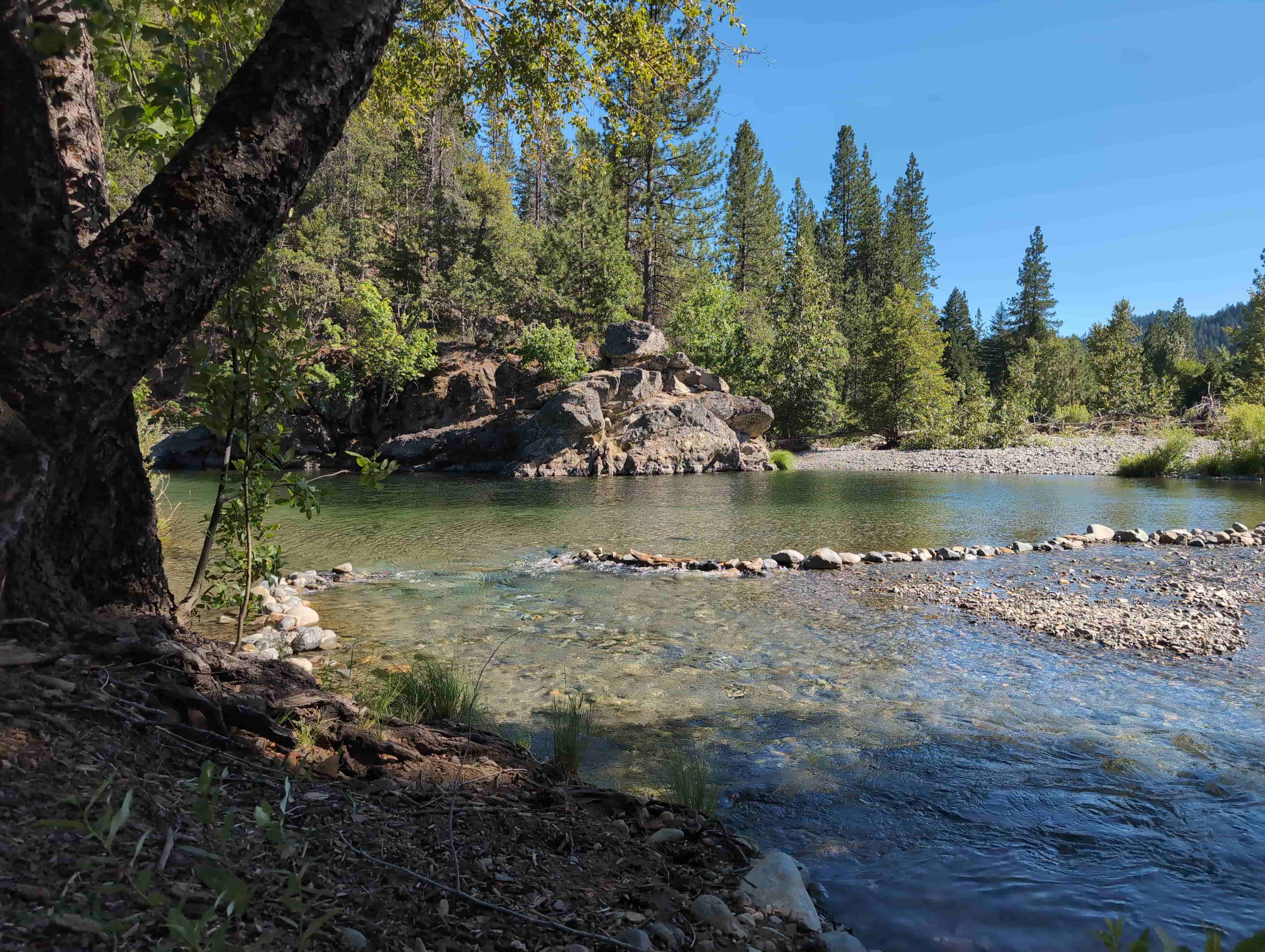
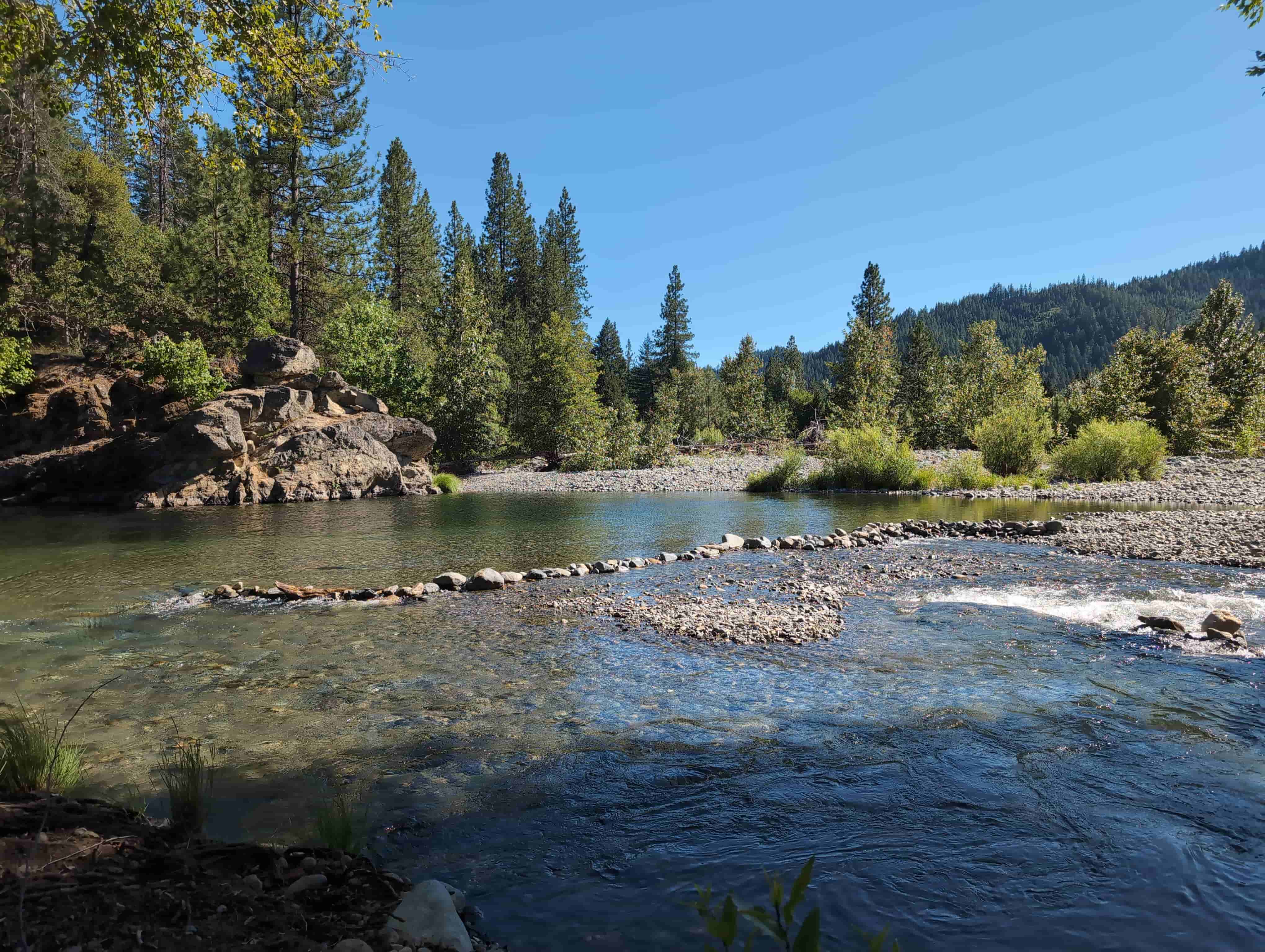
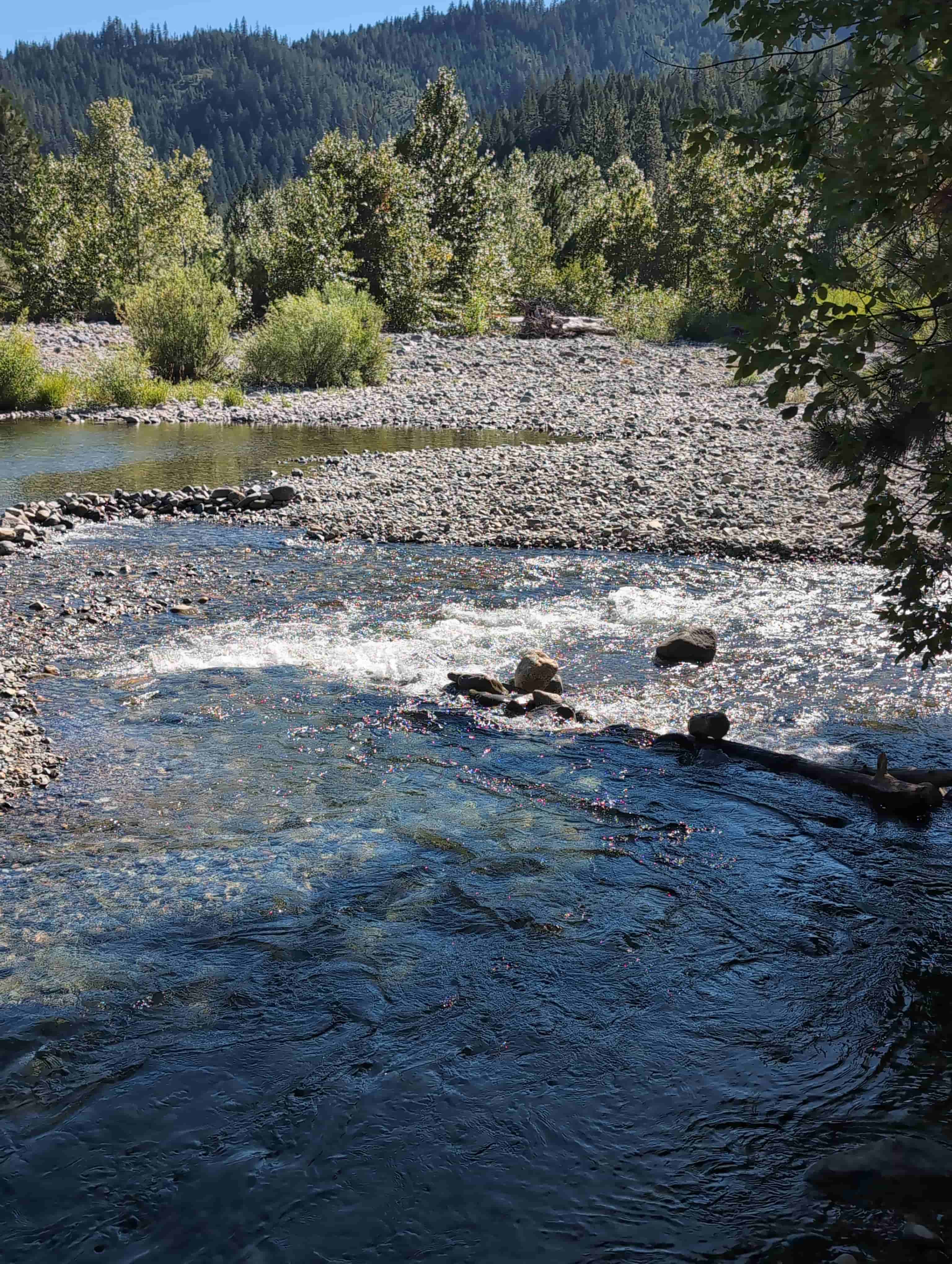
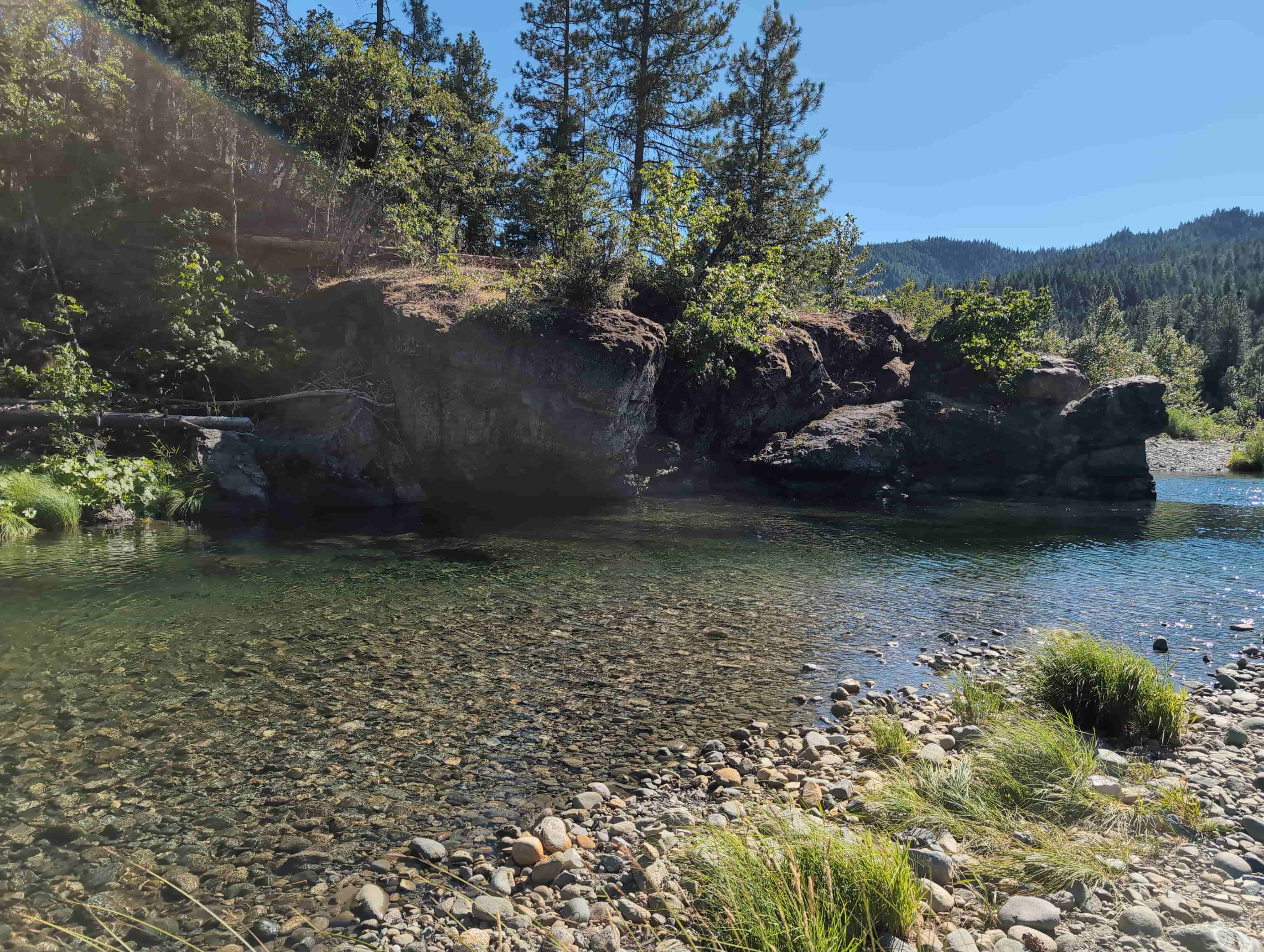
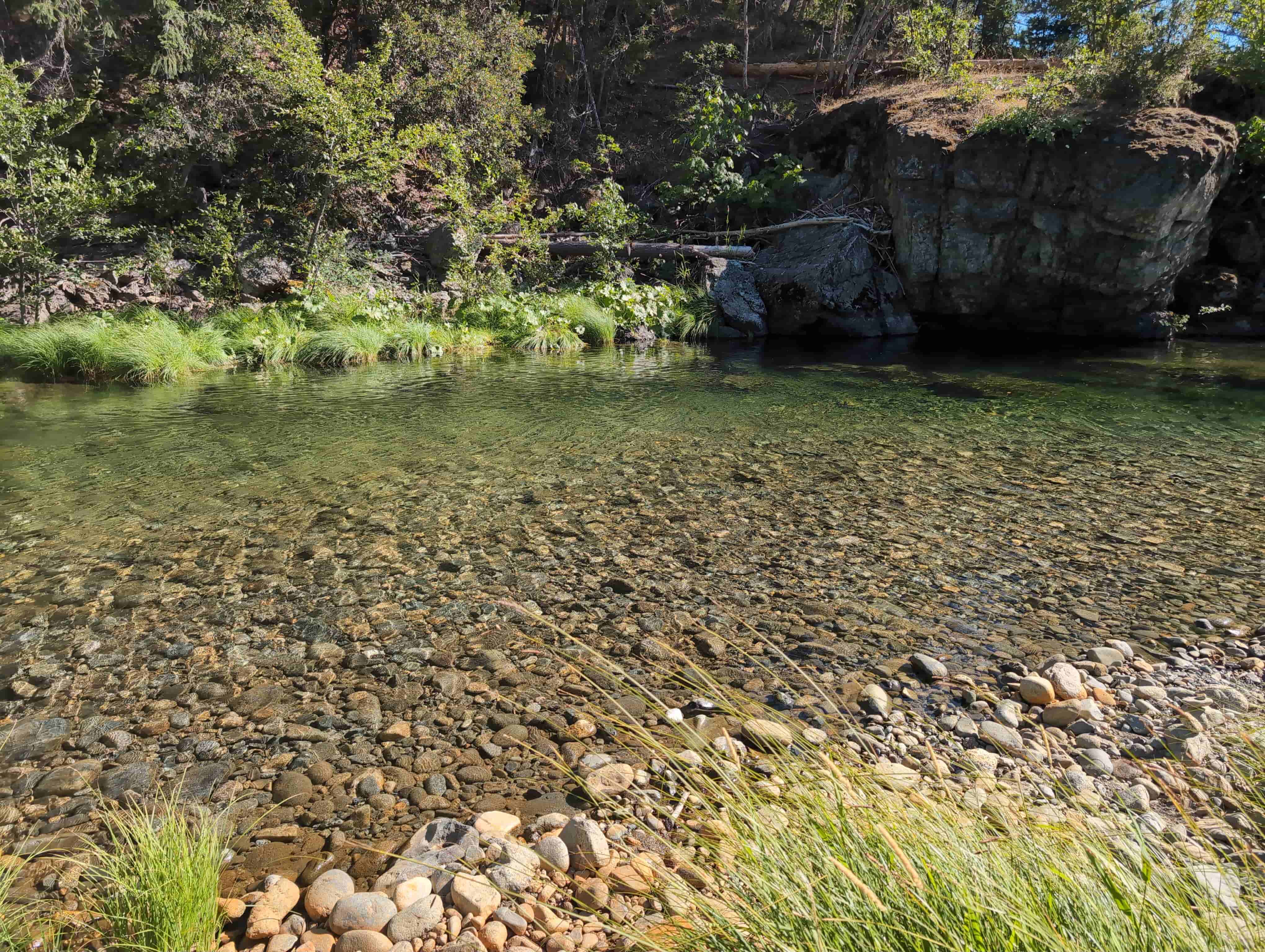
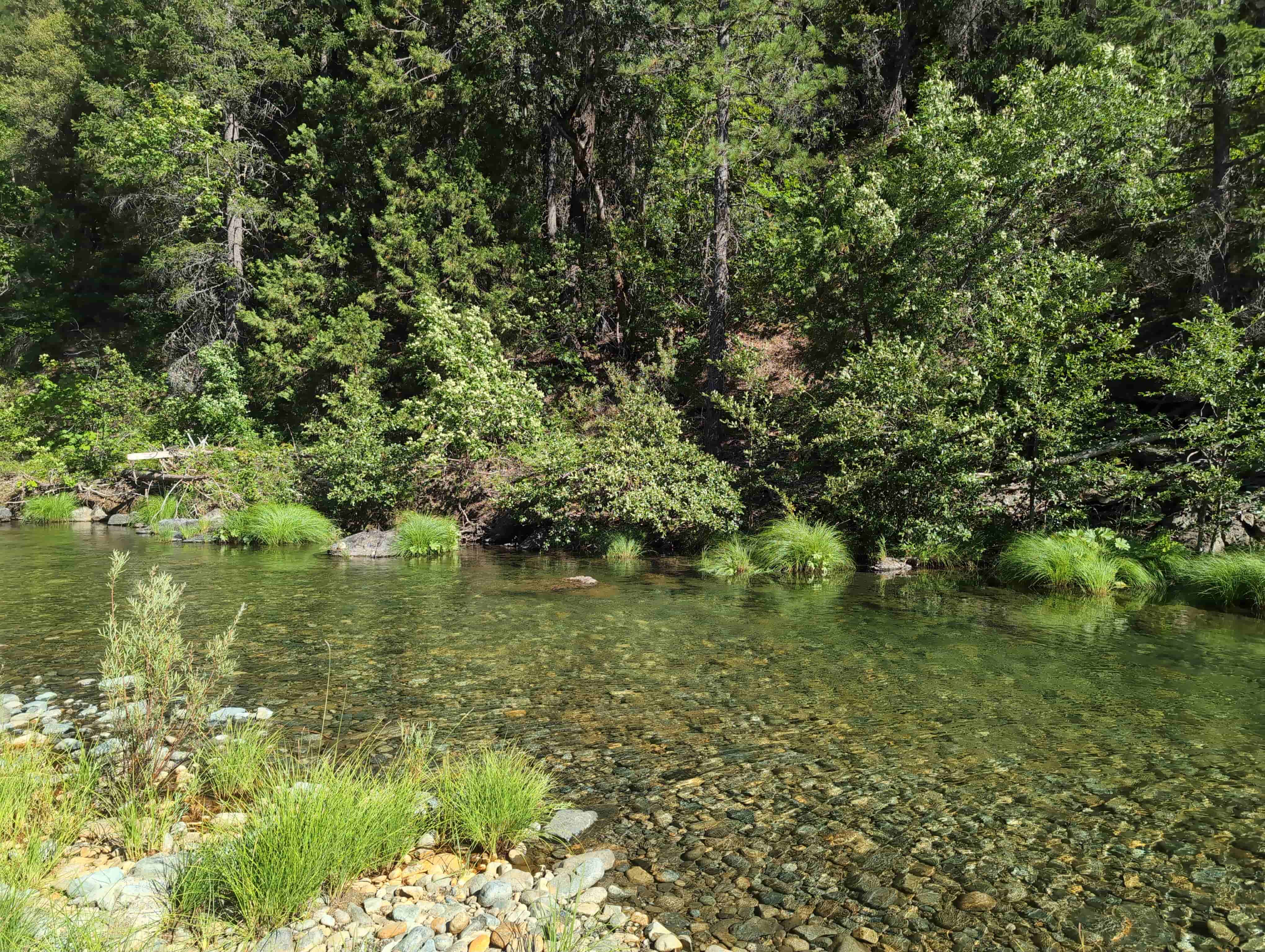
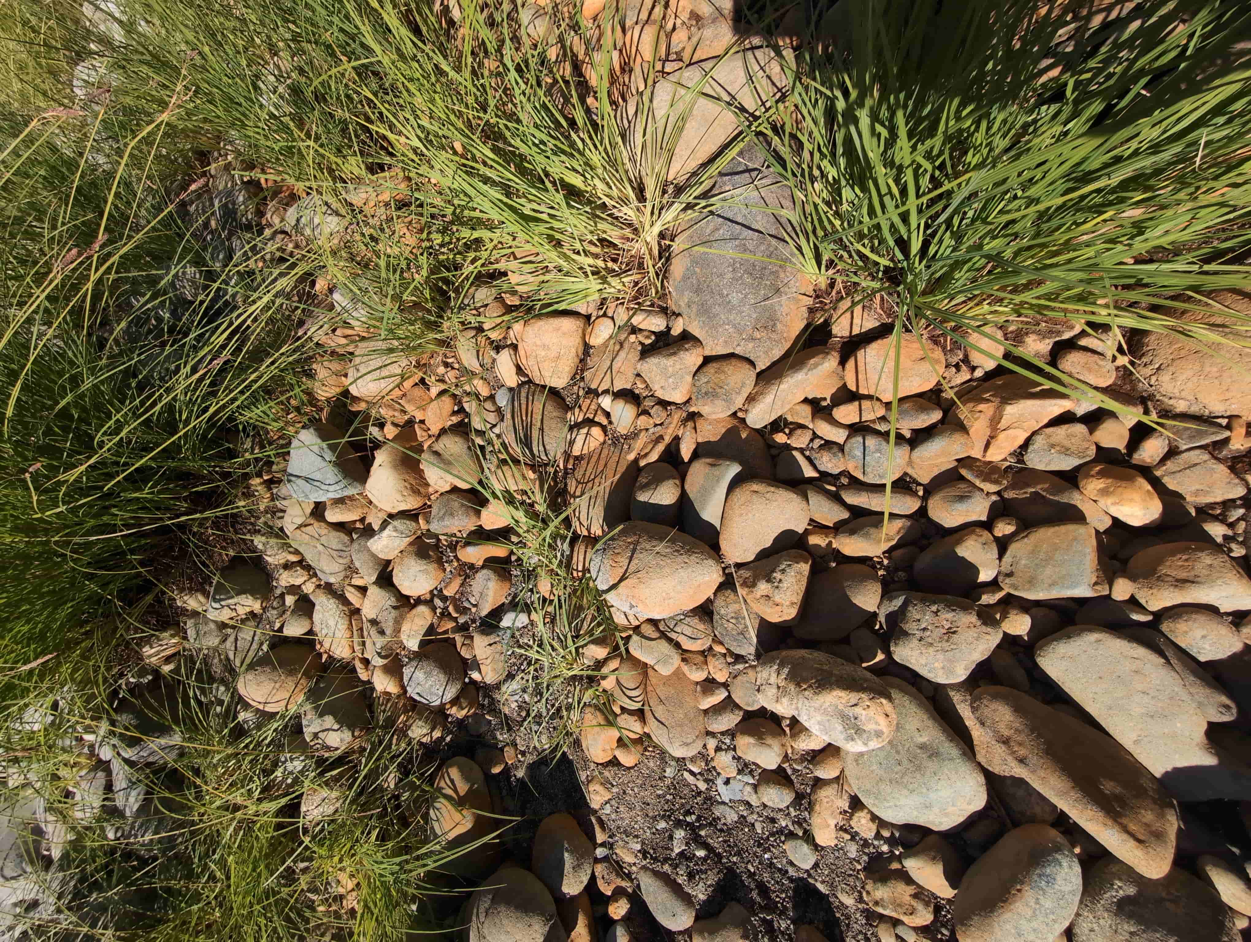
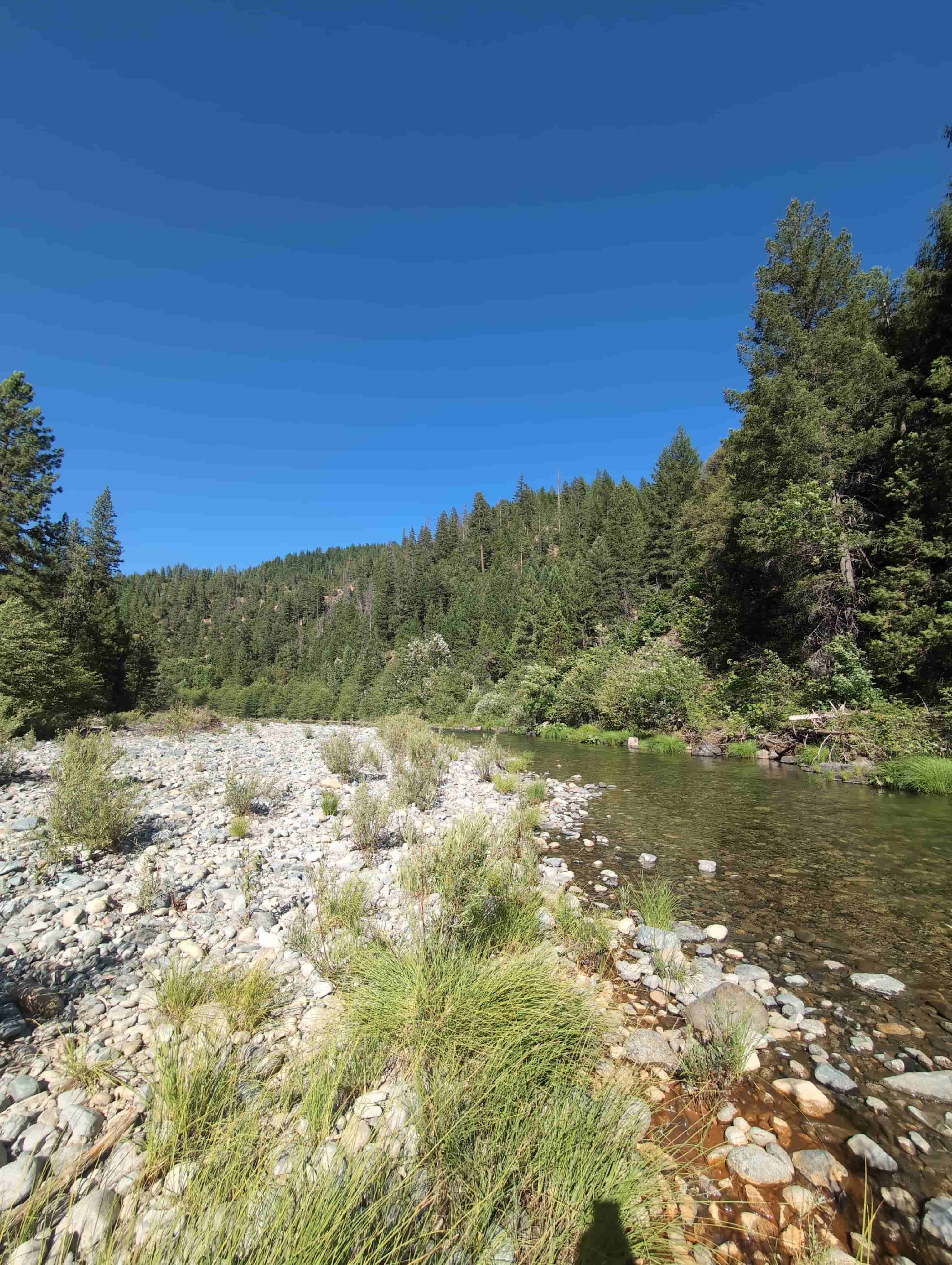
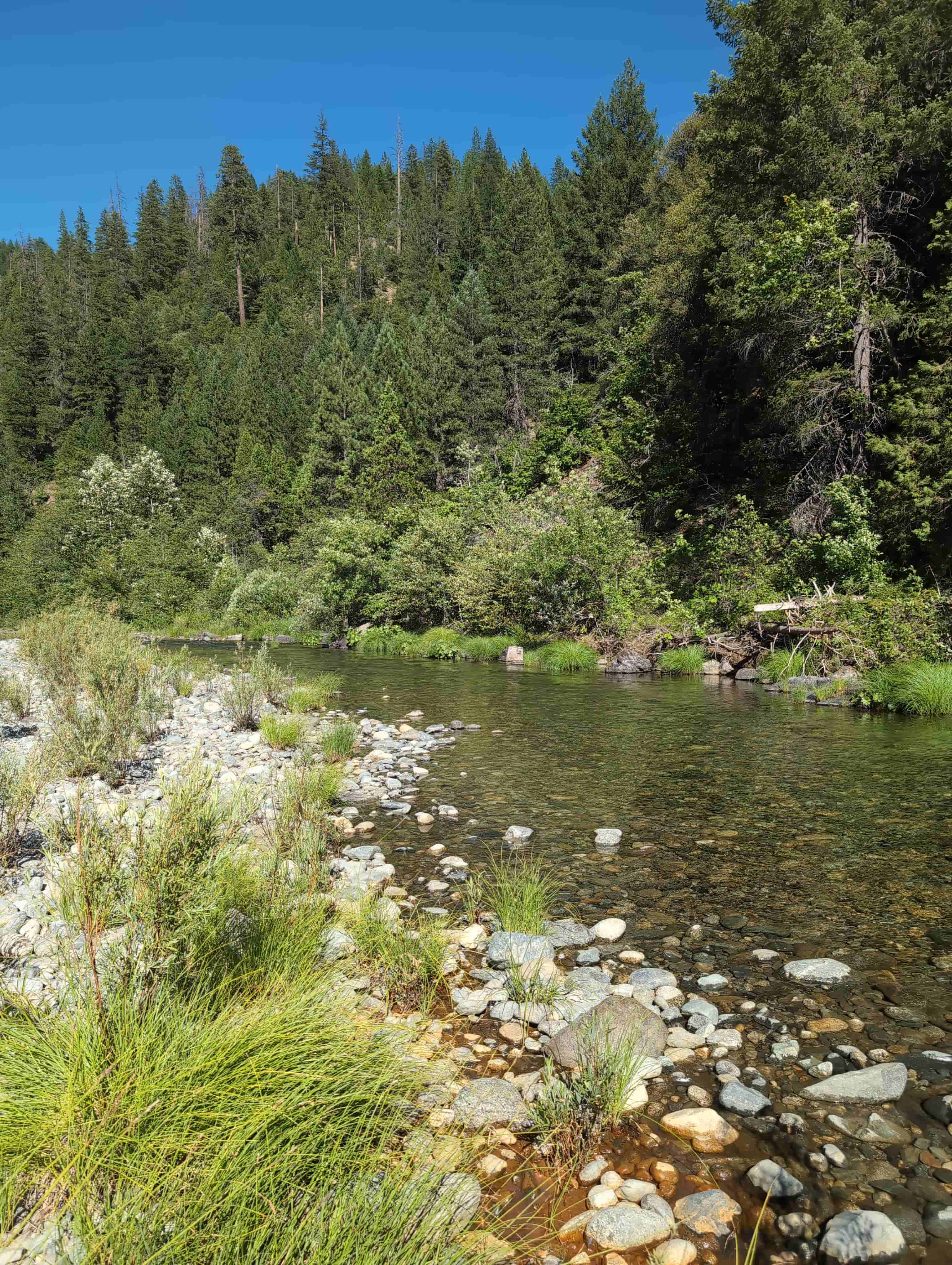
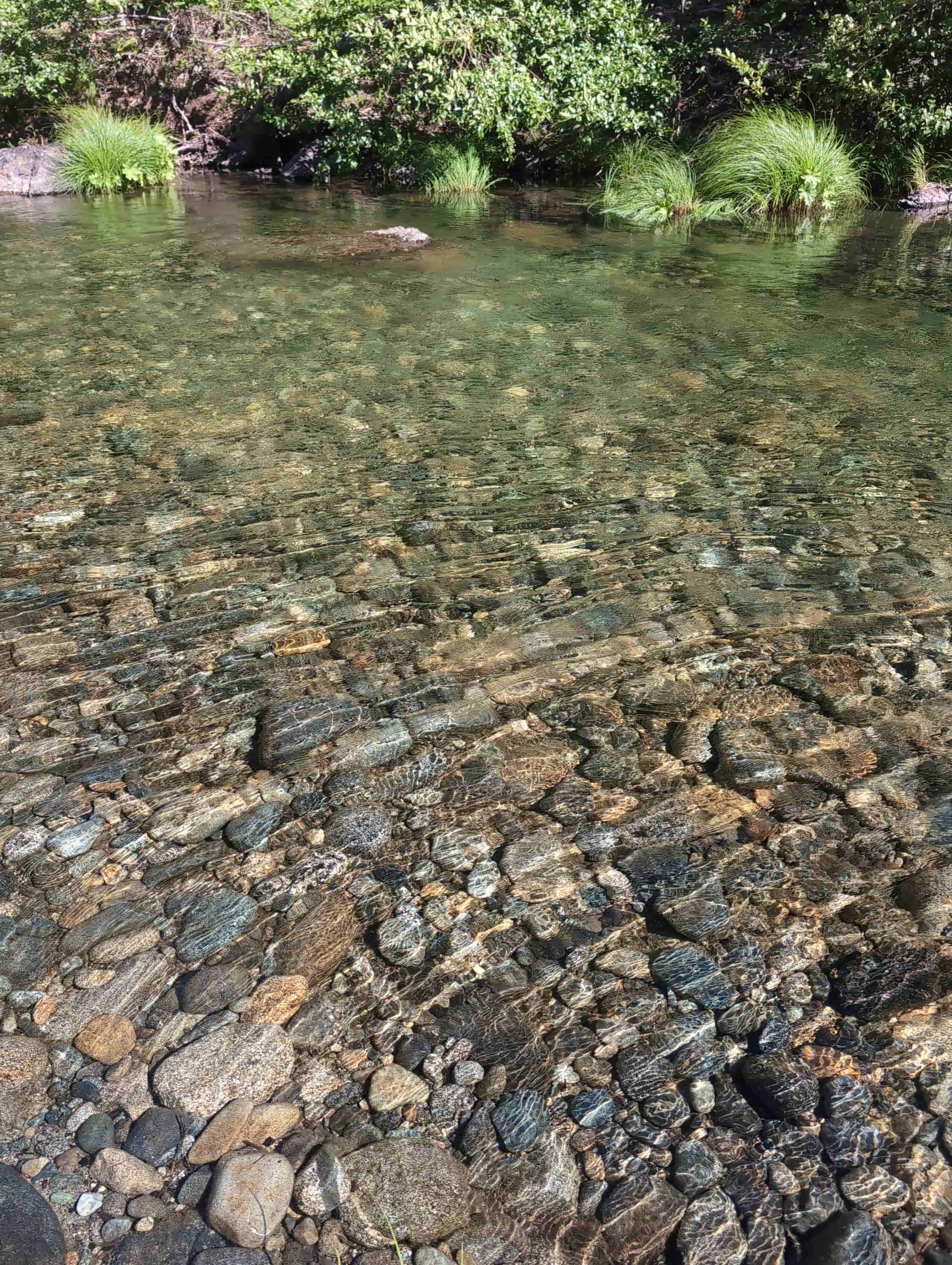
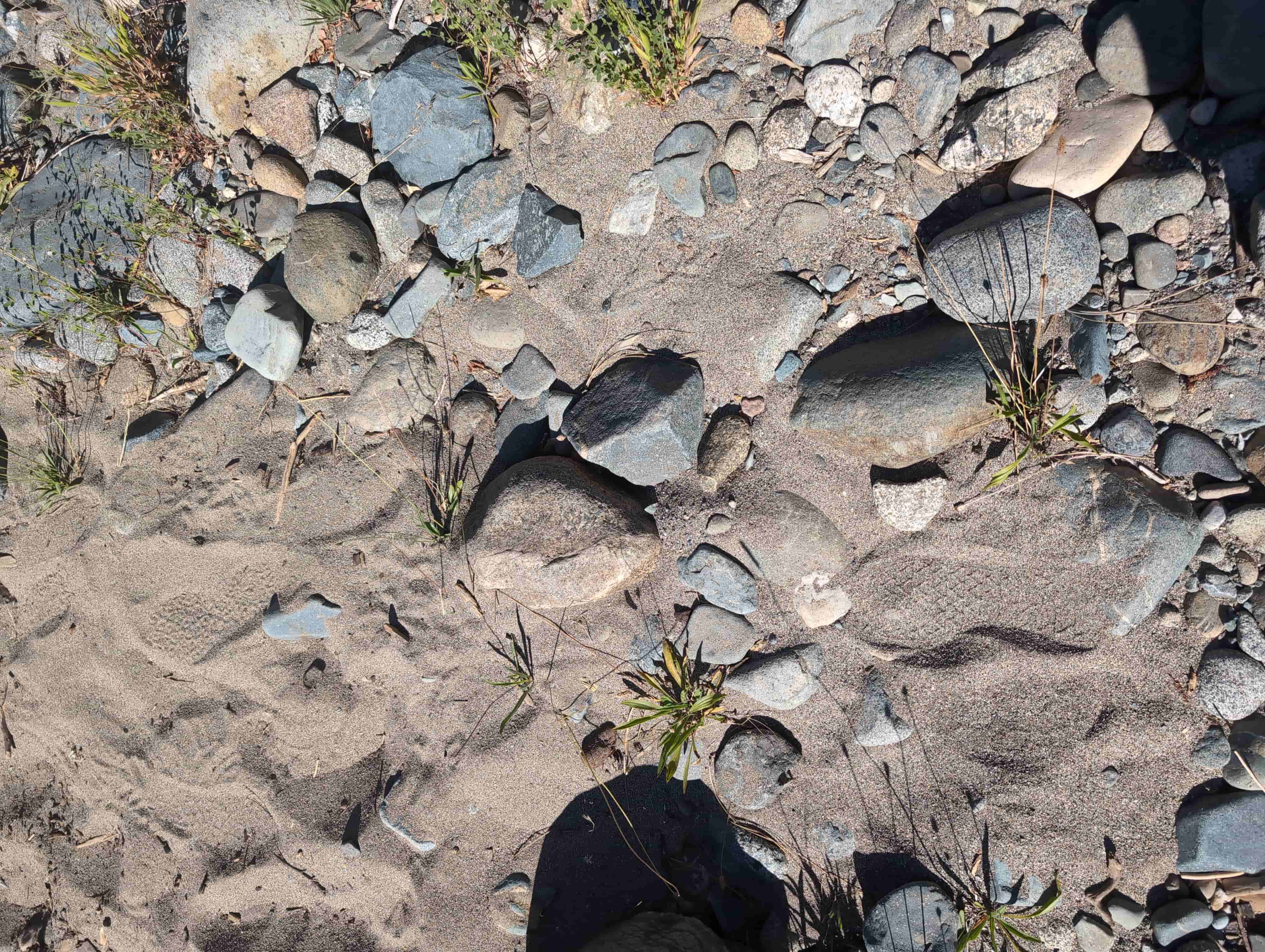
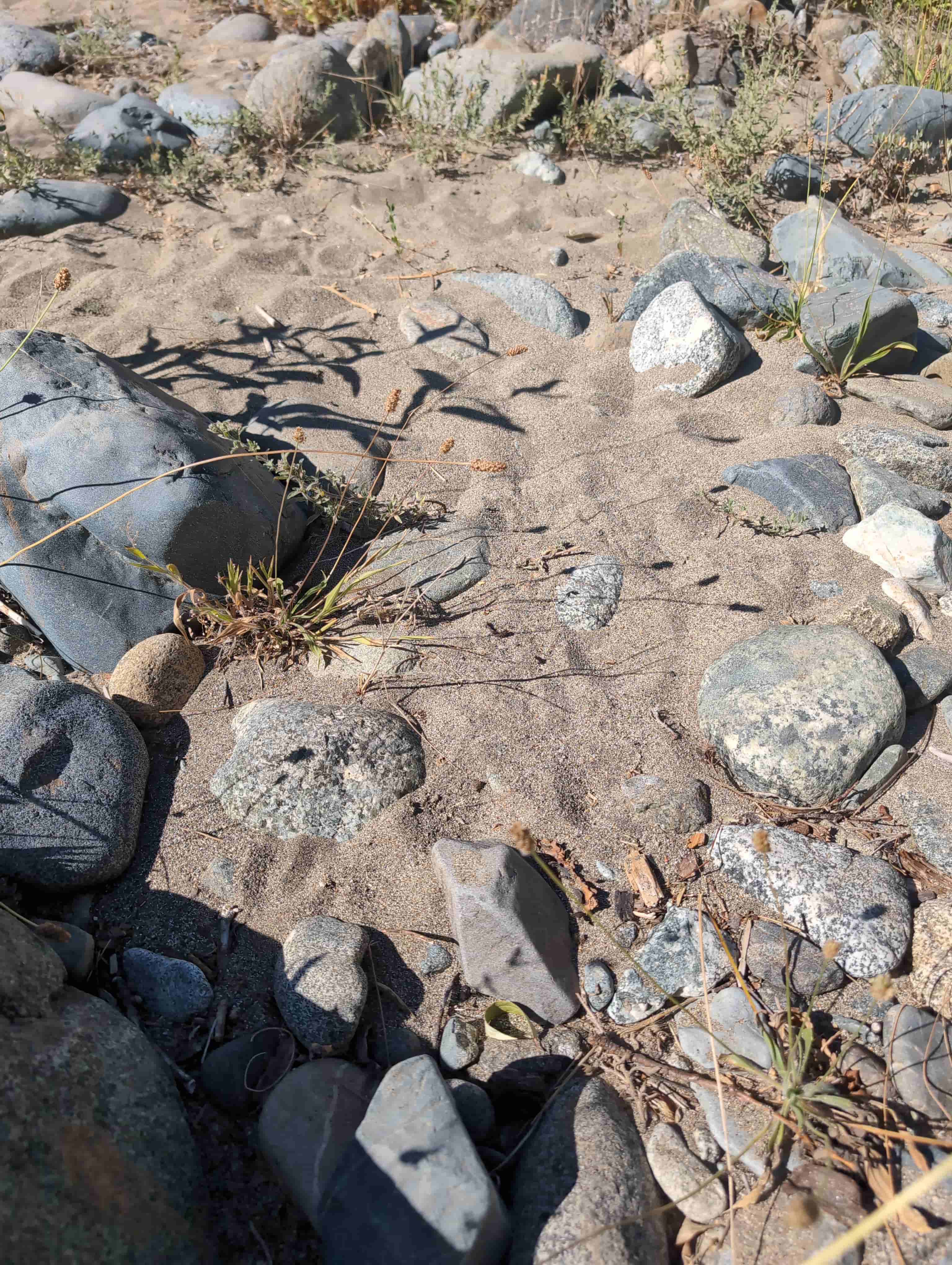
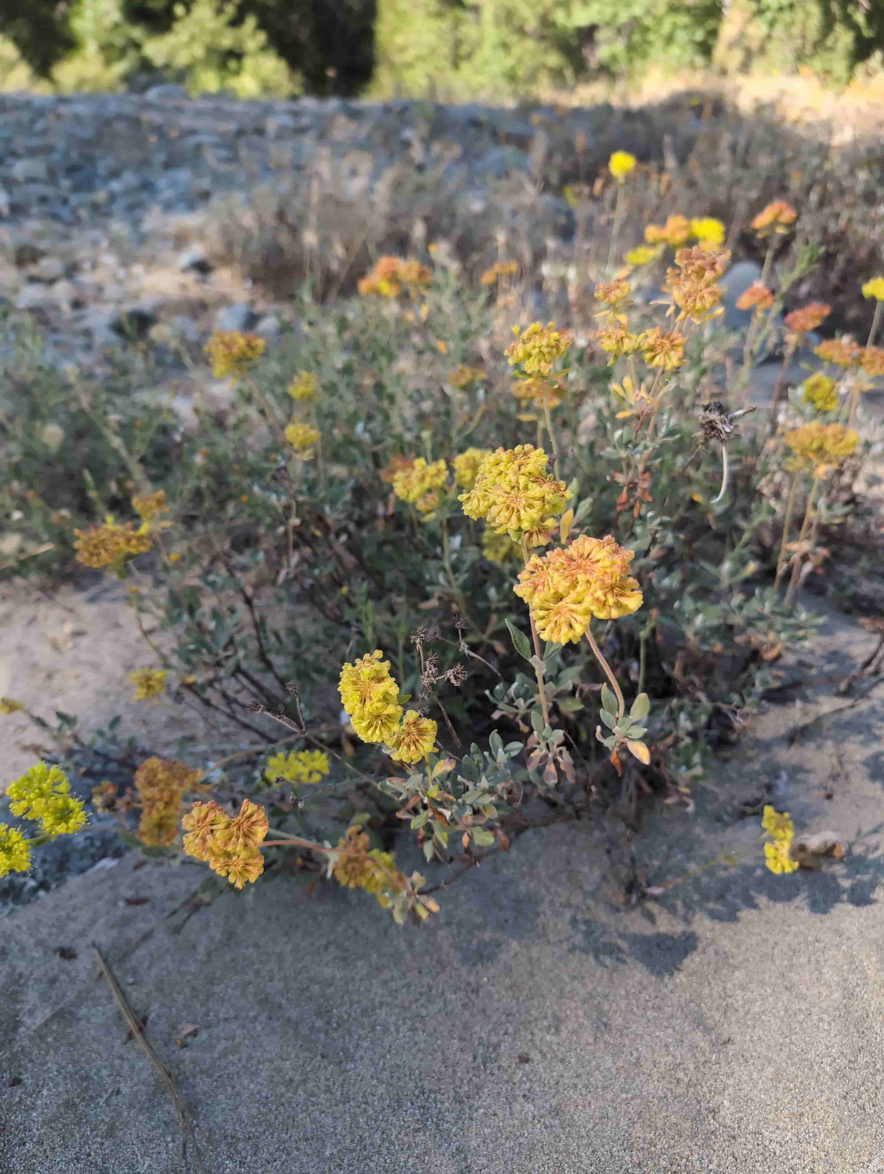
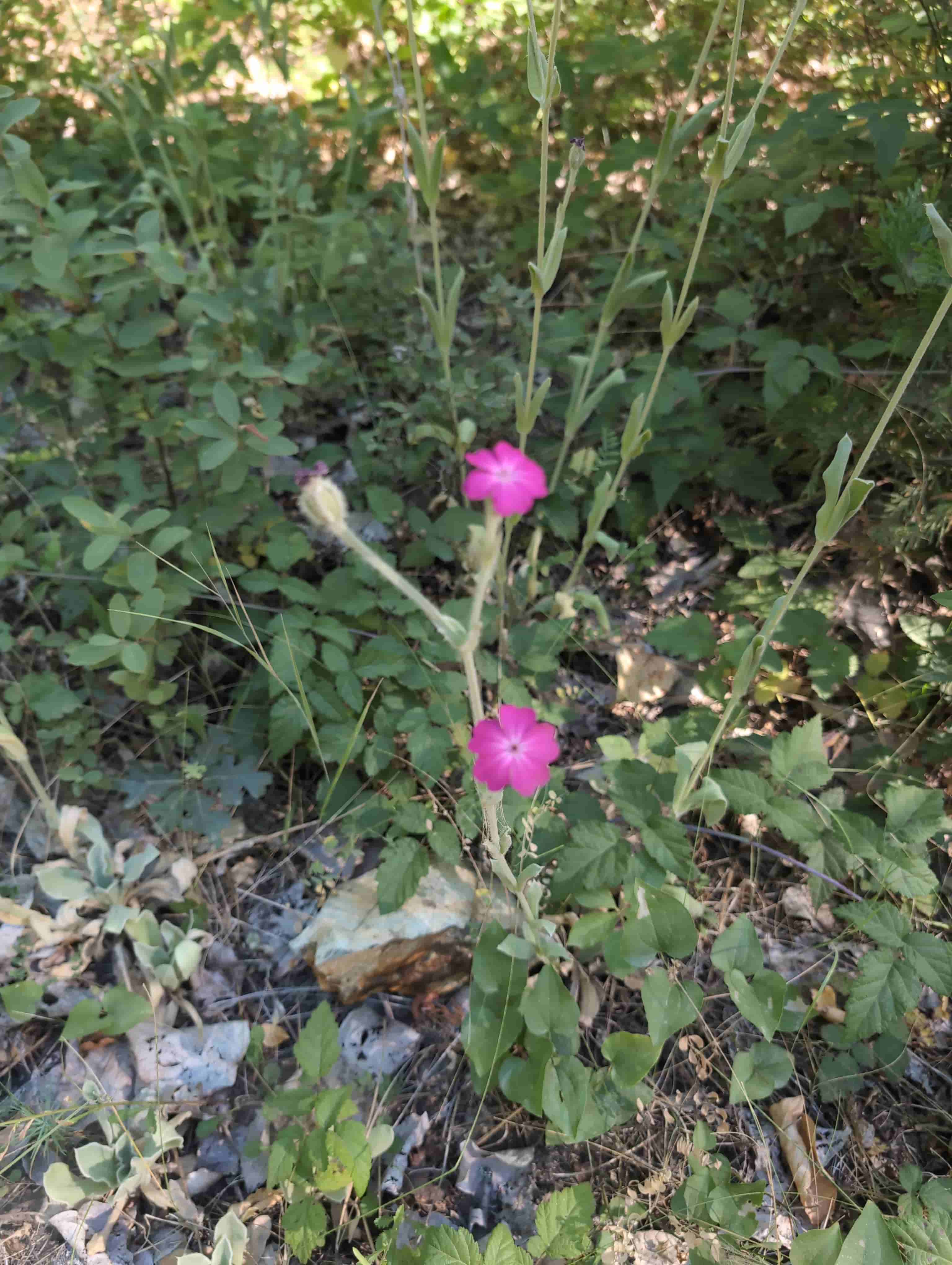
The following were taken on the claim and along the upper Trinity River at the Coffee Creek confluence during a field visit on July 7, 2026. They show the river, the gravel bars, the bedrock and boulders, and the surrounding Trinity Alps country. Click any photograph to open it full size.
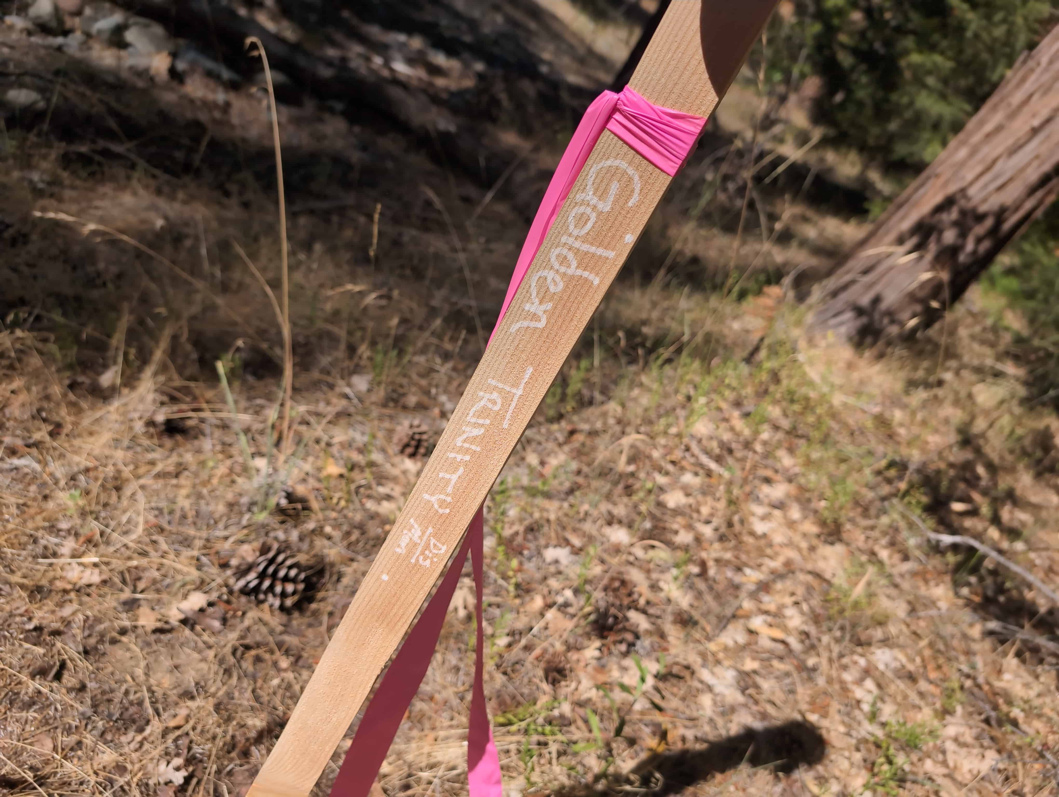
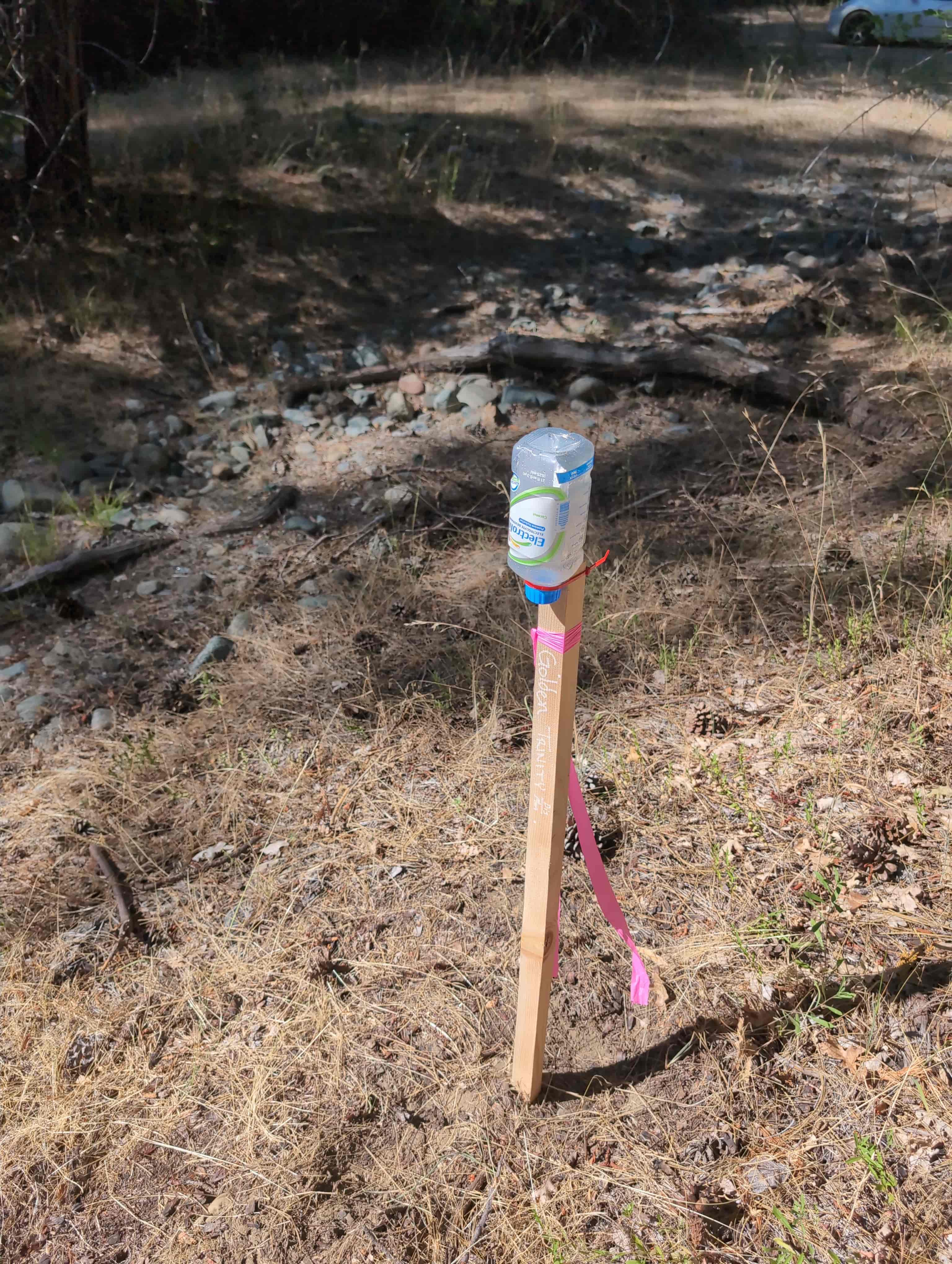
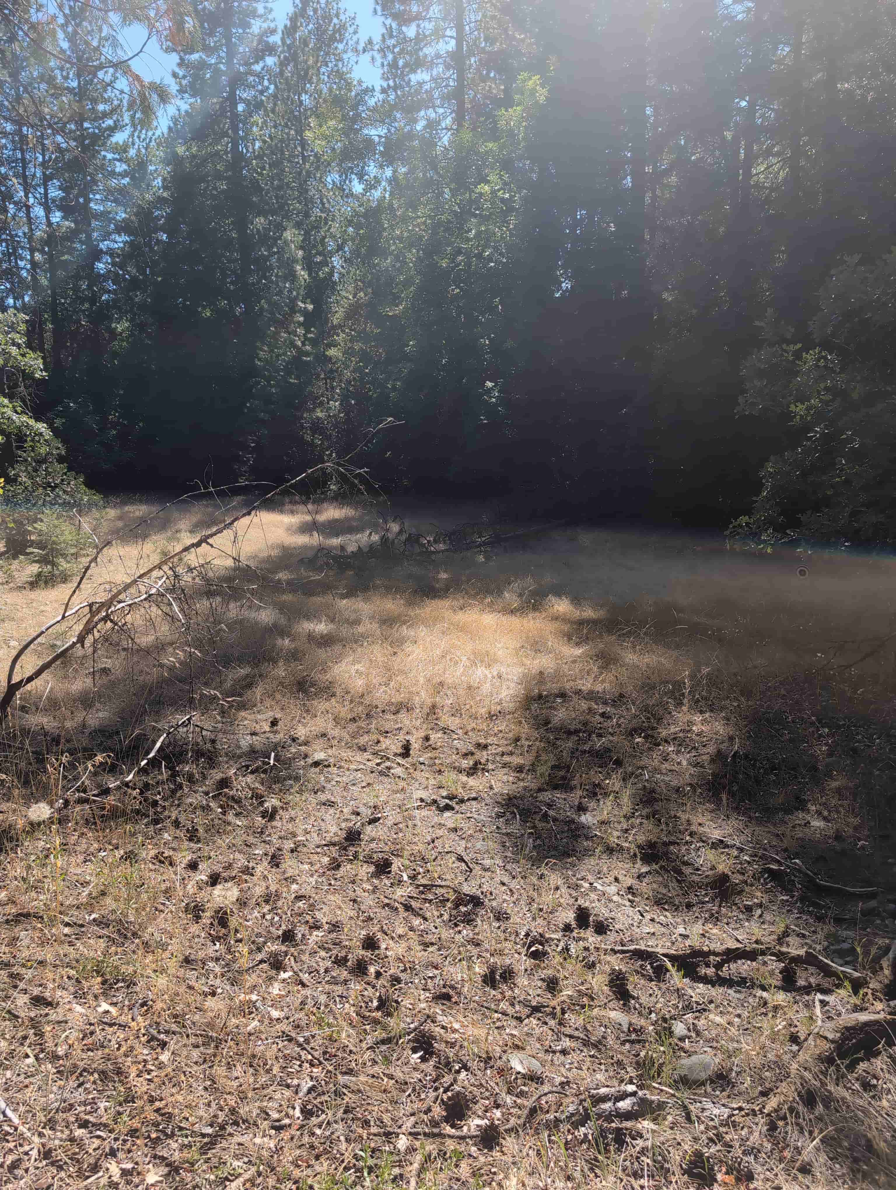
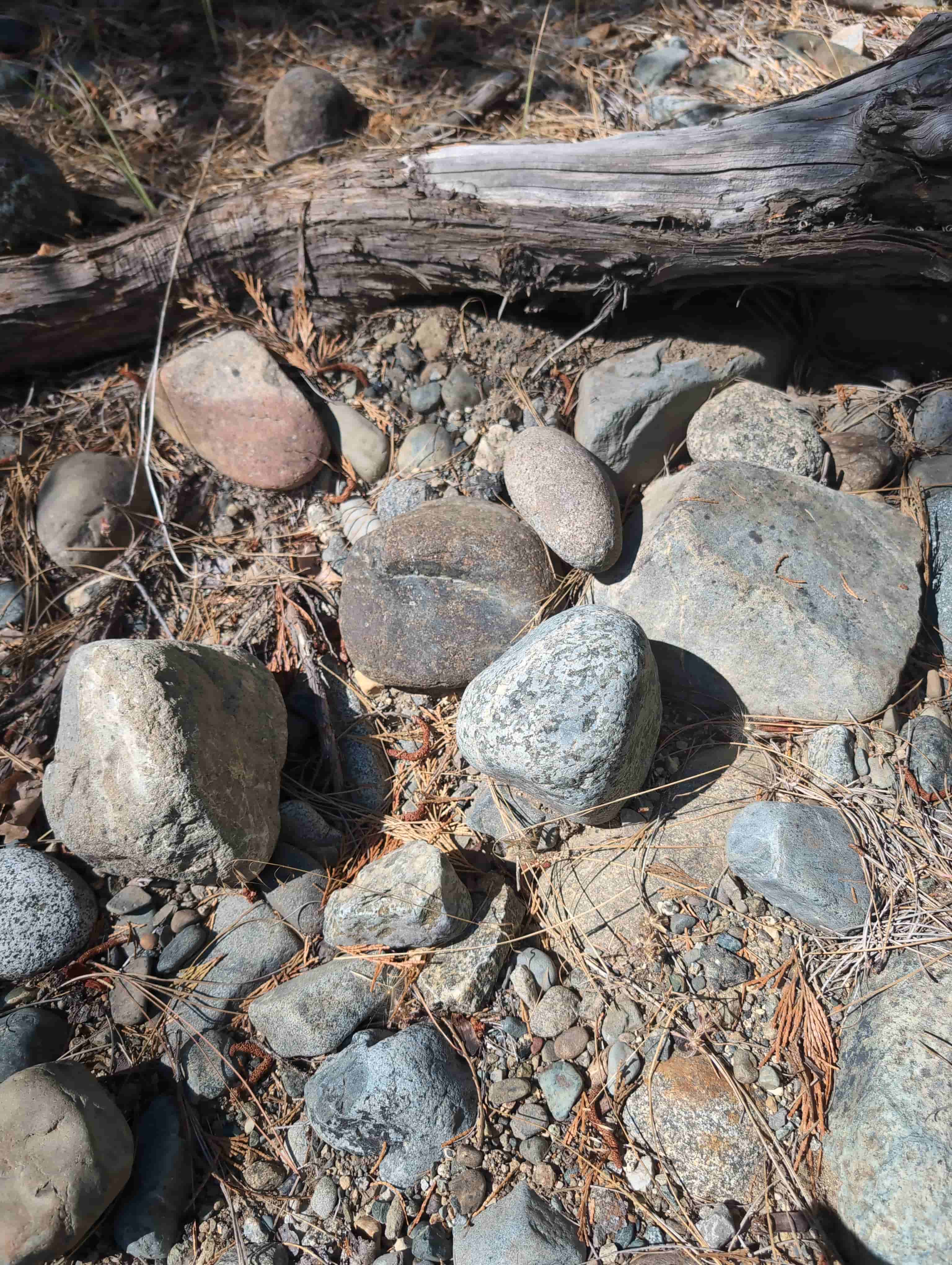
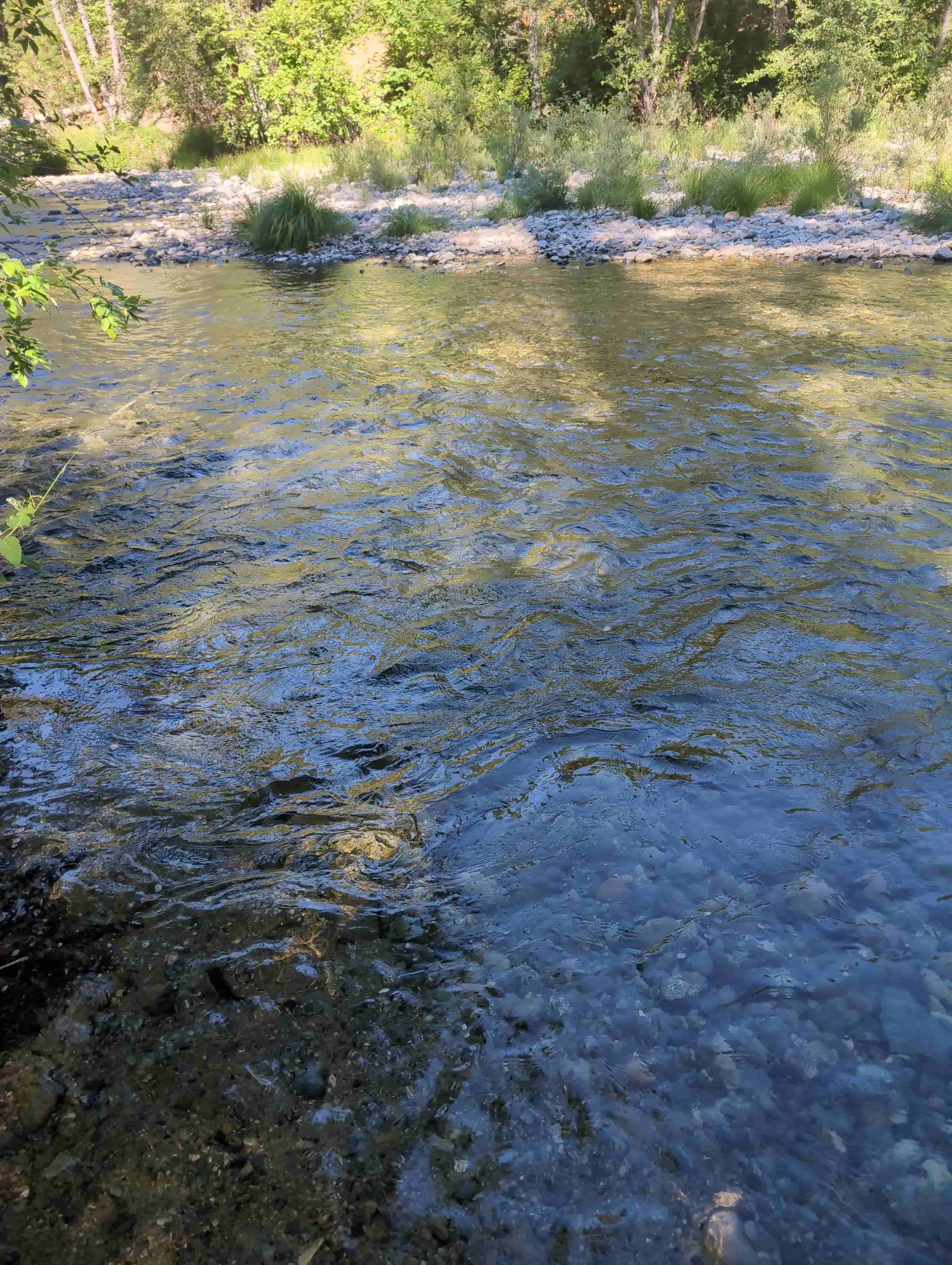
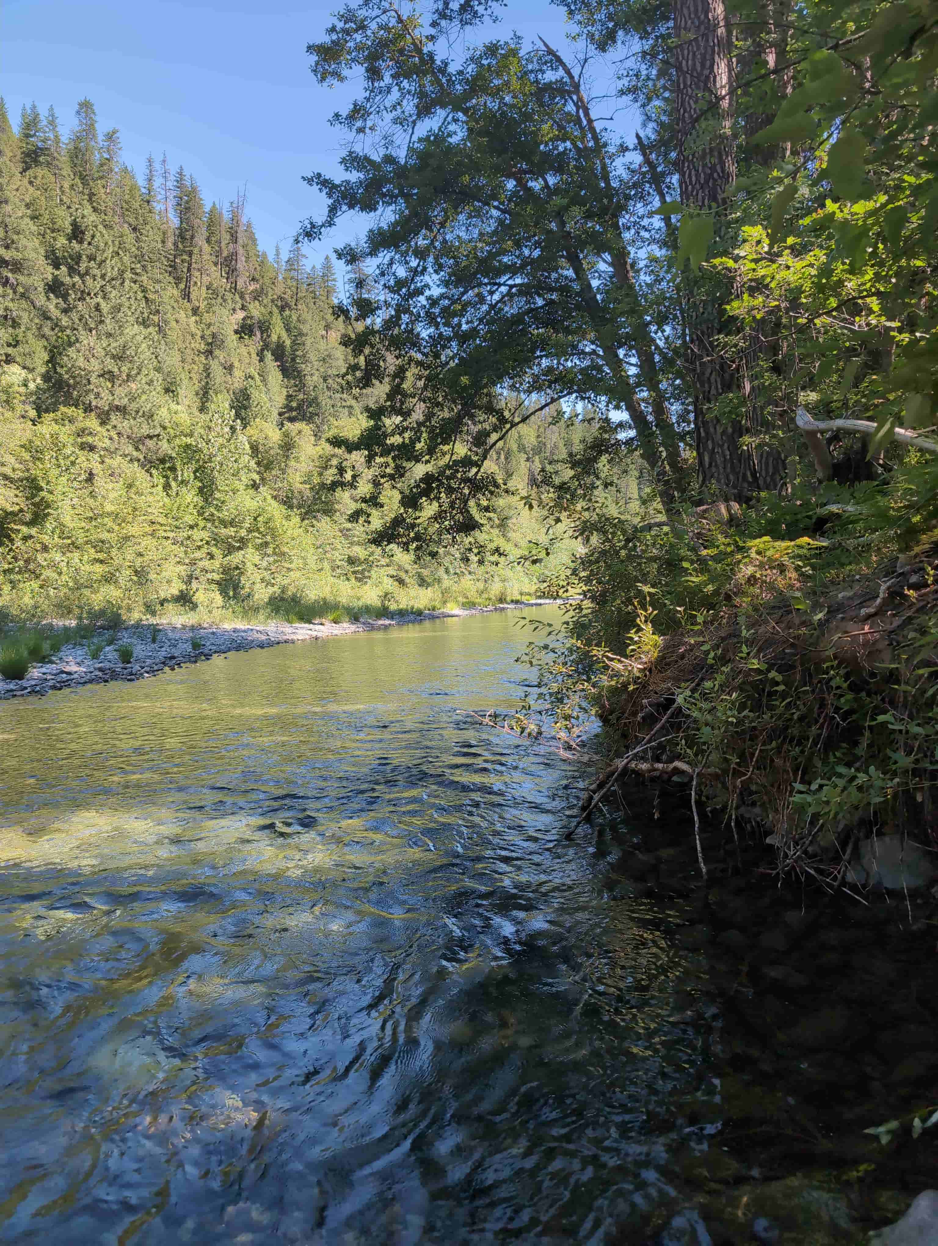
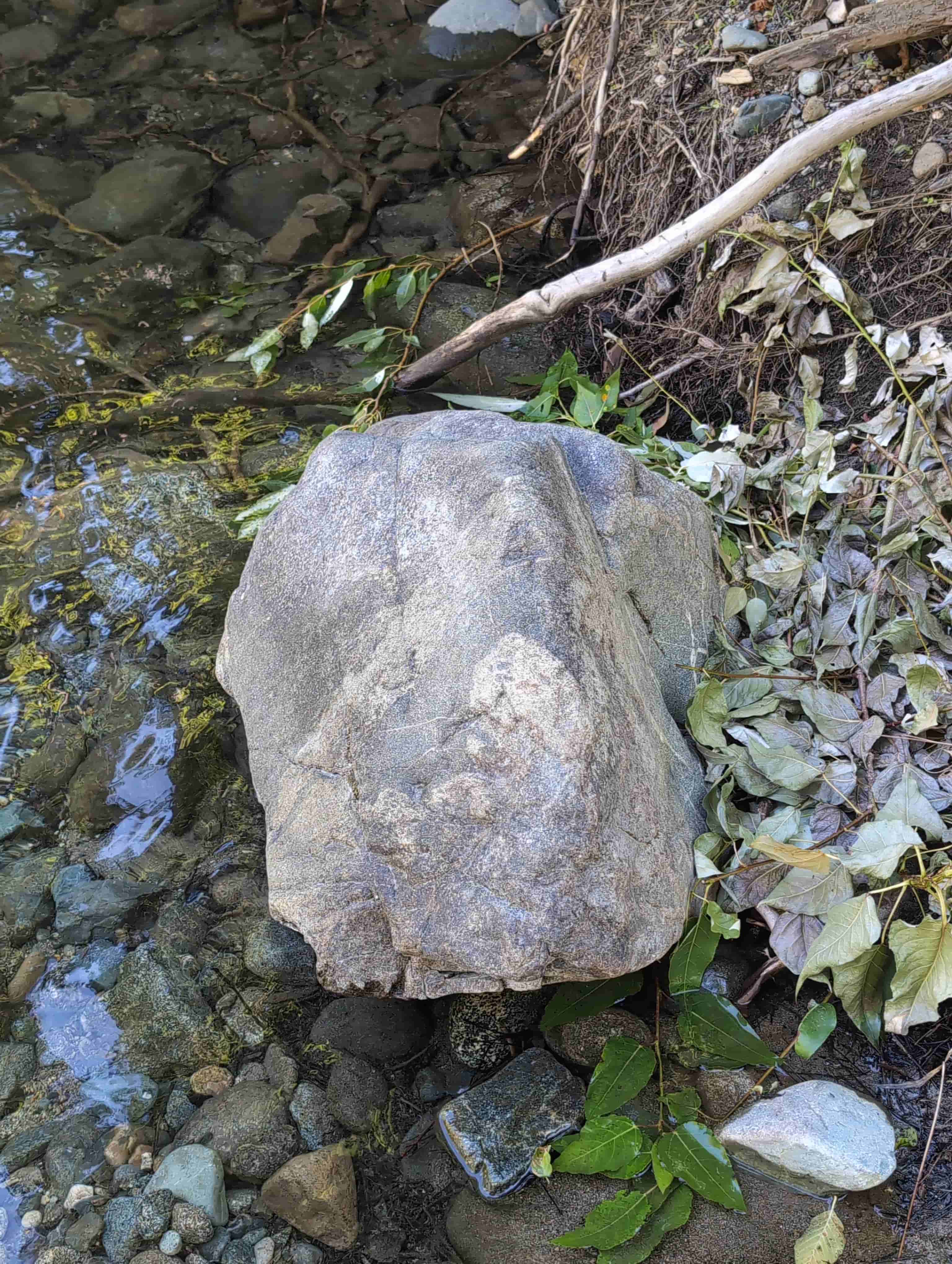
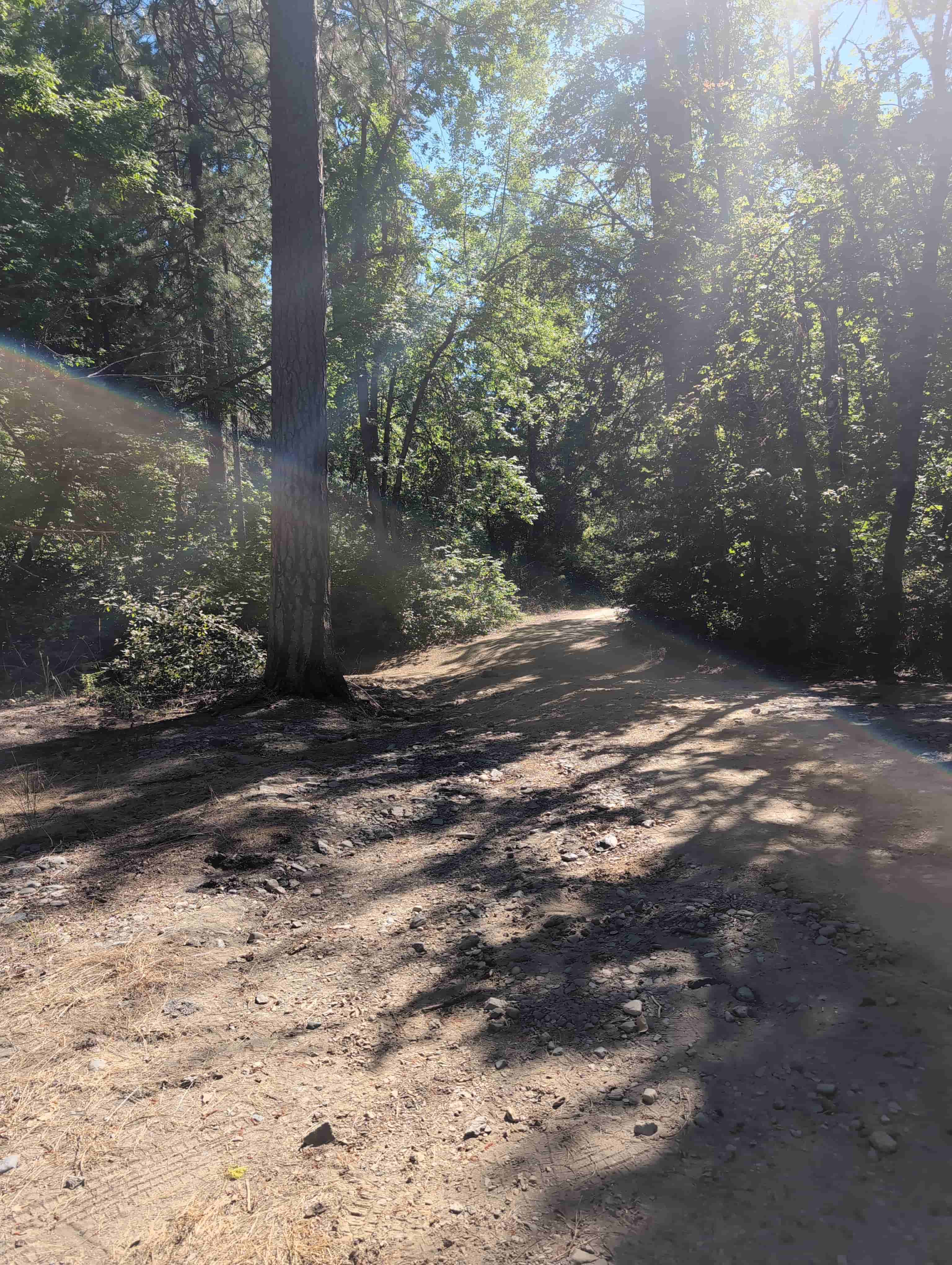


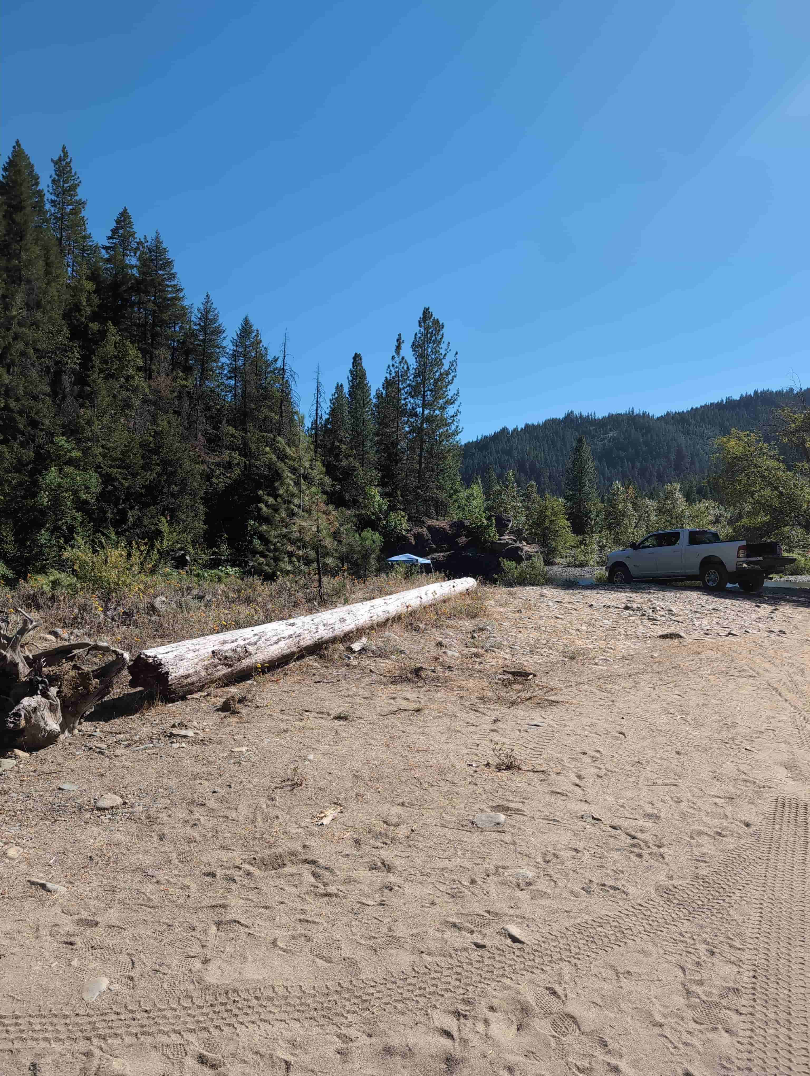
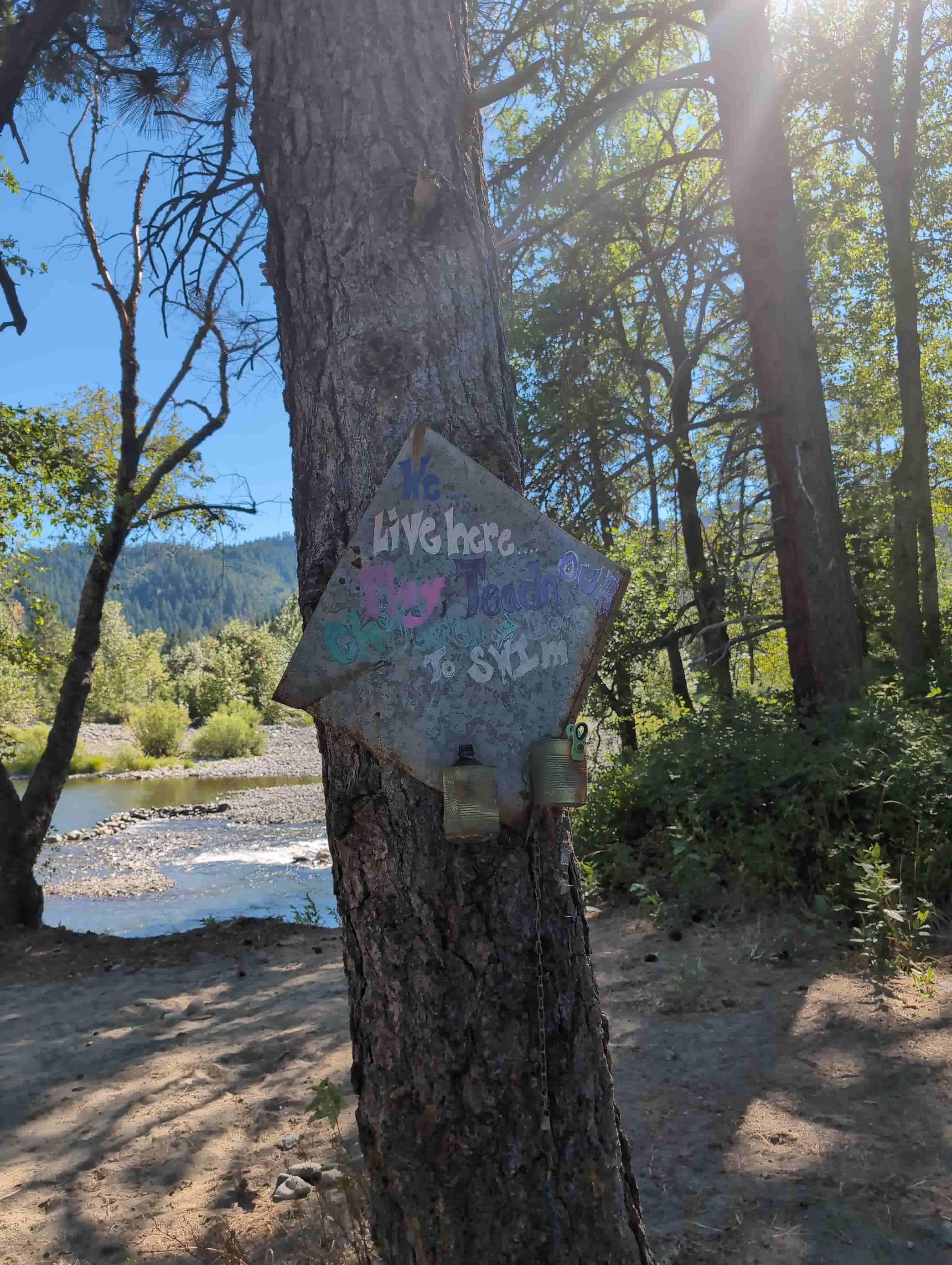
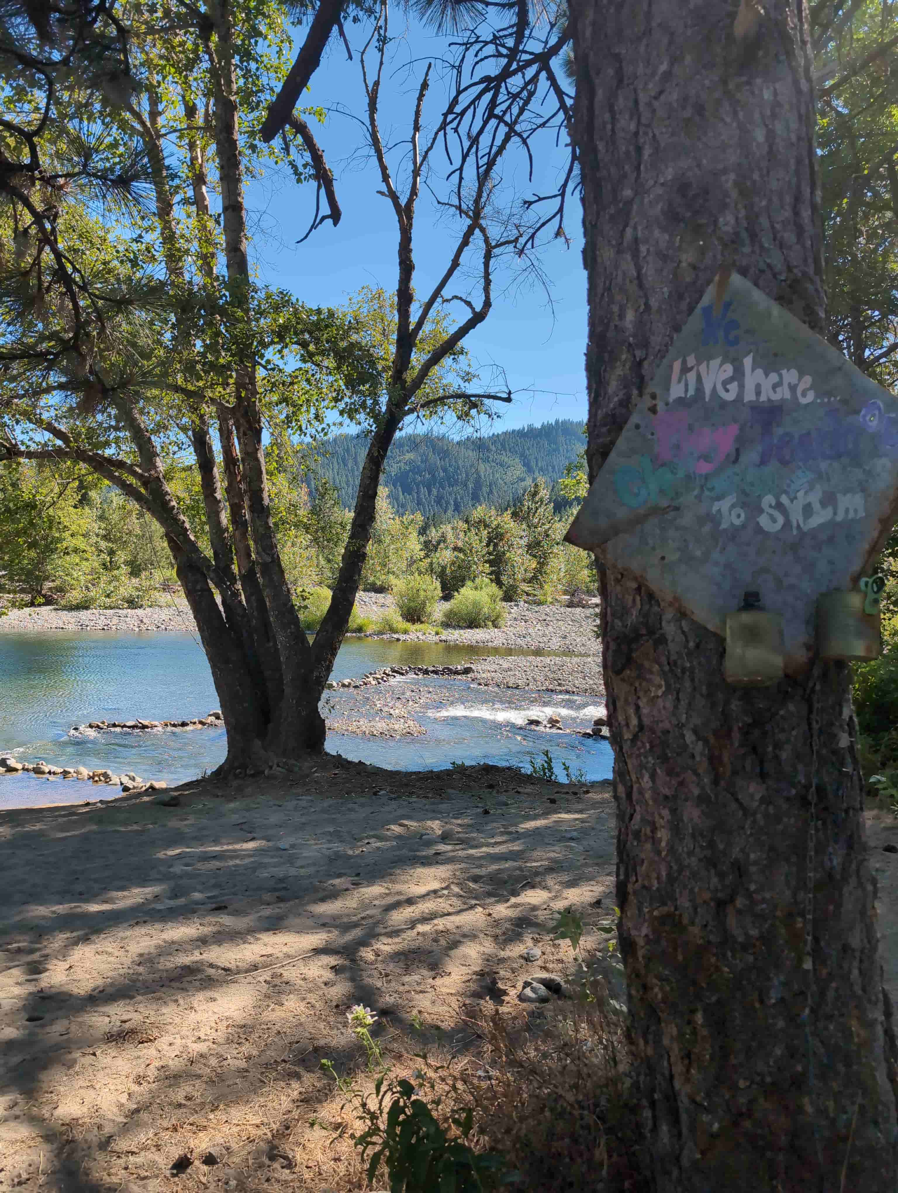
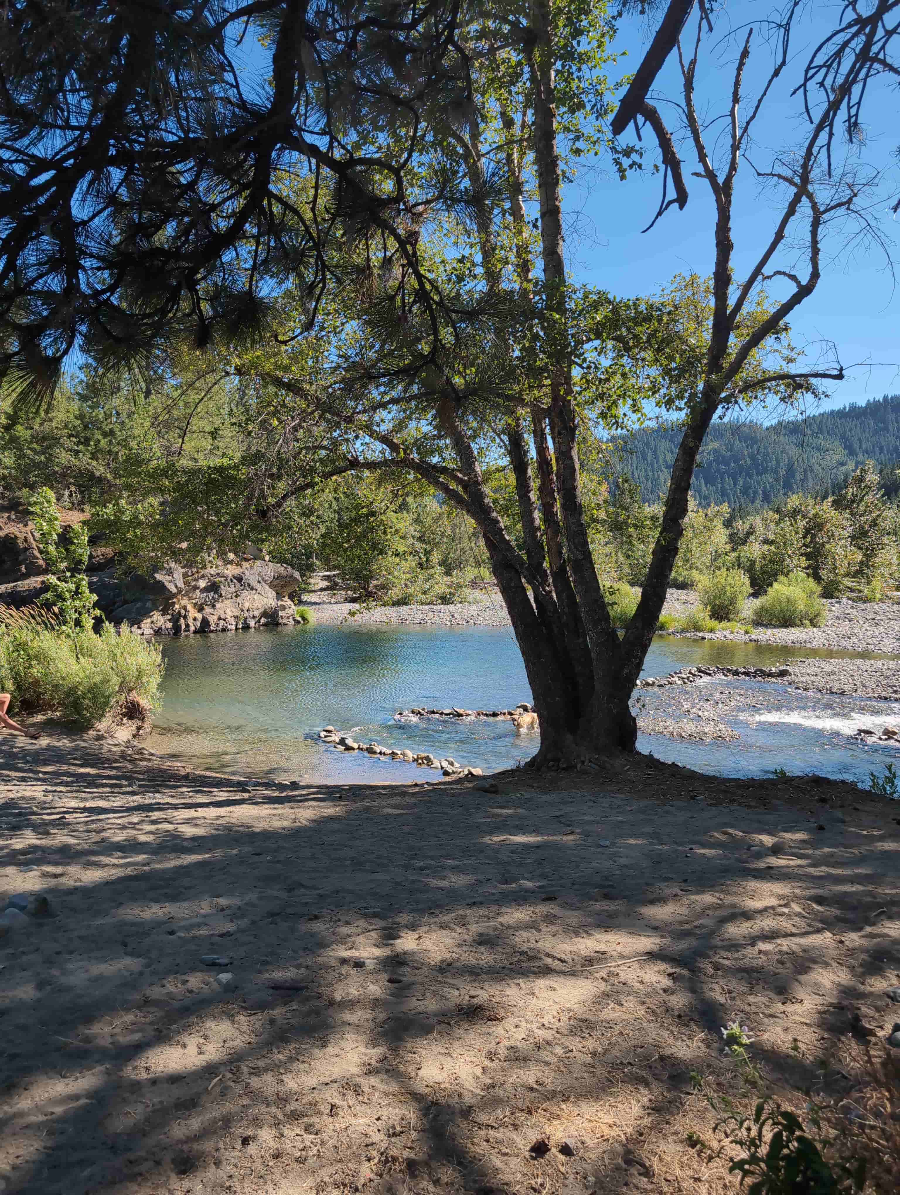
Claim boundaries taken directly from the recorded Google Earth KMZ (WGS 84).
| NE | 41.077890°, -122.695413° |
|---|---|
| NW | 41.077851°, -122.697794° |
| SE | 41.074241°, -122.695333° |
| SW | 41.074220°, -122.697744° |
A 20-acre unpatented placer block at the mouth of Coffee Creek on the upper Trinity River, above the full pool of Trinity Lake, staked at its discovery monument. Best PLSS estimate T37N R7W Section 8, Mount Diablo Meridian, Carrville 7.5′ quadrangle.
| Operation type | Placer — historic bucket-line dredge and creek placer ground |
|---|---|
| Development status | Past-producing reach; open for modern hand and small-equipment mining |
| Commodity type | Gold; Platinum-Group Metals; Silver |
| District production | Trinity River placers ~$35,000,000 (Clark 1970); Trinity County 2,036,300 oz Au 1880–1959 |
| District Name | Carrville / Coffee Creek / Trinity Center Districts, Trinity River, Trinity County |
|---|---|
| Reference Sites |
Pacific Gold Dredging Co. dredge — launched at Coffee Creek, 1916 Carrville Dredge — last dredge on the upper river, shipped to Brazil 1965 Gold Dollar Mine — Coffee Creek headwaters, Sec. 17 T37N R7W Trinity Bonanza King & Headlight — Carrville / Trinity Center lodes Morrison Gulch Placer — USGS #10141413 (historic, closed) |
| Type of Structure | Klamath Mountains accreted terranes intruded by the Shasta Bally batholith (~136 Ma) |
|---|---|
| Structure Description |
Igneous > Ultramafic > Trinity ophiolite — peridotite, gabbro, serpentinite (Ordovician) Igneous > Volcanic > Copley Greenstone (Devonian) Sedimentary > Bragdon Formation siltstone and shale (Mississippian) Metamorphic > Salmon Hornblende Schist, Abrams Mica Schist Igneous > Plutonic > Shasta Bally granodiorite / quartz diorite Ore control — gold-quartz veins in slate and greenstone near granitic contacts; alluvial concentration at a tributary confluence Placer materials — coarse gold, platinum, osmiridium; black sands with chromite and magnetite |
A mining claim gives the holder the right to mine on mineral-rich land that belongs to the federal government. Mining claims are a tangible asset and show proof of all interests in minerals in the area. They can be bought, sold or used as collateral, just like any other piece of real estate.
A mining claim can be sold, traded, leased, gifted, willed, used as collateral or transferred in part or in its entirety just like any other real property using a quitclaim deed which is a recordable conveyance. Questions about the transfer process can be answered by contacting us anytime. All fees and paperwork are current; the first annual BLM maintenance payment comes due in 2027.
$8,000
Cash Price
Make a one time payment and get new mineral rights transferred in your name quick and easy.
Buy Online NowHave questions? Concerns? Want to see the river in person? Make an offer on the Golden Trinity Claim.
After your purchase is complete you will be requested to fill out our new claim owner form with your name/address or add any additional claimants you want on the claim.
You’ll get digital copies of your COL and Map of Location delivered via email in PDF format, as well as a Google Earth™ KMZ map file with your claim’s discovery point, corners and points of interest.
We handle all the filing and transfer services on your behalf. Expect to get official stamped/recorded copies of your paperwork mailed to you from the Trinity County Recorder’s Office and the California Bureau of Land Management officiating you as the new claimant within 45 days of purchase. Then officially enjoy mining gold on your own river!
The Golden Trinity is one 20-acre unpatented placer claim at the mouth of Coffee Creek on the upper Trinity River, in the historic Carrville / Coffee Creek mining country of Trinity County, California. The Trinity has been producing gold since 1848, and this reach was dredged into the 1960s.
Primary and secondary commodities on this claim include:
Gold is the commodity the dredges came for, and it arrives coarse off the Klamath lode belt. Platinum and osmiridium are the Trinity’s signature bonus, recovered with the gold in the black sands. Silver rides in the district’s lode ores alongside copper, lead and zinc, and the ultramafic rocks upstream shed chromite into every concentrate.
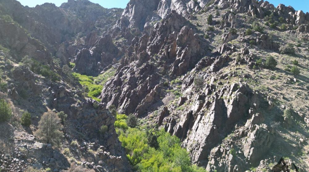
The Golden Trinity lies at a tributary confluence on the upper Trinity River in the Klamath Mountains, where ancient ocean-floor rocks meet granite, in a district that has been producing since 1848. The claim area is characterized by:
Twenty acres of free-flowing river at a confluence the dredges targeted first. The ground suits a weekend panner with a sluice and a detector just as well as a small operator planning a highbanking season — and every spring the river restocks it.
Gold was found on a Trinity River bar in July 1848 by Major Pierson B. Reading, and the rush built Weaverville, Douglas City, Lewiston, Junction City and the upper-river camps at Trinity Center and Carrville. The county’s first dredge, the Kise Brothers’, launched in 1889, and by the 1920s bucket-line dredges lined the river from Coffee Creek to Lewiston. The La Grange hydraulic mine near Weaverville, one of the largest in California, moved over 100 million yards of gravel. The Brown Bear at Deadwood produced 400,000 to 500,000 ounces from its quartz veins.
The state credits the Trinity River placers with $35 million in gold, and Trinity County with more than two million ounces between 1880 and 1959 — most of it placer. The Trinity Center dredge fields went under the lake in the 1960s. The reach above the lake did not.
The Golden Trinity sits on that surviving upper river, at the mouth of a creek the old-timers mined for years, in the heart of California’s Klamath gold country.
Satellite view of the claim area. Click the pin for a quick summary.
Boundaries show the Golden Trinity placer block at the mouth of Coffee Creek on the upper Trinity River, above Trinity Lake, with State Route 3 alongside.
Explore other active lode and placer claims.
Every claim currently for sale, sorted by price. Tap a name to open the full listing.
| Claim | Price | Commodity | County / State | Acreage |
|---|---|---|---|---|
| The Virginia Lynn | $1,000,000 | Silver, Gold, Copper +4 | Dolores County, Colorado | 87.64 |
| The Sedona Legend & Sunrise Claims | $71,980 | Gold | Yavapai County, Arizona | 80 |
| Mountain View Tungsten Project | $65,000 | Tungsten, Copper | Lyon County, Nevada | ~140 |
| Ophy I-V Claims | $41,250 | Gold, Silver, Copper | Boise County, Idaho | 79.35 |
| Sunny Side Up #1-2 | $21,500 | Gold, Silver | Southeast Fairbanks, Alaska | 80 |
| Boulder #2 & #3 | $15,000 | Gold, Silver | Boise County, Idaho | 41.32 |
| The Winna-Winner Claims | $10,000 | Gold, Silver, Iron +2 | Humboldt County, Nevada | 40 |
| Belcher Canyon | $9,997 | Gold | Nye County, Nevada | 20 |
| The Golden Trinity Claim you’re here | $8,000 | Gold, Platinum, Silver | Trinity County, California | 20 |
| Marigold #1 | $7,500 | Gold, Silver | Yavapai County, Arizona | 20 |
| Ayers Claim | $6,500 | Gold, Silver | Sierra County, California | 20 |
| The Eureka Comstock Placer | $5,000 | Gold, Copper, Silver | Washoe County, Nevada | 20 |
Prices and availability change as claims sell. Ask about any of these or see what has already sold.