 Placer
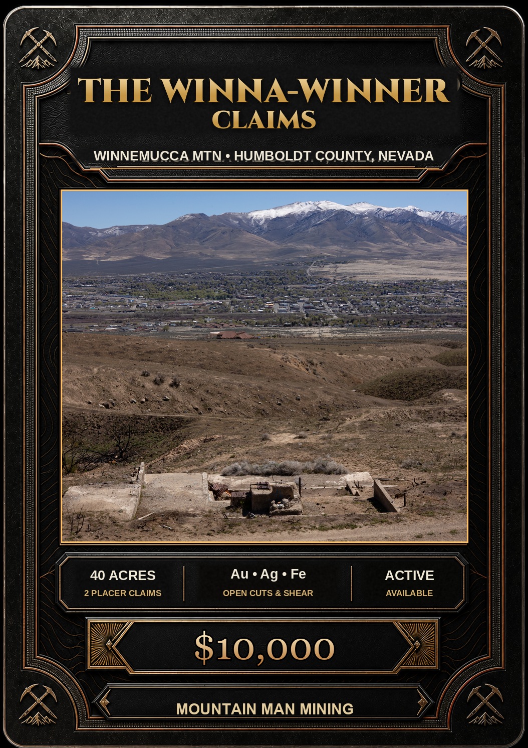
The Winna-Winner Claims
📍 Humboldt County, Nevada
- Au
- Ag
- Cu
$10,000
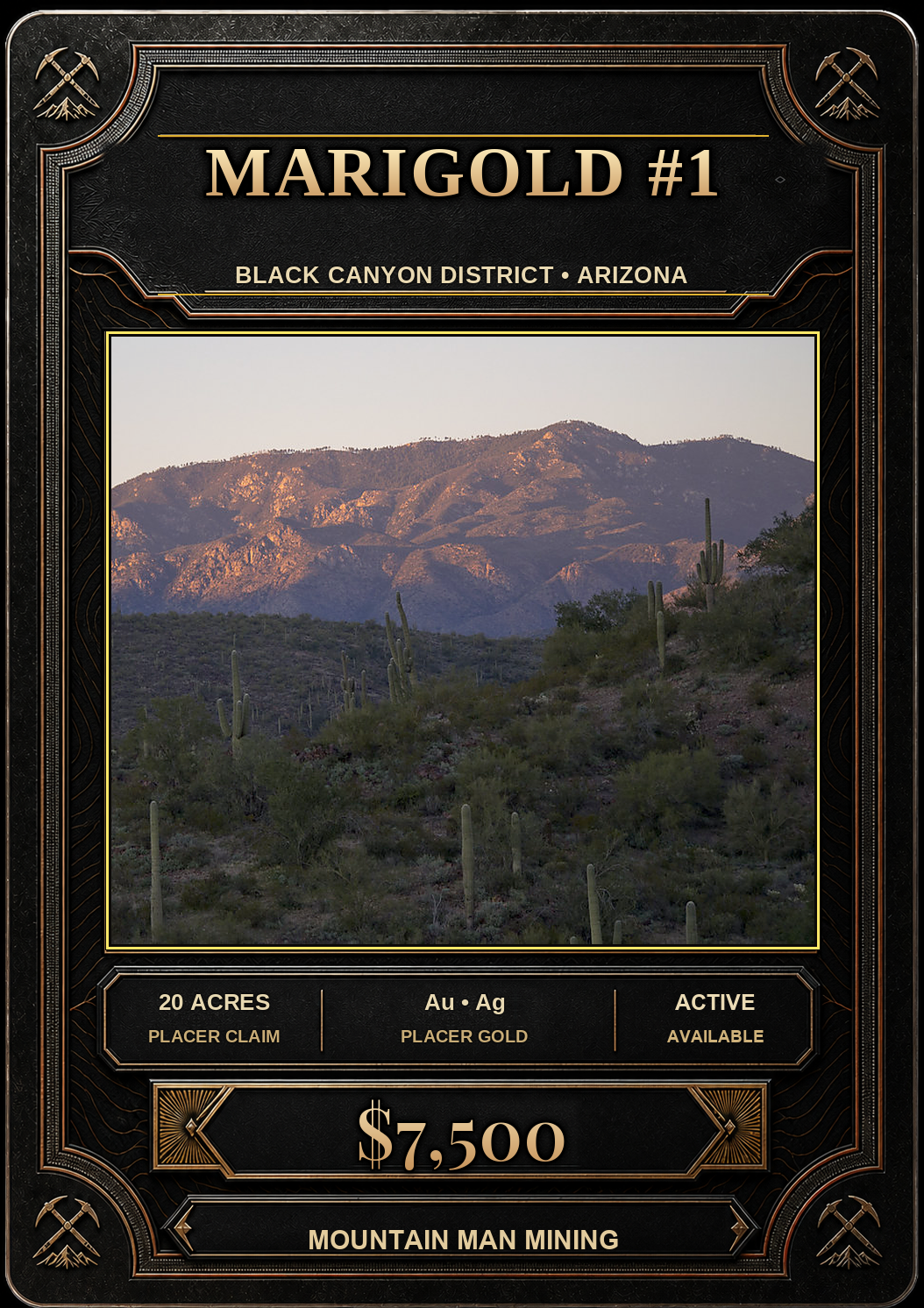
20 Acre Placer Mining Claim · Black Canyon District · Yavapai County, Arizona
$7,500
Available now! All BLM & county filing fees included. 2–3 week transfer timeline.
Last updated: September 21, 2026
Twenty Acres of Placer Gold Ground in the Busiest Corner of the Bradshaws
On the sun-soaked eastern flank of the Bradshaw Mountains, about three miles east-southeast of the ghost town of Cleator, lies the Marigold #1 — a full 20 acre unpatented placer claim in Arizona’s historic Black Canyon Mining District. This is ground with pedigree: the U.S. Geological Survey credits the district with roughly 46,700 ounces of recorded lode gold between 1904 and 1959, and the neighboring Peck District with another 15,550 ounces. The veins that produced that gold have been weathering into these hills for ages — and a placer claim is your right to go and collect what they’ve shed.
Placer gold is how this whole country got started. Cleator itself was founded in 1864 as the Turkey Creek placer camp — the very same year Prescott itself was founded. Placer mining never really stopped, either — as late as 1940 the Bureau of Mines was still recording placer gold from claims near Bumble Bee. The hardrock men followed the colors uphill: George Zika located the Golden Belt in 1873, the Silver Cord was discovered in 1877, and in 1875 E.G. Peck and his partners hit the legendary Peck Mine, which poured out $1 to $1.5 million in bonanza silver between 1875 and 1885 on ore assaying better than $13,000 a ton. To the south, the Tip Top turned out some $2.2 million in silver and gold between 1875 and 1883. Real mines, making real money, in the days of $20 gold.
And the old-timers didn’t have to go far. The Golden Turkey and Golden Belt — the district’s leading producers at the end of the 1930s — sit only about 1¼ miles west of the Marigold #1. When the Arizona Bureau of Mines visited the Golden Turkey in 1934, it found a 500-foot inclined shaft and some 2,000 feet of workings, with more than 4,000 tons of ore already run through the Golden Belt mill, and USGS records list 1935 average assays of 2.10 ounces of gold per ton. By 1939 the U.S. Bureau of Mines was calling the Golden Turkey the most important producer in the district, running about 21,500 tons of gold-silver-lead ore through its flotation mill that year as district output climbed to $306,145 — and in 1940 the Golden Turkey group put 43,544 tons through the mill. Glassy quartz, pyrite, galena and gold, in a flat vein cutting 1.7-billion-year-old metavolcanic rock — right next door.
And the story isn’t over — it’s being written right now, less than two miles away. The historic Silver Cord Mine, about 1¾ miles southwest of this claim, is the namesake of King Global Ventures’ (CSE: KING) Silver Cord Project, part of its larger Black Canyon Project — 213 contiguous claims, some 4,000 acres and 15 former mines, run from an office on Crown King Road in Cleator. In December 2025 the company reported that hole SC-25-004 cut 9.0 feet of 619.6 g/t silver (reported as 21.8 oz/t), including 1.5 feet of 1,390 g/t silver with 2.2 g/t gold. In May 2026 King Global announced further high-grade silver-polymetallic intersections confirming an eastern extension of the historic Silver Cord vein system, and it has since mobilized a 14,230-foot maiden drill program at its Iron Horse target in the same district. When a public company is spending drill dollars over the hill, you want to be holding ground in the neighborhood.
Placer gold doesn’t fall from the sky — it weathers out of lodes, and the Bradshaws have lodes to spare. The range is built on a roughly 1.7-billion-year-old Proterozoic basement of Yavapai schist and metavolcanics (the Spud Mountain Volcanics), intruded by the Badger Spring Granodiorite and Crazy Basin Quartz Monzonite, sheared along the great Shylock fault zone, and later cut by Cretaceous–Tertiary rhyolite porphyry dikes. Each event brought metal with it:
Weathering and erosion break those veins down and work the heavy gold into the gravels, gullies and bench ground below. Bring the drywasher, the detector and a good pan.
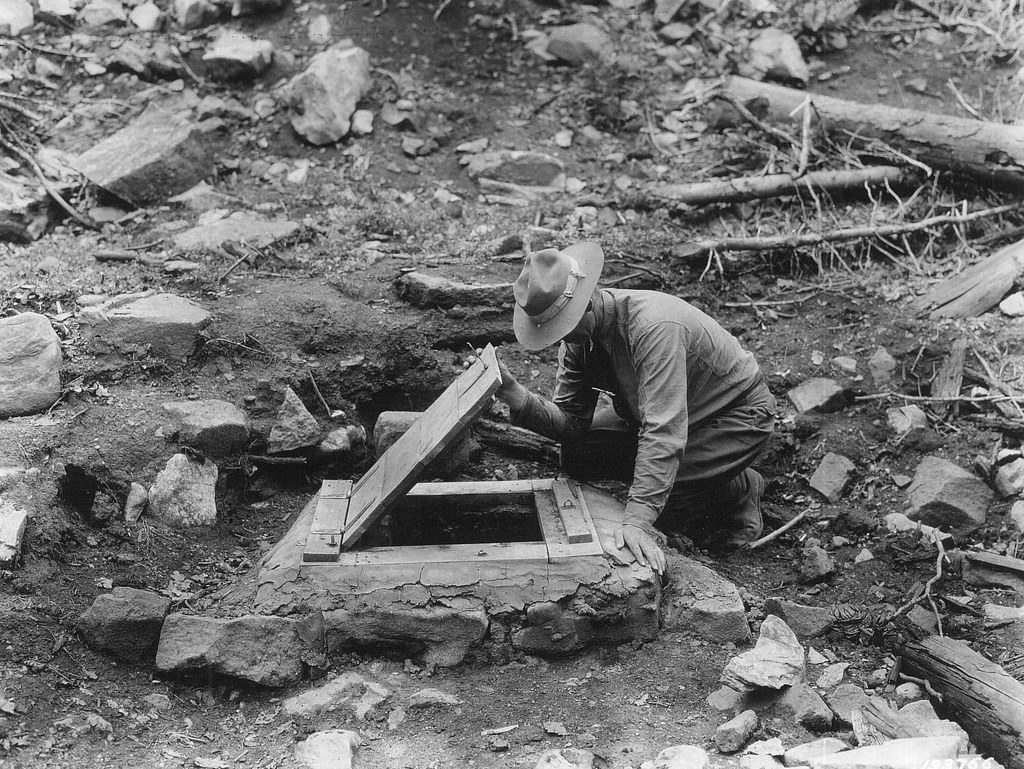
This is some of the most storied backcountry in Arizona. The old camp of Cordes lies about 2½ miles to the north-northeast, and Cleator — renamed in 1925 for James P. Cleator — still pours cold beer at the Cleator Bar & Yacht Club, three miles up the road. In November 1902 Frank Murphy’s Bradshaw Mountain Railway — “Murphy’s Impossible Railroad” — reached Turkey Creek, and by May 1904 it had climbed a dozen switchbacks to Crown King. Up the hill, the DeSoto Mine sent its 3.75% copper ore down a Bleichert aerial tramway nearly three-quarters of a mile long to meet the trains at Middleton.
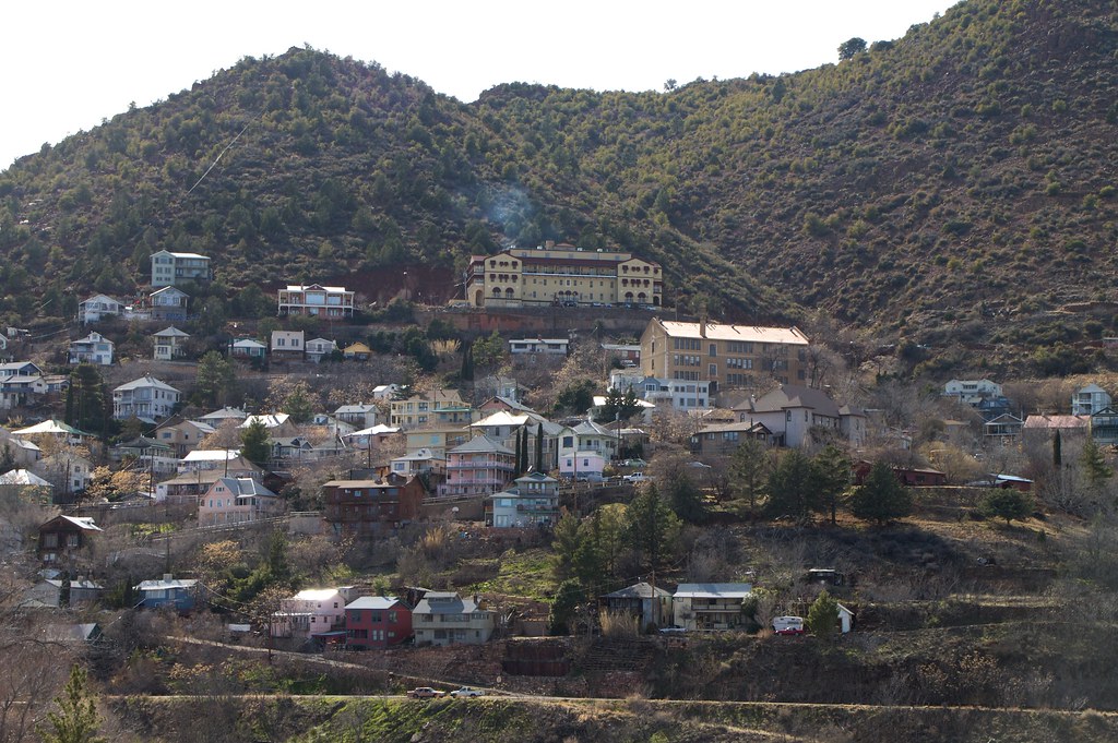
Getting here today is simple: take I-17 to Exit 248 (Bumble Bee / Crown King) and follow the Crown King Road through Bumble Bee toward Cleator — or come in from the north via Exit 259 and the old Cordes road. A high-clearance or 4x4 vehicle is recommended. Fuel, supplies and services are close by at Cordes Junction, Mayer and Black Canyon City.
If you’re interested in purchasing this unpatented placer gold claim, please email me here.
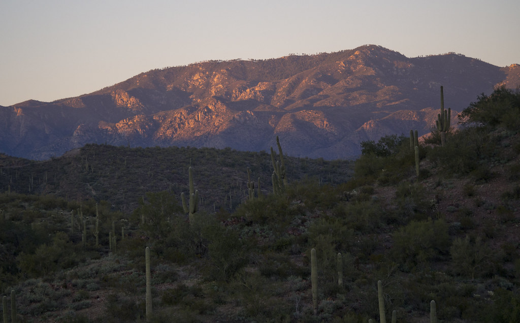
The Bradshaw Mountains — Image courtesy of Ranger Robb
| Type of Claim | Unpatented Claim; AZ101378977 (Placer) |
|---|---|
| Size of Claim | 20 ACRES (approx. 1,320 ft × 660 ft) |
| Mining Commodities | Placer Gold, Silver |
| Accessibility | I-17 Exit 248 to Crown King Road; High-Clearance / 4x4 Dirt Roads |
| Closest Towns | Cleator (~3 mi), Cordes Junction & Mayer, Arizona |
| Camping | Yes. Up to 14 days at a time |
| Prior Workings | TBD |
| Cell Phone Reception | TBD |
| Type of Deposit | Placer |
| NE | 34.269314°, -112.178896° |
|---|---|
| NW | 34.269315°, -112.183269° |
| SE | 34.267513°, -112.178896° |
| SW | 34.267505°, -112.183261° |
| Monument | 34.267800°, -112.182903° (approx.) |
|---|
Corner and monument coordinates (WGS84) read from the claim’s Google Earth KMZ boundary file. USGS Cleator 7.5′ quadrangle; Section 6, T10N R2E, Gila & Salt River Meridian.
| Operation type | Placer |
|---|---|
| Development status | Prospects |
| Commodity type | Gold, Silver |
| Deposit size | Unknown |
| District Name | Black Canyon (Black Canyon–Kay) Mining District, Yavapai County |
|---|---|
| Deposit MAS/MILS ID |
Silver Cord / Gold Cord Mine – MRDS#10048053 (~1¾ mi SW) Howard Copper Mine – MRDS#10258960 (~4 mi S) Golden Turkey Mine – MRDS#10102450 (~1¼ mi W) Golden Belt Mine – MRDS#10027168 (~1¼ mi W) French Lily Mine – MRDS#10027170 (~3–4 mi WSW) Richinbar Mine – MRDS#10027245 (~6½ mi SE) Kay Mine – MRDS#10048069 (near Black Canyon City) |
| Type of Structure | Proterozoic Yavapai Series basement with Precambrian granitoid intrusions |
|---|---|
| Structure Description |
Units mapped in the Cordes area (Anderson, 1972, USGS Bulletin 1345, 1:24,000): Badger Spring Granodiorite — dominant granitic rock south of Cordes Spud Mountain Volcanics (Big Bug Group, Yavapai Series) Crazy Basin Quartz Monzonite Bumblebee Granodiorite Cretaceous–Tertiary rhyolite porphyry dikes Shylock fault zone |
A mining claim gives the holder the right to mine on mineral-rich land that belongs to the federal government. Mining claims are a tangible asset and show proof of all interests in minerals in the area. They can be bought, sold or used as collateral, just like any other piece of real estate.
A mining claim can be sold, traded, leased, gifted, willed, used as collateral or transferred in part or in its entirety just like any other real property using a quitclaim deed which is a recordable conveyance. Questions about the transfer process can be answered by contacting us anytime. All fees and paperwork are current.
$7,500
Cash Price
Make a one time payment and get new mineral rights transferred in your name quick and easy.
Buy Online NowEmail me for more information and additional payment options.
After your purchase is complete you will be requested to fill out our new claim owner form with your name/address or add any additional claimants you want on the claim.
Digital copies of your COL and Map of Location will be delivered via email in PDF format, as well as a Google Earth™ KMZ map file with your claim’s discovery, corners and points of interest.
We handle all the filing and transfer services on your behalf. Expect to get official stamped/recorded copies of your paperwork mailed to you from the Yavapai County Recorder’s Office and the Arizona Bureau of Land Management officiating you as the new claimant within 45 days of purchase. Then officially enjoy mining gold on your own claim!
Marigold #1 is a 20 acre placer mining claim located in the Black Canyon District of Yavapai County, Arizona, on the eastern flank of the Bradshaw Mountains near Cleator. It comes to market in an extraordinary gold environment, with spot gold trading around $4,360 an ounce on September 21, 2026 — more than $600 higher than a year ago — after setting an all-time high near $5,597 in January. At these prices, every pennyweight in the pan counts.
Commodities recorded in the Black Canyon District include:
The Black Canyon District is a gold-silver-lead-copper-zinc district. Its classic ore is Precambrian vein quartz carrying native gold with chalcopyrite, pyrite, galena, sphalerite and tourmaline — exactly the kind of free-gold source that sheds nuggets and fines into the surrounding ground for the placer miner to recover.
The Marigold #1 sits in the eastern foothills of the Bradshaw Mountains, in the USGS Cleator quadrangle between Cleator (3,501 ft) and the old camp of Cordes (3,763 ft), west of Interstate 17. The claim area is characterized by:
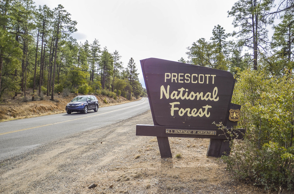
This claim is an opportunity to own 20 acres of placer mineral rights in one of Arizona’s most productive and most storied mountain ranges — with a front-row seat to the district’s modern revival.
The Black Canyon District lies along the eastern foot of the Bradshaw Mountains between the range and the Agua Fria River, running from the Turkey Creek country south toward Black Canyon City. With locations dating to 1873, it recorded about 46,700 ounces of lode gold from 1904 to 1959. Around it lie some of the great names of Arizona mining: the Peck, Tip Top, Big Bug, Tiger and Pine Grove districts, with Crown King at the top of the grade.
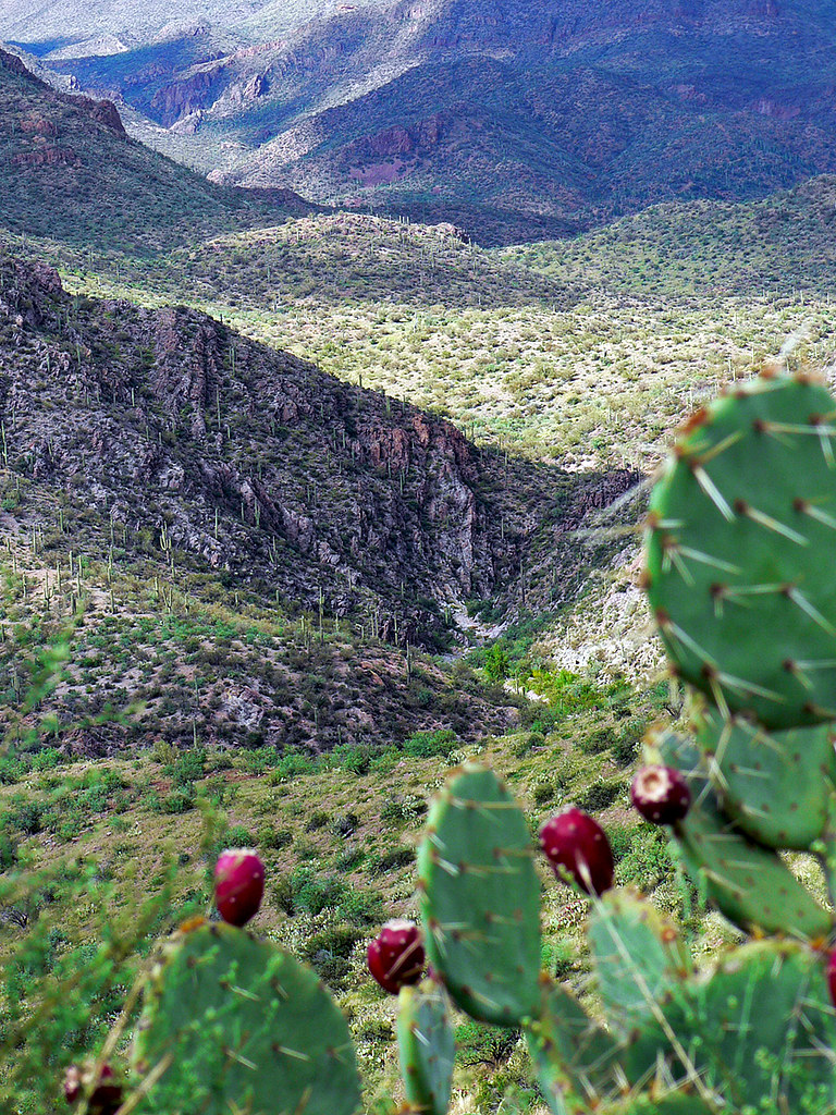
Today the district is enjoying a genuine revival. Arizona Metals Corp. has taken the Kay Mine through a maiden NI 43-101 resource (2025) and a preliminary economic assessment (2026). King Global Ventures received its Forest Service drilling decision for the Silver Cord in May 2025, was reporting high-grade silver by year’s end, and has kept drilling through 2026. A century and a half after the first locations, the Black Canyon District is back in the news — and the Marigold #1 puts you in it.
Satellite view of the claim area. Click the pin for a quick summary.
Satellite view of the claim area. Exact corner and discovery-monument coordinates are published above, and the Google Earth KMZ is available for download.
Explore other active placer claims.
Every claim currently for sale, sorted by price. Tap a name to open the full listing.
| Claim | Price | Commodity | County / State | Acreage |
|---|---|---|---|---|
| The Virginia Lynn | $1,000,000 | Silver, Gold, Copper +4 | Dolores County, Colorado | 87.64 |
| The Sedona Legend & Sunrise Claims | $71,980 | Gold | Yavapai County, Arizona | 80 |
| Mountain View Tungsten Project | $65,000 | Tungsten, Copper | Lyon County, Nevada | ~140 |
| Ophy I-V Claims | $41,250 | Gold, Silver, Copper | Boise County, Idaho | 79.35 |
| Sunny Side Up #1-2 | $21,500 | Gold, Silver | Southeast Fairbanks, Alaska | 80 |
| Boulder #2 & #3 | $15,000 | Gold, Silver | Boise County, Idaho | 41.32 |
| The Winna-Winner Claims | $10,000 | Gold, Silver, Iron +2 | Humboldt County, Nevada | 40 |
| Belcher Canyon | $9,997 | Gold | Nye County, Nevada | 20 |
| The Golden Trinity Claim | $8,000 | Gold, Platinum, Silver | Trinity County, California | 20 |
| Marigold #1 you’re here | $7,500 | Gold, Silver | Yavapai County, Arizona | 20 |
| Ayers Claim | $6,500 | Gold, Silver | Sierra County, California | 20 |
| The Eureka Comstock Placer | $5,000 | Gold, Copper, Silver | Washoe County, Nevada | 20 |
Prices and availability change as claims sell. Ask about any of these or see what has already sold.