 Placer
Belcher Canyon
📍 Nye County, Nevada
- Au
$9,997
1 Lode Mining Claim · 20.66 Acres · Northumberland District · Nye County, Nevada
$9,500
All BLM & county filing fees included. Transfer handled start to finish.
Ounce-Plus Gold on the Dump, Written Down by the Government — and Nobody Has Ever Chased It Underground
Point your truck south out of Austin on the Big Smoky Valley road and the Toquima Range rears up on your left like a granite wall. Tucked into a high, sunny basin on its western face, in rock that cooled 150 million years ago, sits one of the best-documented little vein prospects in central Nevada. The U.S. Geological Survey carries it in its files as the Enriquez Prospect; a pair of prospectors restaked it in 1981 as the Long Pick. We have kept the original name. What pulled them in, and what pulled the old-timers in before them, is sitting right there on the dump in plain sight. When the Nevada Bureau of Mines and Geology walked this ground in 1980 and again in 1981, their geologist picked a chunk of rusty, copper-stained quartz off the high-grade pile at the easternmost adit and sent it to the lab. The number that came back is the kind prospectors dream about: 1.12 ounces of gold per ton, 5.23 ounces of silver per ton, and better than 4 percent copper. That is not campfire talk. It is printed in a state open-file report and repeated in the USGS Mineral Resources Data System, and anyone can look it up.
The Enriquez is a single 20.66-acre unpatented lode claim laid right over that prospect and the veins that feed it. Here is the part that should get your pulse going: this ground has been looked at by the right people — the USGS mapped it, the state bureau sampled it, and a DOE-funded study wrote it up — and in all that time there is no record of anyone ever drilling it. The veins run on for hundreds of feet past the last pick mark, and the deepest anybody ever went was a 40-foot shaft. The structure is still there, still open, and the gold the government found on the dump had to come from somewhere.
Talk about a neighborhood. This is the same mountain range as Round Mountain, Kinross’s giant open pit at the south end that has been pouring gold for decades and is still one of the biggest open-pit gold mines in Nevada. Same range as Manhattan, Belmont and Gold Hill. And just ten miles down the crest from the Enriquez sits Northumberland, a past-producing mine with a fresh July 2026 resource of 2.86 million gold-equivalent ounces indicated and 1.57 million inferred. Newmont held Northumberland for fifteen years. In October 2026 a well-funded Canadian explorer, StrikePoint Gold, bought it for $70 million cash plus another $50 million in milestone payments, raised C$160 million to go with it, and announced drilling would start within the month. The Northumberland project’s own technical report calls the granite body under the Enriquez — the Clipper Gap pluton — the largest Jurassic intrusion in the district. When the big players are writing nine-figure checks for the neighborhood, owning a piece of it for the price of a used pickup is a pretty good place to be.
The geology is about as clean and classic as a vein prospector could ask for. The Clipper Gap pluton is a stock of fine- to medium-grained biotite quartz monzonite — granite, to the rest of us — dated by the USGS at 151 million years and, in the Survey’s view, part of the same Jurassic plutonic complex as the famous Austin pluton in the Toiyabe Range across the valley. Late in its life the stock cracked along north–south and northwest shears, and hot, boron-rich fluids charged up those cracks alongside the aplite dikes, laying down banded, vuggy white quartz shot through with jet-black tourmaline and clots of sulfide: pyrite, chalcopyrite, tetrahedrite and bornite, with the copper weathering out to bright green malachite and blue azurite you can spot from across the dump. Walk east of the old stone cabin and you will see the same tourmaline bursting out of the aplite in black sunburst clusters. That is the fingerprint of an intrusion-related gold-copper system, and those systems are famous for the bonanza shoots they hide.
The easternmost adit cuts two parallel veins on the same shear — a foot and a half of banded quartz between the two of them, separated by a couple of feet of sheared granite — and the state geologist noted the structure can be traced south along strike for several hundred meters. About 200 feet to the northwest the shaft follows a second shear, this one banded with iron-stained tourmaline. The old-timers only ever scratched the oxide cap. Everything beneath it, and everything along strike, is wide open and waiting for you.
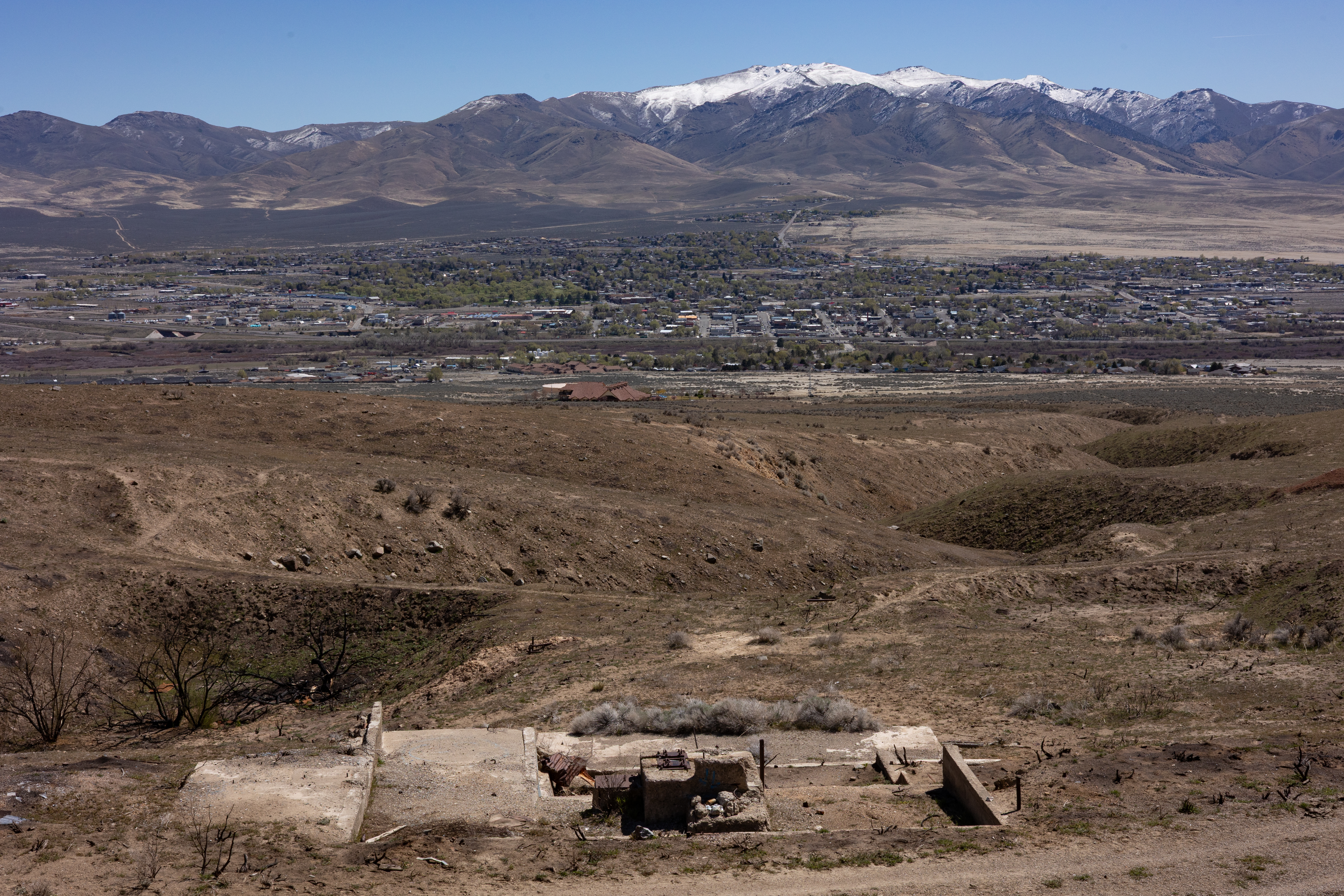
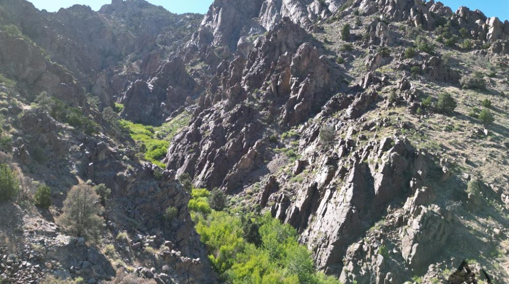
This is Humboldt-Toiyabe National Forest ground at 6,480 feet — piñon and juniper country with clean air, big skies and the crest of the range rising above you to the east; Wildcat Peak (10,508 feet), the high point of the northern Toquimas, stands about ten miles to the south. Getting there is part of the adventure: once you leave the pavement it is miles of dirt road up out of Big Smoky Valley and into the western canyons, and the last stretch crosses washes that blow out in a good storm, so bring a capable off-road rig with real clearance and four-wheel drive, not the family sedan. USGS mapping notes that truck roads reach all the major canyons on both sides of the range, with one following most of the crest. Spencer Hot Springs, a well-loved free soak on BLM land, is a dozen miles up the valley for the end of a long day. Austin, the historic silver town on U.S. 50, is 25 miles northwest with fuel, food, beds and a mining pedigree going back to 1862; Tonopah is the big-town option to the south. Out here you will have the place to yourself. This is the kind of claim where you camp under the stars, pan the drainage below the workings over morning coffee, and swing a pick on your own gold vein by noon.
Nye County is Nevada’s biggest county and one of its richest: nearly three million ounces of lode and placer gold between 1903 and 1959 alone, and Round Mountain has added millions more since. The Northumberland district has been turning out metal since silver was struck here in 1866, with gold mined at its heart in every era from the 1930s open pit to the heap leaches of the 1980s. The Enriquez plants you squarely in that district, on a documented high-grade showing, with one of the biggest new gold deals in central Nevada unfolding ten miles down the ridge. Opportunities like this do not sit on the shelf for long.
If you’re interested in purchasing this unpatented Nevada lode claim for sale, please email me here.
| Type of Claim | Unpatented Lode — “The Enriquez” (historic Enriquez / Long Pick prospect) BLM serial number assigned on filing |
|---|---|
| Size of Claim | 20.66 ACRES — ONE FULL-SIZE LODE CLAIM (1,500 × 600 FT, LONG AXIS N 22° W) |
| Mining Commodities | Gold, Silver, Copper |
| Accessibility | Miles of dirt road up the western canyons from the Big Smoky Valley road, with occasional large wash-outs. High-clearance 4×4 required. |
| Closest City | Austin, Nevada (~25 miles by air, farther by road); Tonopah to the south |
| Camping | Yes. Up to 14 days at a time on National Forest land |
| Prior Workings | 40-ft shaft on a N 5–10° W shear; two parallel adits on the main N–S veins; historic dumps; 1880s-era stone cabin in the basin |
| Cell Phone Reception | Spotty in the basin; improves on ridgelines facing Big Smoky Valley |
| Type of Deposit | Lode — quartz-tourmaline-sulfide veins in granite |
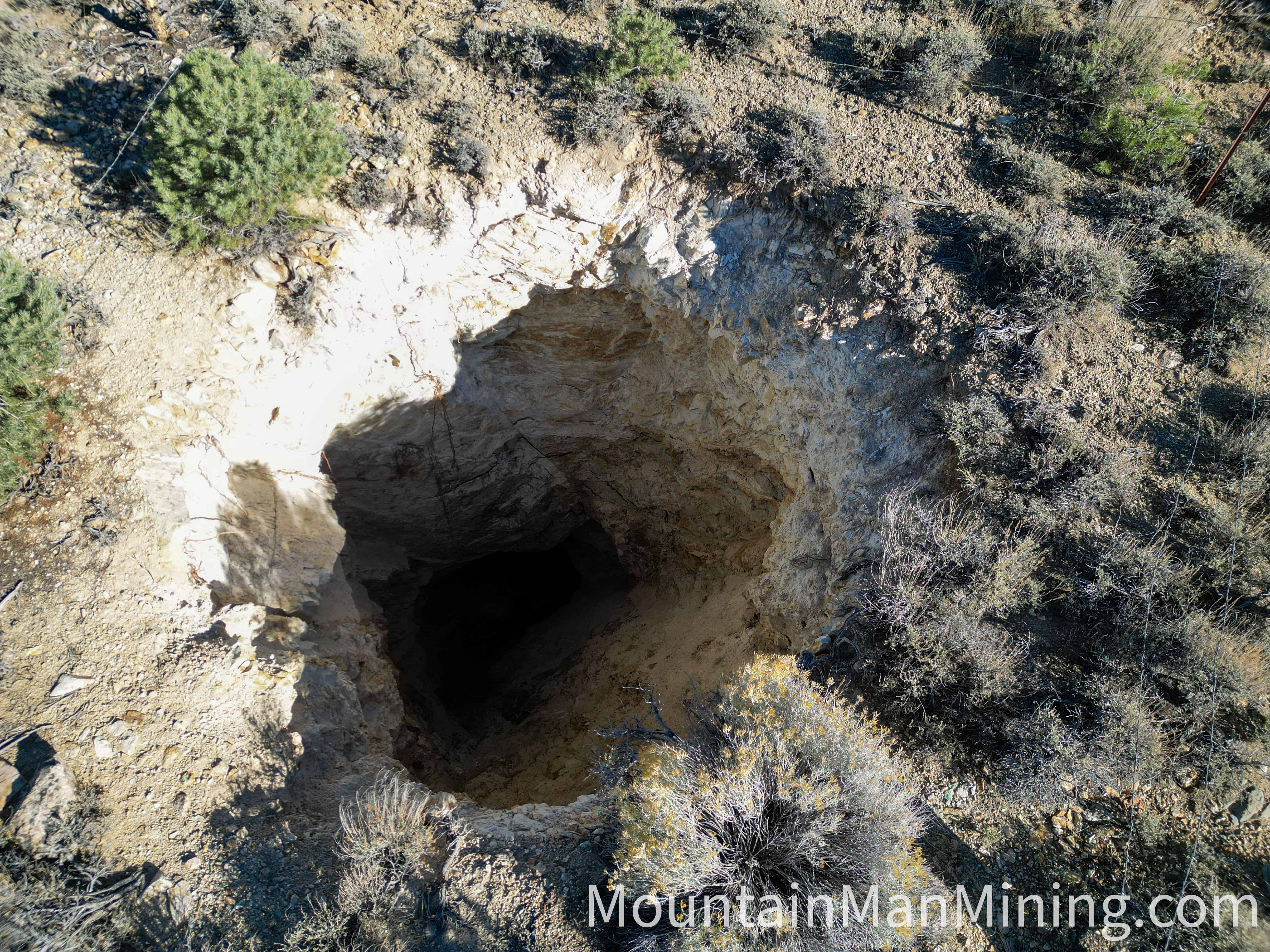
The following were taken on the claim and in the surrounding basin during our field visit. They show the shaft from the air and from the collar, the adit portals, copper-stained vein quartz on the dumps, the claim monuments, the old stone cabin, and the canyon approach. Click any photograph to open it full size.
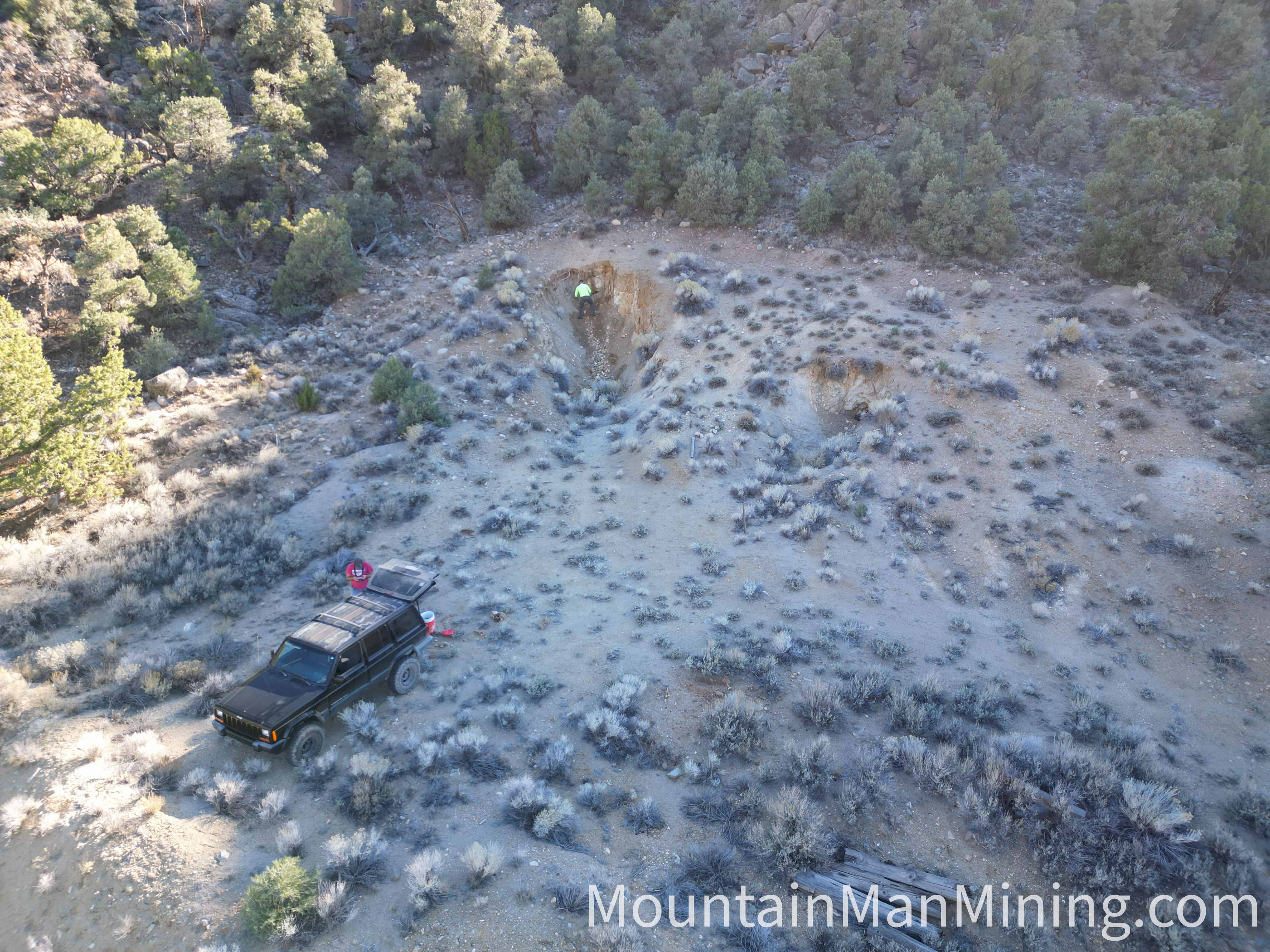
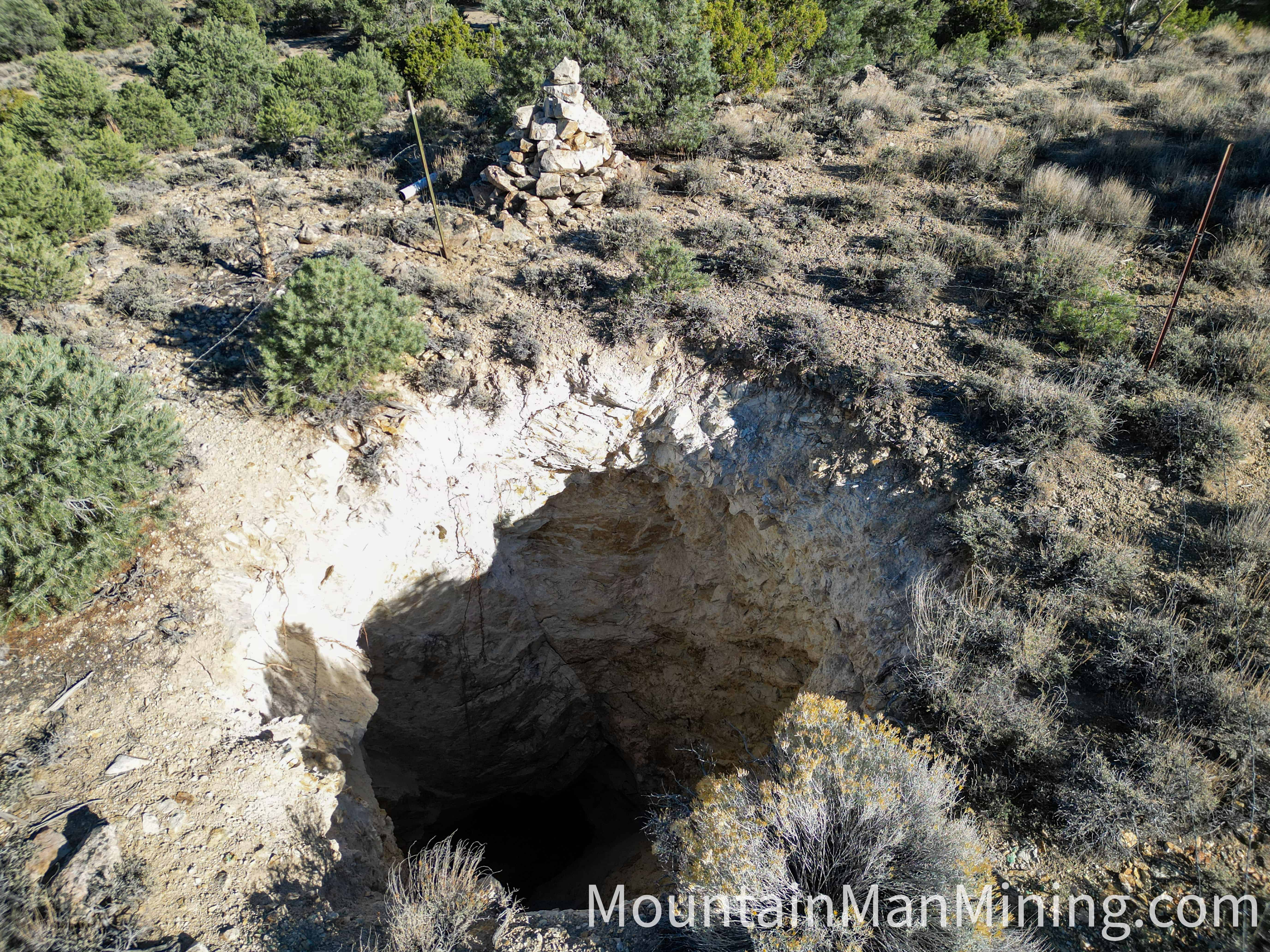
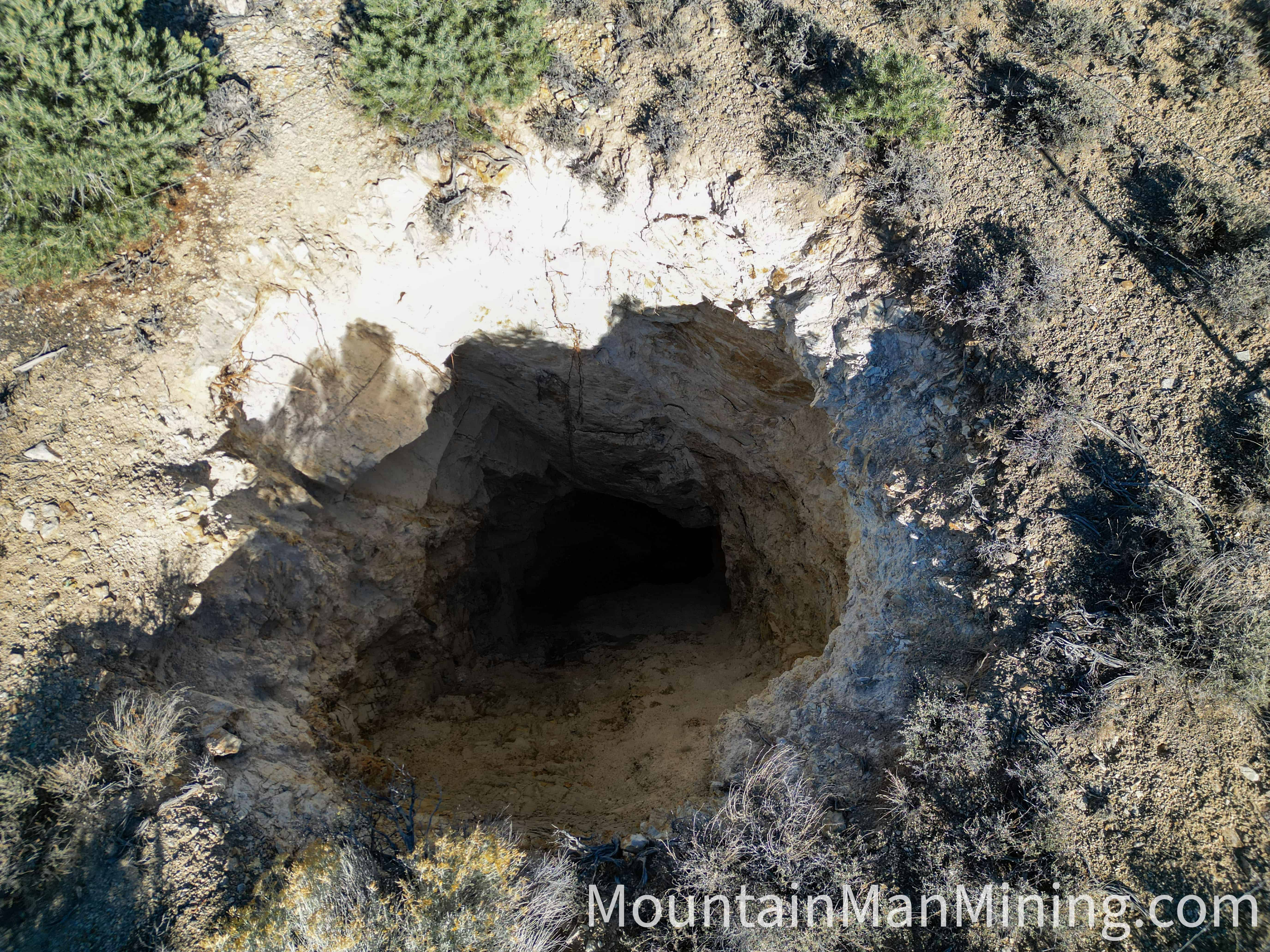
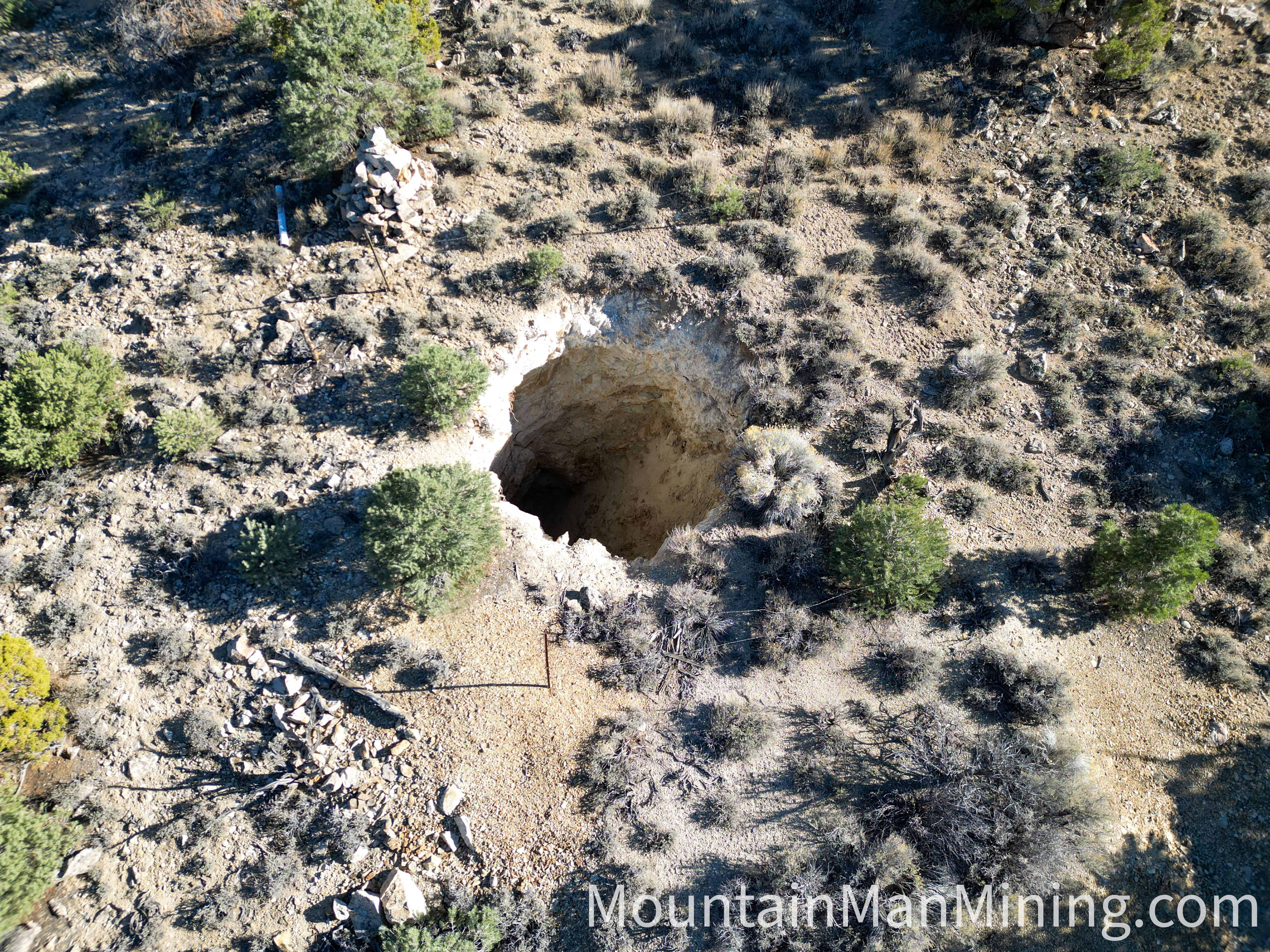
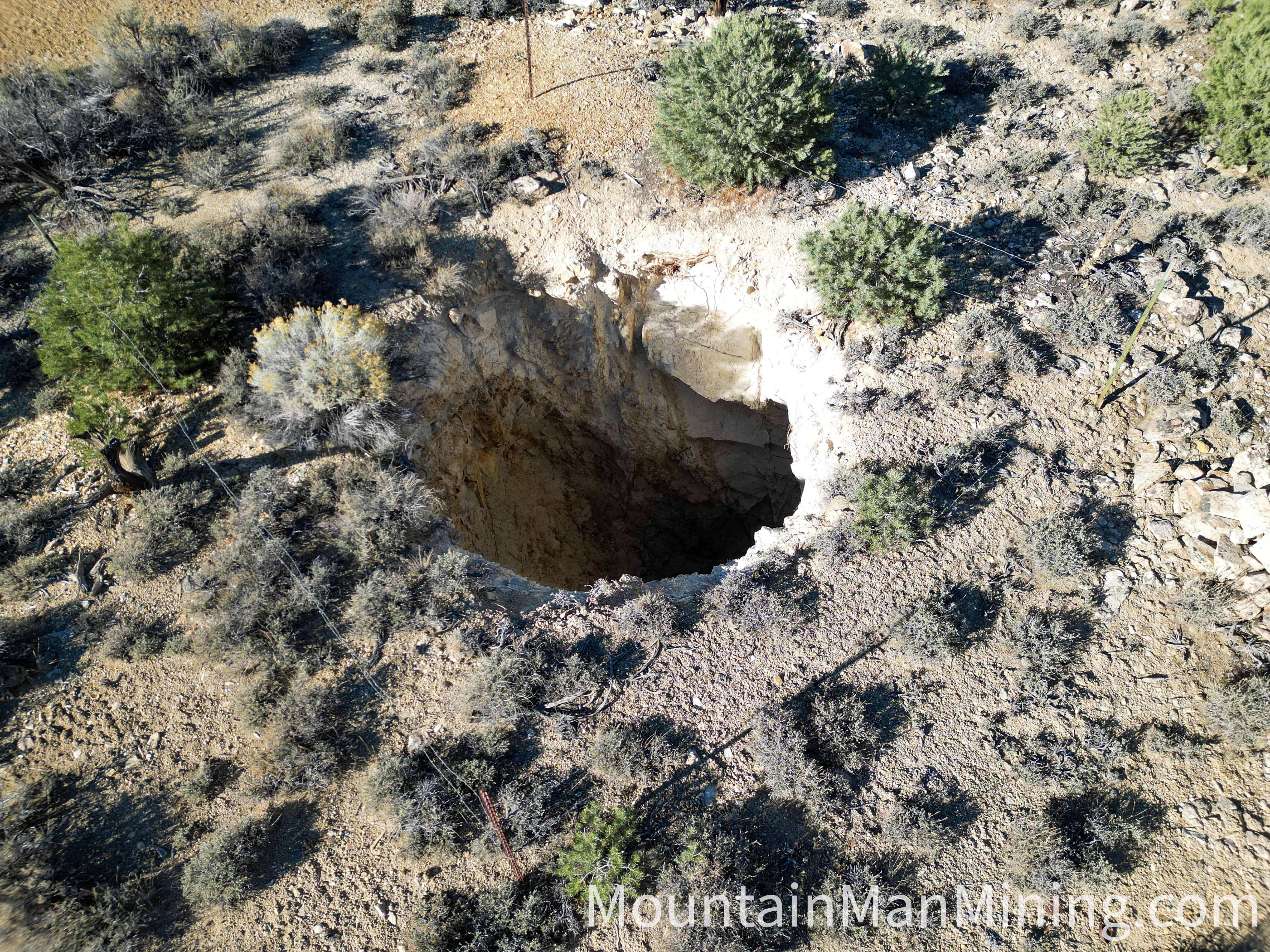
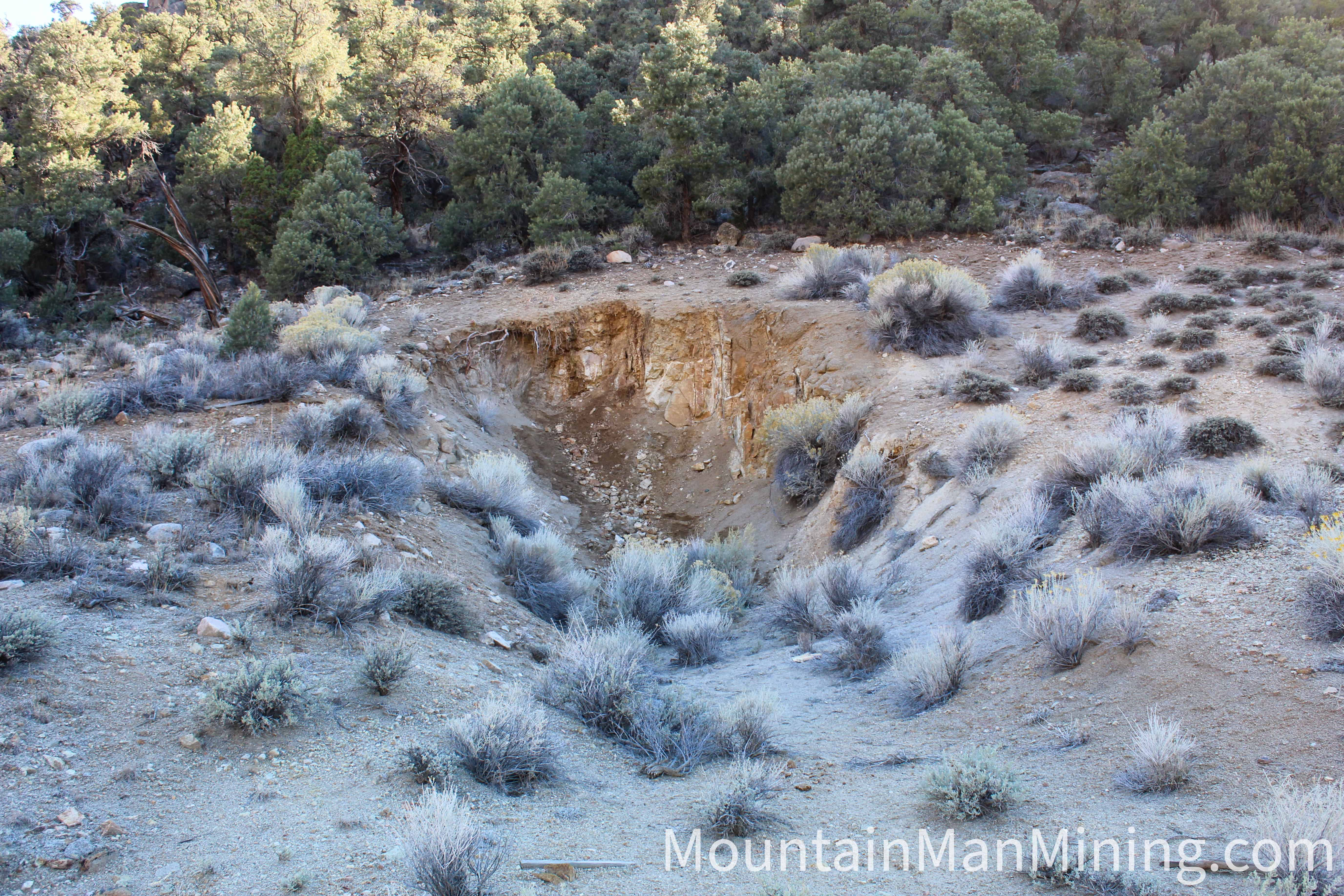
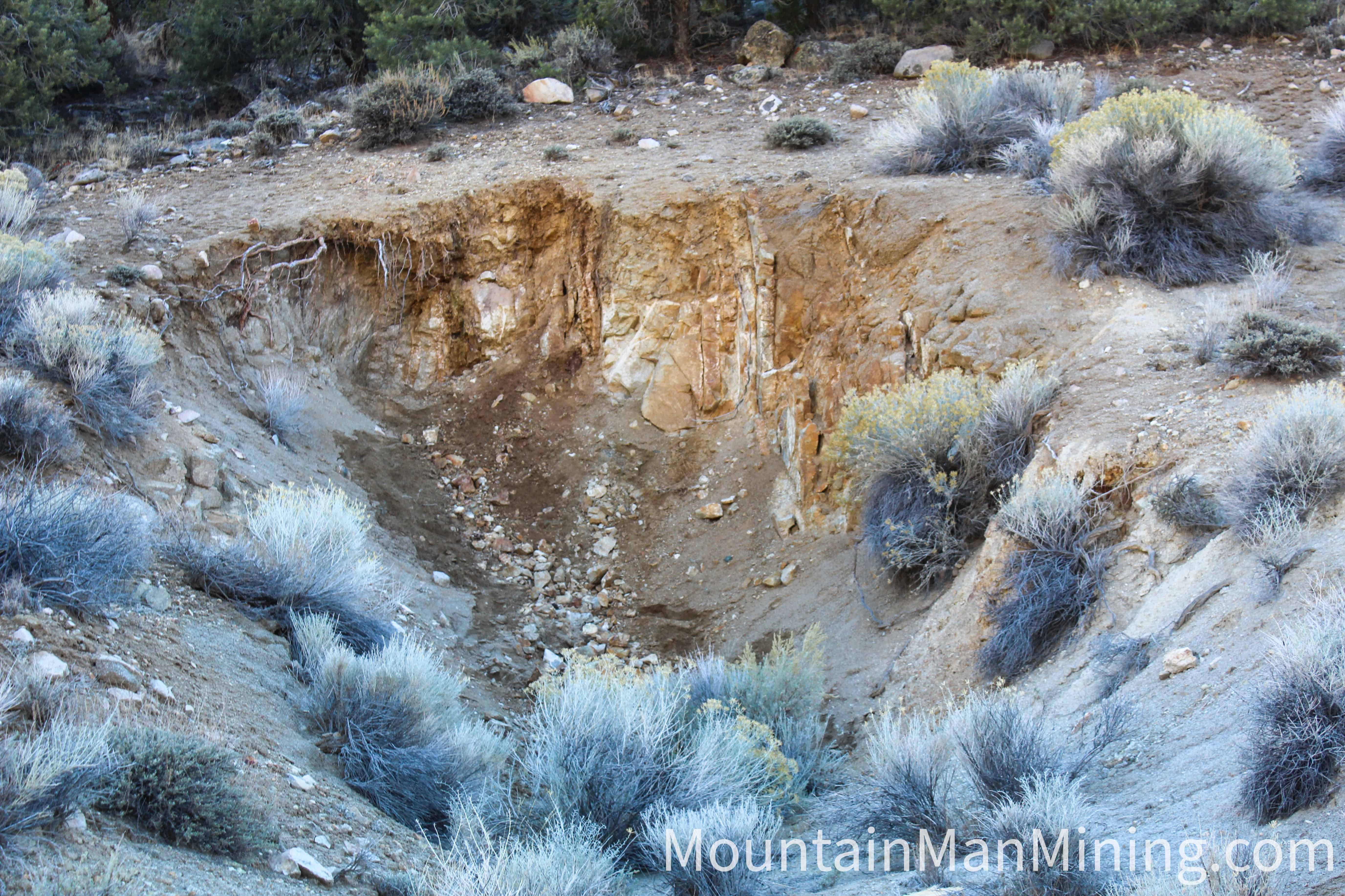
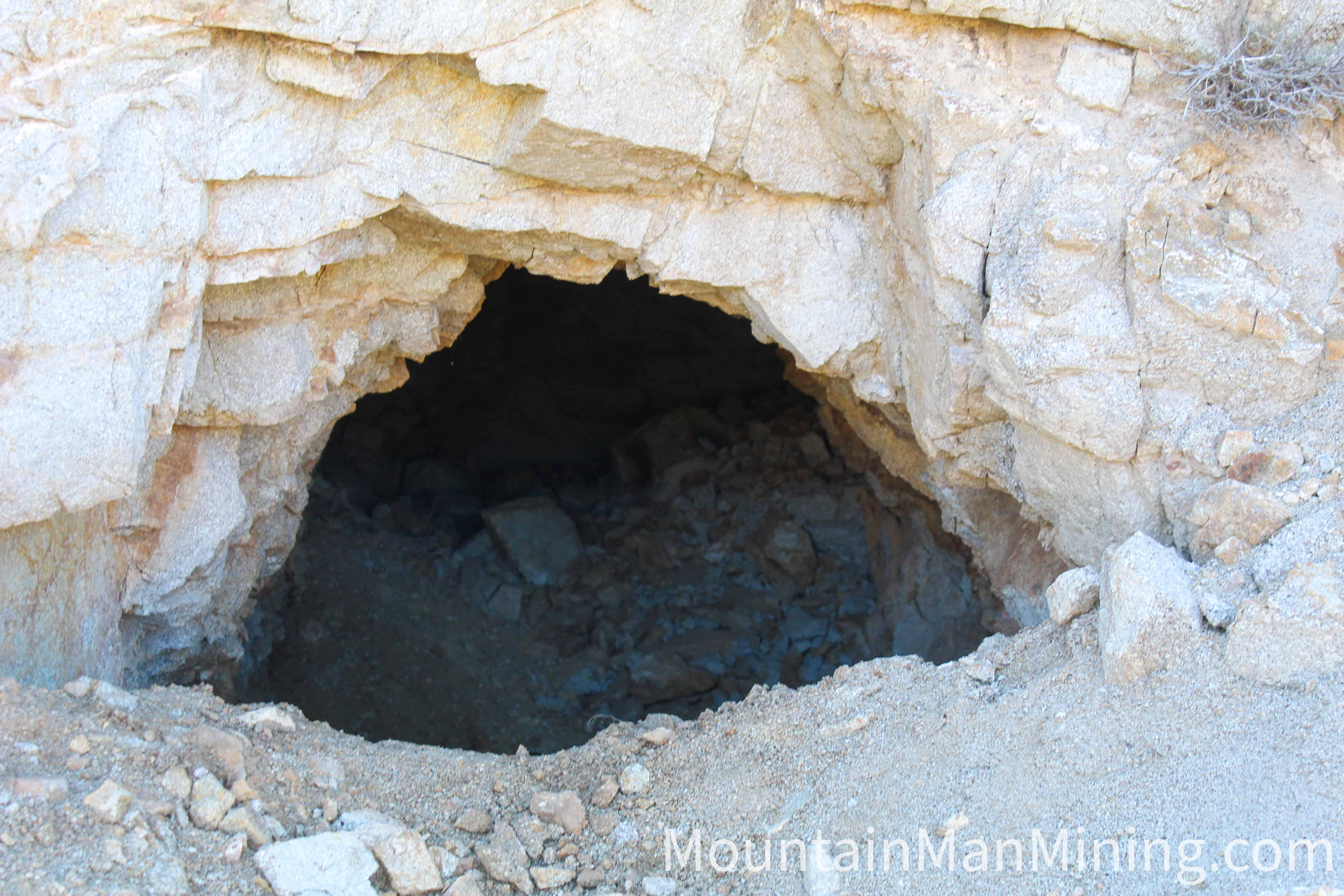
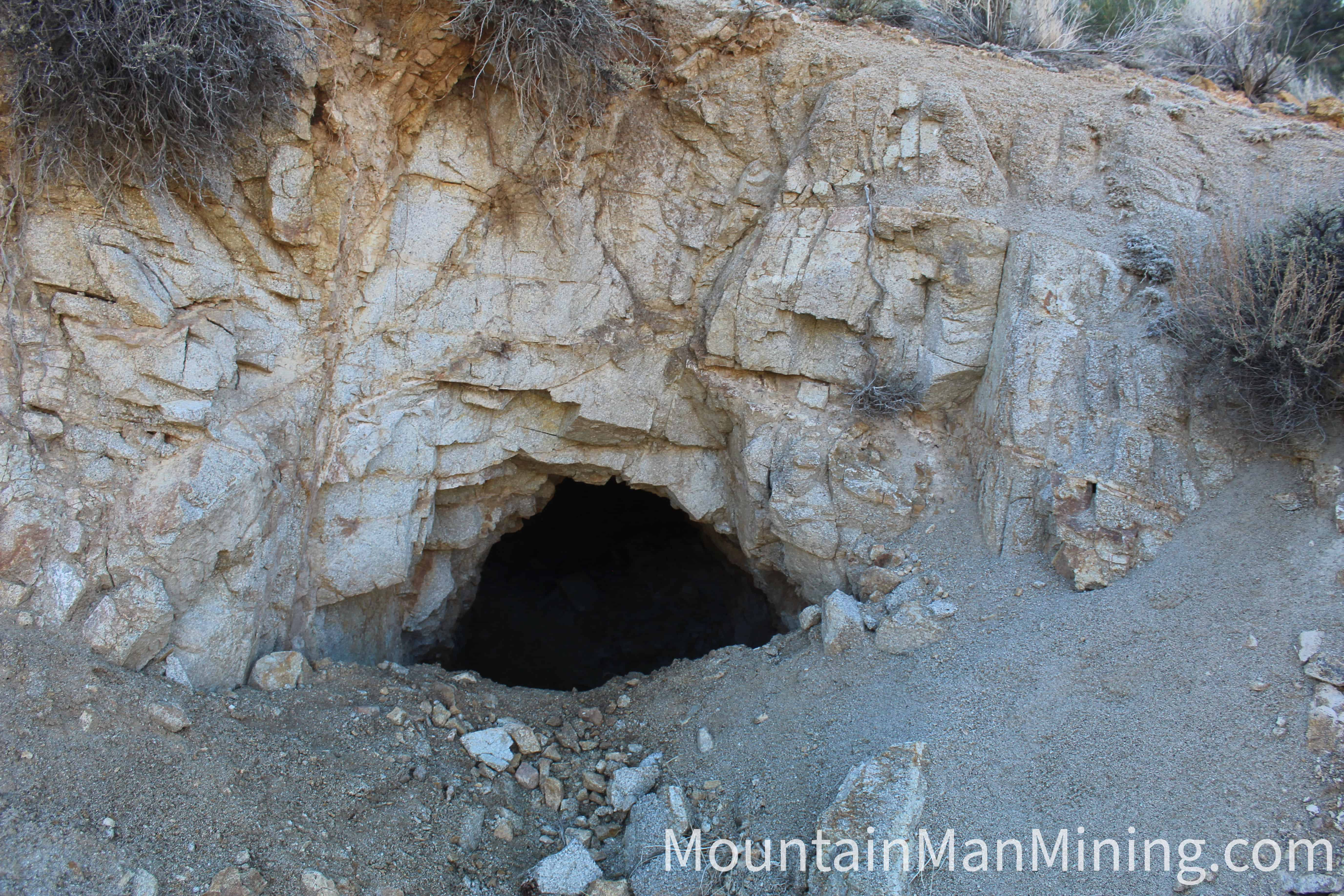
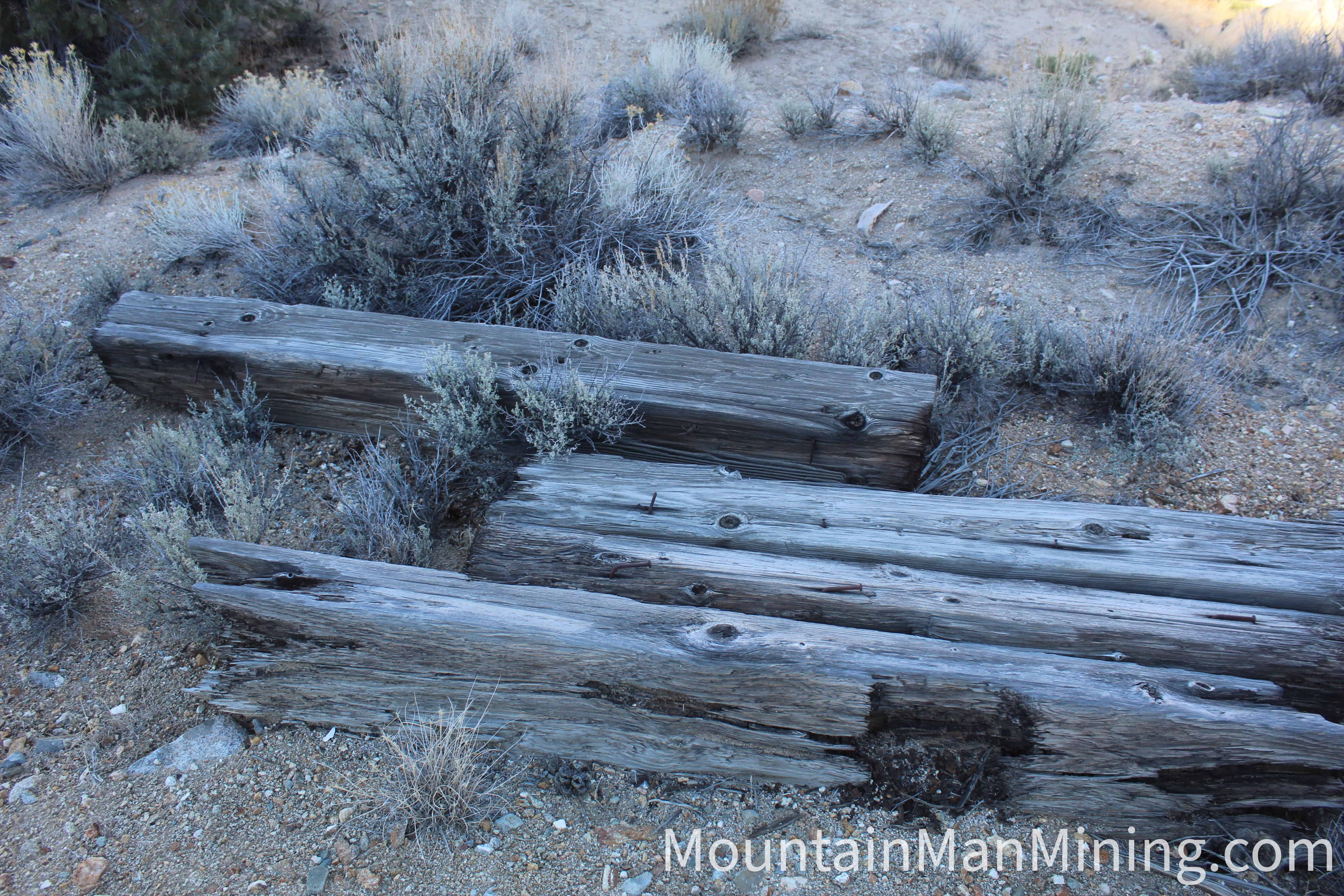
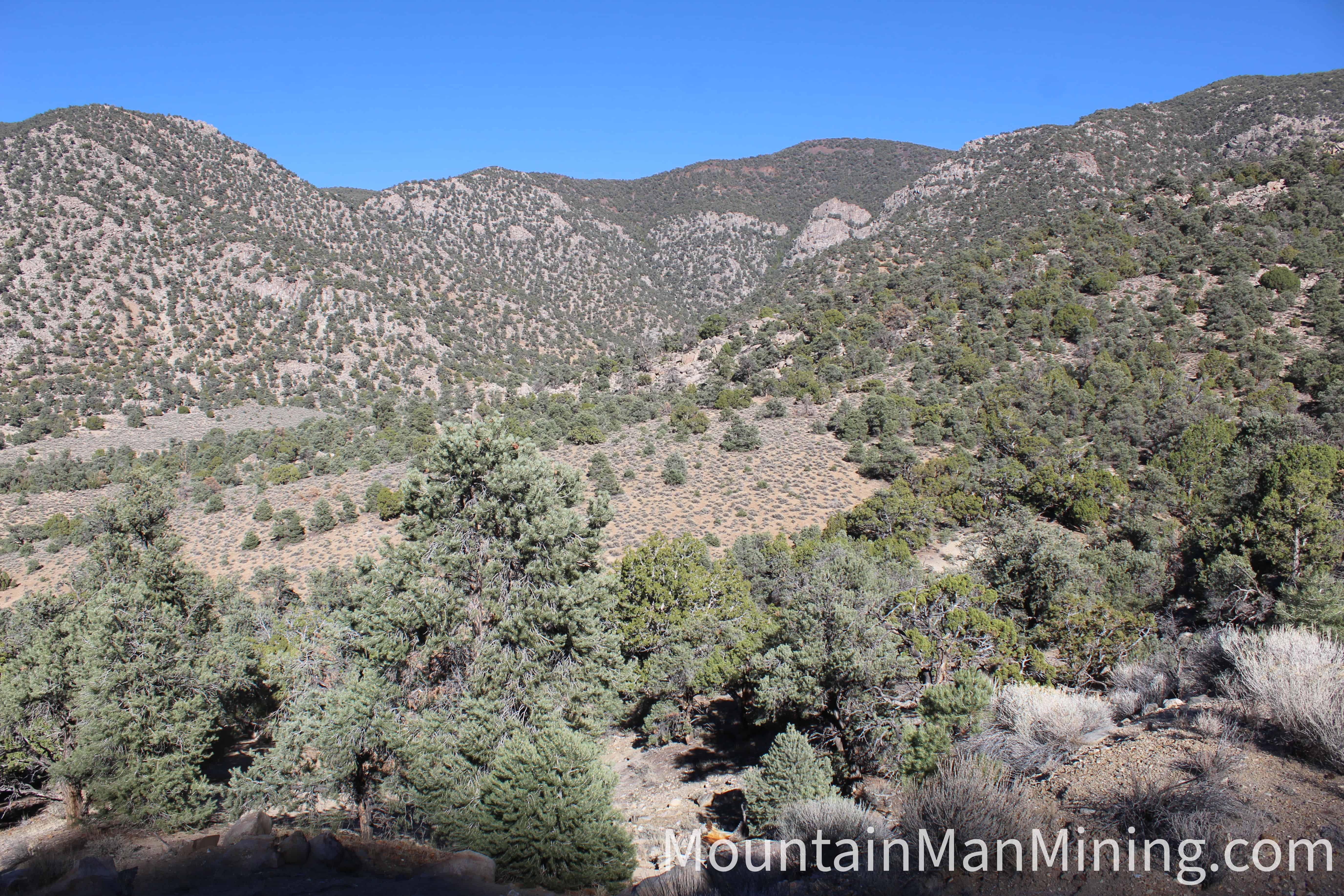
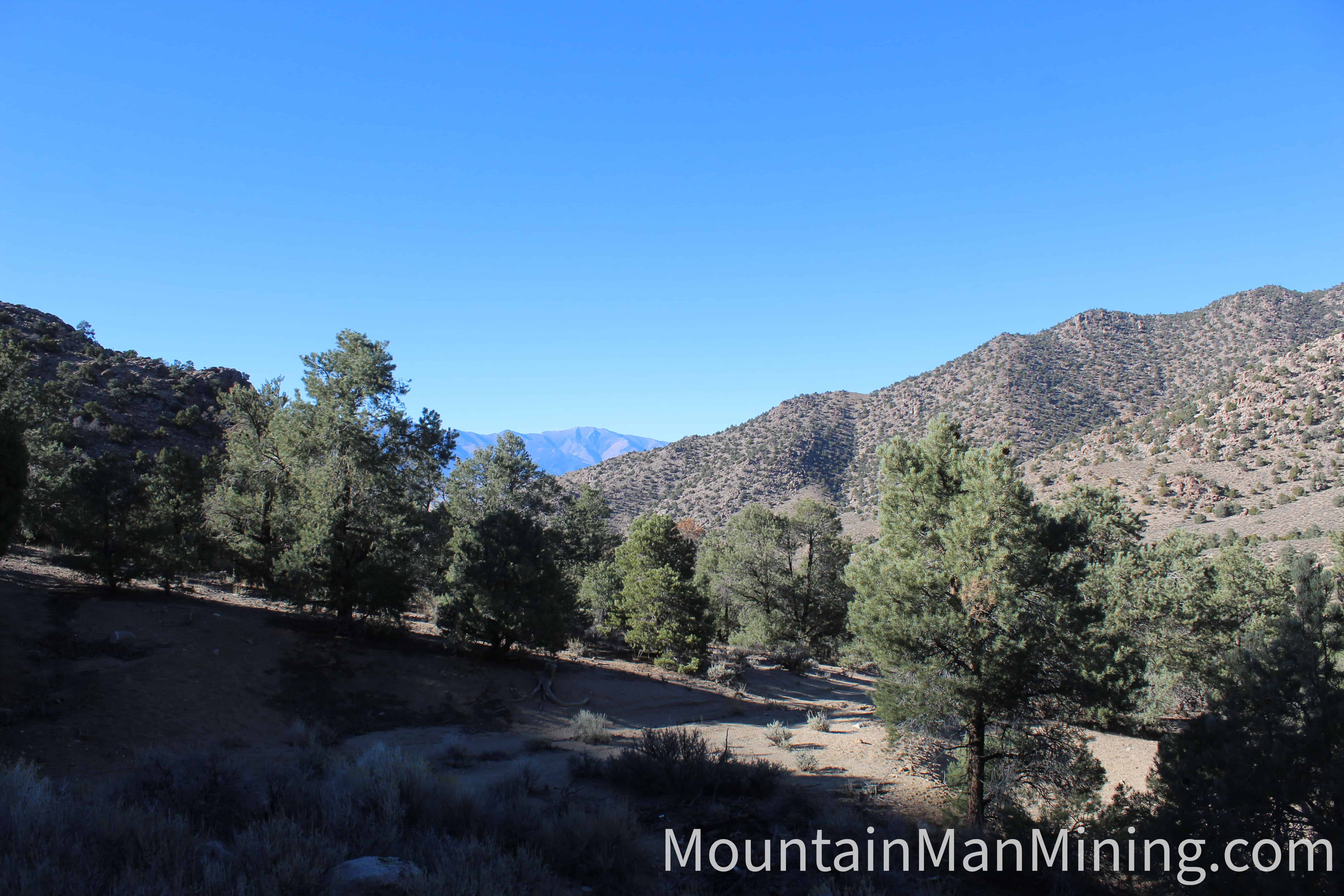
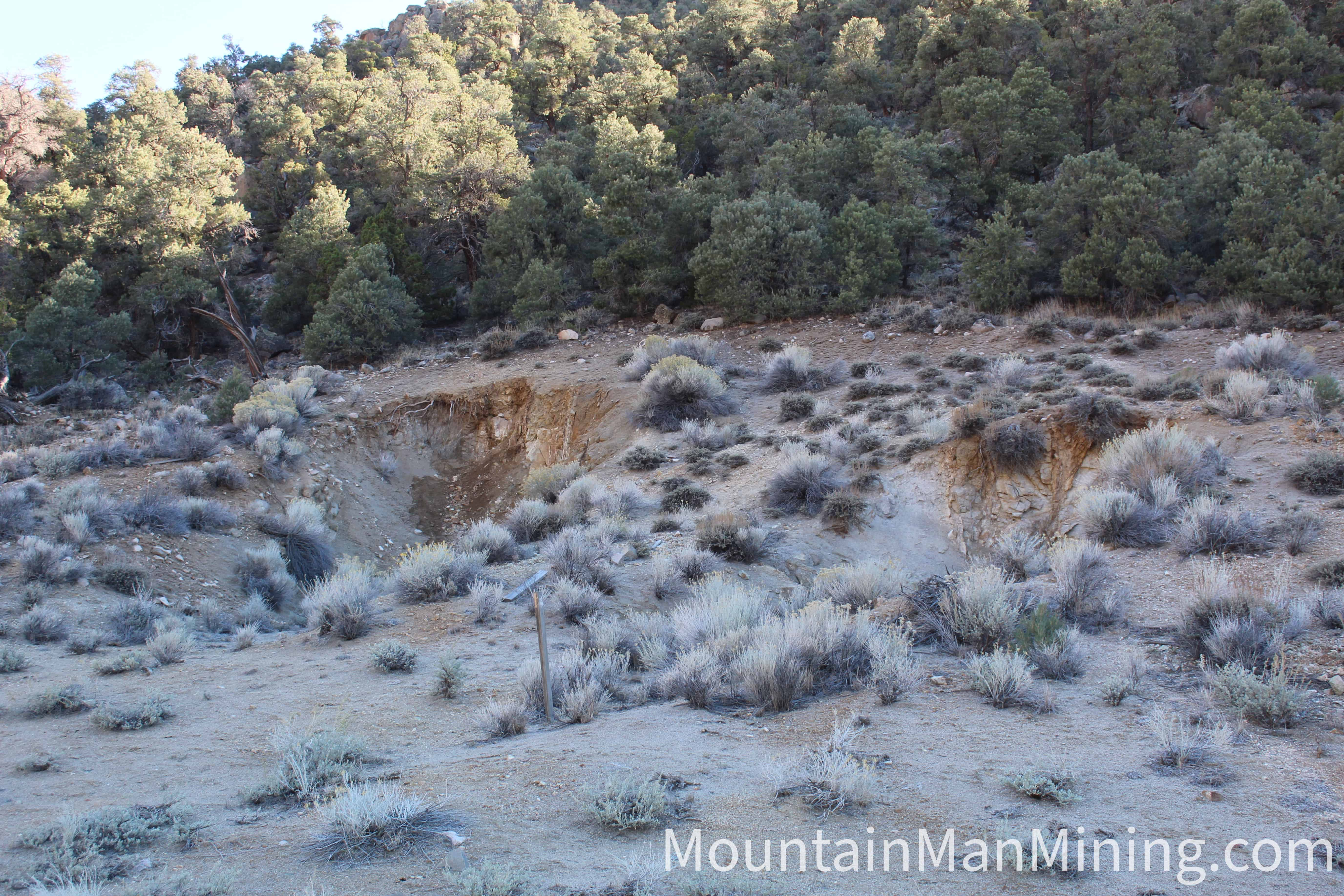
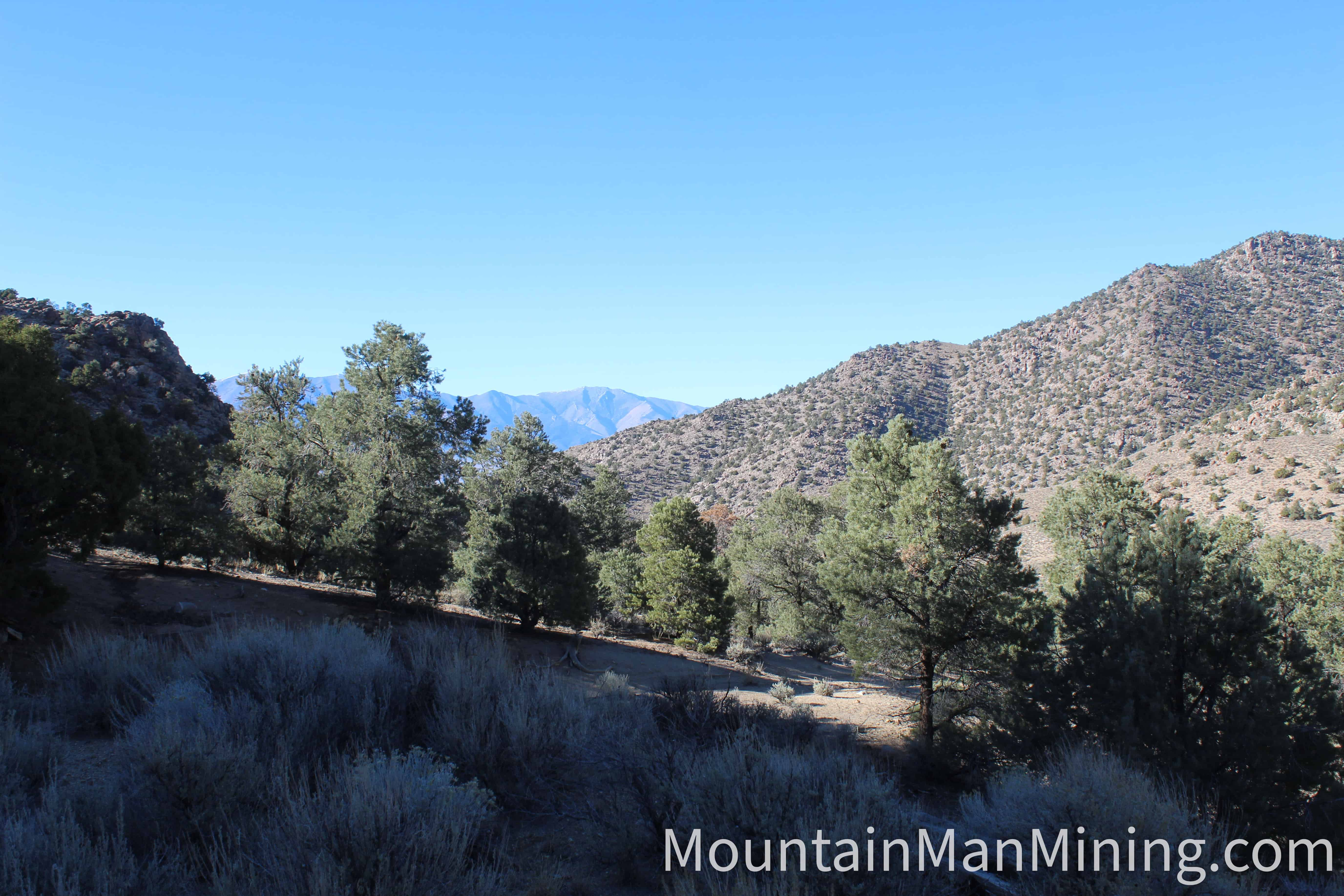
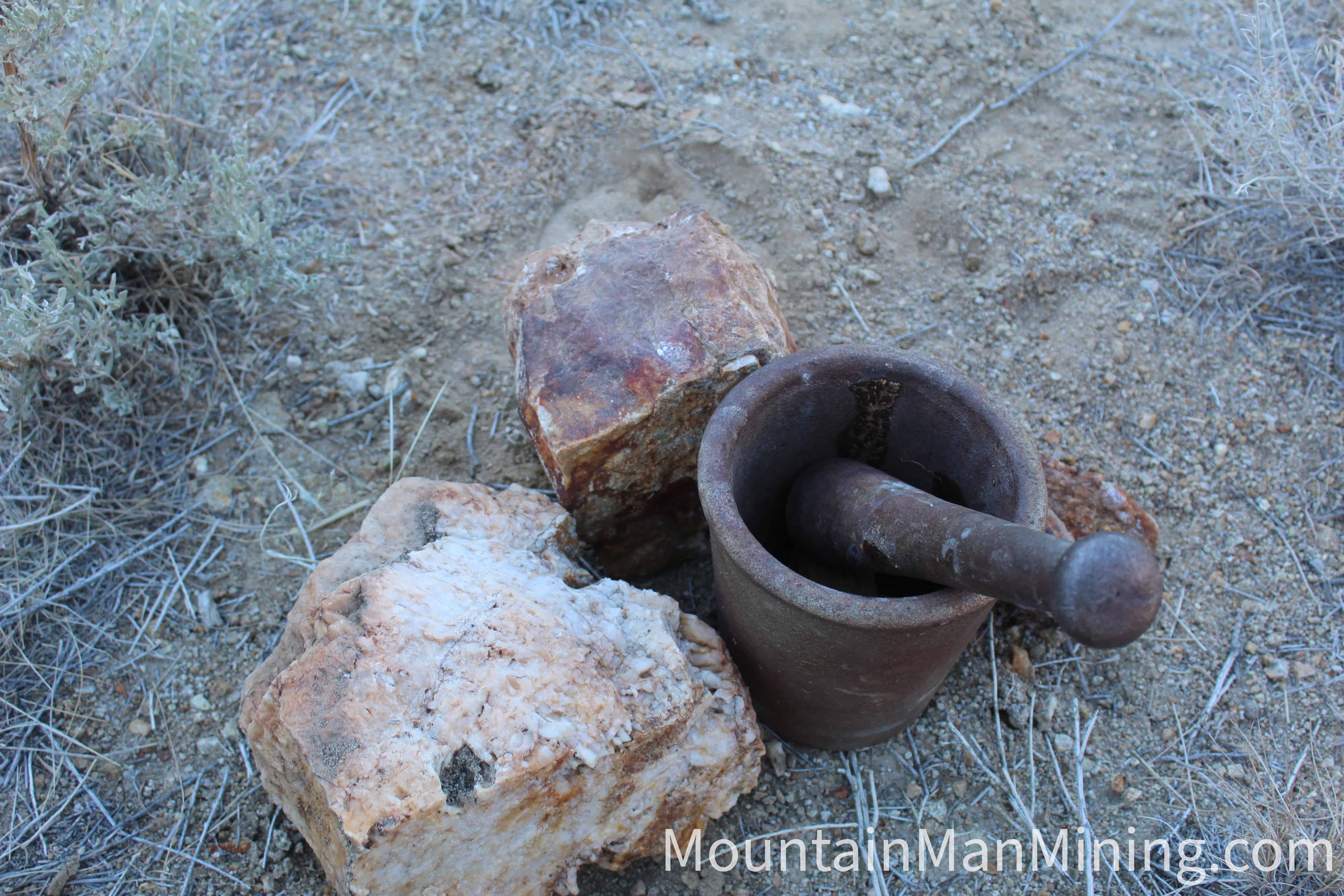
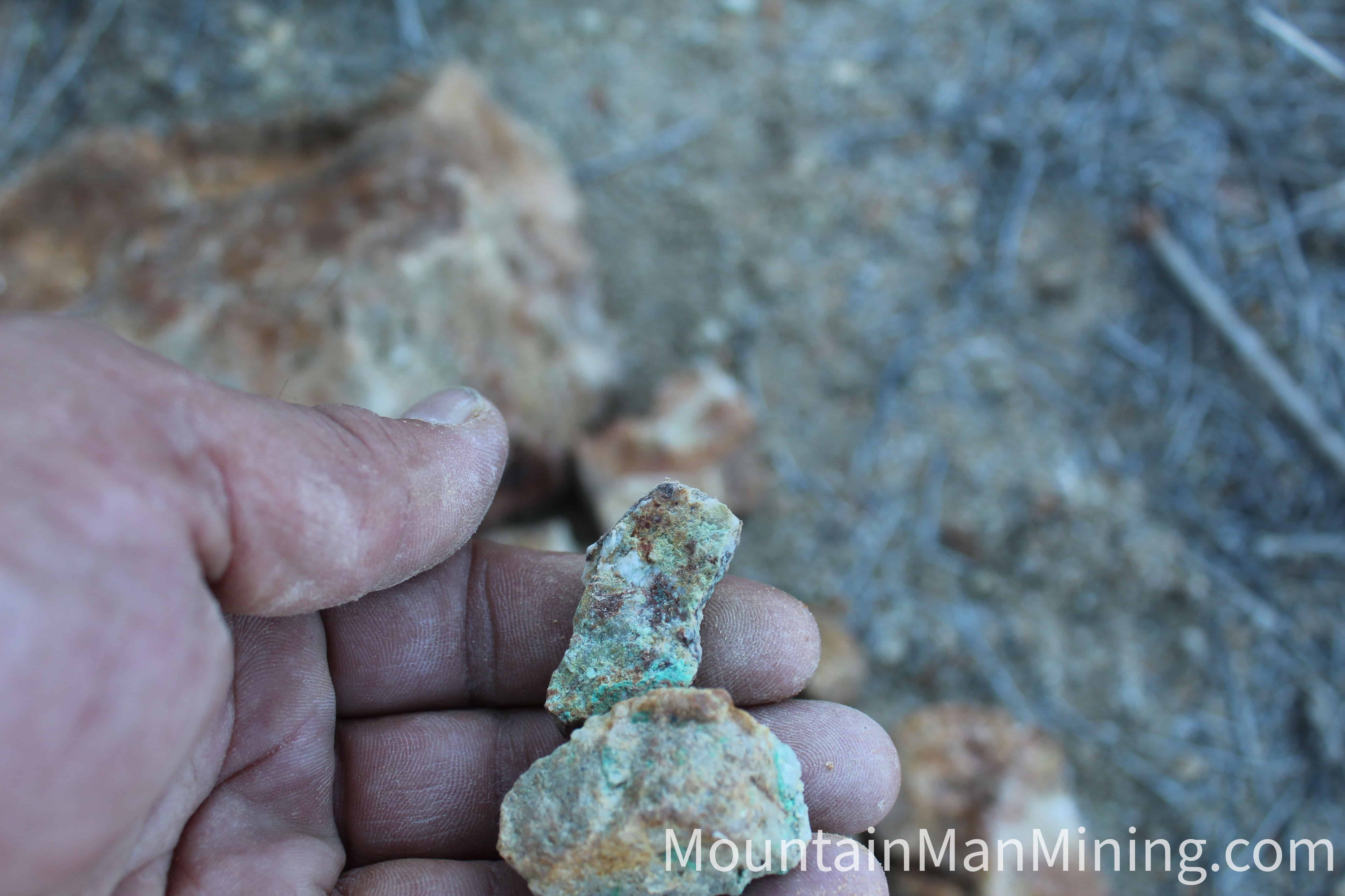
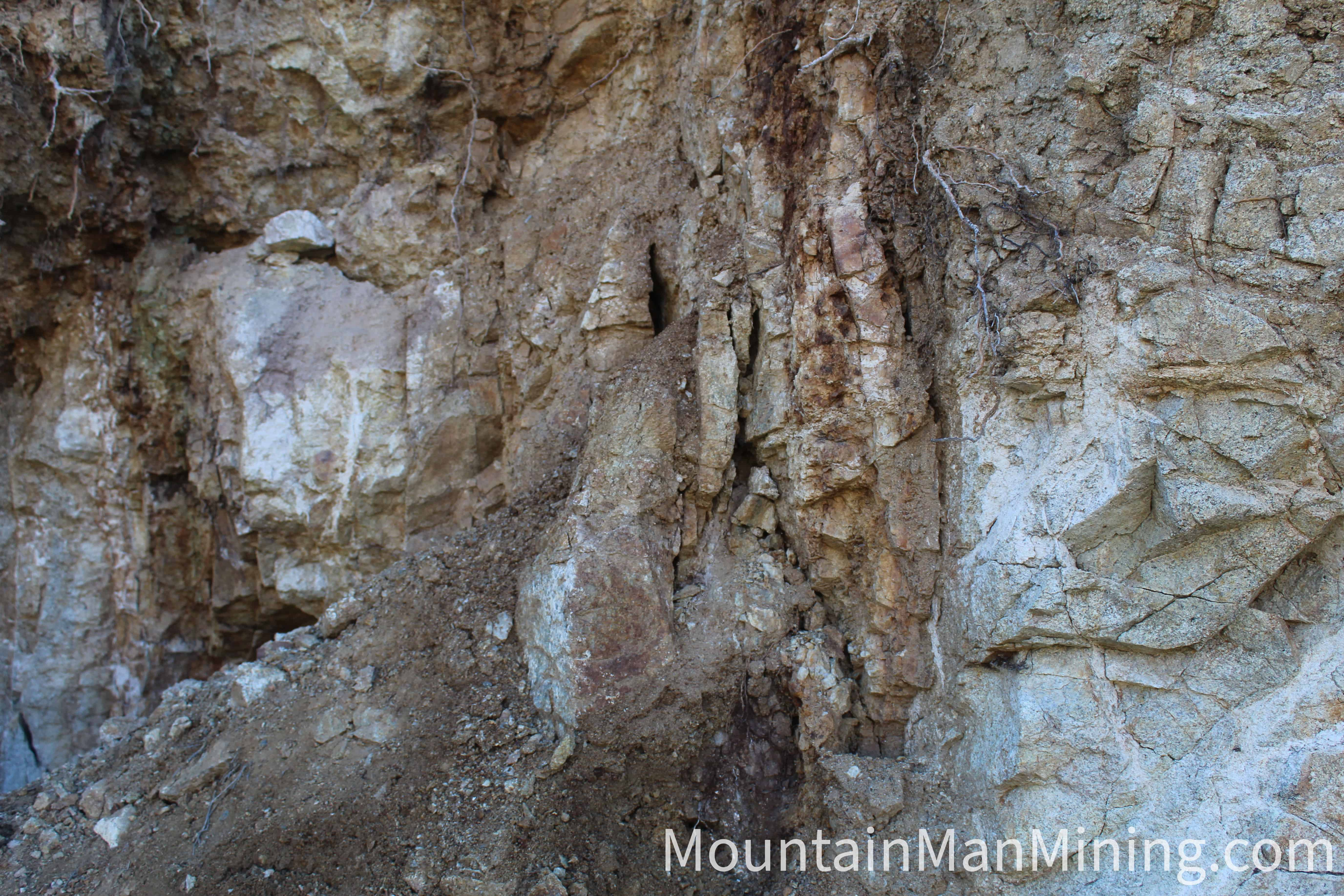
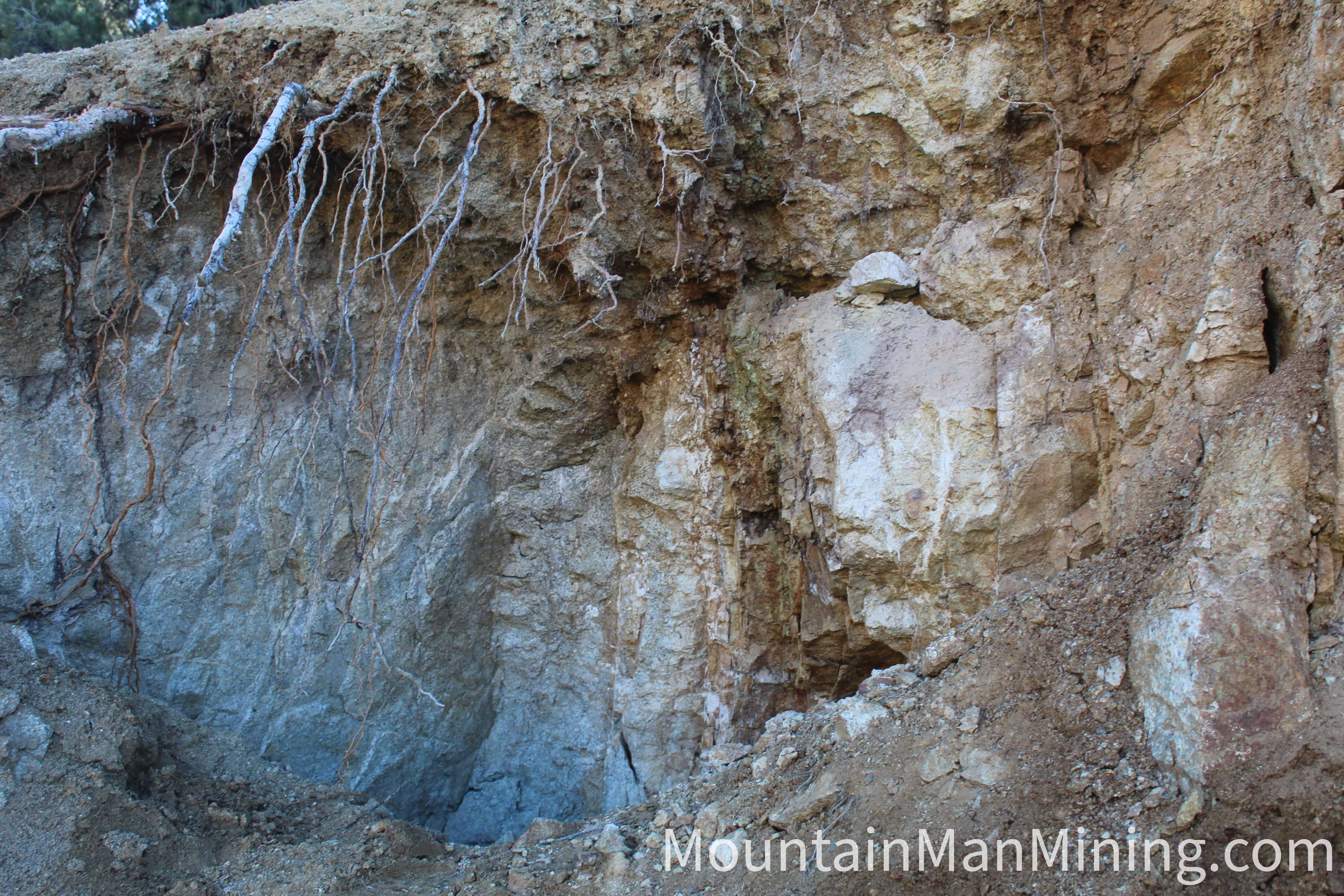
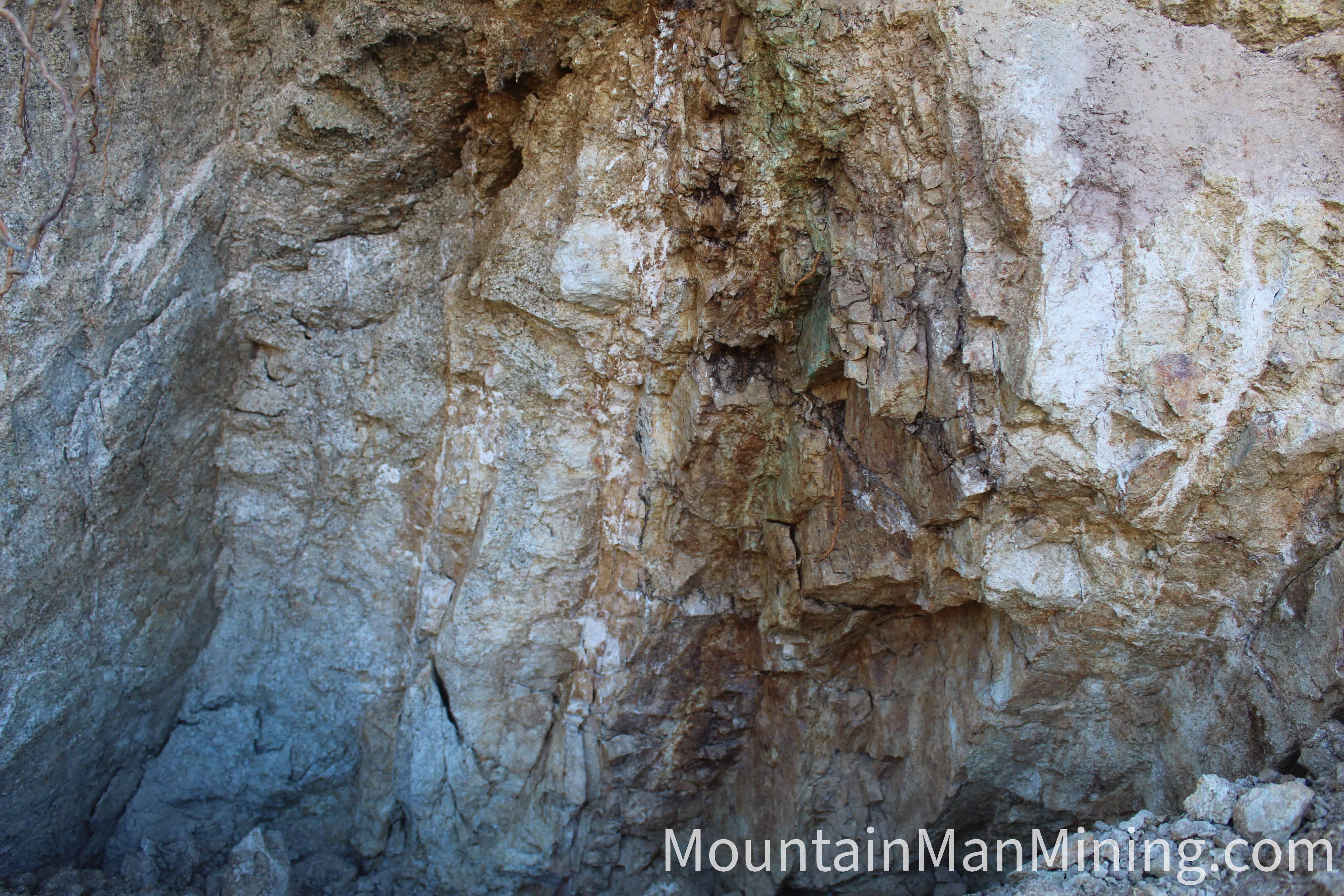
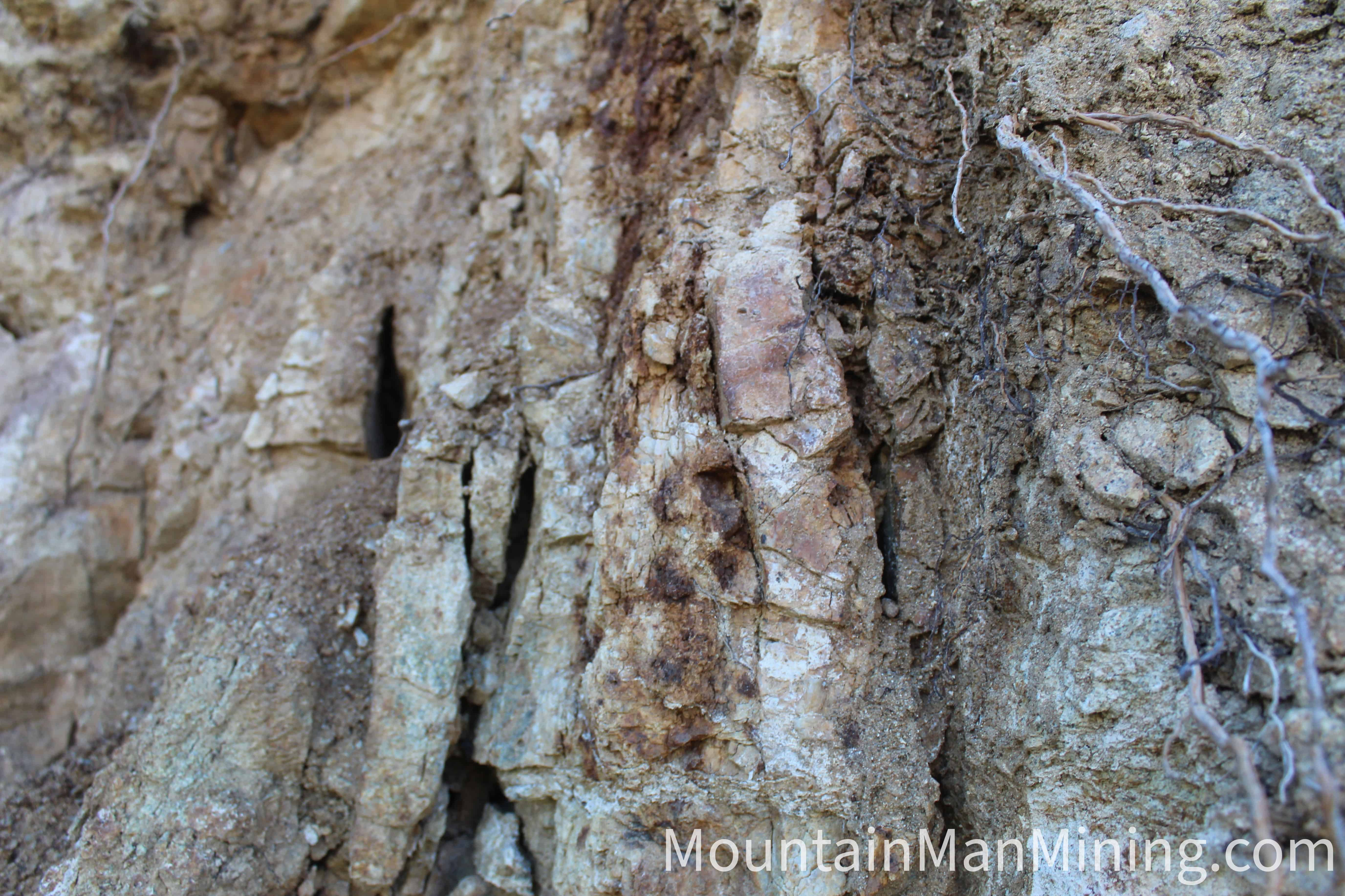
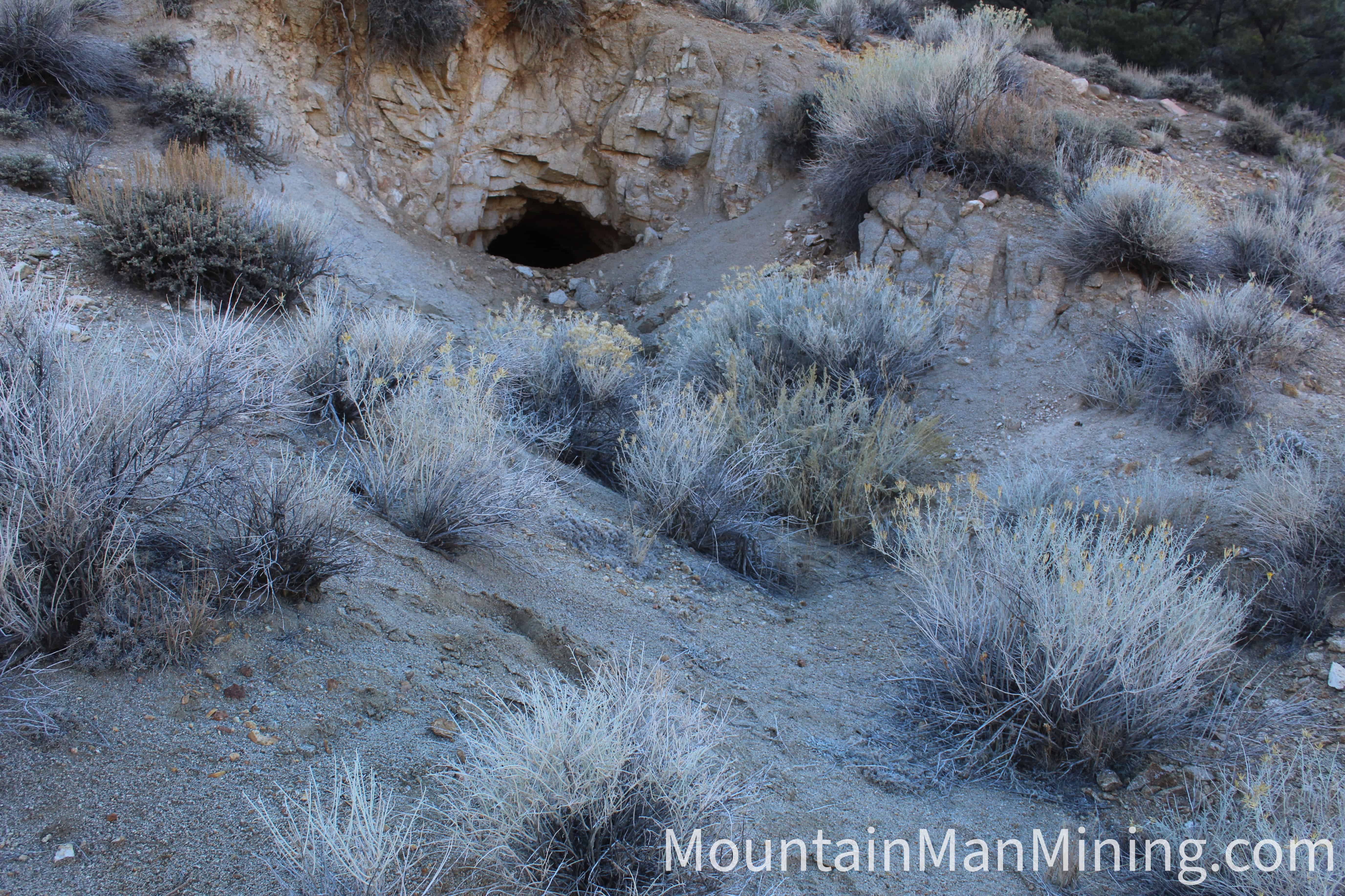
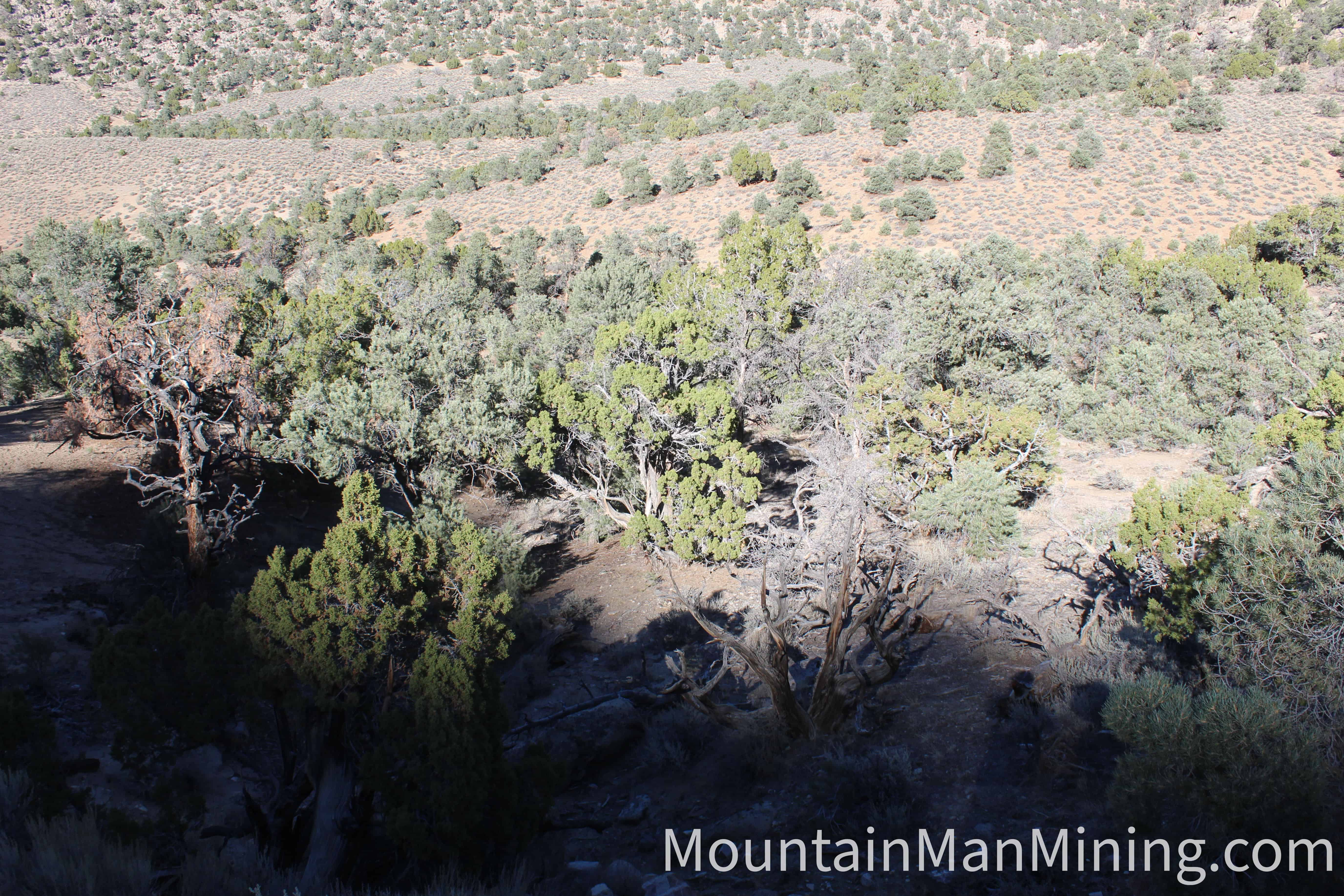
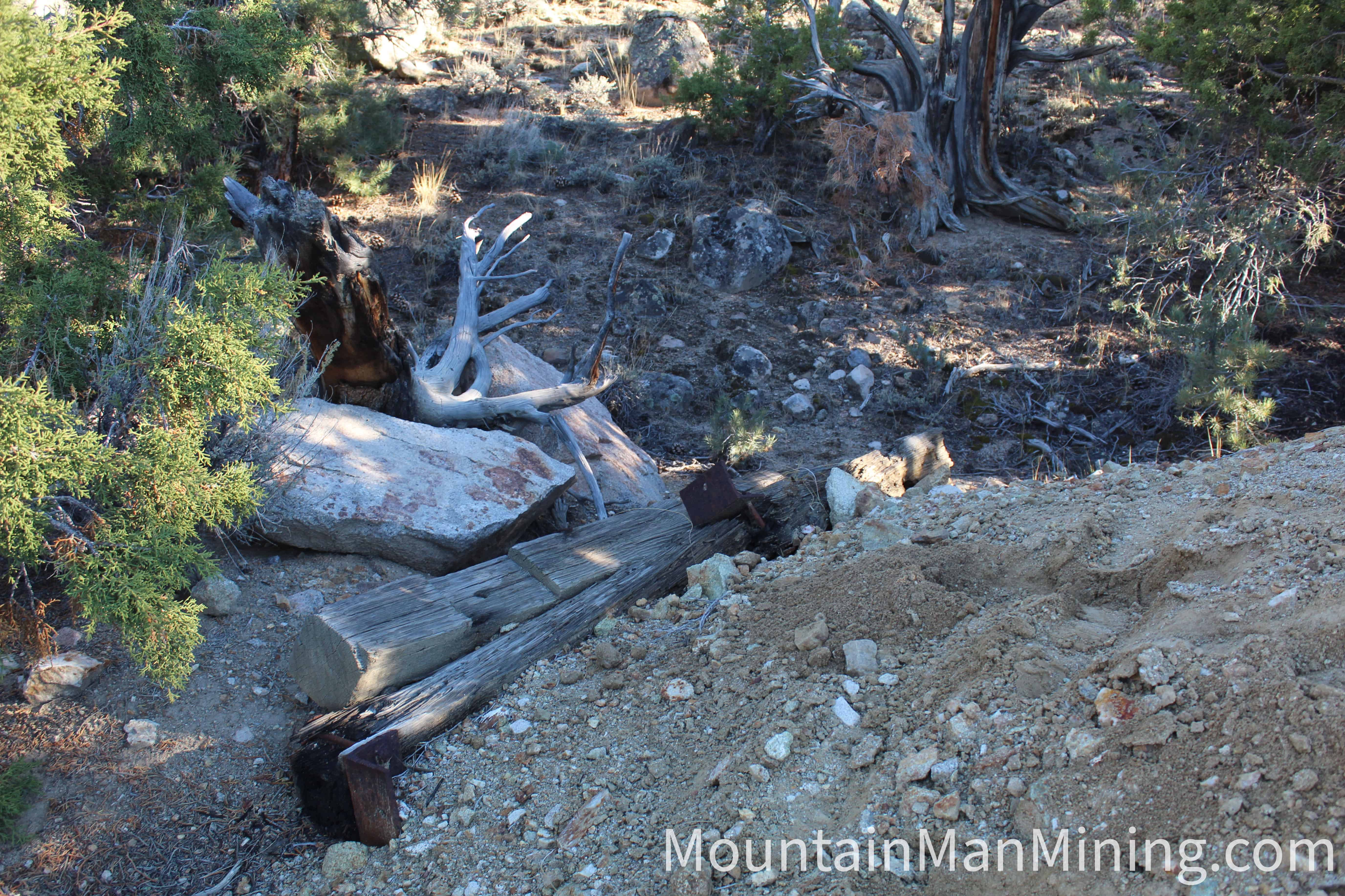
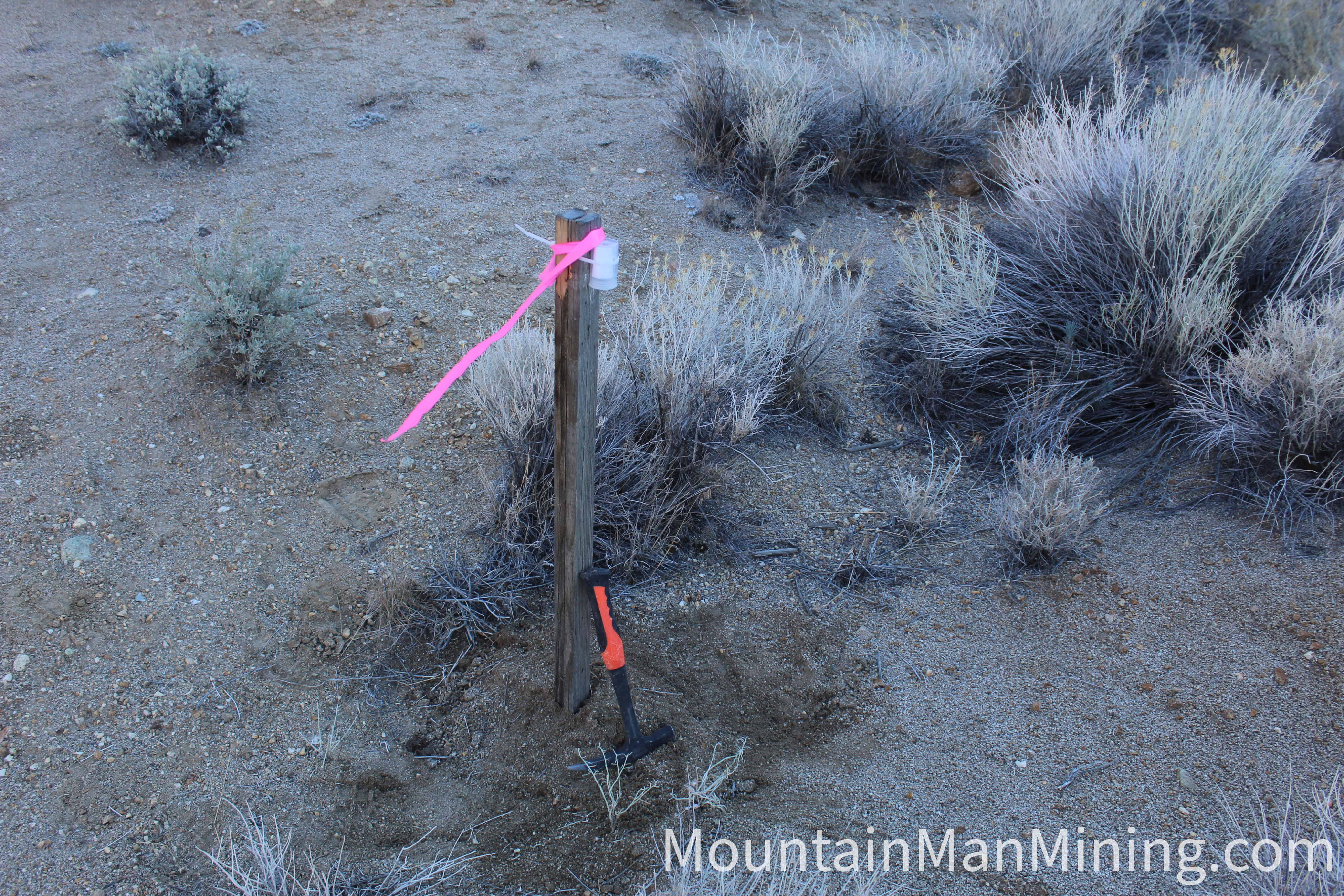
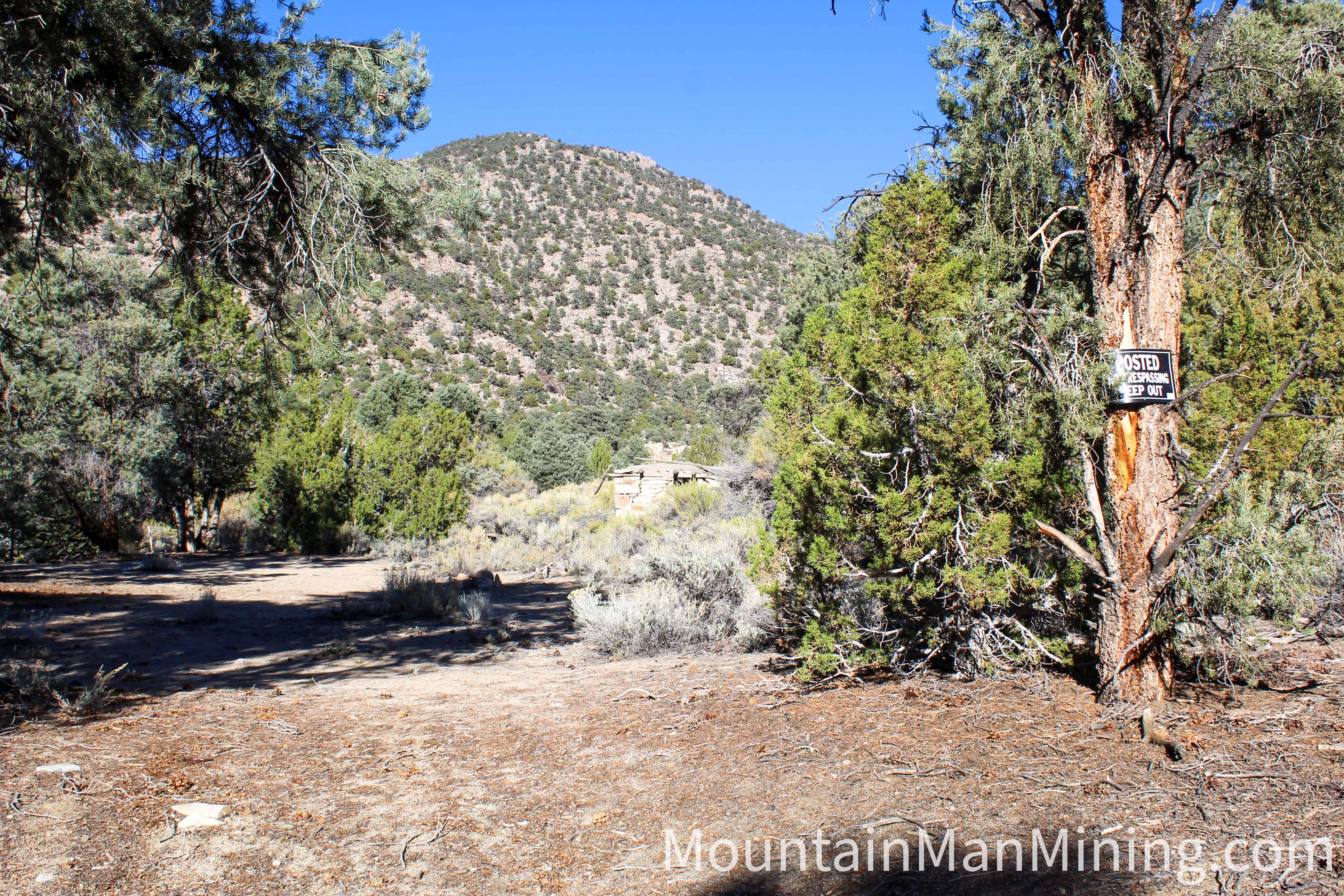
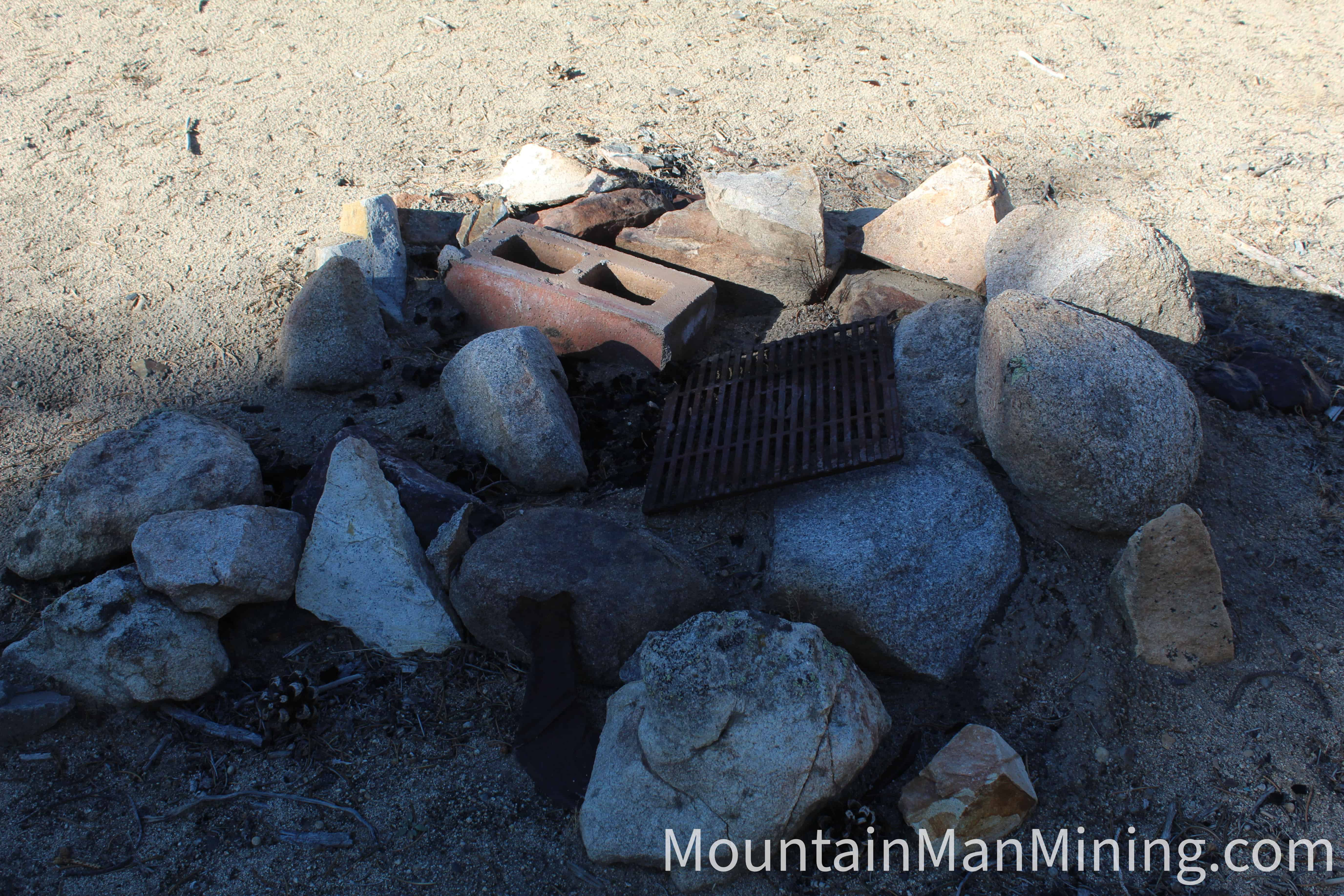
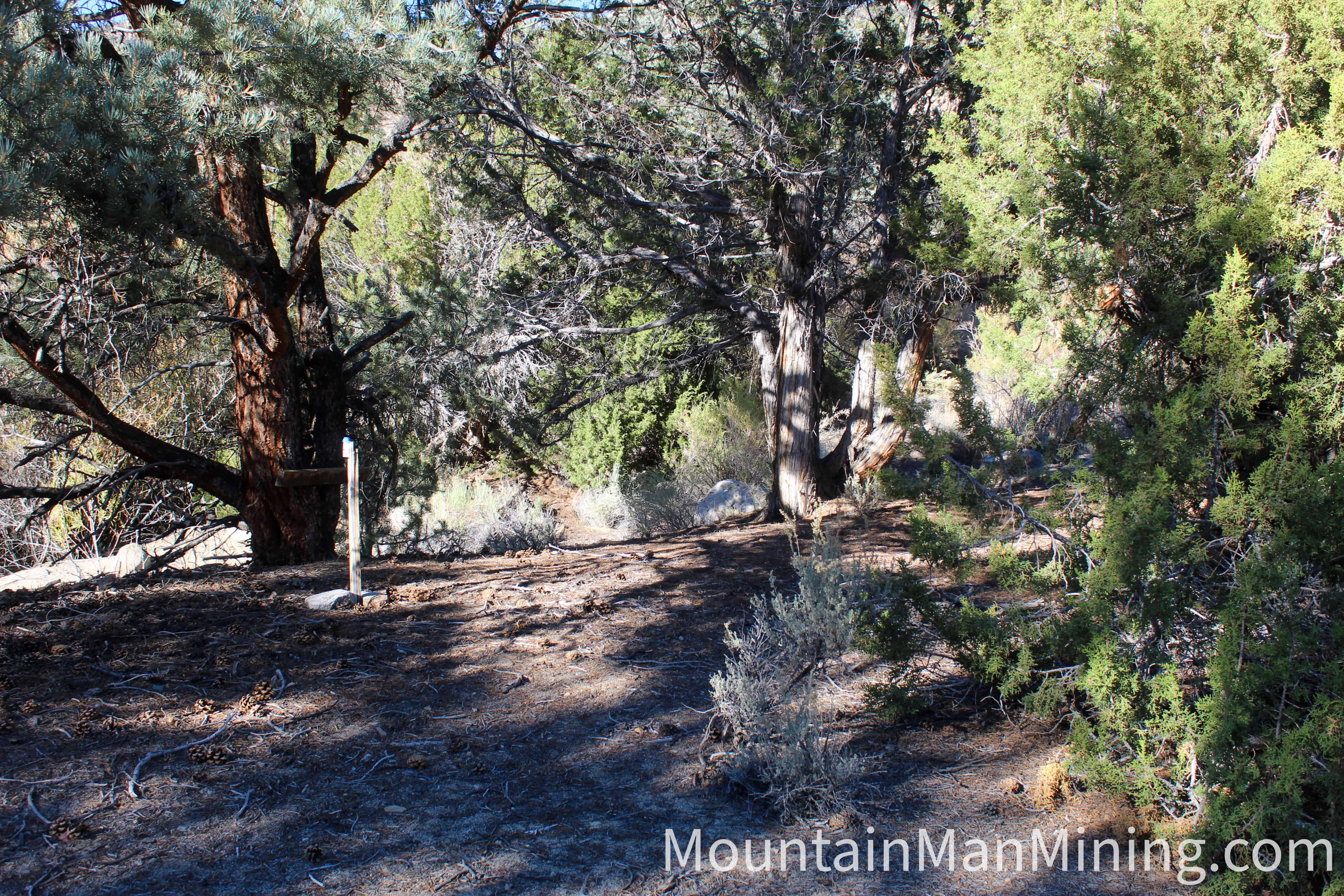
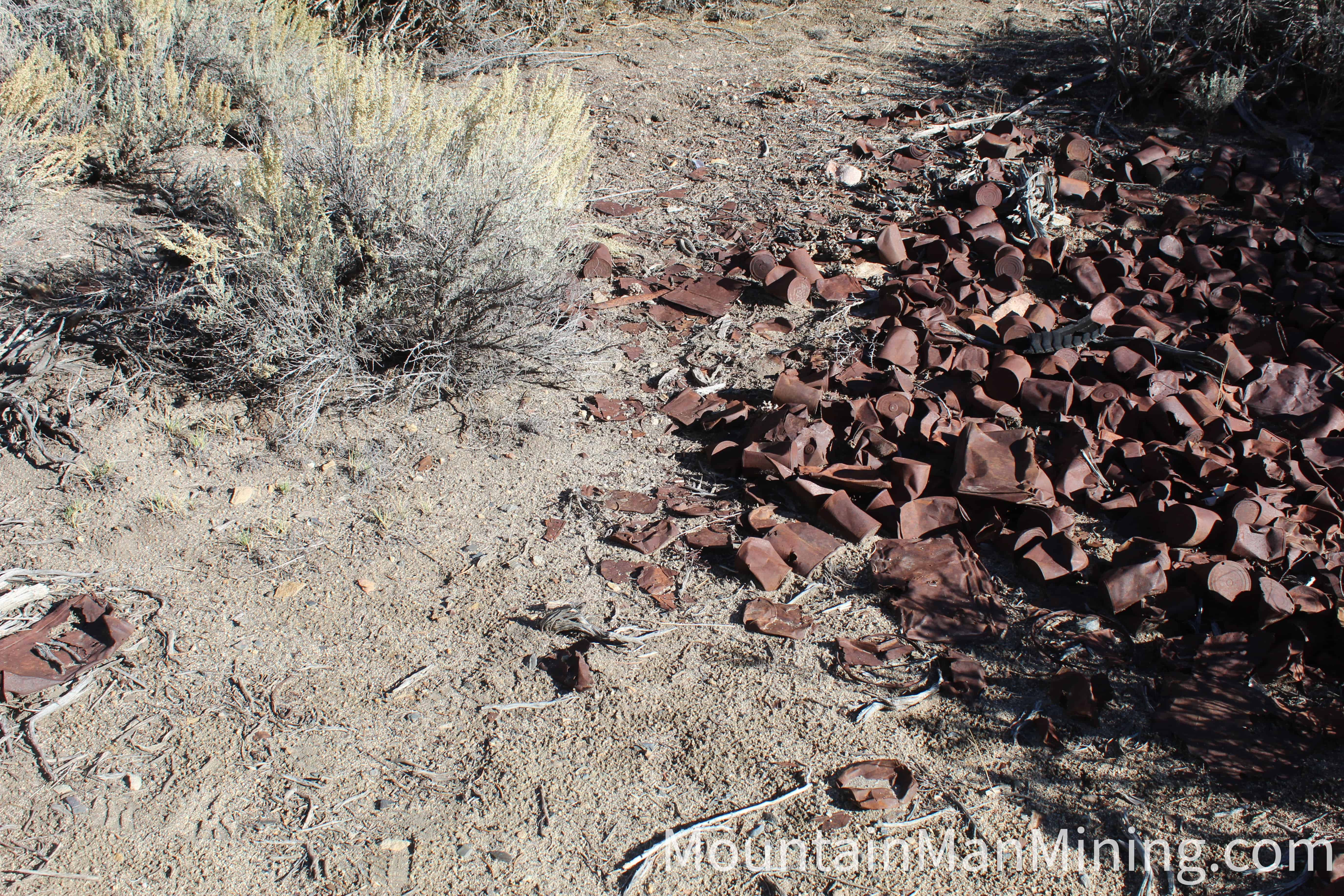
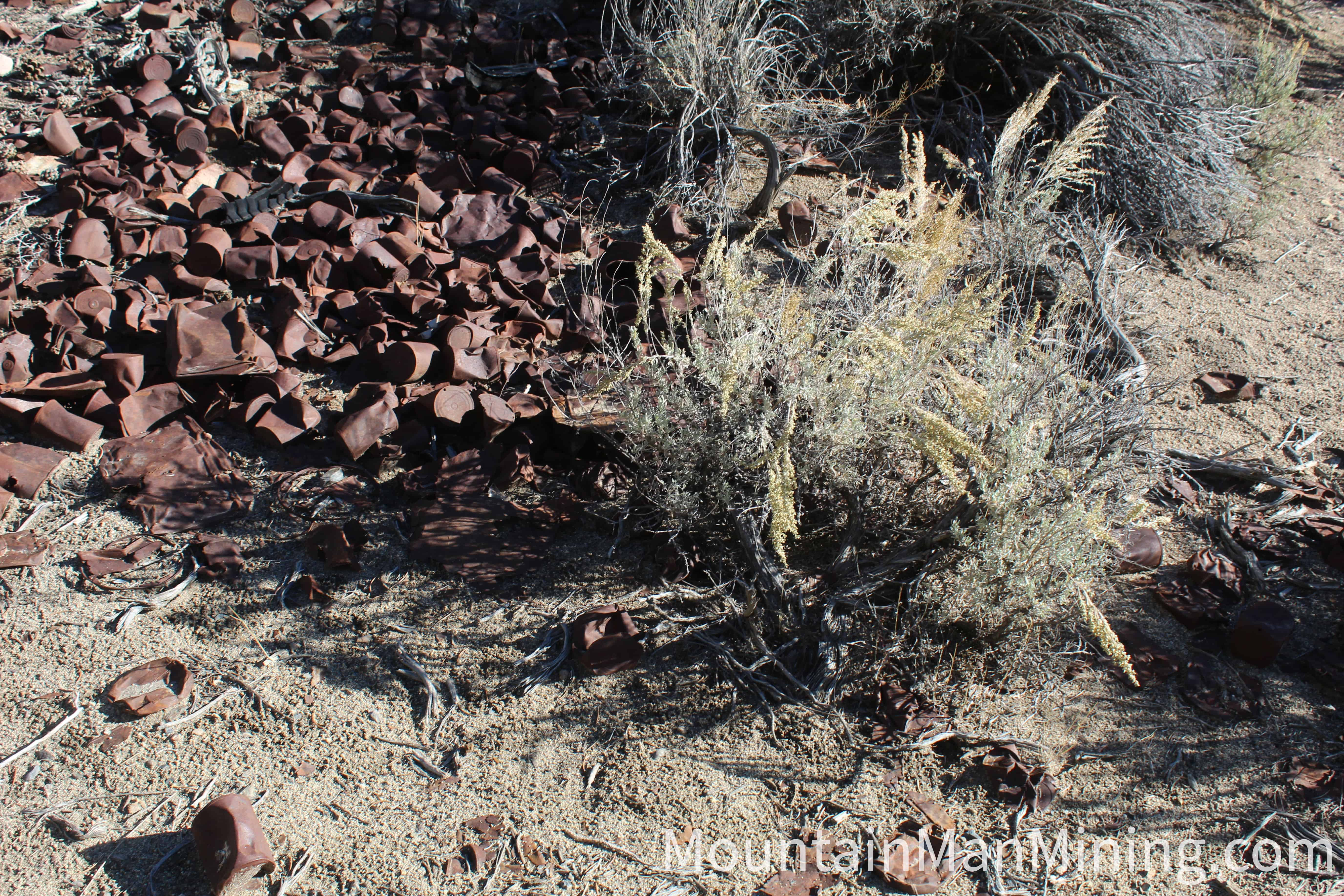
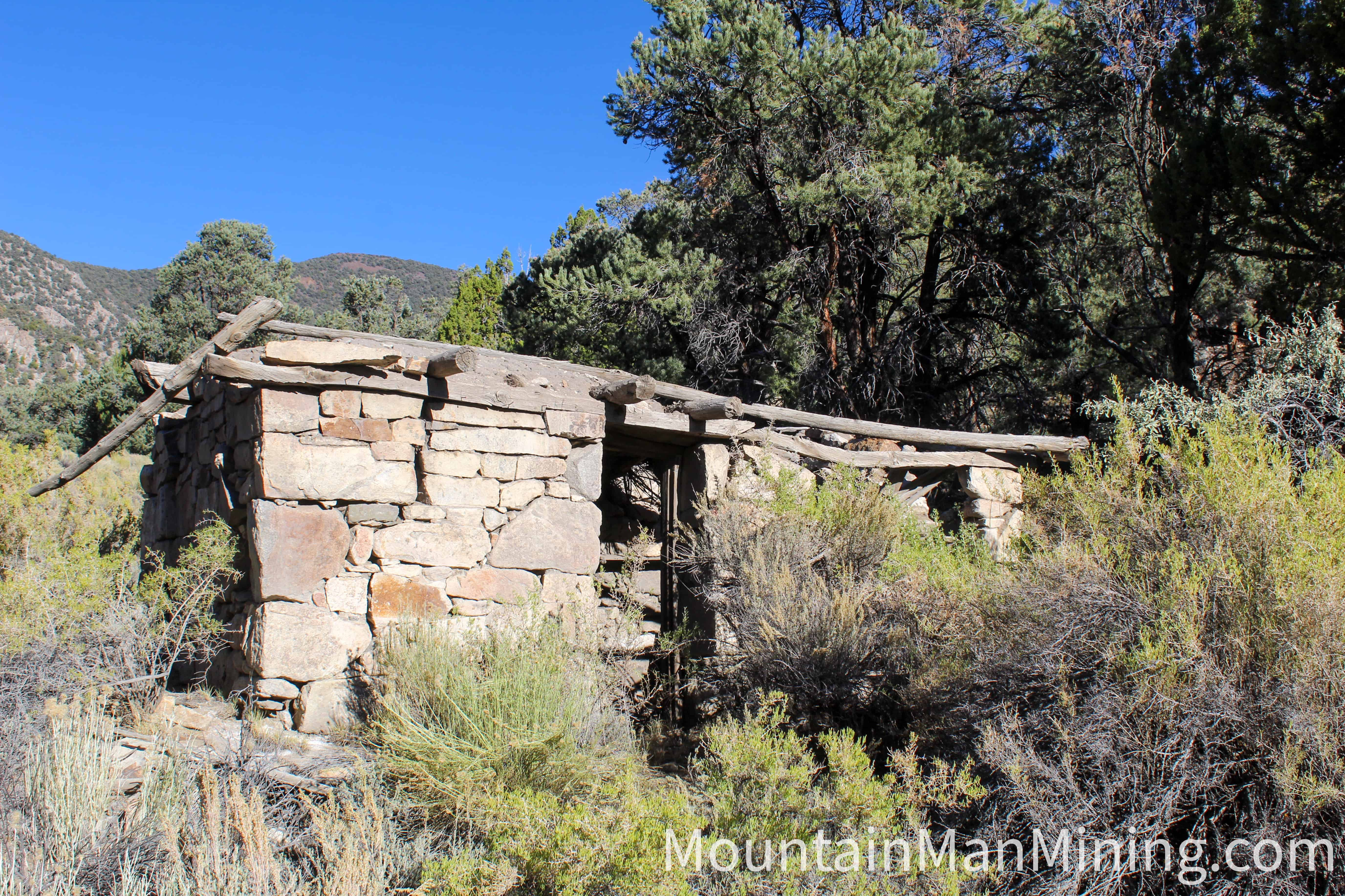
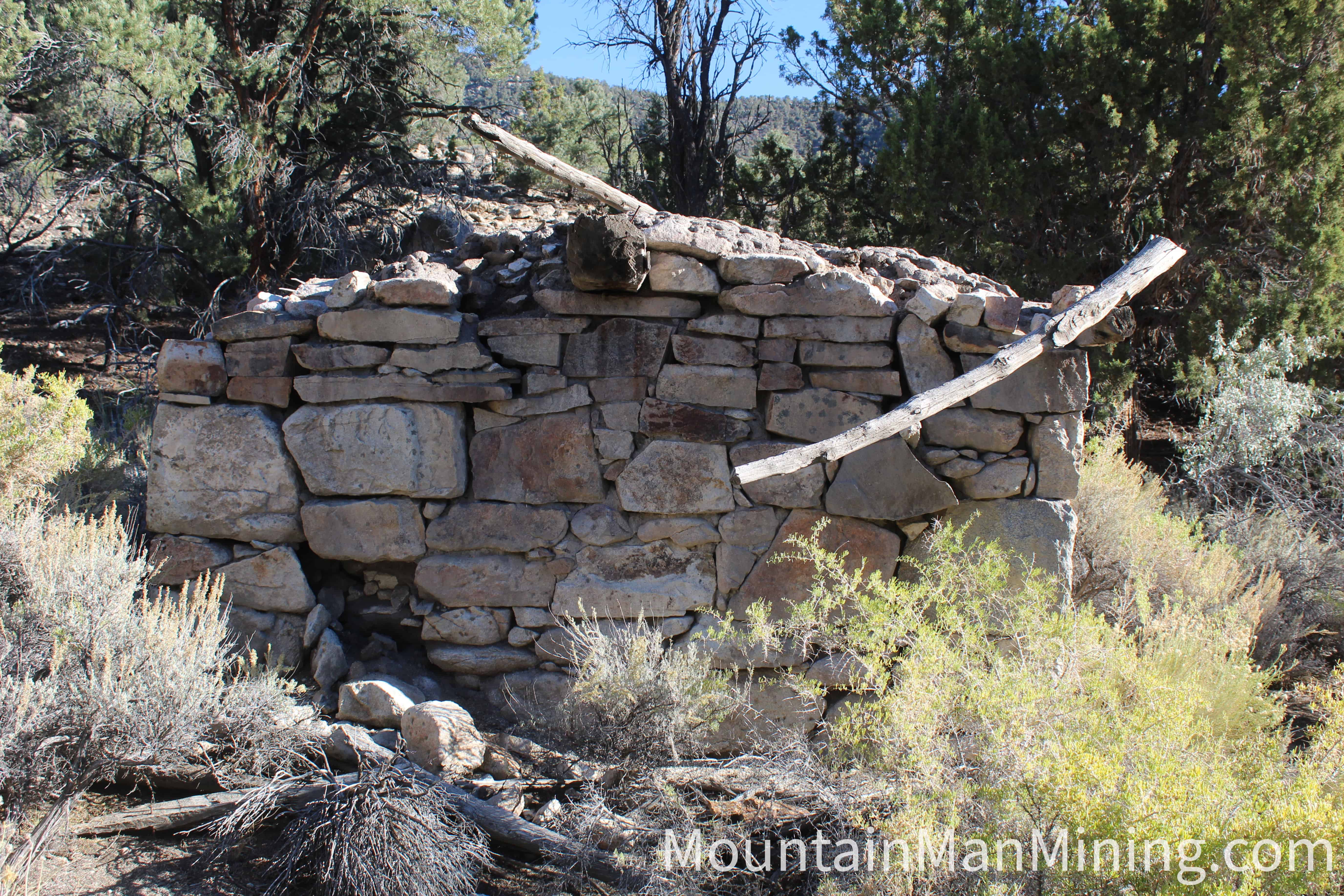
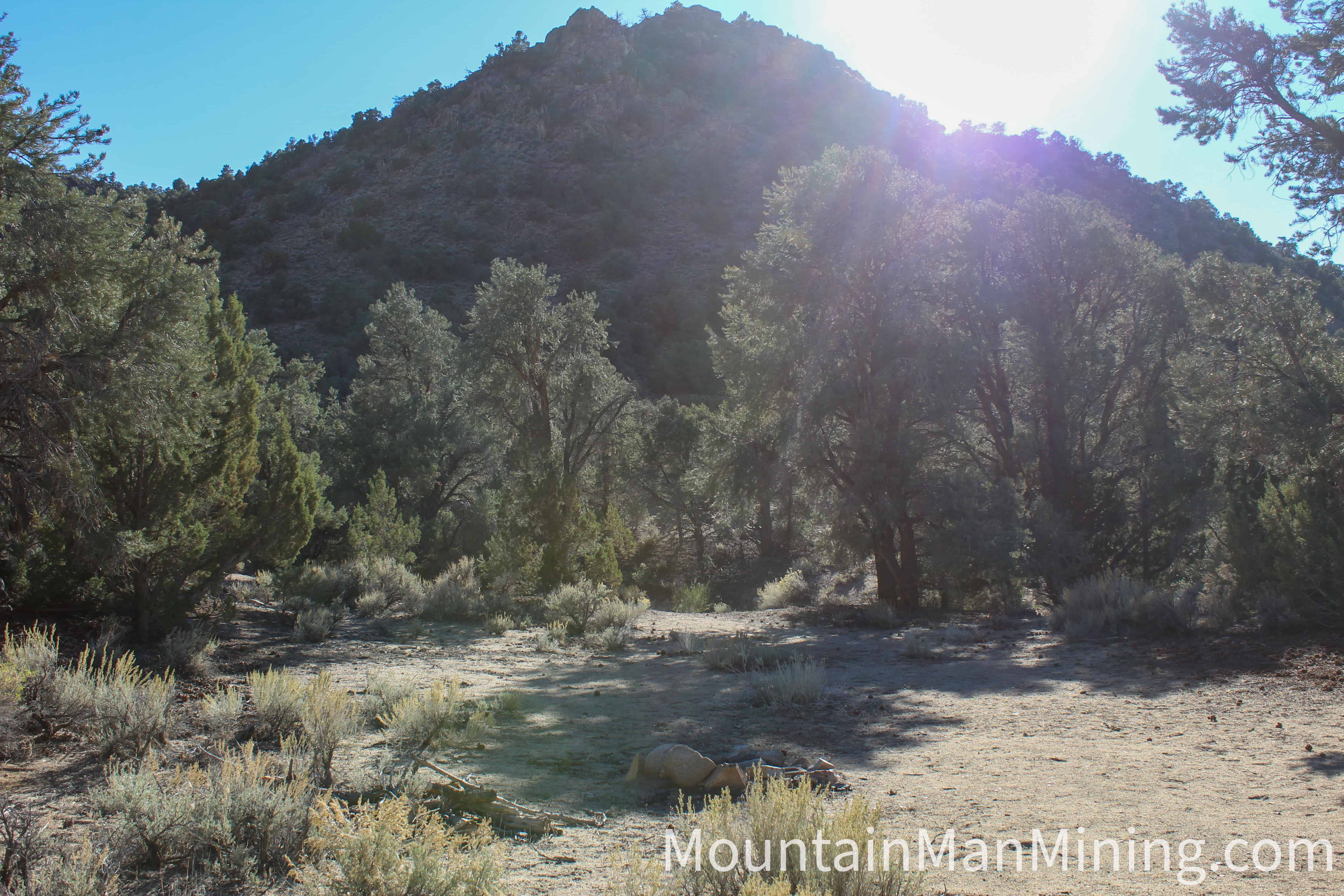
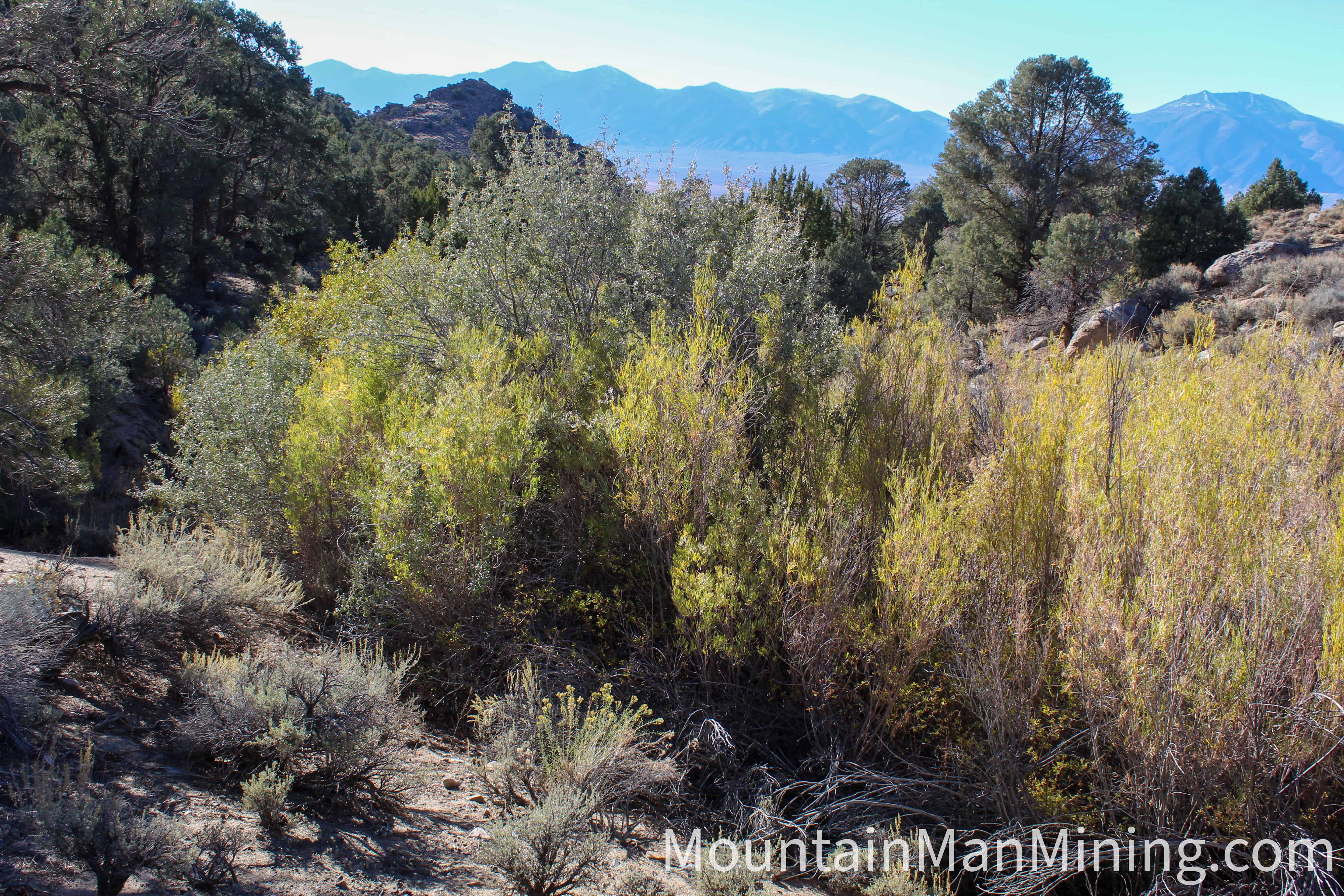
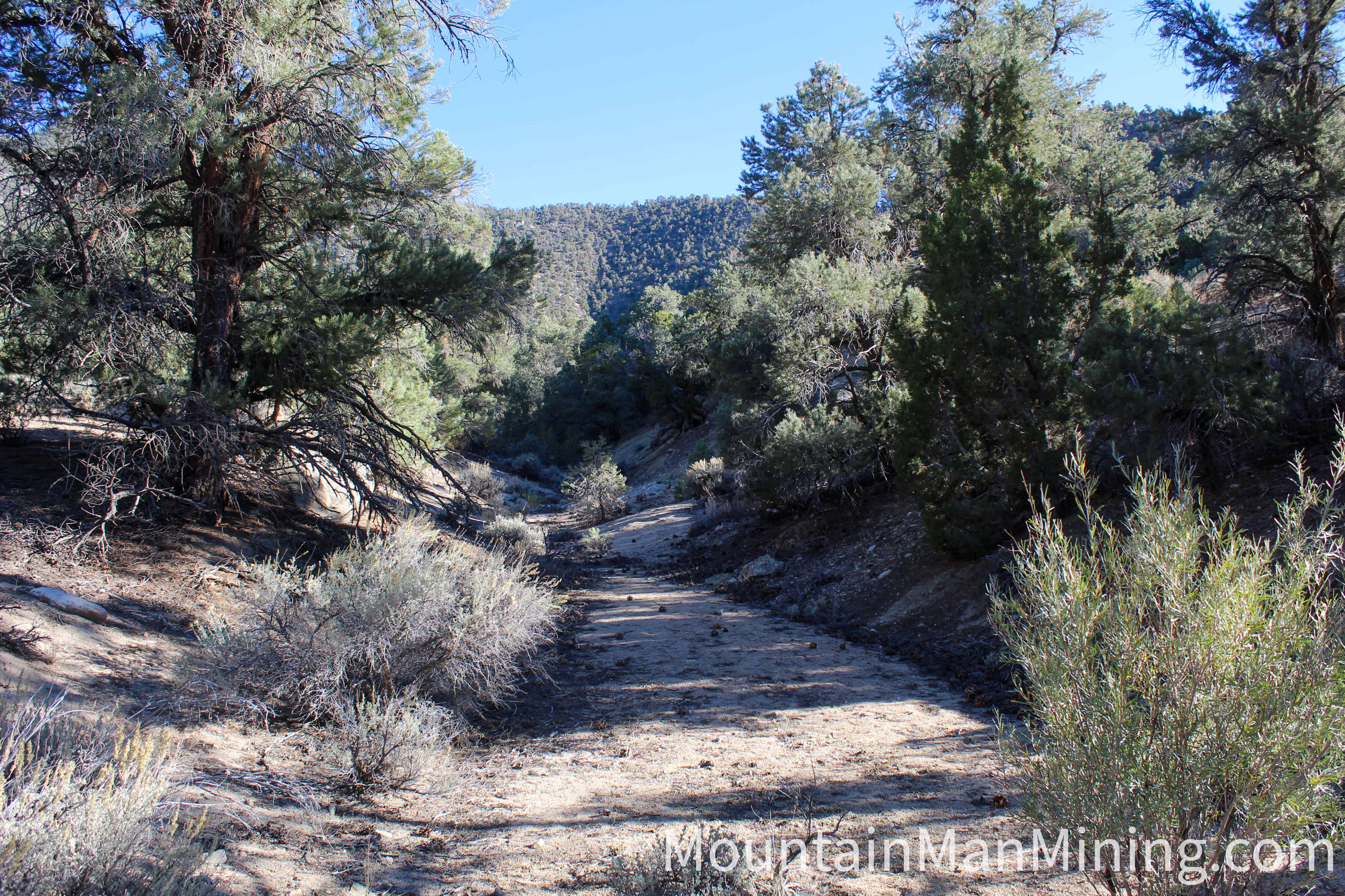
Photographs © Mountain Man Mining. Historic descriptions of the workings from NBMG Open-File Report 83-8 (Tingley & Maldonado, 1983).
Claim boundaries taken directly from the recorded Google Earth KMZ (WGS 84).
| NE | 39.159051°, -116.882315° |
|---|---|
| NW | 39.158449°, -116.884284° |
| SE | 39.155239°, -116.880347° |
| SW | 39.154635°, -116.882276° |
The claim is a full-size lode block, 1,500 feet long by 600 feet wide, laid with its long axis bearing about N 22° W so that it follows the vein trend rather than the section lines. The discovery monument stands at the south end beside the twin adits; the large shaft sits mid-claim on the west side, and the old stone cabin is at the north end. All four points of interest are marked in the KMZ.
| Discovery monument | 39.155223°, -116.881352° |
|---|---|
| Twin adits | 39.155172°, -116.881489° |
| Large shaft | 39.156832°, -116.882918° |
| 19th-century cabin | 39.158625°, -116.882588° |
| Operation type | Lode |
|---|---|
| Development status | Past Producer (USGS MRDS classification) |
| Commodity type | Gold, Silver, Copper |
| Recorded assay | Dump sample, easternmost adit: 1.12 oz/ton Au, 5.23 oz/ton Ag, >4% Cu (NBMG field examination, 1980–81; USGS MRDS) |
| Discovery year | 1941 (USGS MRDS); prospected from the late 1800s |
| District Name | Northumberland District, Nye County (Clipper Gap area; also referenced to the Spencer Hot Springs district) |
|---|---|
| Deposit MAS/MILS ID |
Enriquez Prospect / Long Pick — MRDS #10044323 Northumberland Mine (district reference) — MRDS #10310362 Spencer Hot Springs (district reference) — MRDS #10173818 |
| Type of Structure | Jurassic Clipper Gap pluton (151 ± 3 Ma) intruding Ordovician Vinini Formation chert and shale |
|---|---|
| Structure Description |
Igneous > Plutonic > Biotite quartz monzonite with granodiorite, granite and crosscutting aplite/alaskite dikes Ore control — steep N–S and N 20° W shear zones; vein-filled fissures Ore materials — chalcopyrite, tetrahedrite, bornite, chalcocite, pyrite; malachite, azurite, tenorite, goethite in the oxide zone Gangue — banded vuggy quartz, black tourmaline (schorl) |
A mining claim gives the holder the right to mine on mineral-rich land that belongs to the federal government. Mining claims are a tangible asset and show proof of all interests in minerals in the area. They can be bought, sold or used as collateral, just like any other piece of real estate.
A mining claim can be sold, traded, leased, gifted, willed, used as collateral or transferred in part or in its entirety just like any other real property using a quitclaim deed which is a recordable conveyance. Questions about the transfer process can be answered by contacting us anytime. All fees and paperwork are current; the first annual BLM maintenance payment comes due in 2027.
$9,500
Cash Price
Make a one time payment and get new mineral rights transferred in your name quick and easy.
Buy Online NowHave questions? Want to walk the vein before you commit? Make an offer on The Enriquez.
After your purchase is complete you will be requested to fill out our new claim owner form with your name/address or add any additional claimants you want on the claim.
You’ll get digital copies of your COL and Map of Location delivered via email in PDF format, as well as a Google Earth™ KMZ map file with your claim’s discovery monument, corners, the adits, the large shaft and the old cabin marked.
We handle all the filing and transfer services on your behalf. Expect to get official stamped/recorded copies of your paperwork mailed to you from the Nye County Recorder’s Office and the Nevada Bureau of Land Management officiating you as the new claimant within 45 days of purchase. Then officially enjoy mining gold on your own land!
The Enriquez is one 20.66-acre unpatented lode mining claim on the west flank of the northern Toquima Range in the historic Northumberland District of Nye County, Nevada. The district has been producing silver and gold since 1866, and this particular showing carried ounce-plus gold on the dump when the state sampled it in 1981.
Primary and secondary commodities on this claim include:
The vein quartz is banded and vuggy, stained green and blue with malachite and azurite, and carries clots of pyrite, chalcopyrite and silver-bearing tetrahedrite with bornite and chalcocite reported alongside. Black tourmaline bands the quartz at the shaft. The gold-to-silver ratio in the recorded assay, about one to five, matches that tetrahedrite-chalcopyrite mix — the metals are riding together in one structure.
The Enriquez lies in the central basin of the Clipper Gap pluton, a Jurassic granite stock that pushed up through the ocean-floor chert and shale of the Vinini Formation on the western slope of the Toquima Range. The claim area is characterized by:
One claim, laid down the vein, gives you the shaft, both adits and the stringer zone in a single block. The ground suits a hard-rock prospector with a rock saw and a sample bag just as well as a small operator planning a channel-sampling program on the open strike — and no exploration company has ever put a drill on it.
Silver was found at the head of East Northumberland Canyon in 1866 by a prospector named Logan, and the district that grew up around it likely took its name from the English county one of the early miners hailed from. Ore went by wagon to Austin until the Quintero Company hauled in a ten-stamp mill from San Antonio in October 1868; a 100-ton cyanide mill followed in the 1908 revival. Gold was discovered in 1936 and the Northumberland Mining Company ran an open pit and a 325-ton mill until the War Production Board shut gold mines nationwide in 1942.
Cyprus and Amoco brought the deposit back as one of Nevada’s early heap leaches in 1981, Western States Minerals ran it through 1991, and Newmont picked up the project in 2011. Today’s district stretches north from the old camp to the Lander County line, taking in the Clipper Gap pluton and the Enriquez. In October 2026 StrikePoint Gold closed its purchase of Northumberland from Newmont and said drilling would begin within a month.
The Enriquez sits squarely in that district, on a vein the state already assayed at better than an ounce, with the next chapter of central Nevada gold being written ten miles down the ridge.
Satellite view of the claim area. Click the pin for a quick summary.
Boundaries show the claim laid N 22° W along the vein trend, with the discovery monument and twin adits at the south end, the large shaft mid-claim, and the 19th-century stone cabin at the north end.
Explore other active lode and placer claims.
Every claim currently for sale, sorted by price. Tap a name to open the full listing.
| Claim | Price | Commodity | County / State | Acreage |
|---|---|---|---|---|
| The Virginia Lynn | $1,000,000 | Silver, Gold, Copper +4 | Dolores County, Colorado | 87.64 |
| The Sedona Legend & Sunrise Claims | $71,980 | Gold | Yavapai County, Arizona | 80 |
| Mountain View Tungsten Project | $65,000 | Tungsten, Copper | Lyon County, Nevada | ~140 |
| Ophy I-V Claims | $41,250 | Gold, Silver, Copper | Boise County, Idaho | 79.35 |
| Sunny Side Up #1-2 | $21,500 | Gold, Silver | Southeast Fairbanks, Alaska | 80 |
| Boulder #2 & #3 | $15,000 | Gold, Silver | Boise County, Idaho | 41.32 |
| The Winna-Winner Claims | $10,000 | Gold, Silver, Iron +2 | Humboldt County, Nevada | 40 |
| Belcher Canyon | $9,997 | Gold | Nye County, Nevada | 20 |
| The Enriquez you’re here | $9,500 | Gold, Silver, Copper | Nye County, Nevada | 20.66 |
| The Golden Trinity Claim | $8,000 | Gold, Platinum, Silver | Trinity County, California | 20 |
| Marigold #1 | $7,500 | Gold, Silver | Yavapai County, Arizona | 20 |
| Ayers Claim | $6,500 | Gold, Silver | Sierra County, California | 20 |
| The Eureka Comstock Placer | $5,000 | Gold, Copper, Silver | Washoe County, Nevada | 20 |
Prices and availability change as claims sell. Ask about any of these or see what has already sold.