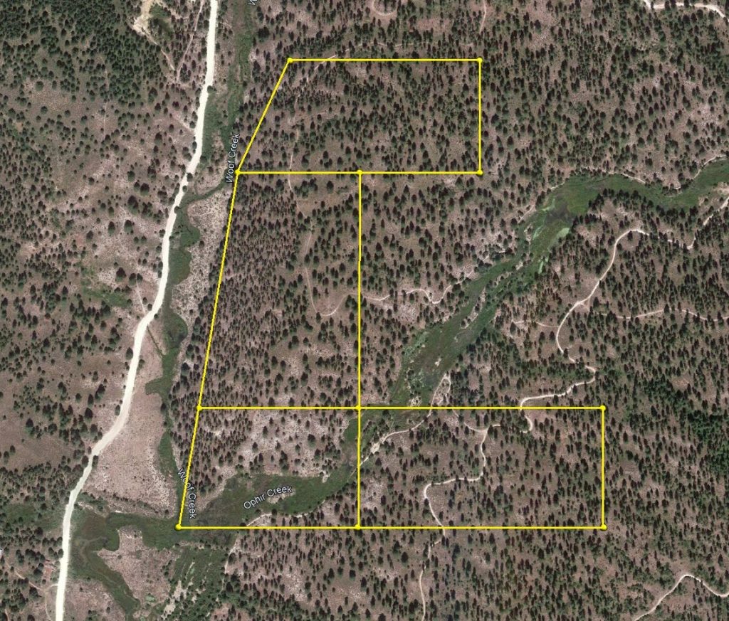
 Placer
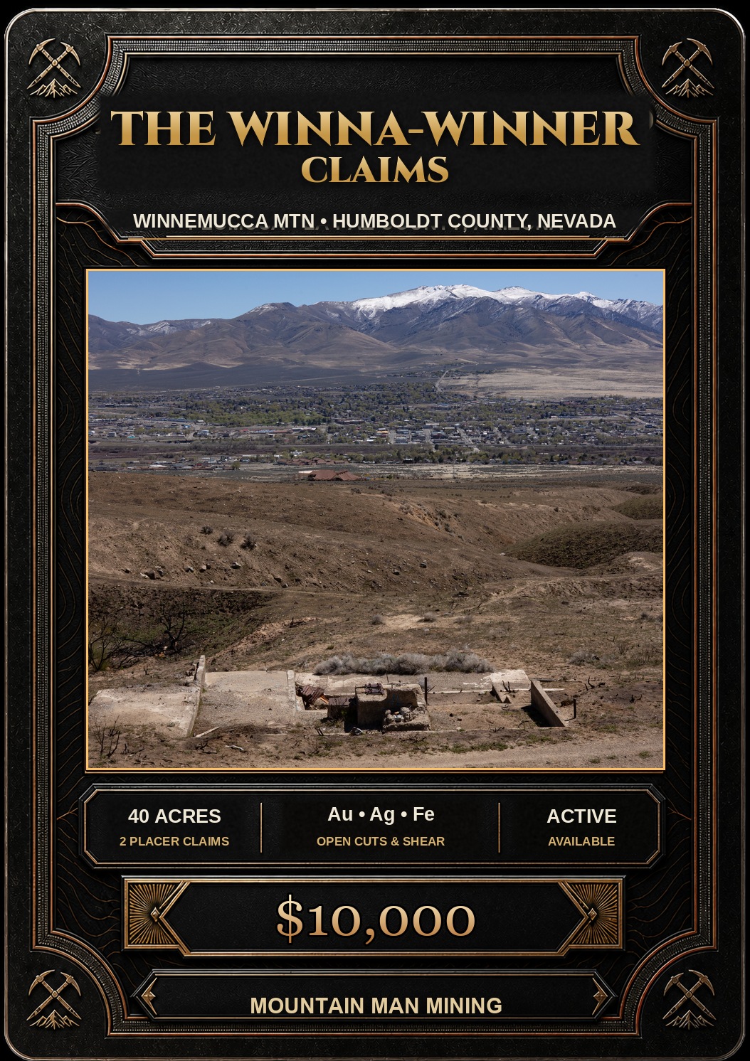
The Winna-Winner Claims
📍 Humboldt County, Nevada
- Au
- Ag
- Fe
$10,000
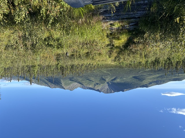
80-Acre Alaska State Gold Claim Group · Delta River Mining District · Southeast Fairbanks, Alaska
$21,500
State of Alaska recording and transfer fees included. Claims paid through 2029.
Satellite view centered between the two claim blocks. Click the pin for a quick summary.
Approximate claim centers shown on satellite imagery, computed from the published aliquot legal descriptions — Sunny Side Up #1 (ADL 620950) and Sunny Side Up #2 (ADL 620951).
80 Contiguous Acres in Alaska's Tintina Gold Province
The Sunny Side Up #1 and #2 sit roughly thirteen miles southeast of Delta Junction, on the north-facing foothills of the eastern Alaska Range between Jarvis Creek and the Gerstle River. This is road country — the Richardson and Alaska Highways both run close by, so getting here doesn't mean chartering a bush plane.
Eighty contiguous acres, two 40-acre quarter-quarter sections joined along the Section 27/28 line, forming one unbroken block. The claims sit inside the Tintina Gold Province, the belt that also hosts Fort Knox and Pogo. Pogo itself is about forty-five miles north-northeast of here — a mine that produced 5.5 million ounces of gold in its first twenty years and still carries a resource of roughly 6.7 million ounces grading better than ten grams per tonne.
What sets this ground apart from a bare claim stake is the cabin. A permitted structure with a wood stove, kitchen, propane hookups, an accessibility ramp, an outhouse, and an existing shaft all convey with the sale — more on that below.
The bedrock here belongs to the Yukon-Tanana terrane — specifically a slice geologists call the Jarvis Creek Glacier subterrane. About 380 million years ago this was a chain of volcanic islands, complete with hot springs venting metal-rich fluid onto the seafloor. That's the setting that builds gold deposits, and it's the same terrane hosting the district's known production.
Lower McCumber Creek carries some 580,000 cubic yards running 0.0079 ounces of gold per cubic yard, and lower Morningstar Creek holds 128,000 cubic yards at 0.019 ounces per yard — both documented placer occurrences in the same district. Proximity to the Granite Mountain pluton and the tin-bearing Gerstle River granite pushes the district's mineral inventory past gold and silver into copper, lead, zinc, tin, and tungsten.
Gold averaged $3,431 an ounce in 2025, a 43 percent jump over the year before.
The government data on this ground is newer than most: DGGS and the Earth MRI program have both flown and sampled this area in the last few years, and that data is free and public — no need to pay a geologist to piece it together before you start.
| Type of Claim | Alaska State Mining Claims (MTRSC) — two 40-acre quarter-quarters |
|---|---|
| Claim Numbers | ADL 620950 (Sunny Side Up #1) ADL 620951 (Sunny Side Up #2) |
| Originally Located | 2015 — held continuously since |
| Fees Paid Through | 2029 |
| Legal Description | NE¼SE¼ Sec. 28 & NW¼SW¼ Sec. 27, T12S, R12E, Fairbanks Meridian |
| Size of Claim | 80 Acres (2 × 40) |
| Mining Commodities | Gold, Silver — district also carries Copper, Lead, Zinc, Tin, Tungsten |
| Accessibility | Highway corridor plus secondary road and trail access |
| Closest City | Delta Junction, Alaska (≈13 miles) |
| USGS Quadrangle | Mount Hayes D-3 |
| Recording District | Fairbanks Recording District |
| Camping | Yes, per State of Alaska land-use rules |
| Improvements | Permitted cabin, outhouse, propane hookups, accessibility ramp — all convey with the claims |
| Prior Workings | Shaft of unrecorded depth |
| Cell Phone Reception | Good near the highway corridor, limited off it |
| Type of Deposit | Lode & placer potential |
| Best Season | June – September |
| Sunny Side Up #1 — ADL 620950 | NE¼SE¼, Sec. 28, T12S, R12E, F.M. — 40 acres |
|---|---|
| Sunny Side Up #2 — ADL 620951 | NW¼SW¼, Sec. 27, T12S, R12E, F.M. — 40 acres |
| Configuration | Contiguous, sharing the Section 27/28 line |
| Sunny Side Up #1 | 63.8490°, -145.4321° |
|---|---|
| Sunny Side Up #2 | 63.8490°, -145.4239° |
Note: coordinates mark the approximate center of each aliquot parcel, not a certified corner survey. See the interactive map above for a satellite view.
| Operation Type | Lode & placer exploration |
|---|---|
| Development Status | Exploration ground — undrilled |
| Commodity Type | Gold, Silver, Copper, Lead, Zinc, Tin, Tungsten |
| Deposit Size | Undetermined |
| District Name | Delta River Mining District, Southeast Fairbanks Census Area |
| Regional Deposits | Pogo Mine — ≈45 mi NNE Richardson District — ≈35 mi NW Delta VMS Belt — ≈40 mi ESE Manh Choh Mine — ≈90 mi ESE |
| Host Terrane | Yukon-Tanana Terrane — Jarvis Creek Glacier subterrane |
|---|---|
| Major | Metamorphic > Schist > Metavolcanic (metaandesite, quartz keratophyre) Metamorphic > Schist > Metasedimentary (pelitic schist, quartzite, calc-schist, marble) |
| Minor | Igneous > Plutonic > Granodiorite / tonalite / granite (Cretaceous–early Tertiary) Surficial > Glacial drift, loess, outwash gravels |
Most claims sell as raw ground. This one comes with a permitted cabin already on site — wood stove, kitchen, interior storage and work space, propane hookups, an accessibility ramp, and an outhouse. There's also an existing shaft of unrecorded depth, useful for sampling access without breaking new ground on day one.
A seven-step approach for anyone working this claim for the first time:
An Alaska state mining claim gives the holder the right to mine state-owned mineral land. Like a federal unpatented claim, it's a tangible asset — it can be bought, sold, traded, leased, gifted, willed, used as collateral, or transferred in part or in its entirety using a quitclaim deed, a recordable conveyance. Questions about the transfer process can be answered by contacting us anytime.
Transfer runs through the Alaska Department of Natural Resources rather than the BLM — recording happens in the Fairbanks Recording District, and the claims are already paid through 2029, so there's no near-term annual fee to budget for.
$21,500
Cash Price
Make a one-time payment and get the claims, and the cabin, transferred into your name.
Buy Online NowHave questions? Concerns? Make an offer on the Sunny Side Up #1-2.
After your purchase is complete, you'll be asked to fill out our new claim owner form with your name and address. We handle the Alaska DNR filing and transfer paperwork on your behalf, and you'll receive stamped, recorded copies confirming you as the new claimant, typically within 2–3 weeks of purchase.
Explore more verified mining claims across the American West.
Every claim currently for sale, sorted by price. Tap a name to open the full listing.
| Claim | Price | Commodity | County / State | Acreage |
|---|---|---|---|---|
| The Virginia Lynn | $1,000,000 | Silver, Gold, Copper +4 | Dolores County, Colorado | 87.64 |
| The Sedona Legend & Sunrise Claims | $71,980 | Gold | Yavapai County, Arizona | 80 |
| Mountain View Tungsten Project | $65,000 | Tungsten, Copper | Lyon County, Nevada | ~140 |
| Ophy I-V Claims | $41,250 | Gold, Silver, Copper | Boise County, Idaho | 79.35 |
| Sunny Side Up #1-2 you’re here | $21,500 | Gold, Silver | Southeast Fairbanks, Alaska | 80 |
| Boulder #2 & #3 | $15,000 | Gold, Silver | Boise County, Idaho | 41.32 |
| The Winna-Winner Claims | $10,000 | Gold, Silver, Iron +2 | Humboldt County, Nevada | 40 |
| Belcher Canyon | $9,997 | Gold | Nye County, Nevada | 20 |
| The Golden Trinity Claim | $8,000 | Gold, Platinum, Silver | Trinity County, California | 20 |
| Marigold #1 | $7,500 | Gold, Silver | Yavapai County, Arizona | 20 |
| Ayers Claim | $6,500 | Gold, Silver | Sierra County, California | 20 |
| The Eureka Comstock Placer | $5,000 | Gold, Copper, Silver | Washoe County, Nevada | 20 |
Prices and availability change as claims sell. Ask about any of these or see what has already sold.