 Placer
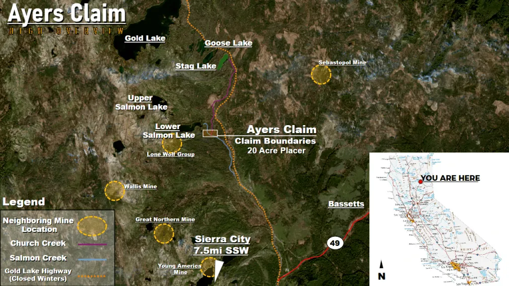
Ayers Claim
📍 Sierra County, California
- Au
- Ag
$6,500
1 Placer Mining Claim · 20 Acres · Freds Mountain District · Washoe County, Nevada
SOLD
This claim has sold and is no longer available. Want ground like this? Join the notification list and we’ll tell you when similar claims are listed.
Historic Copper-Gold Workings on the East Face of Freds Mountain
The Comstock-Eureka placer claim is a 20-acre claim in Washoe County, Nevada, set on the eastern flank of Freds Mountain about 18 miles north of downtown Reno. The block is laid out east-west across the ravine that drains the mountain’s trenched and tunneled hillside, with the discovery monument planted at its western end and the whole 1,320-by-660-foot parcel taking in the gravels below the workings. It sits in Township 22 North, Range 19 East, in the Freds Mountain Mining District, a small copper-gold camp that the Nevada Bureau of Mines and Geology inventoried in its 1969 Washoe County bulletin and again in its 1990 mineral survey for the BLM Carson City District.
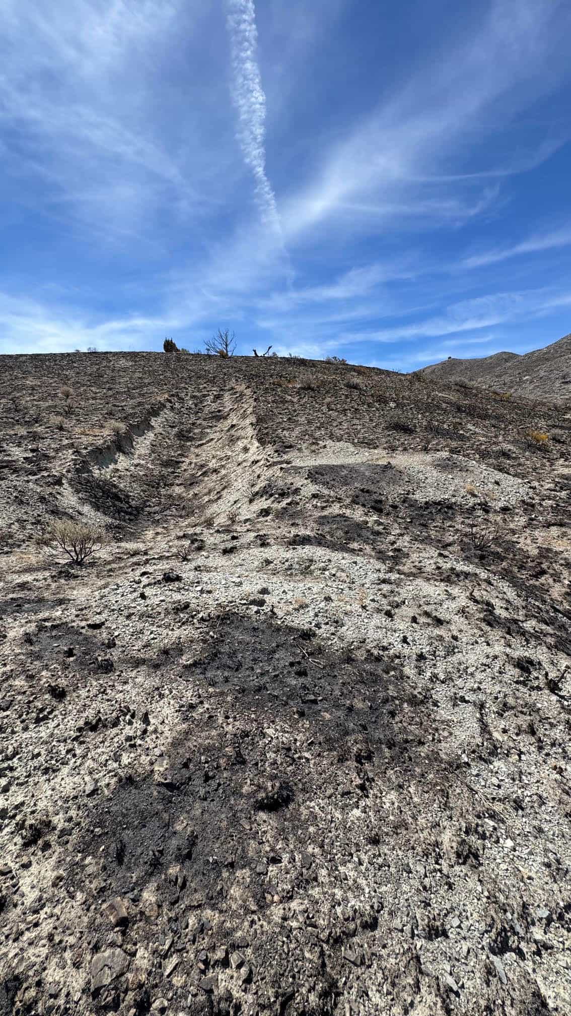
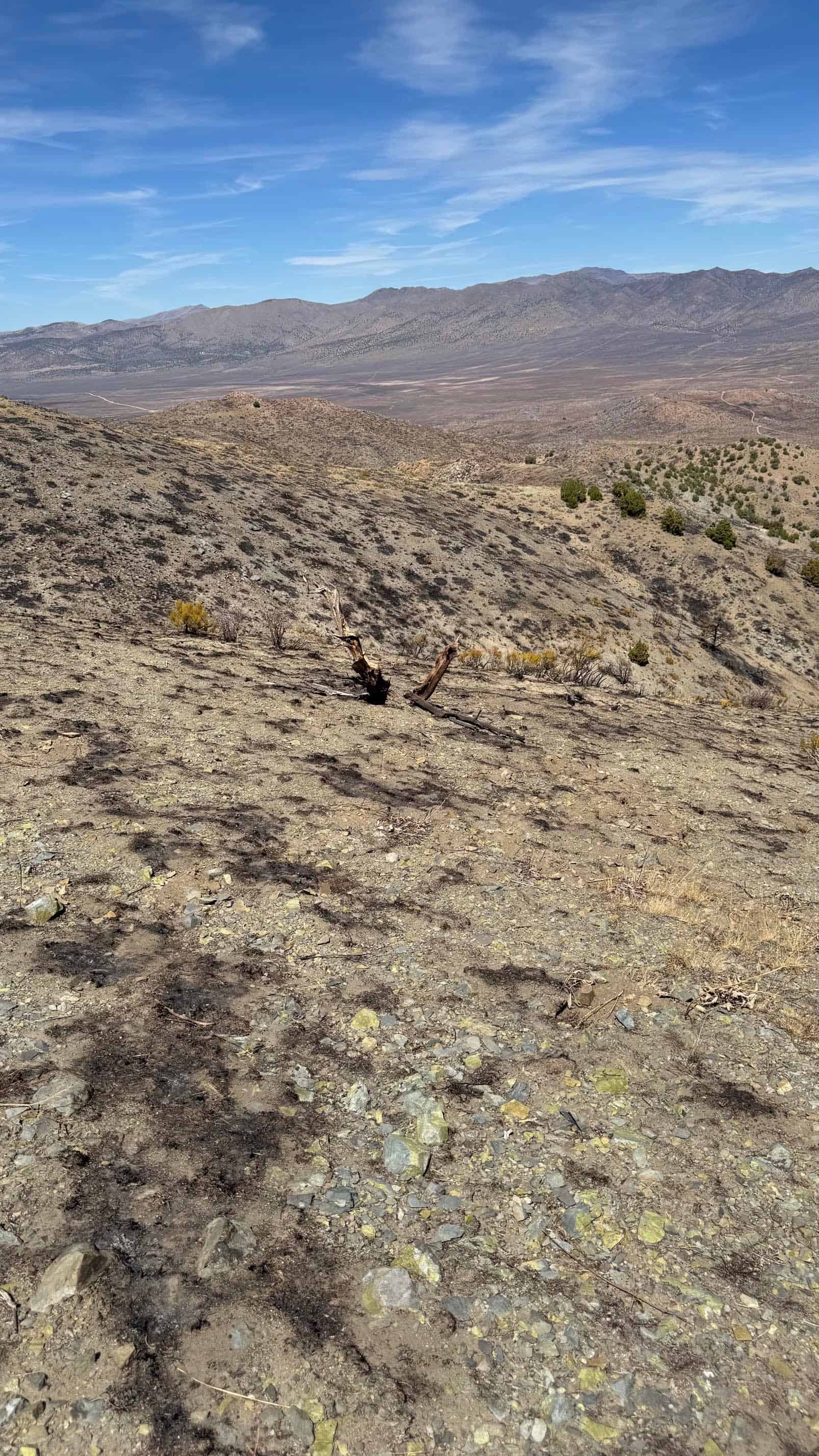
What sets this ground apart is how much of it has already been opened up. The U.S. Geological Survey’s USMIN inventory of mine-related features — points digitized from the historic topographic sheets — places a tunnel inside the claim itself and a tight group of adits and tunnels on the ridge immediately to the east, out toward Alum Rock Road. Between and around them the hillside is cut by trenches and prospect pits that show plainly on the satellite imagery. Federal records for the Freds Mountain prospects list trenching, adits, shafts, drill holes, geophysical and geochemical surveys and geologic mapping among the work carried out here. That is a serious inventory of effort for a hill this size.
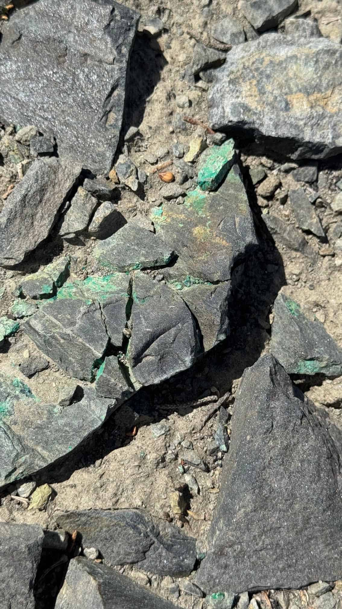
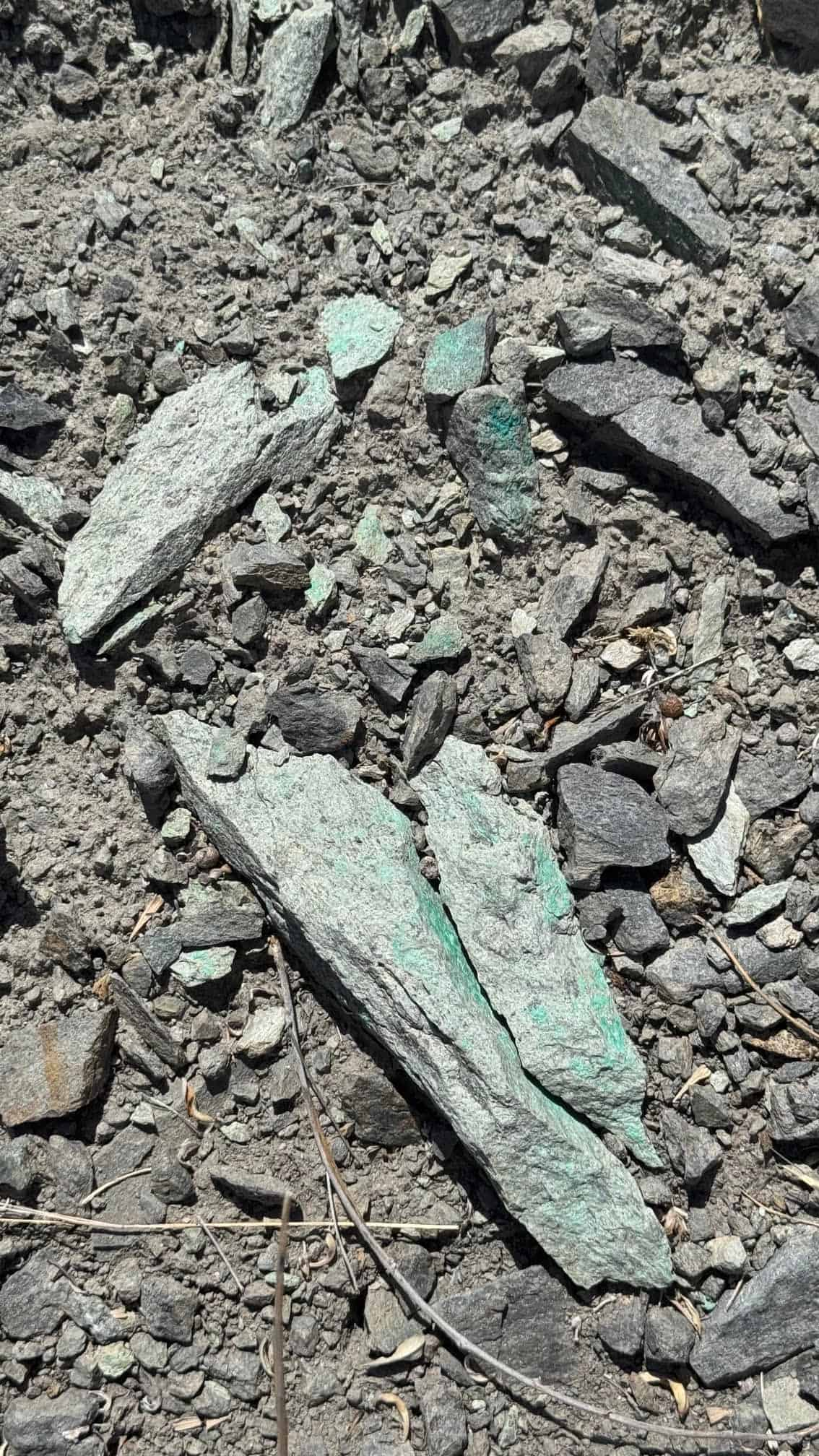
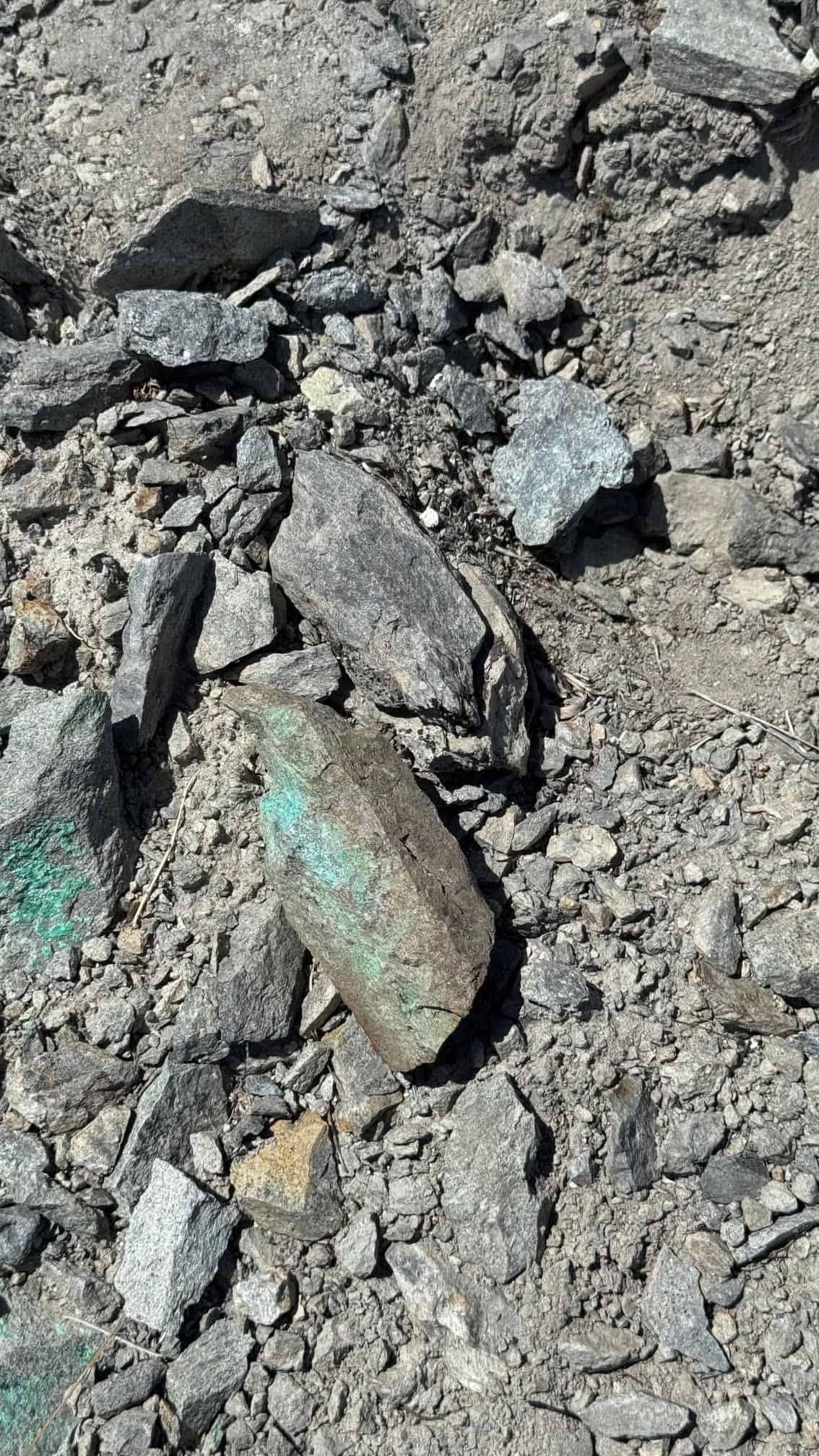
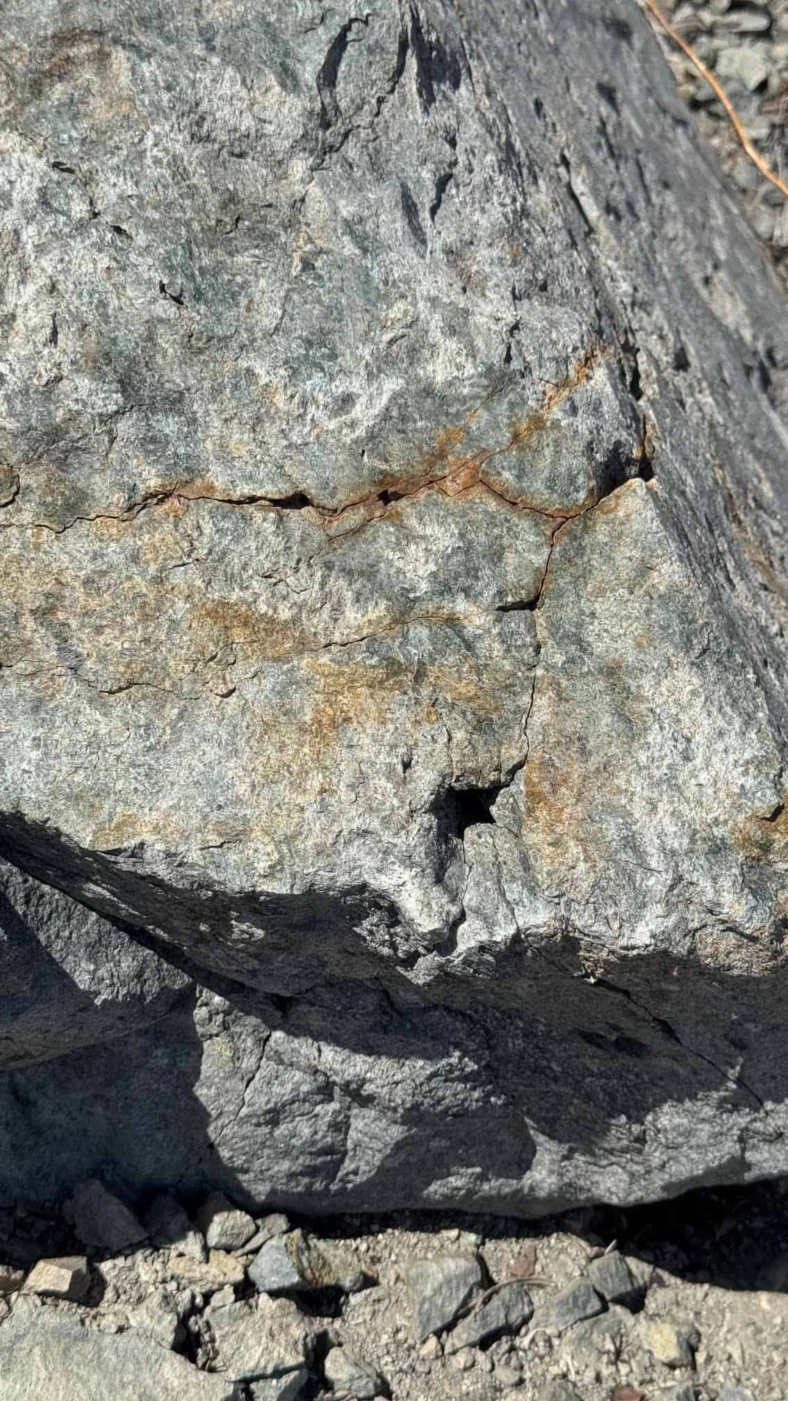
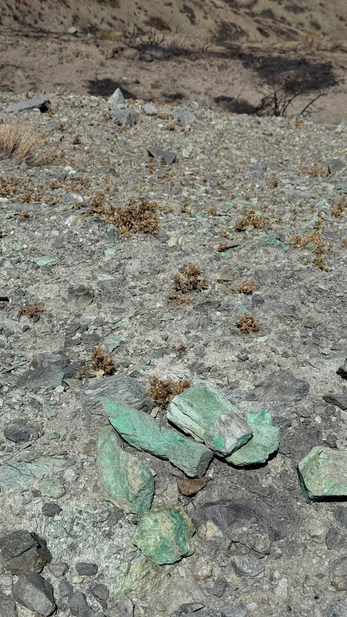
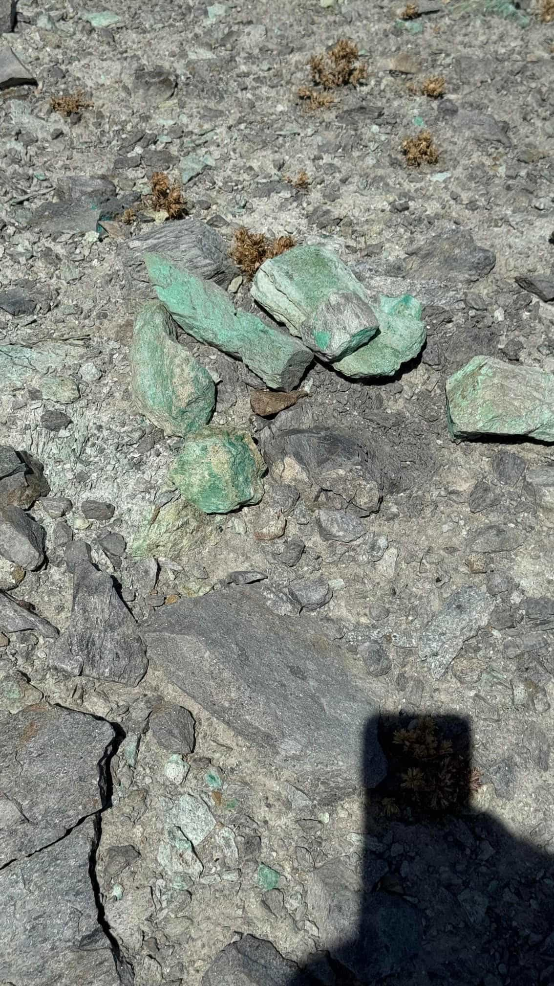
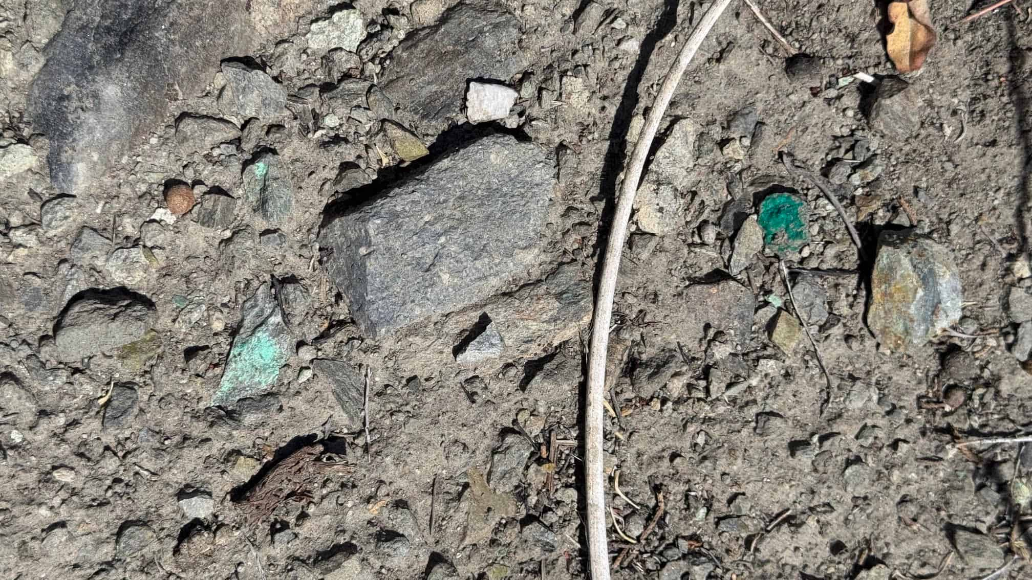
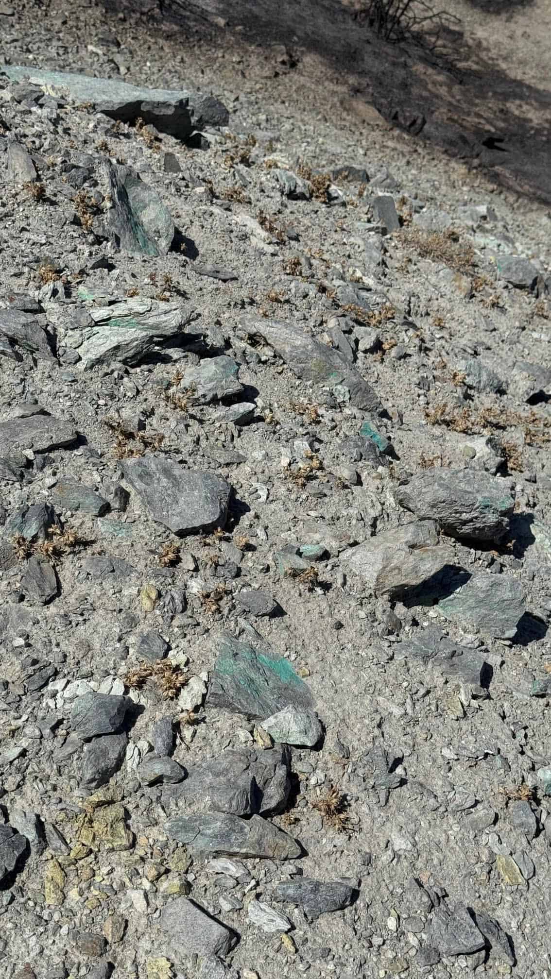
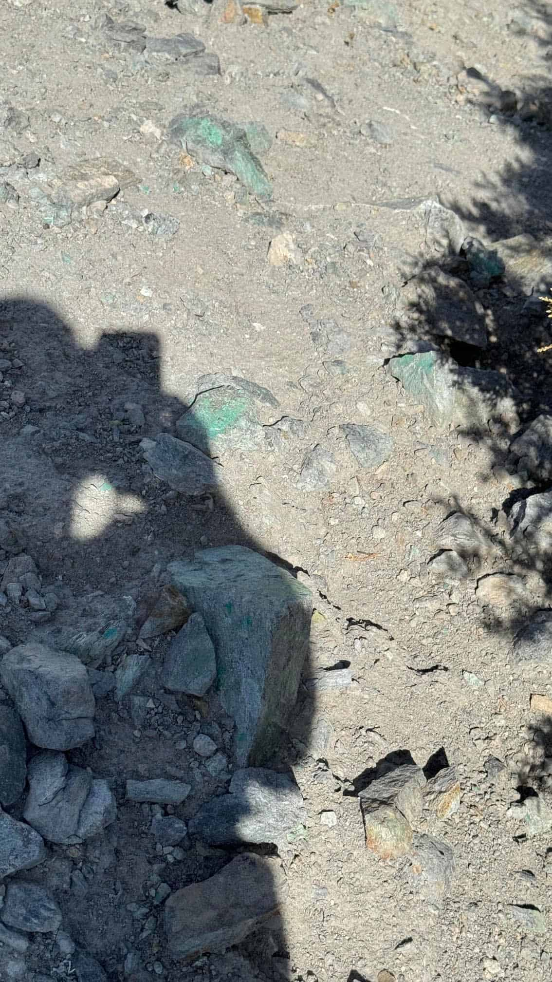
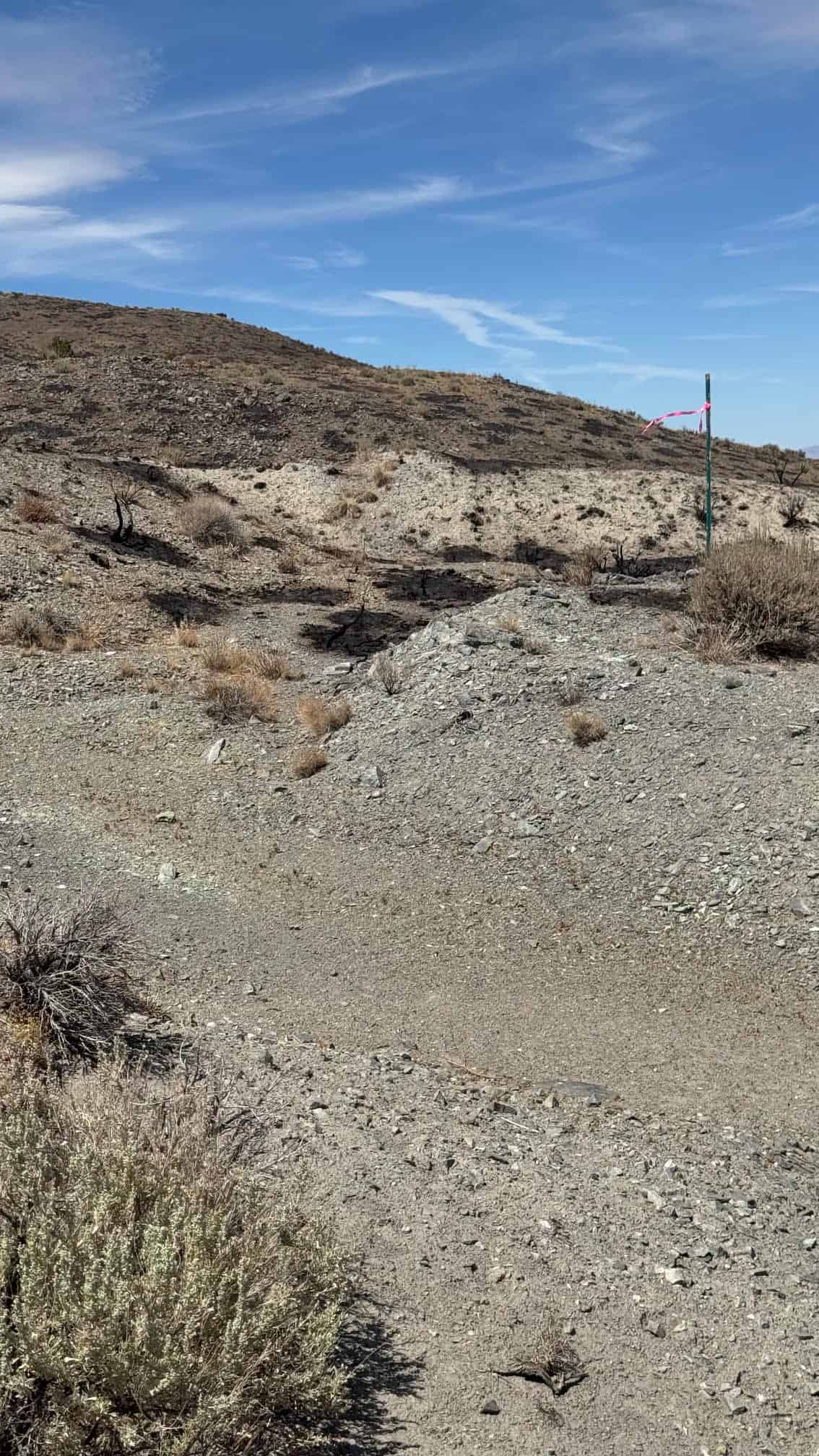
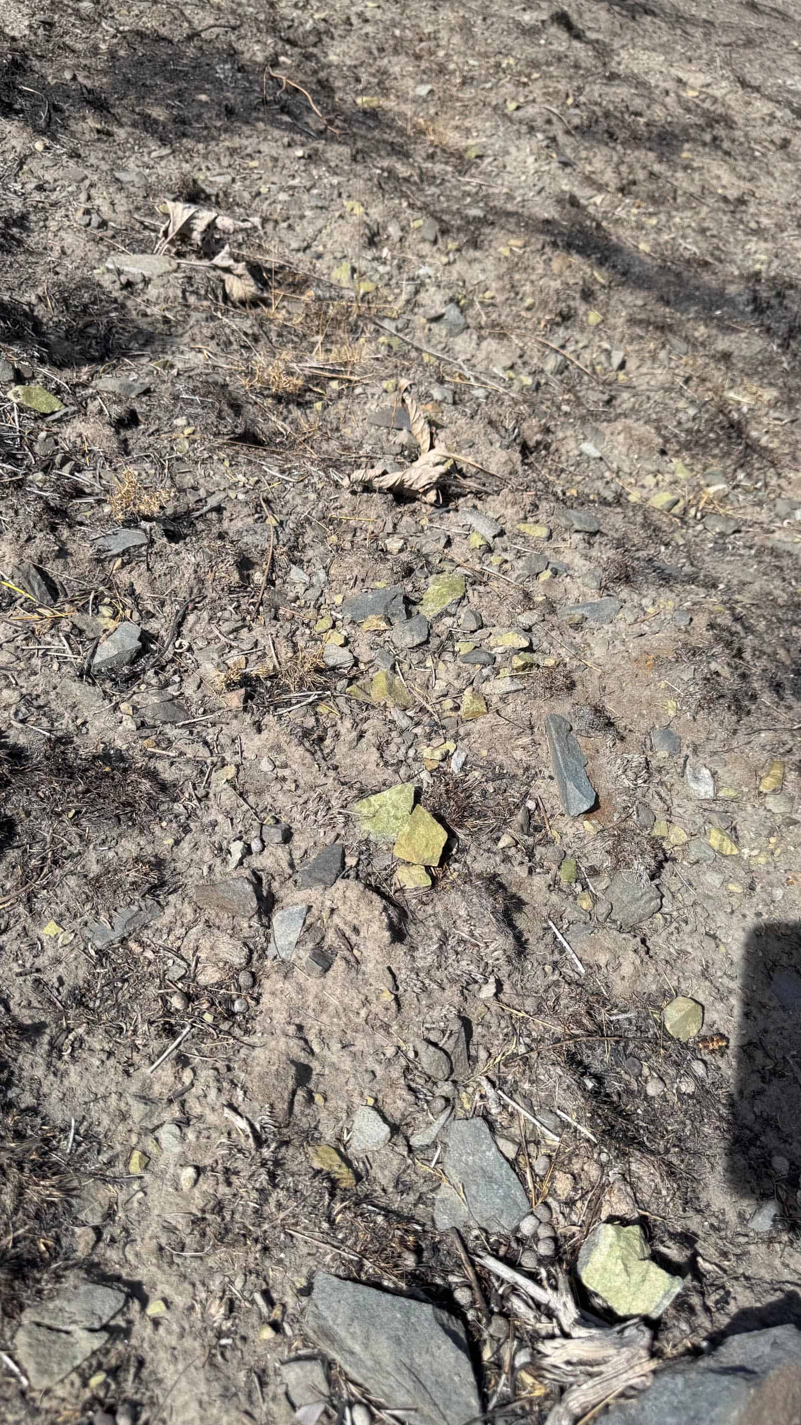
The reason for the digging is written in the rock. Freds Mountain is a fault-bounded block of light-gray meta-andesite, and along the north-northeast fault that forms its eastern edge the rock is sheared, brecciated and stained deep rust-brown with iron oxide. The old workings follow green malachite copper stain through a sericite-altered zone that runs up to 20 meters wide — the same style of Cretaceous copper-gold mineralization worked at Copperfield and in the Peavine District just down the range. Gold is a listed commodity on the USGS record for the Freds Mountain prospects, and the “Comstock-Eureka Gold” prospect lies within a few hundred yards of the claim boundary.
The naming tells you something about the ambition of the men who staked it. “Comstock” and “Eureka” were the two most famous words in Nevada mining, and prospectors who hung both on one property expected big things. They were not alone in their interest, either. The Freds Mountain District carries 64 mining claims on the federal books, staked in at least three distinct waves: the early-1900s copper excitement that sent prospectors over every iron-stained hill within a day’s ride of Reno; a 1970s campaign by Minatome Corporation, an exploration company that located a whole series of claims in the immediate area; and later precious-metals staking that put the Comstock-Eureka gold names on record.
Then there is the road name. “Alum rock” is old prospector shorthand for acid-leached, hydrothermally altered ground — the bleached, sulfate-rich rock that modern exploration geologists treat as a pathfinder for epithermal gold systems across the Great Basin. Put that alongside the sericite alteration, the iron staining and the copper carbonate documented in the workings, and you have the fingerprint of a hydrothermal system that moved metal through this fault zone. Everything that weathers off that altered slope ends up in the ravine the claim was staked to cover.
That ravine is the placer opportunity. Bedrock in these small Great Basin drainages typically sits within a few feet of the surface, and we can find no record that anyone has ever put a modern drywasher, sluice or detector on the gravels below these workings. The lode miners spent their effort on the hill; the material that broke loose from it and washed downslope over the decades has been left alone.
All of it is within easy reach. From Reno, U.S. 395 runs north to Cold Springs for fuel and supplies, and graded dirt roads carry you east toward Bedell Flat and up to the claim — a high-clearance vehicle is welcome for the last stretch but not strictly required. Reno-Sparks has assay labs, mining supply, equipment rental, the Mackay School of Mines library and the Nevada Bureau of Mines and Geology, where the original field notes on the Comstock-Eureka and Nash Copper workings are kept. The airport is under half an hour away. Camp on the claim for up to 14 days, or work a Saturday and sleep in your own bed.
Washoe County mining runs deep. The Comstock Lode, thirty-odd miles south, is the reason Nevada became a state; the Olinghouse District to the southeast turned out more than 40,000 ounces of gold; Copperfield, Peavine, Pyramid, Wedekind and Galena ring the Truckee Meadows. The Comstock-Eureka puts you on the northern end of that country, on ground the old-timers marked with picks and powder and the USGS marked on its maps.
This claim has sold. If you’re looking for similar ground, email me here and I’ll let you know when something comes available.
| Type of Claim | Unpatented Placer — “Eureka Comstock Placer” BLM serial number assigned on filing |
|---|---|
| Size of Claim | 20 ACRES — ONE 20-ACRE CLAIM |
| Mining Commodities | Gold, Copper, Silver |
| Accessibility | Graded dirt roads off U.S. 395 via Bedell Flat / Alum Rock Road; high-clearance vehicle recommended for the last stretch. |
| Closest City | Reno, Nevada (approx. 18 miles) — Cold Springs for fuel and supplies |
| Camping | Yes. Up to 14 days at a time |
| Prior Workings | Tunnel within the claim; adits, tunnels, shafts and trenches on the adjoining ridge; historic prospect pits throughout |
| Elevation | Approx. 5,800–6,200 ft; Freds Mountain summit 7,192 ft |
| Type of Deposit | Placer |
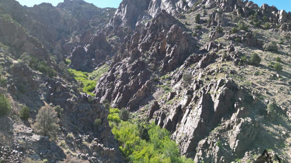
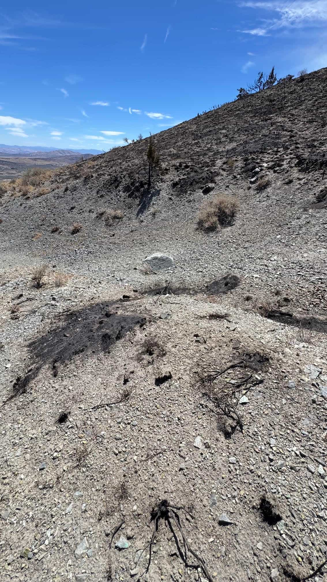
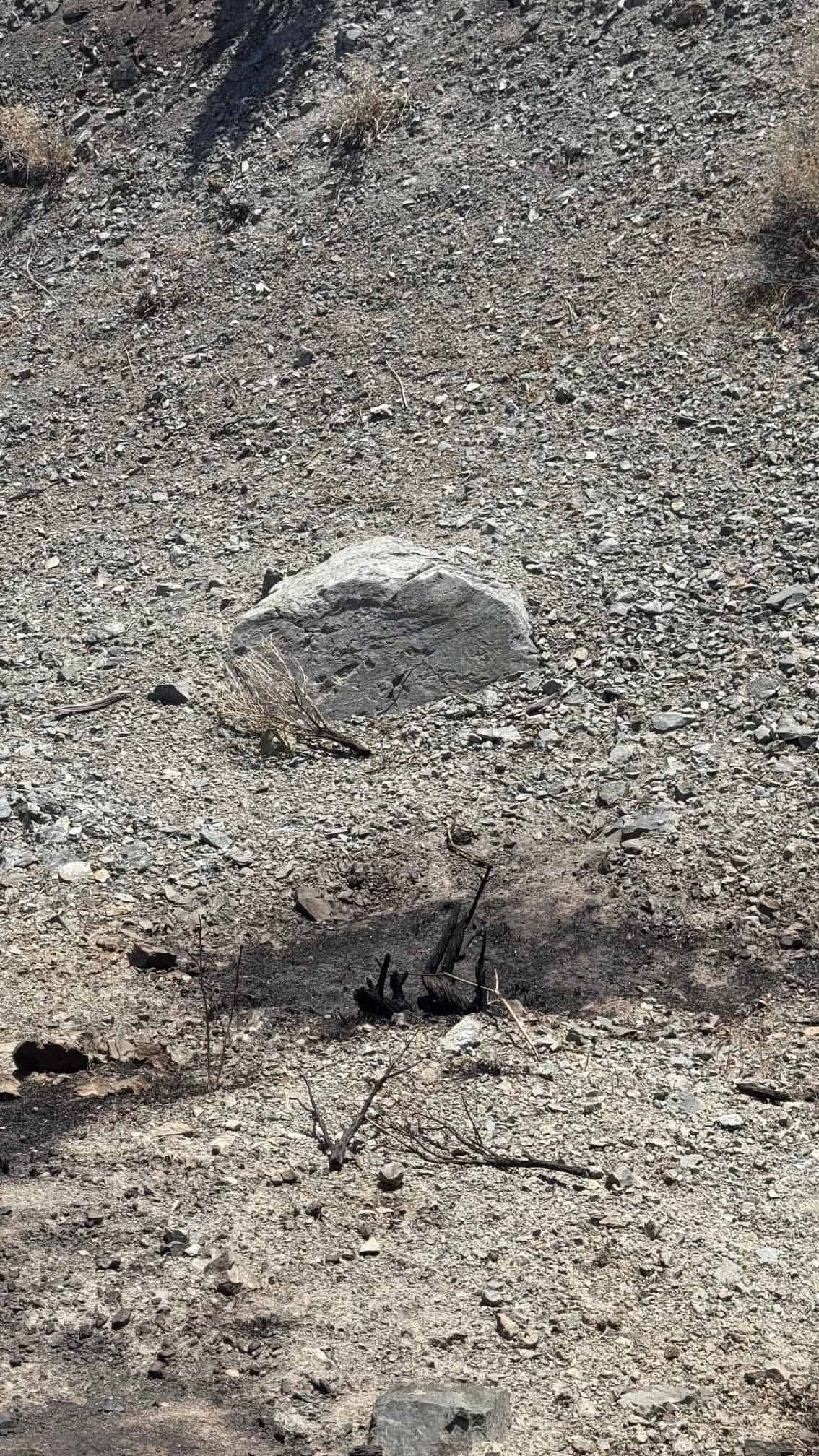
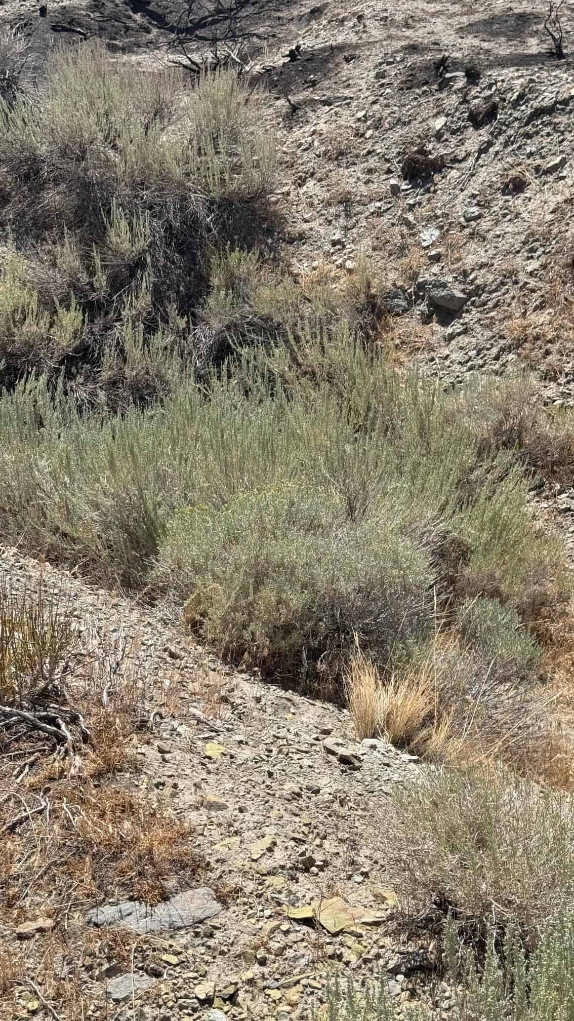
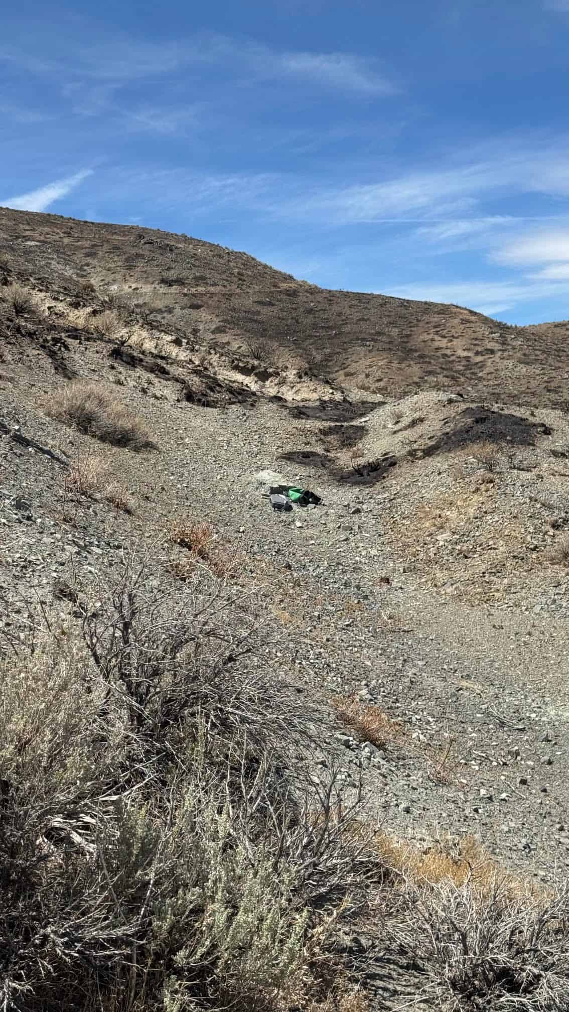
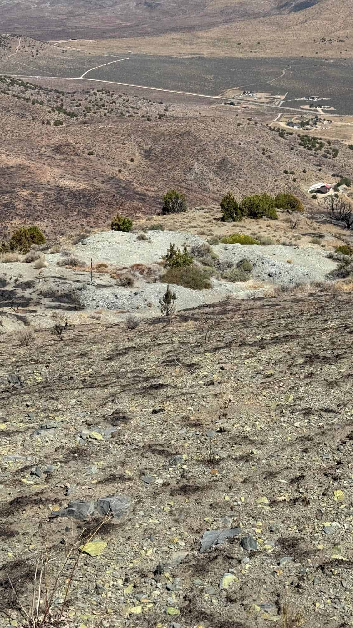
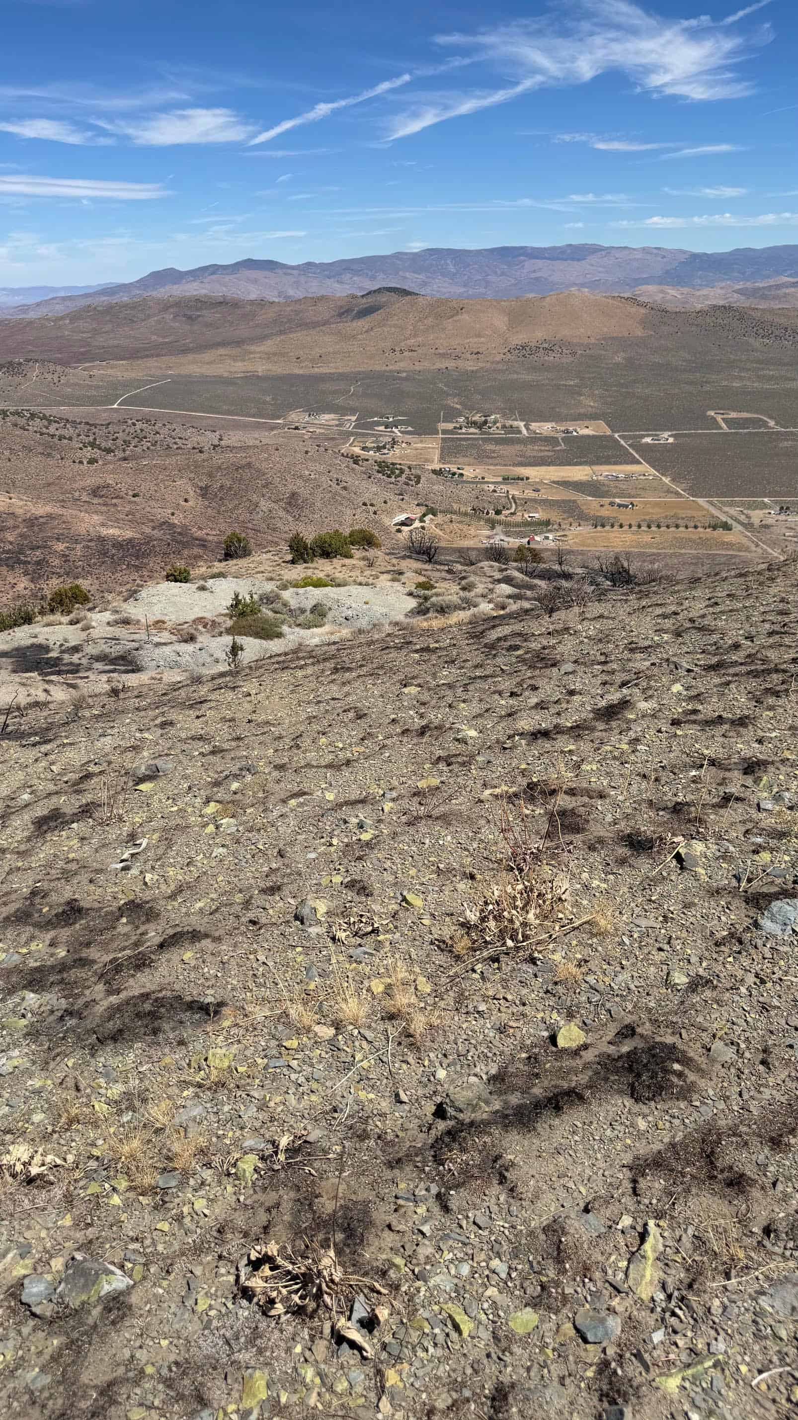
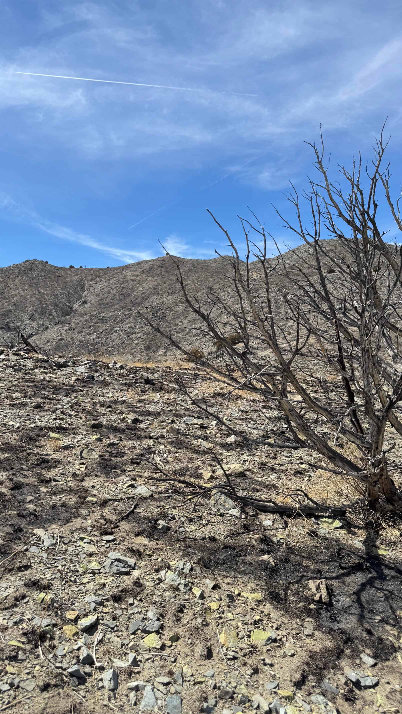
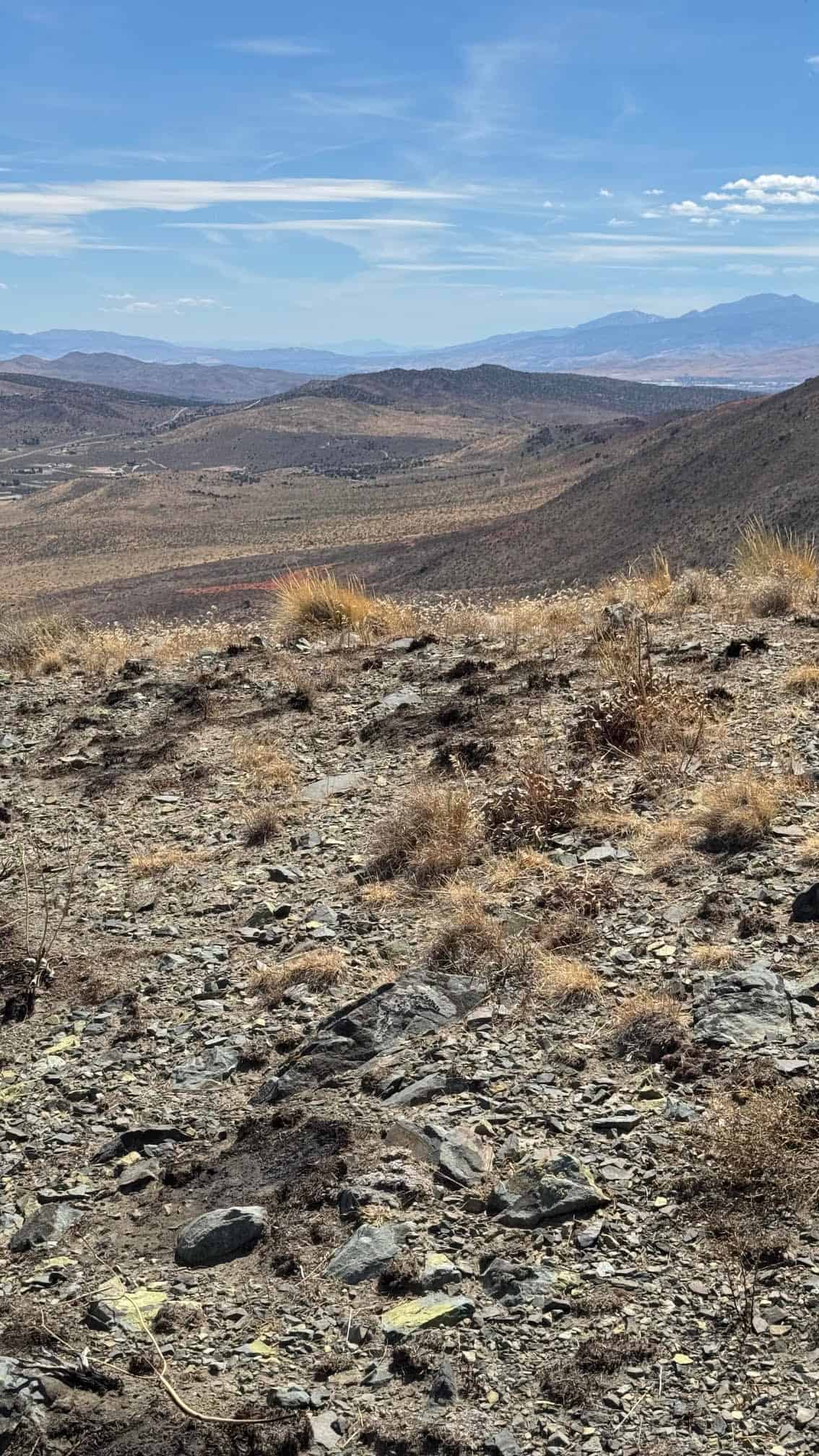
The following were taken on the claim and on the surrounding east slope of Freds Mountain. They show the tunnel and adit portals, the trench cuts and prospect pits, the iron-stained and copper-stained rock along the fault zone, the ravine gravels, and the views east over Bedell Flat. Click any photograph to open it full size.
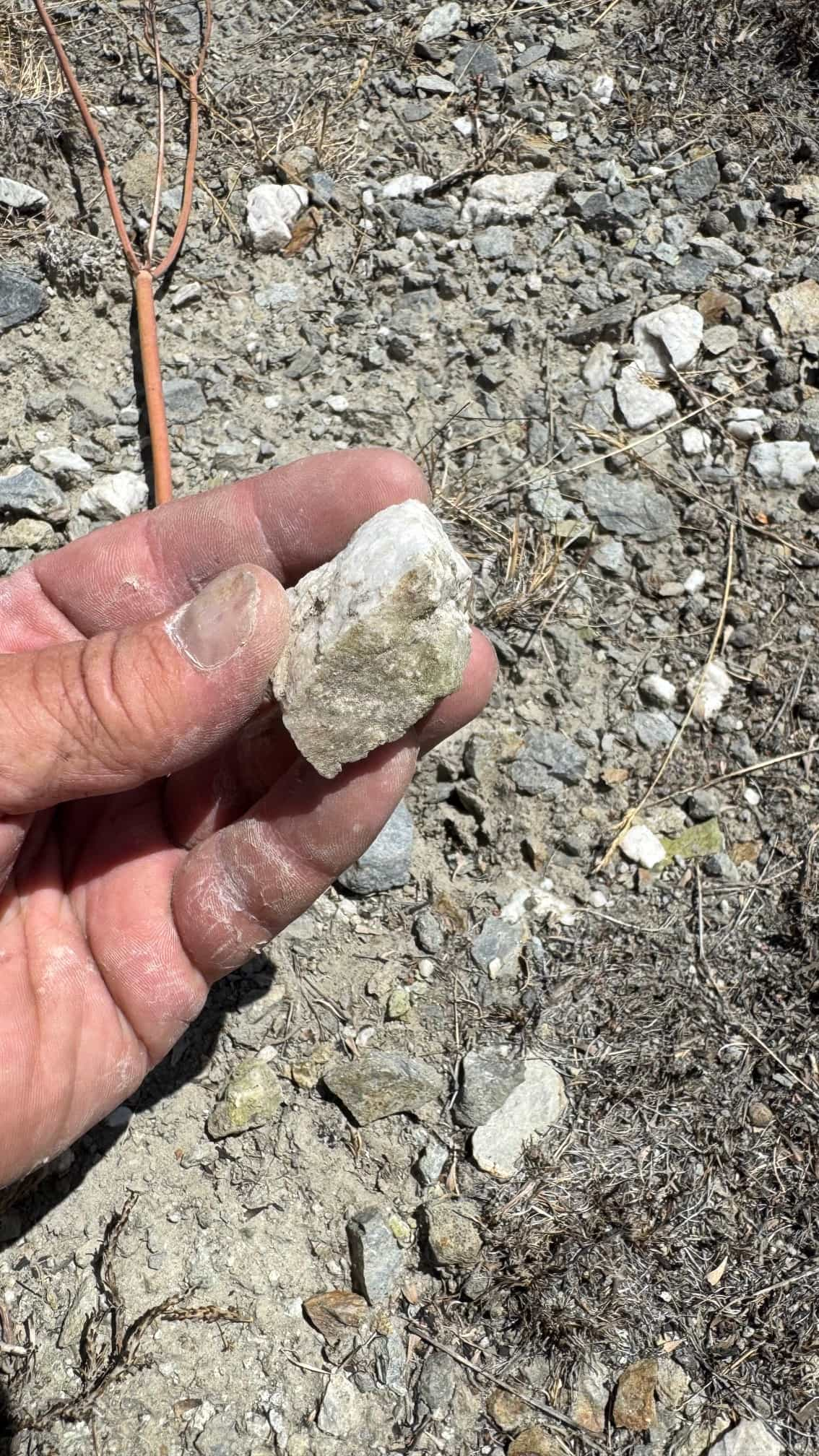
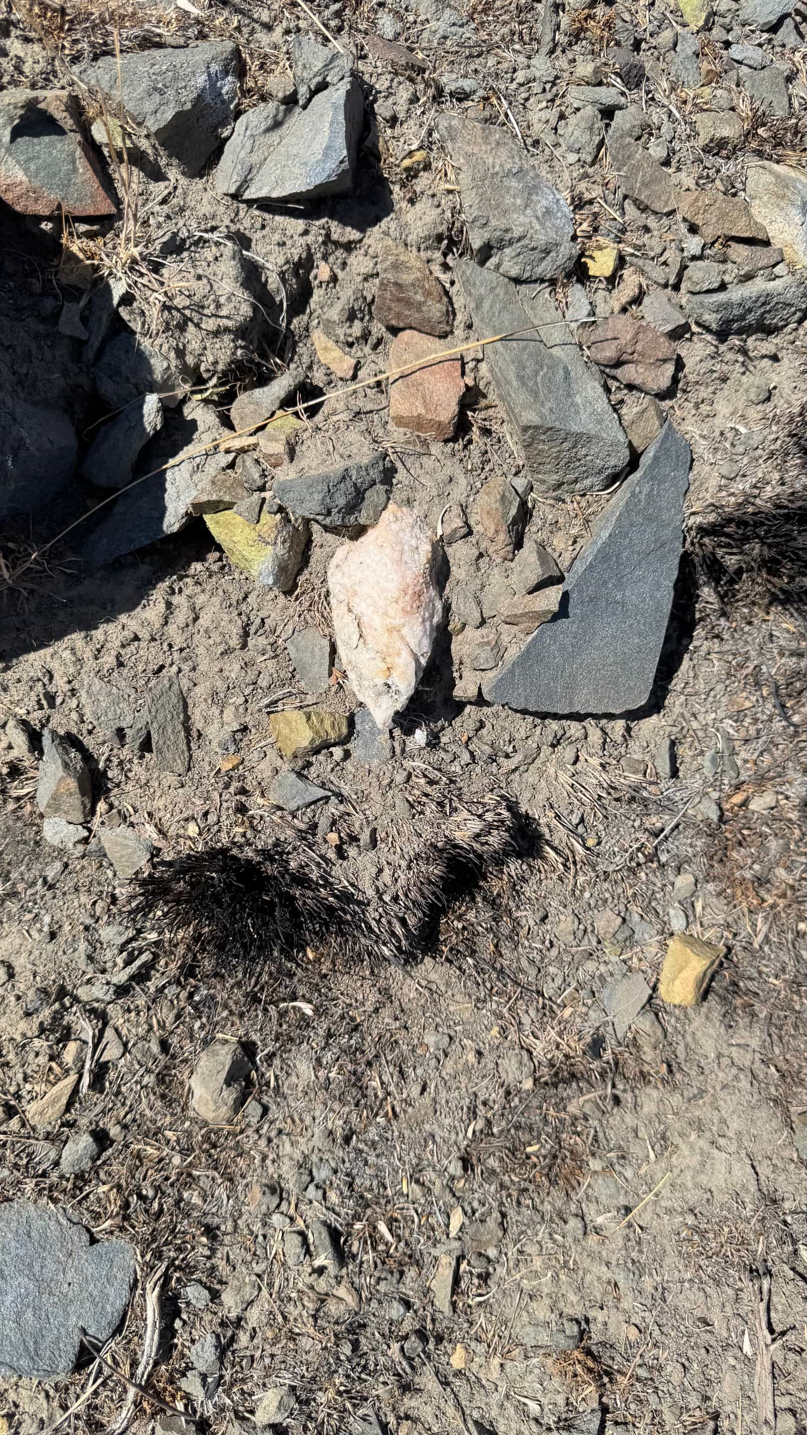
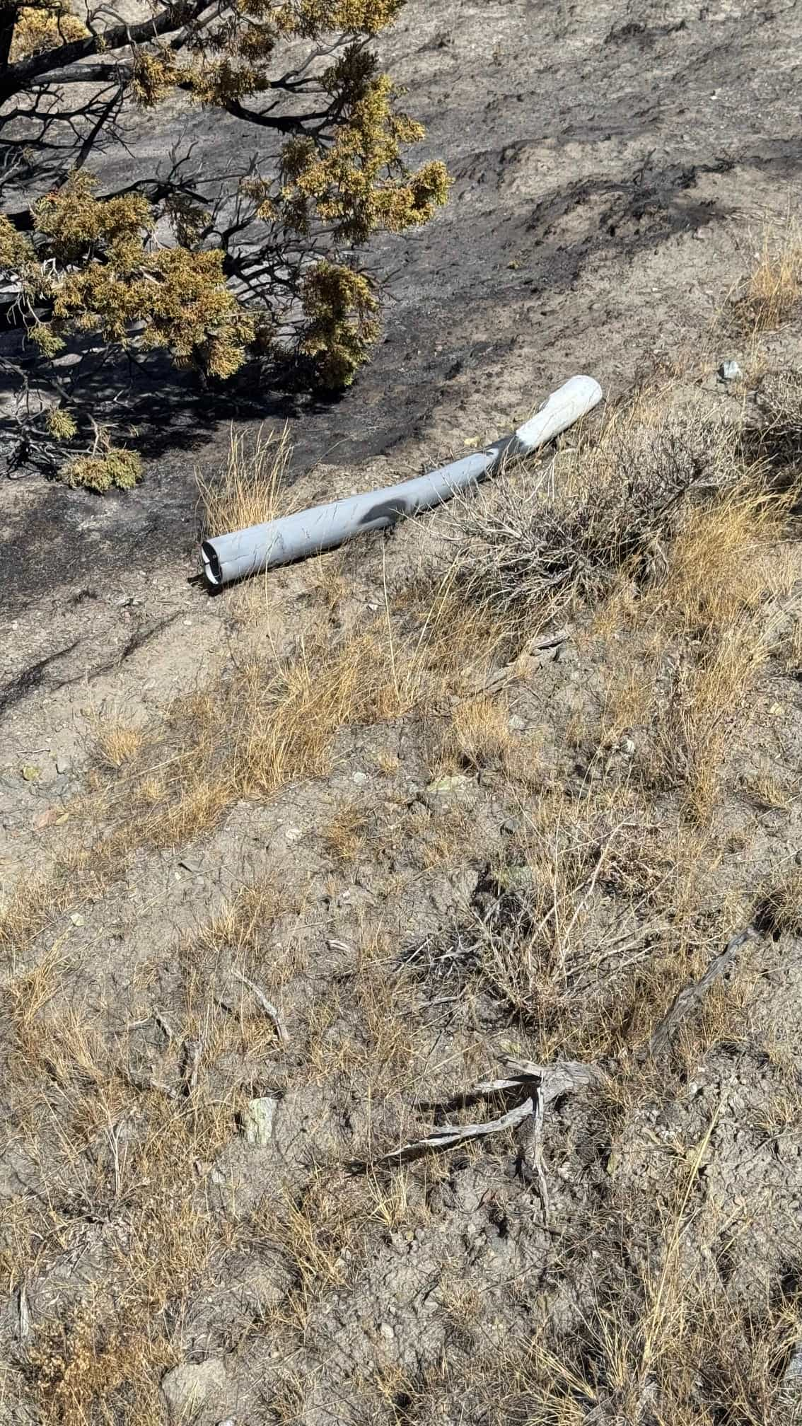
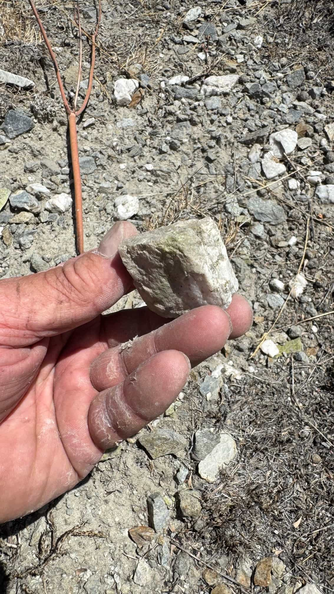
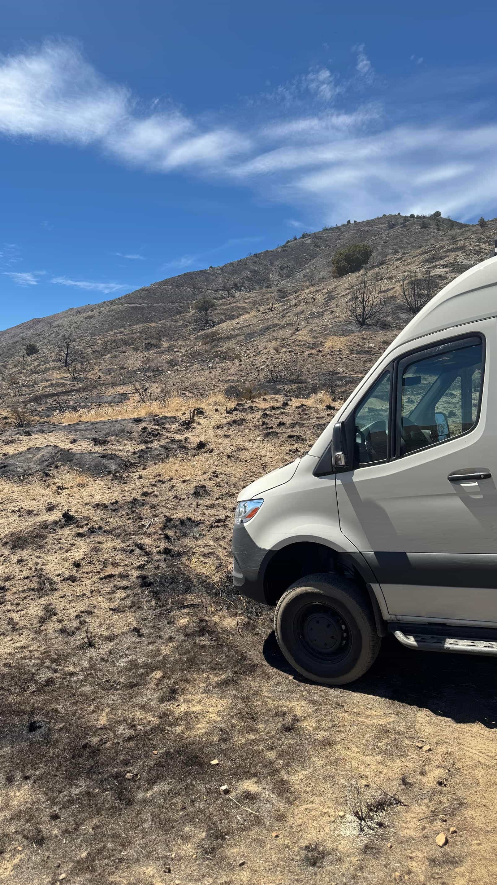
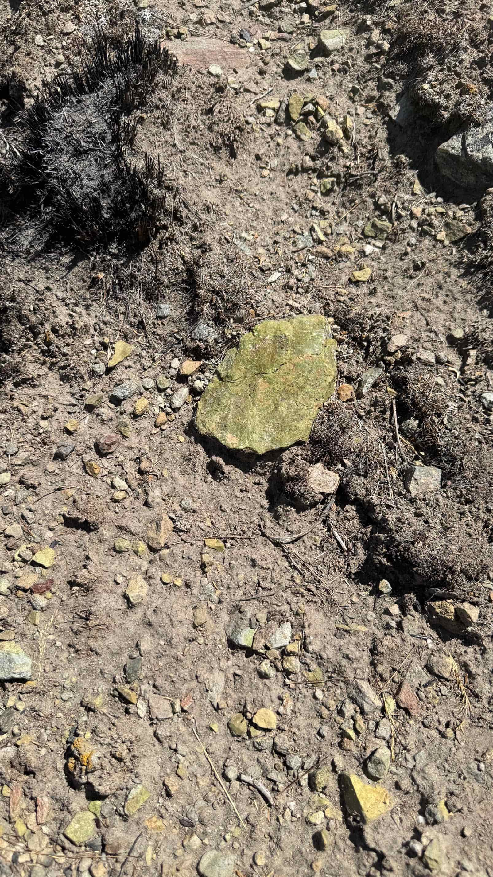
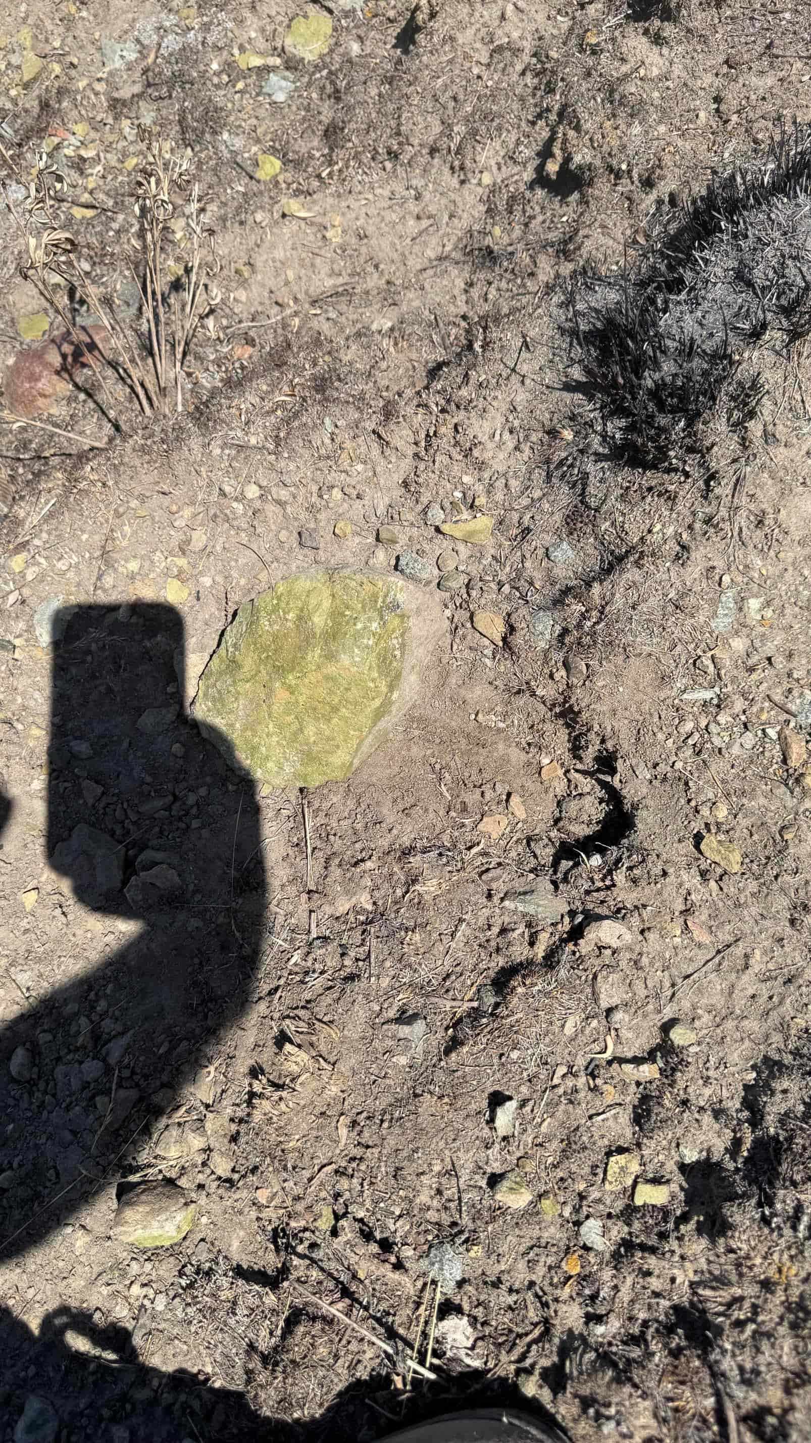
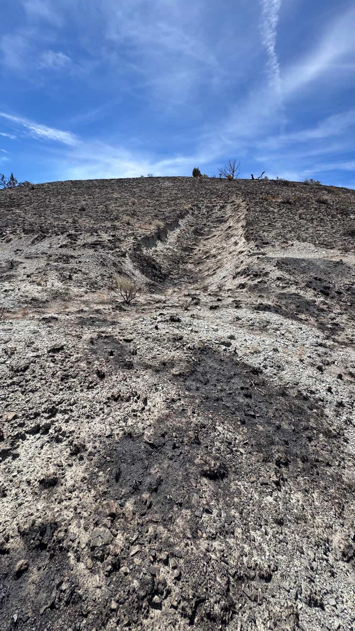
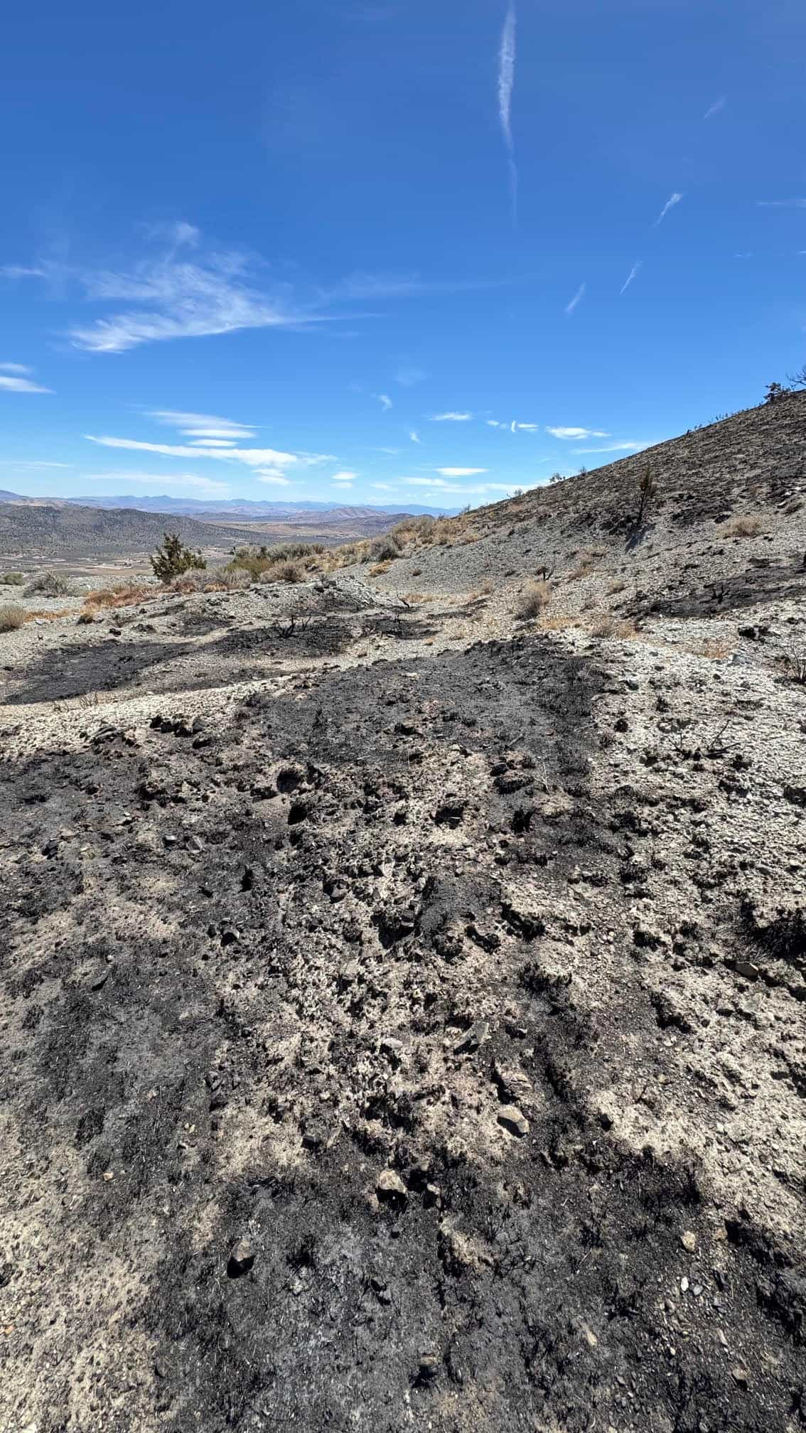
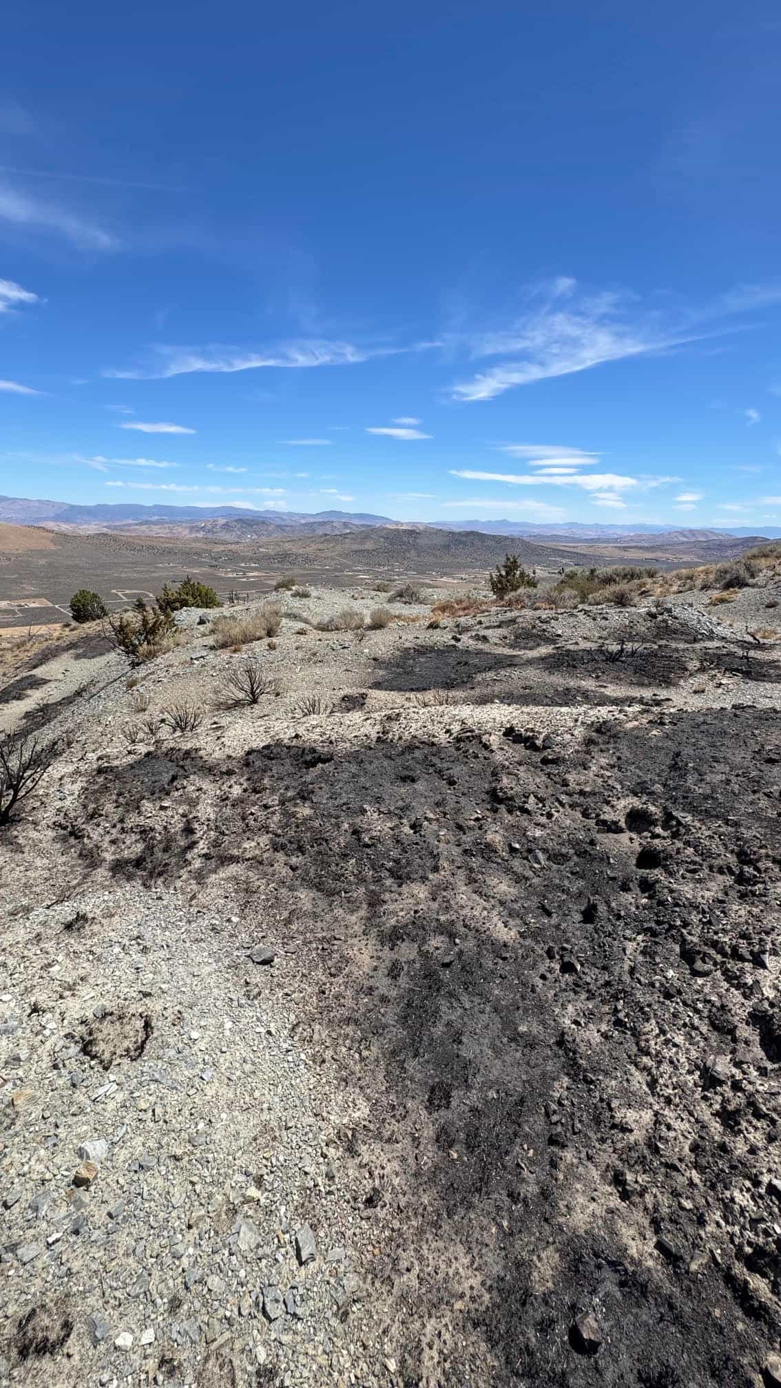
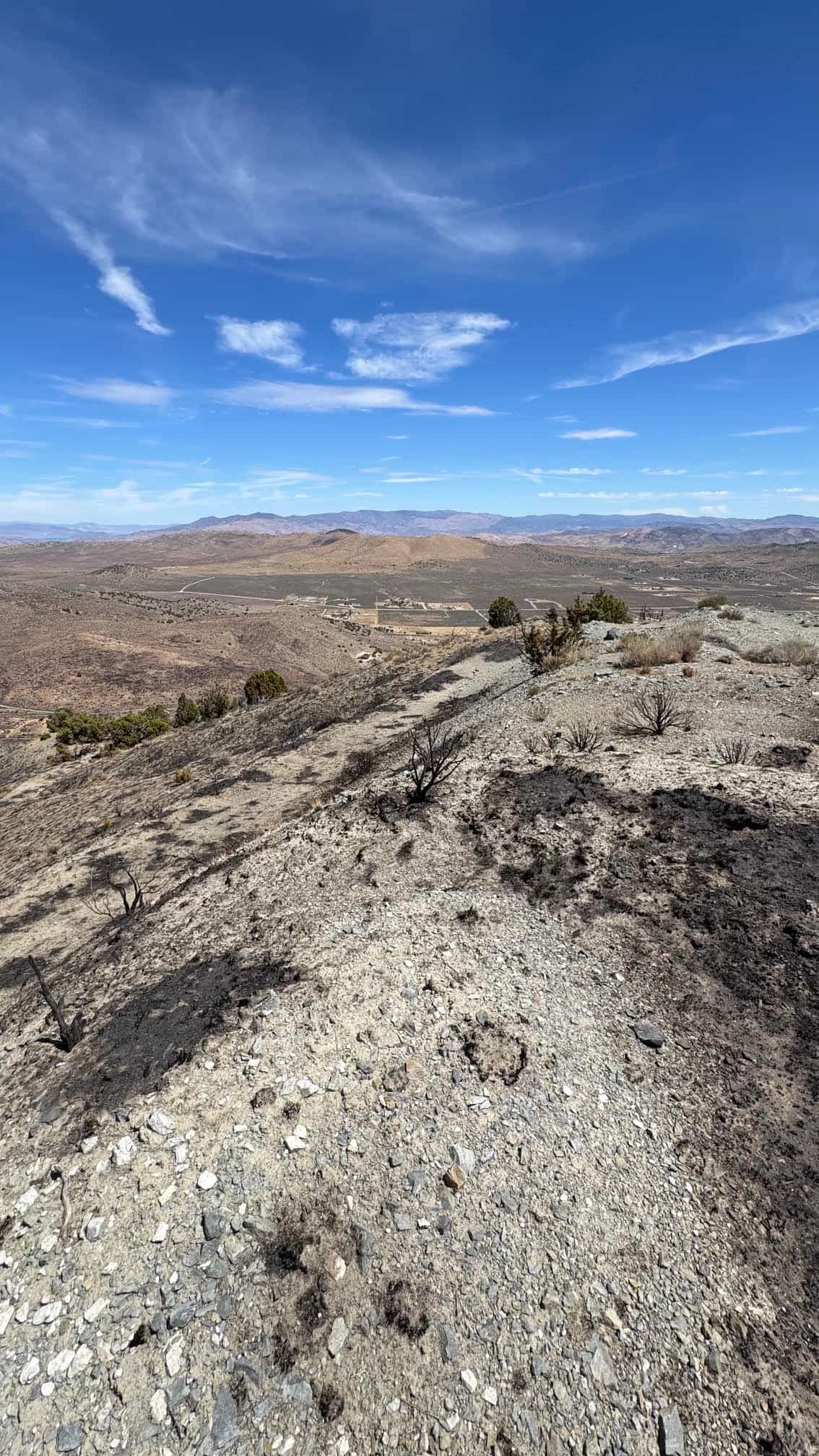
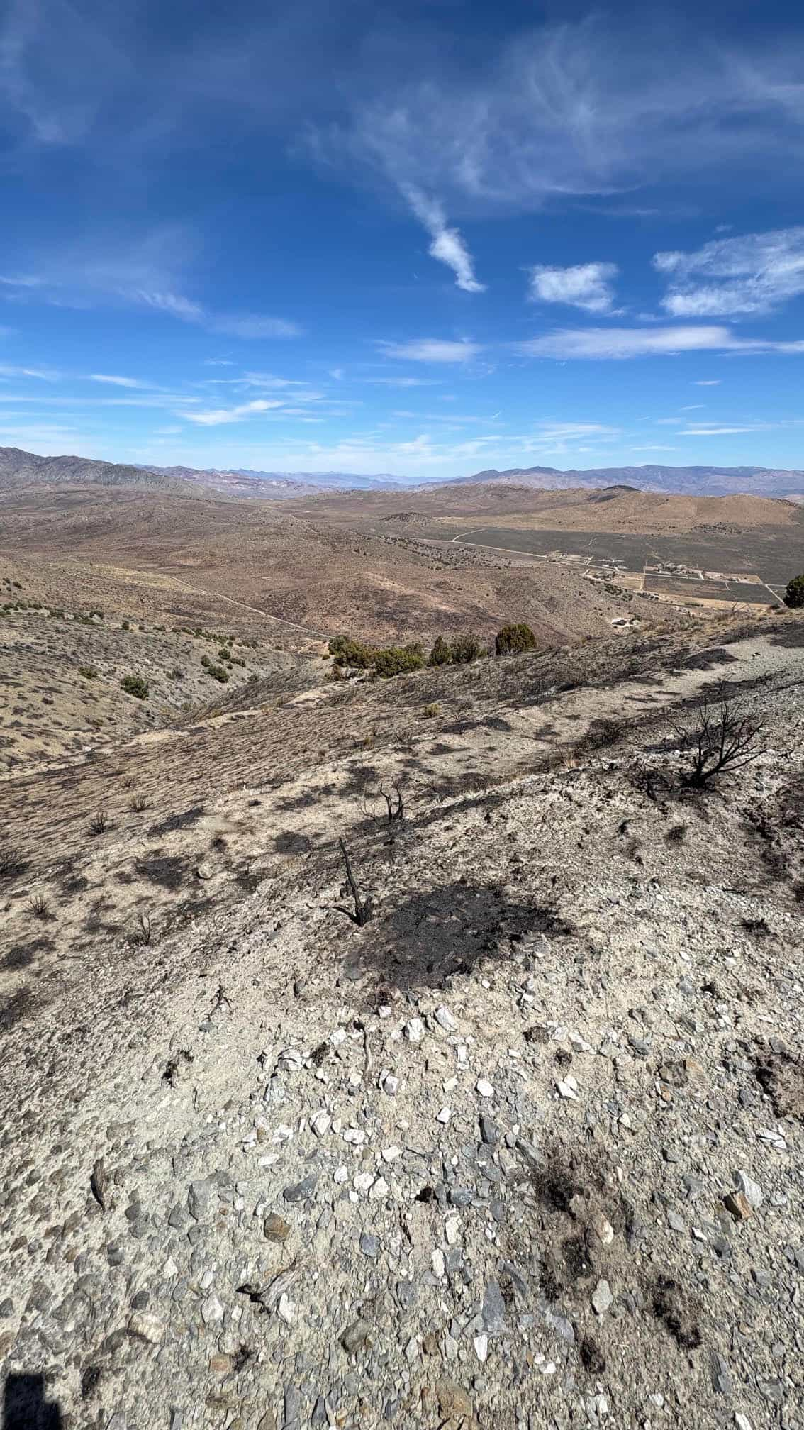
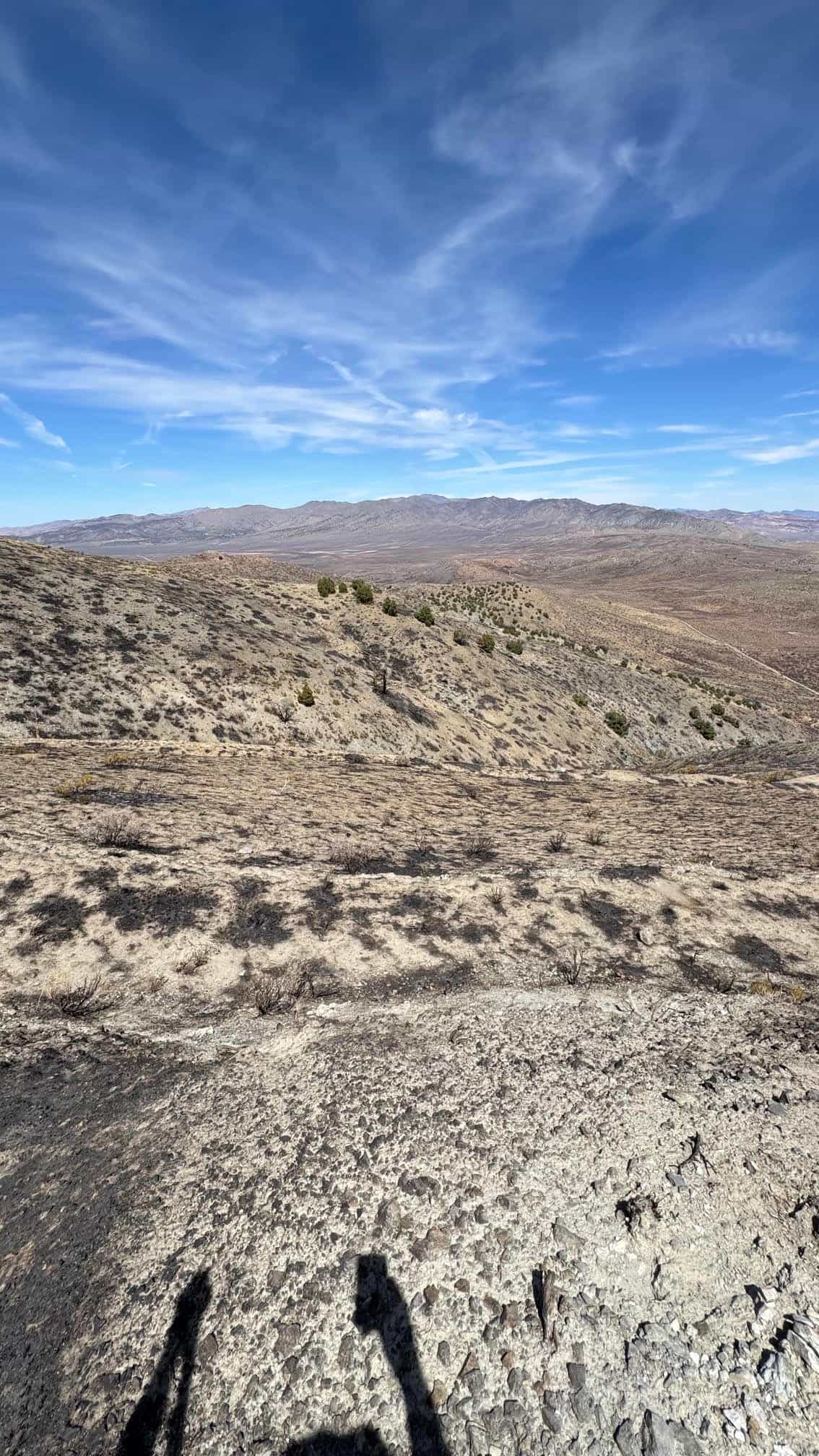
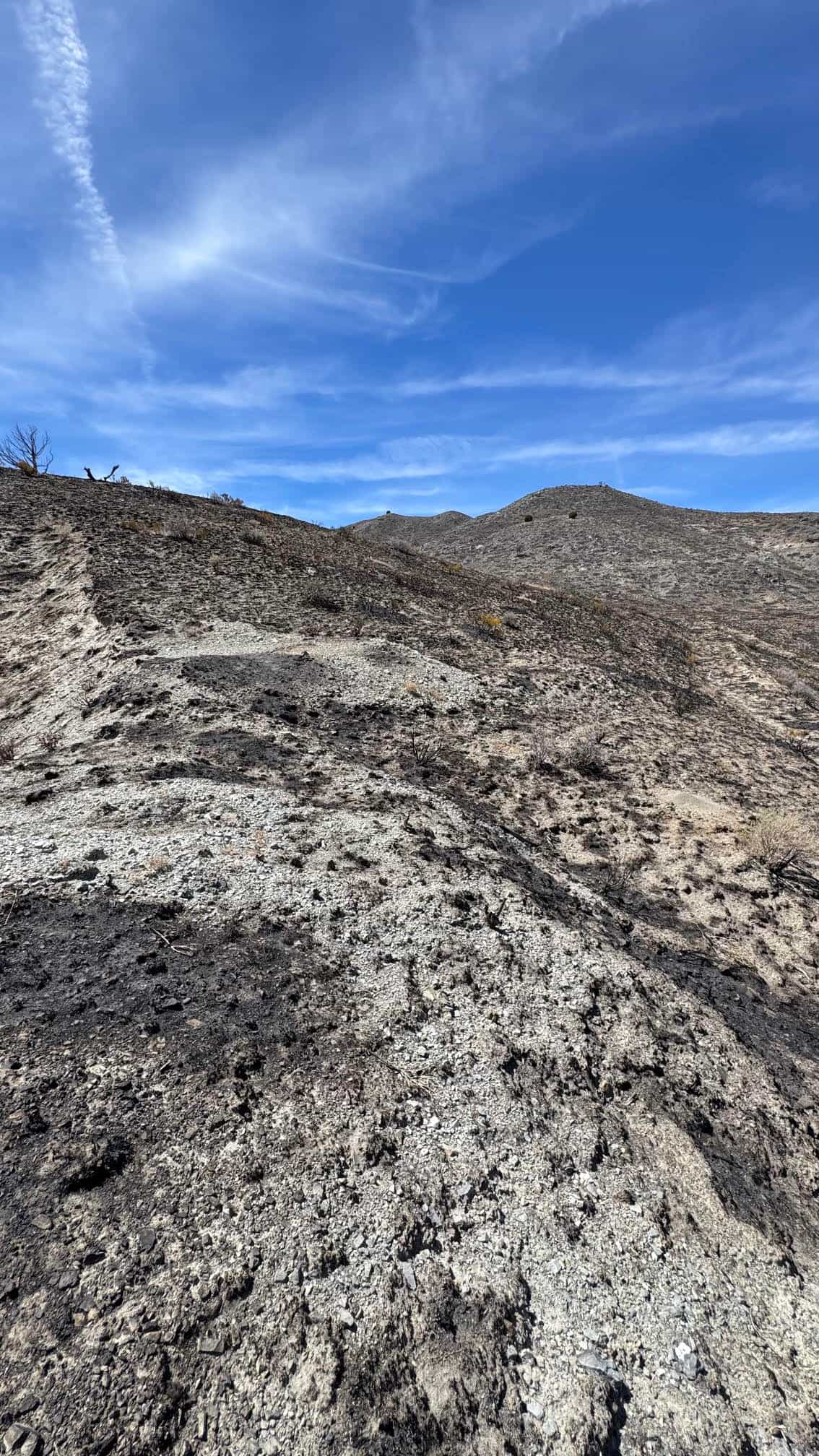
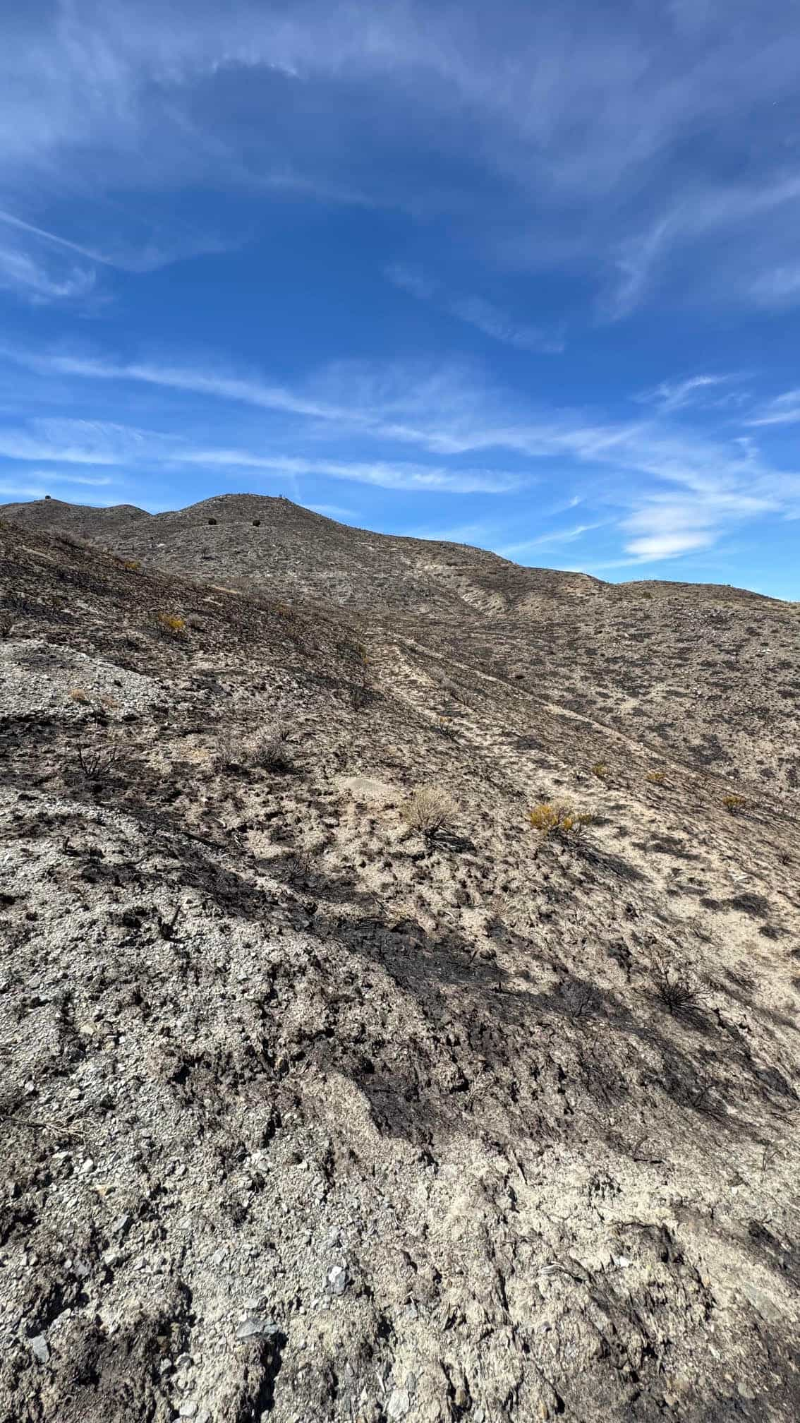
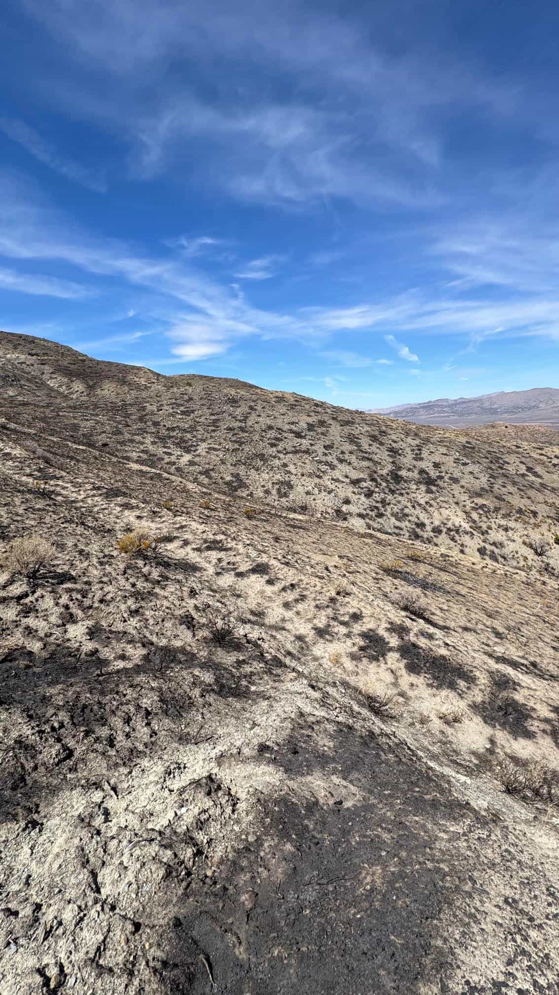
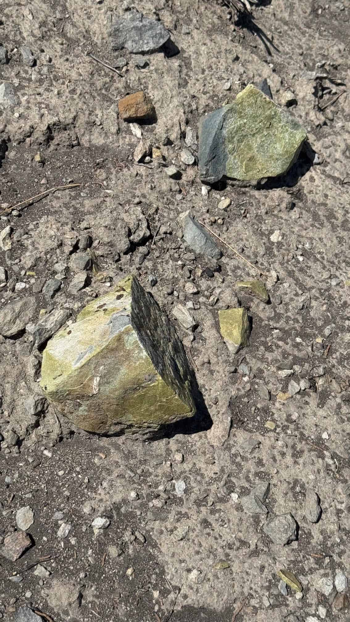
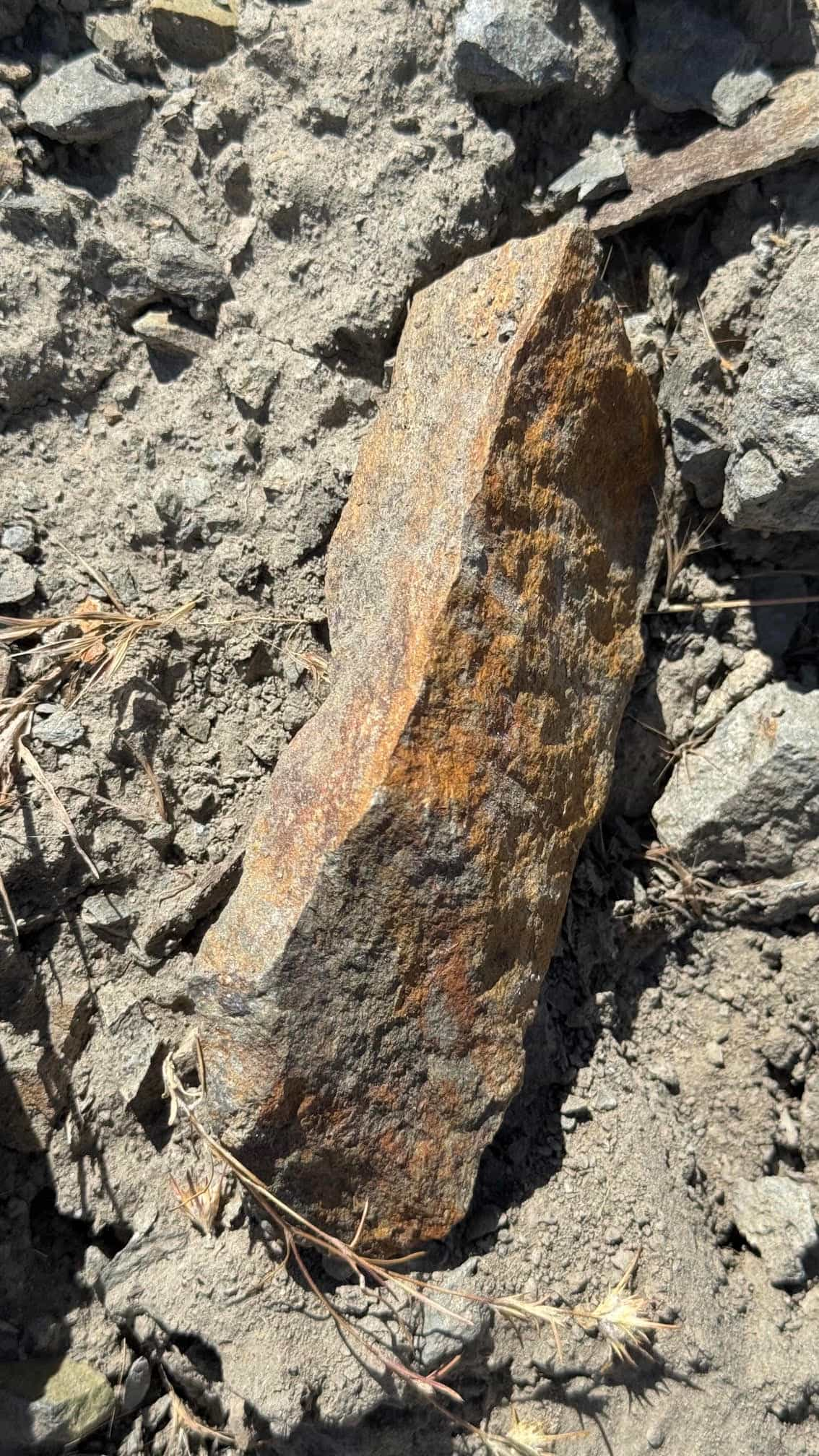
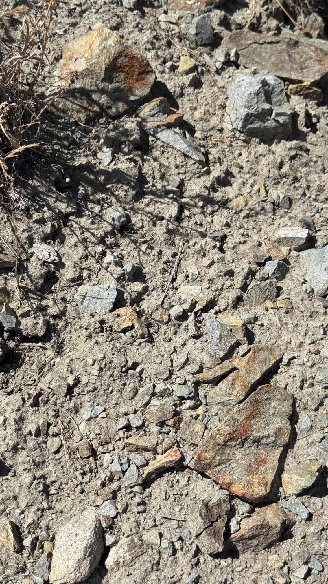
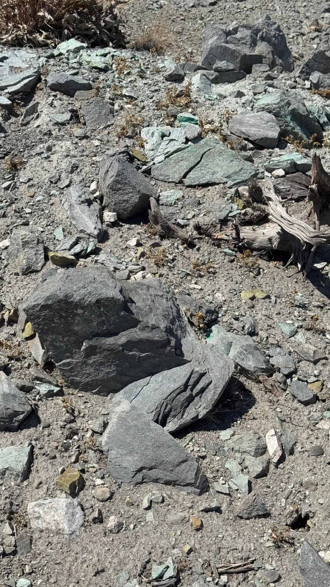
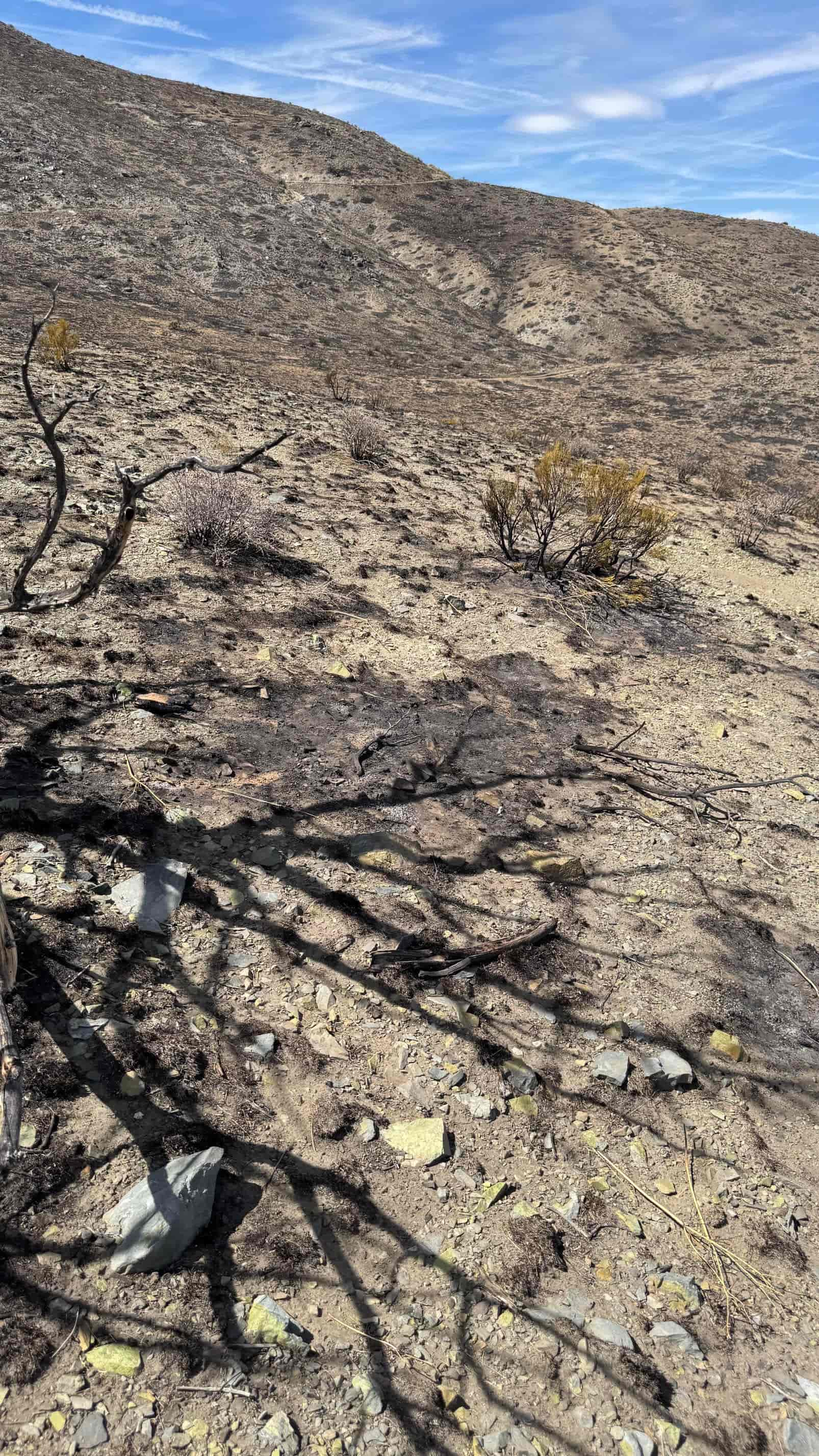
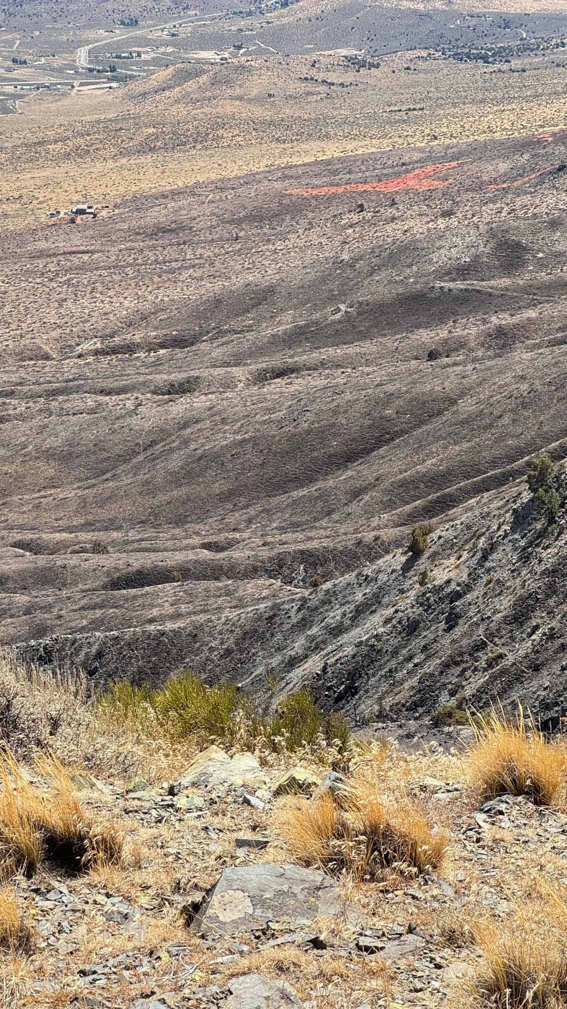
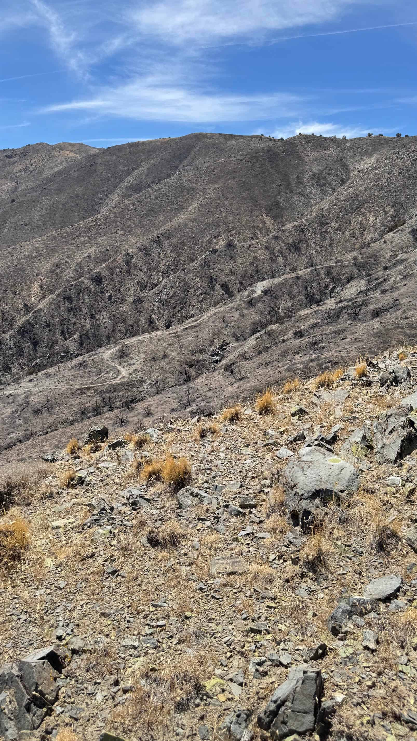
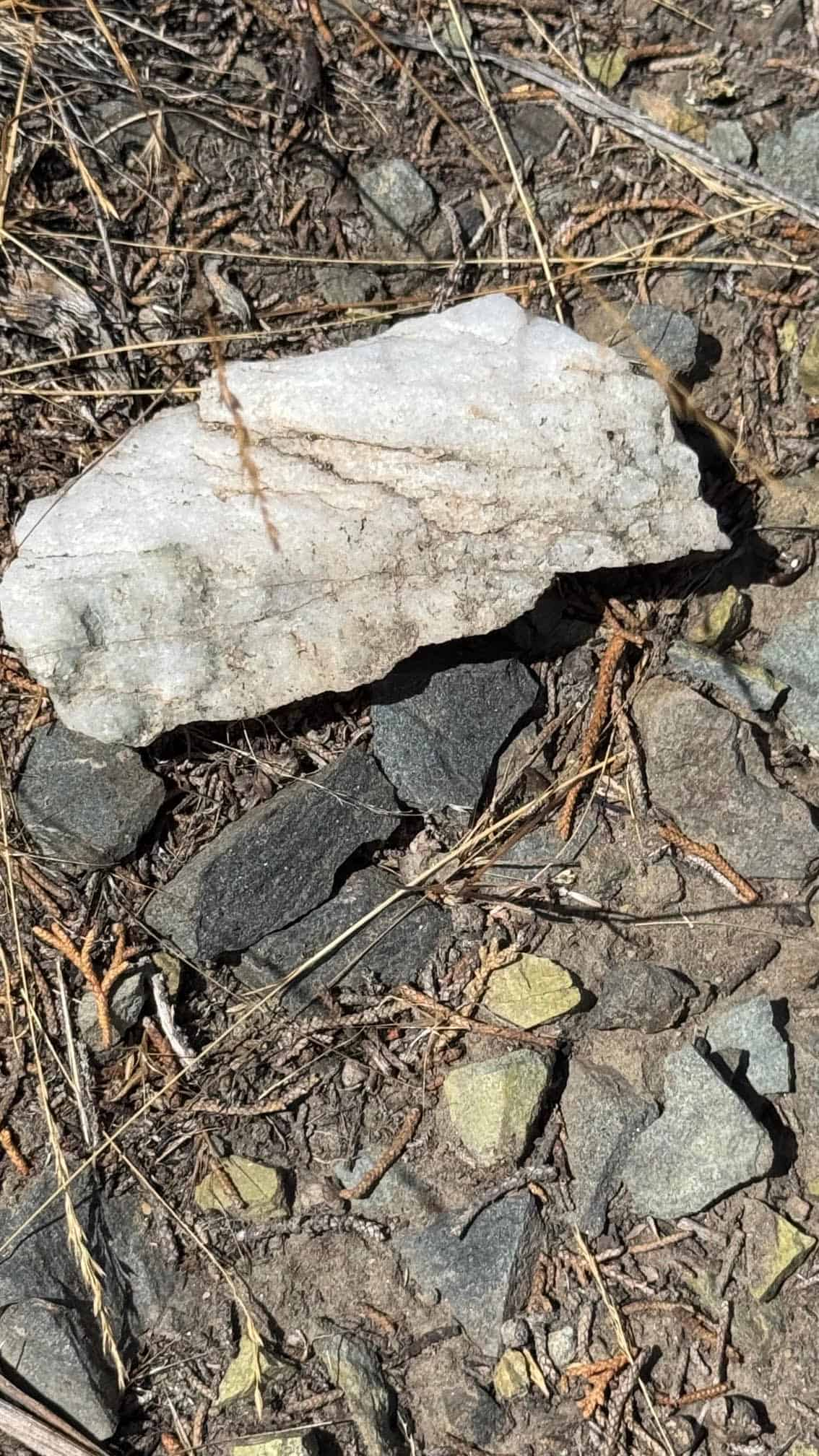
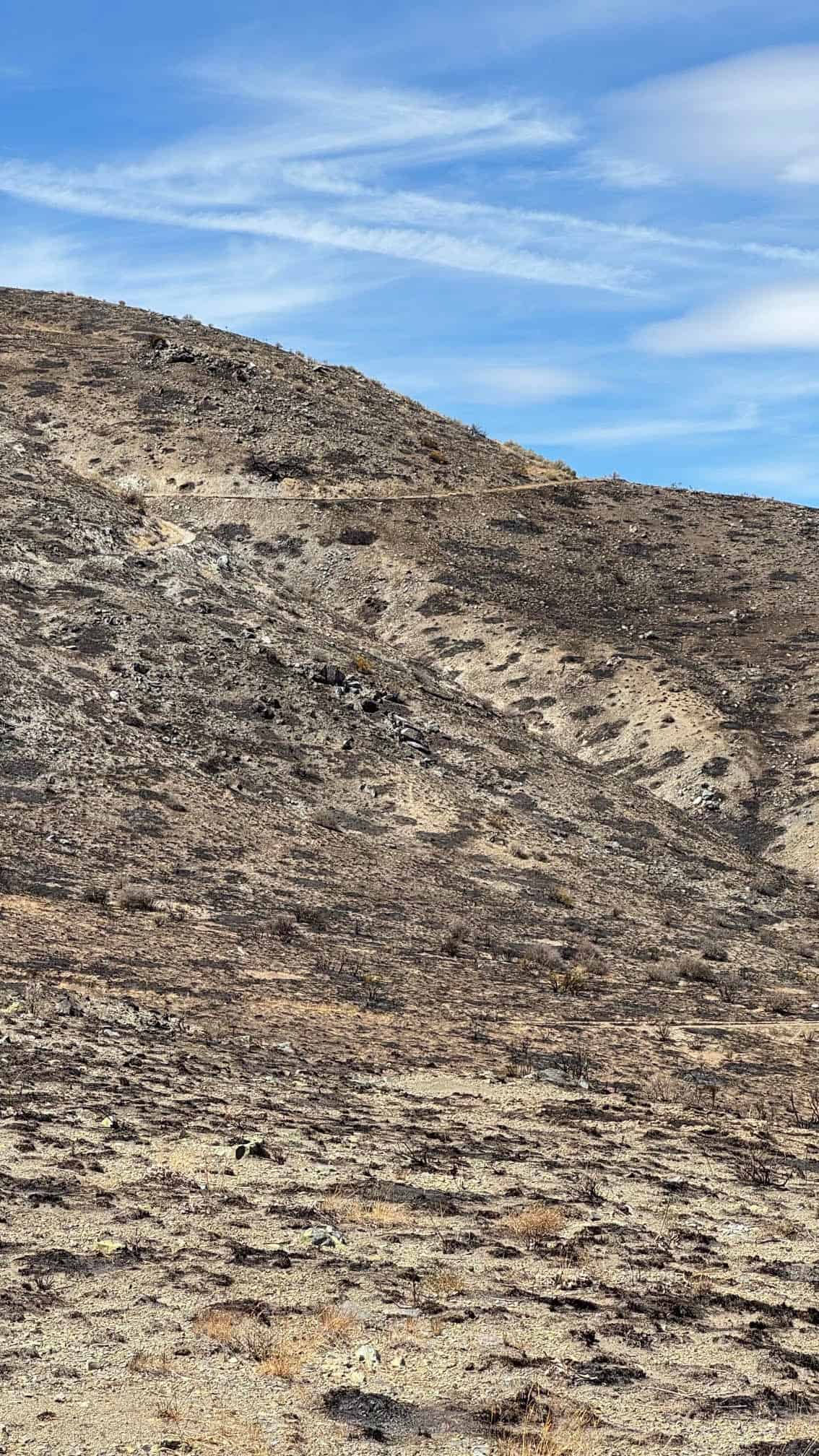
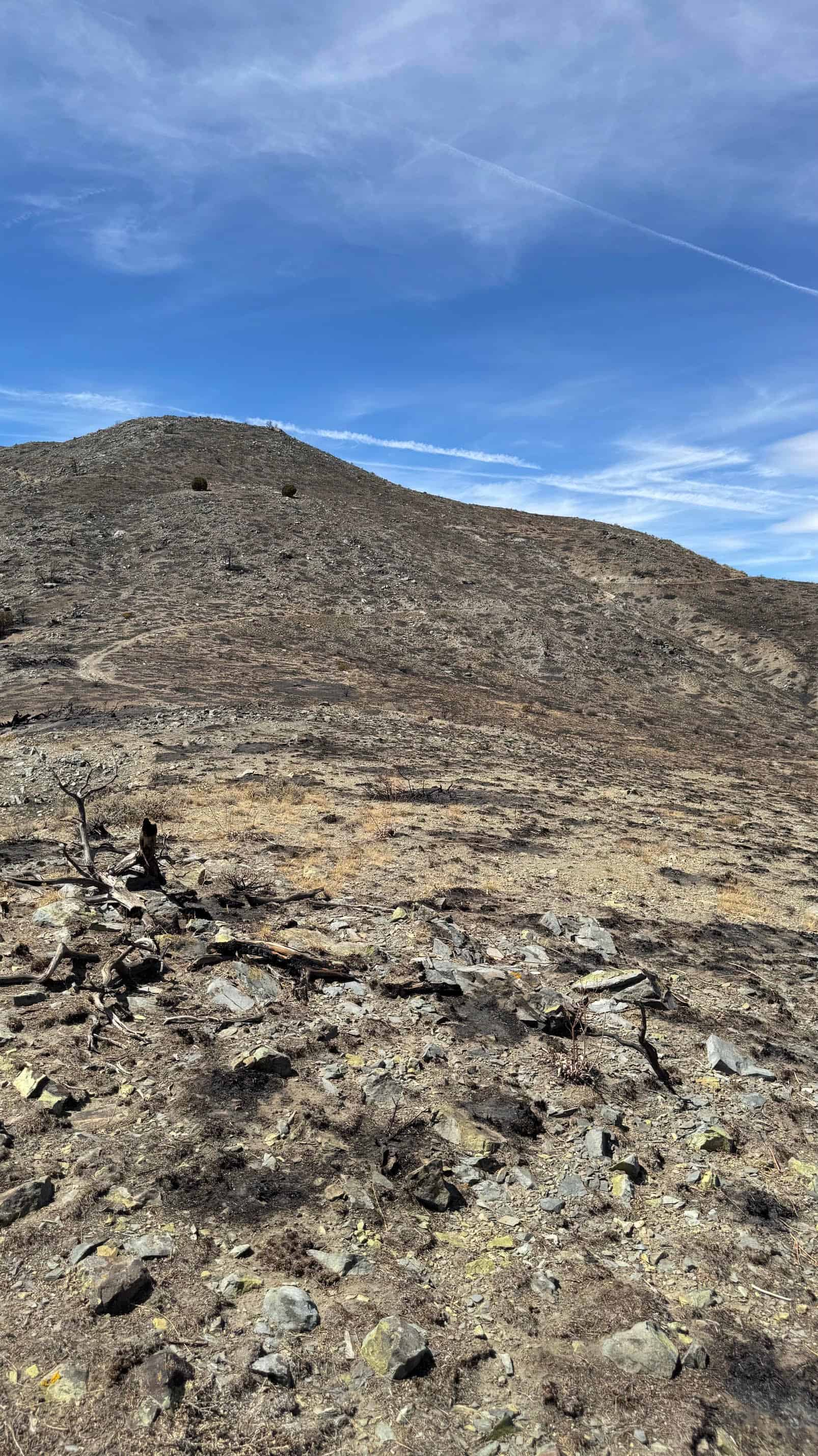
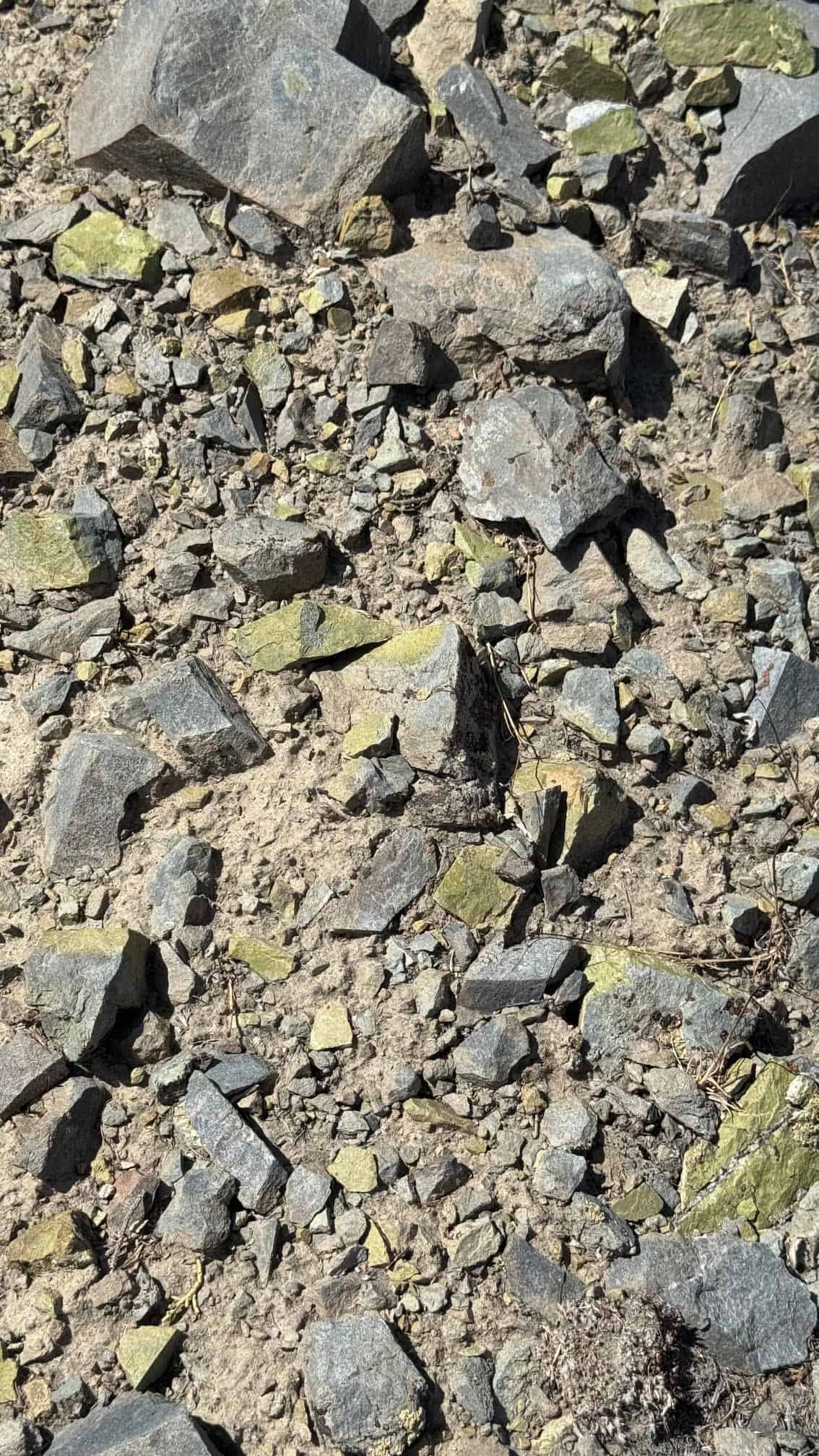
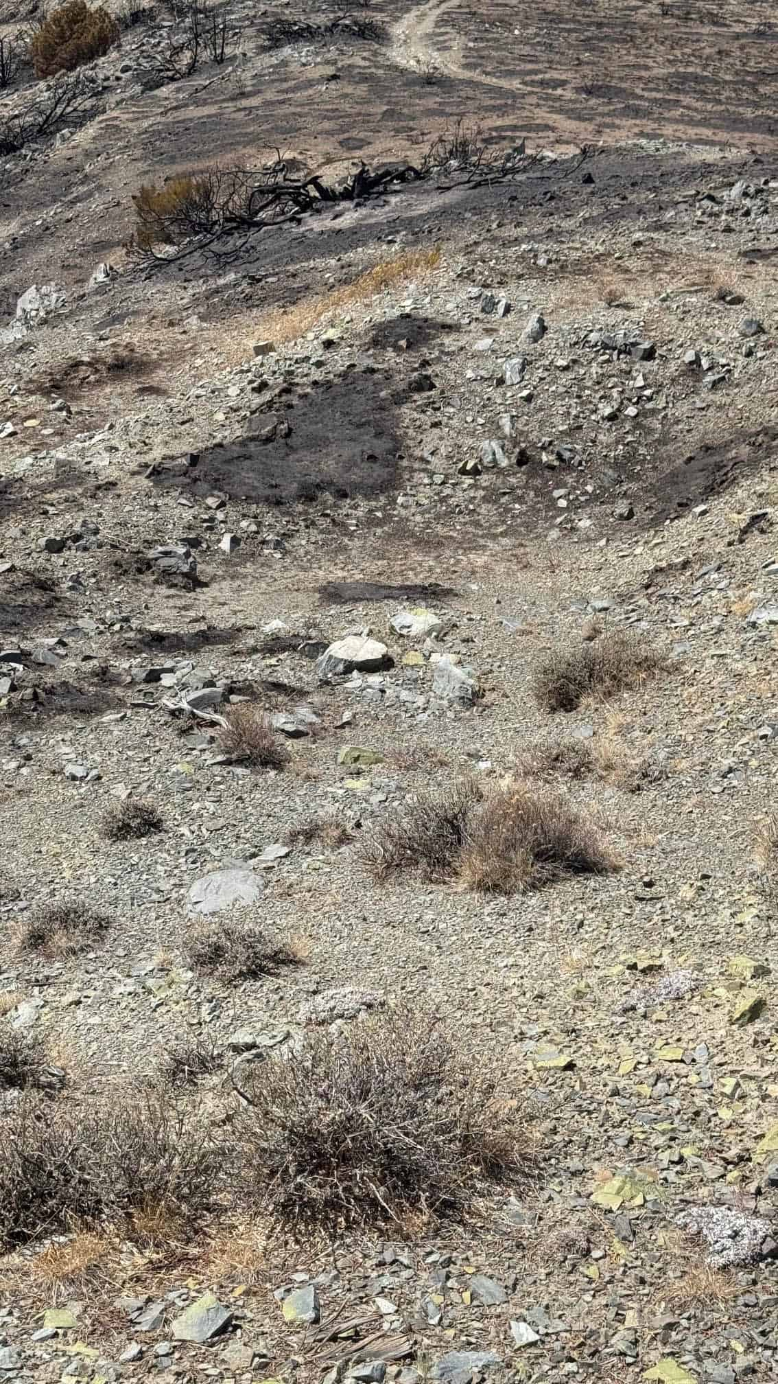
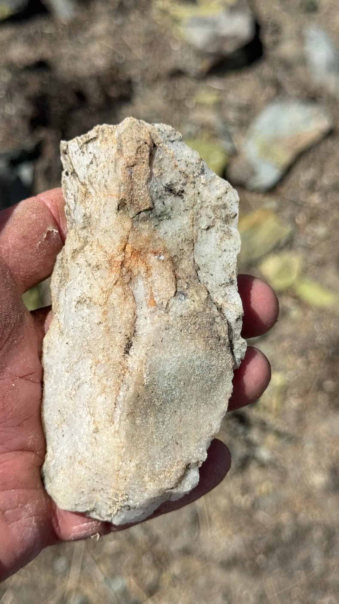
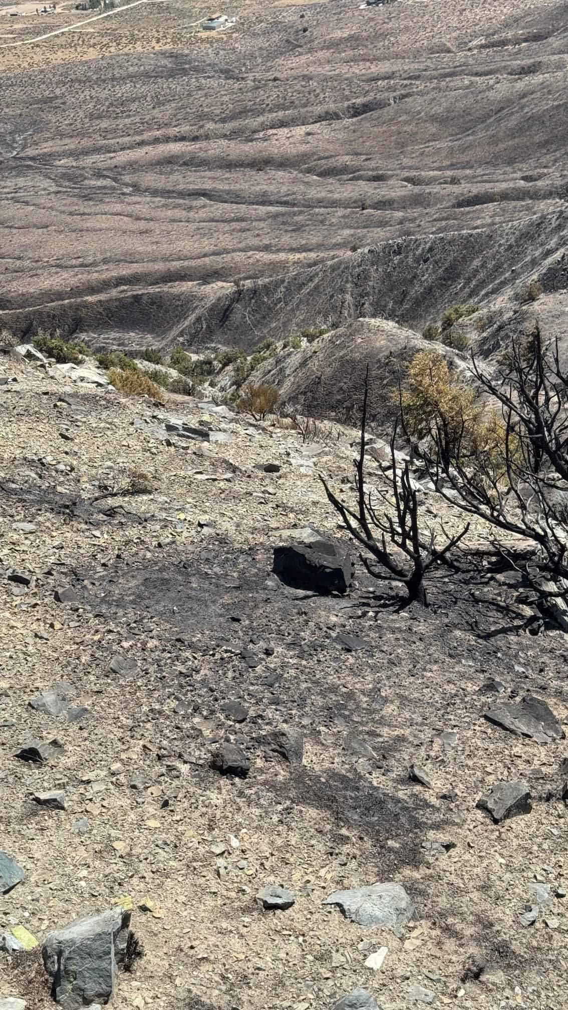
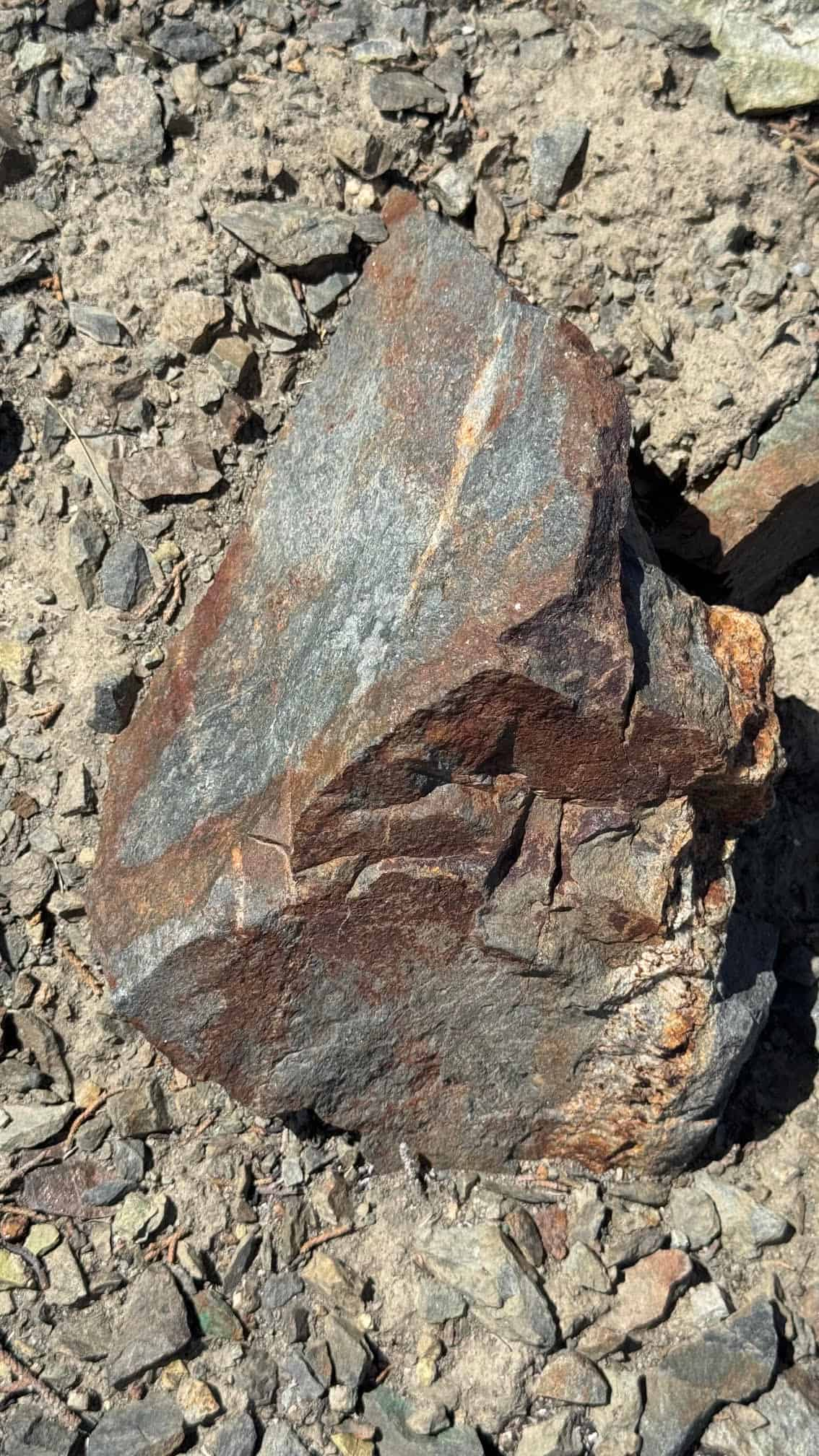
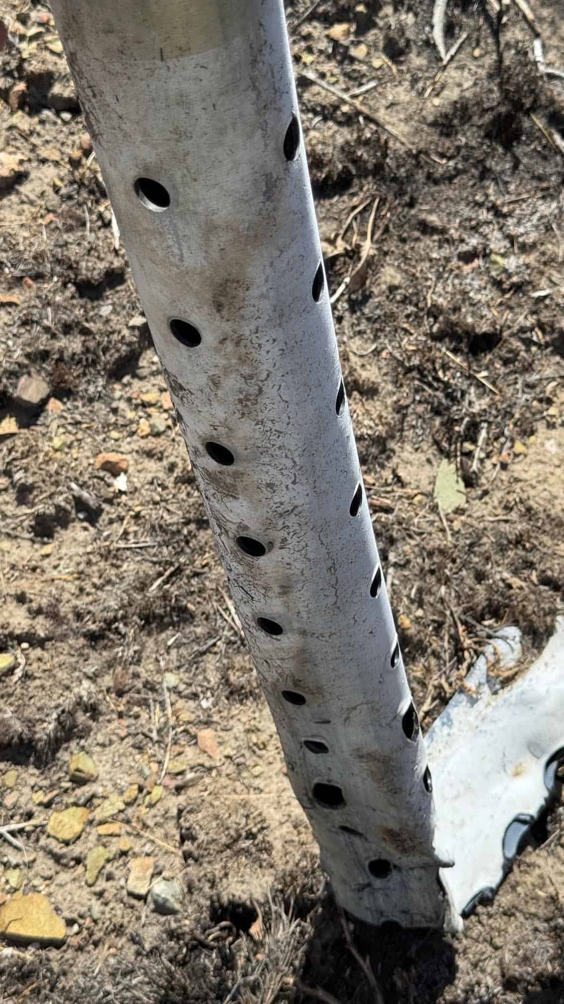
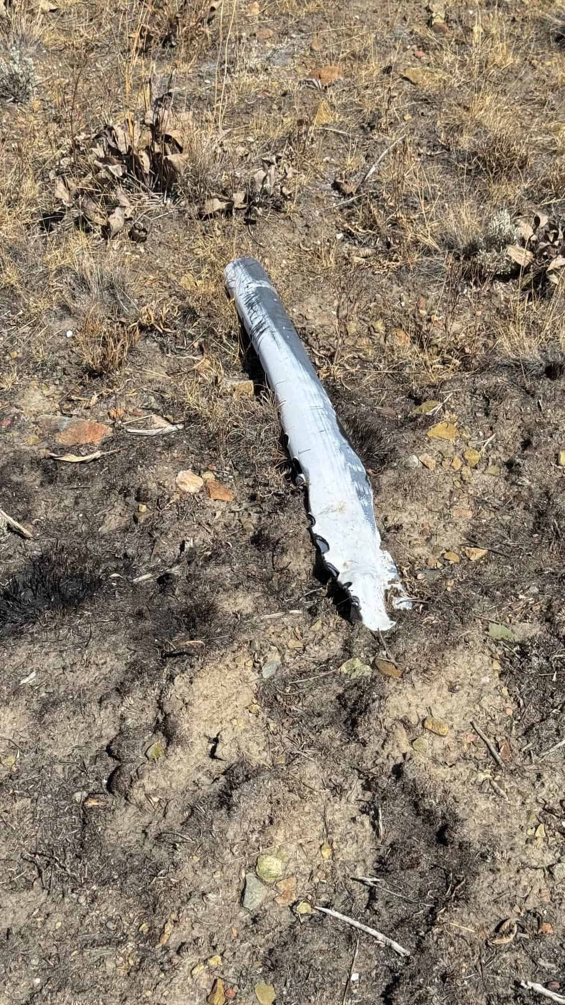
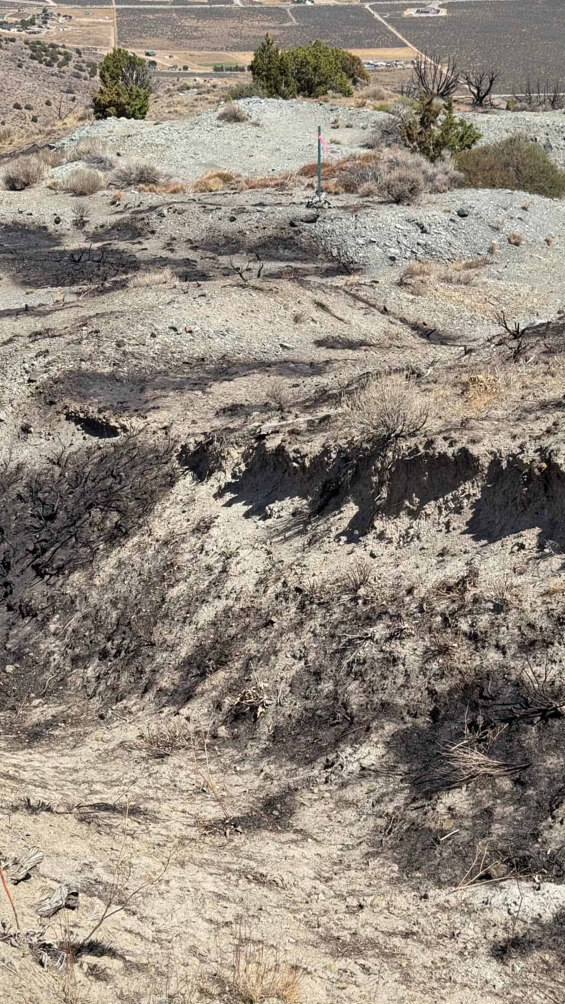
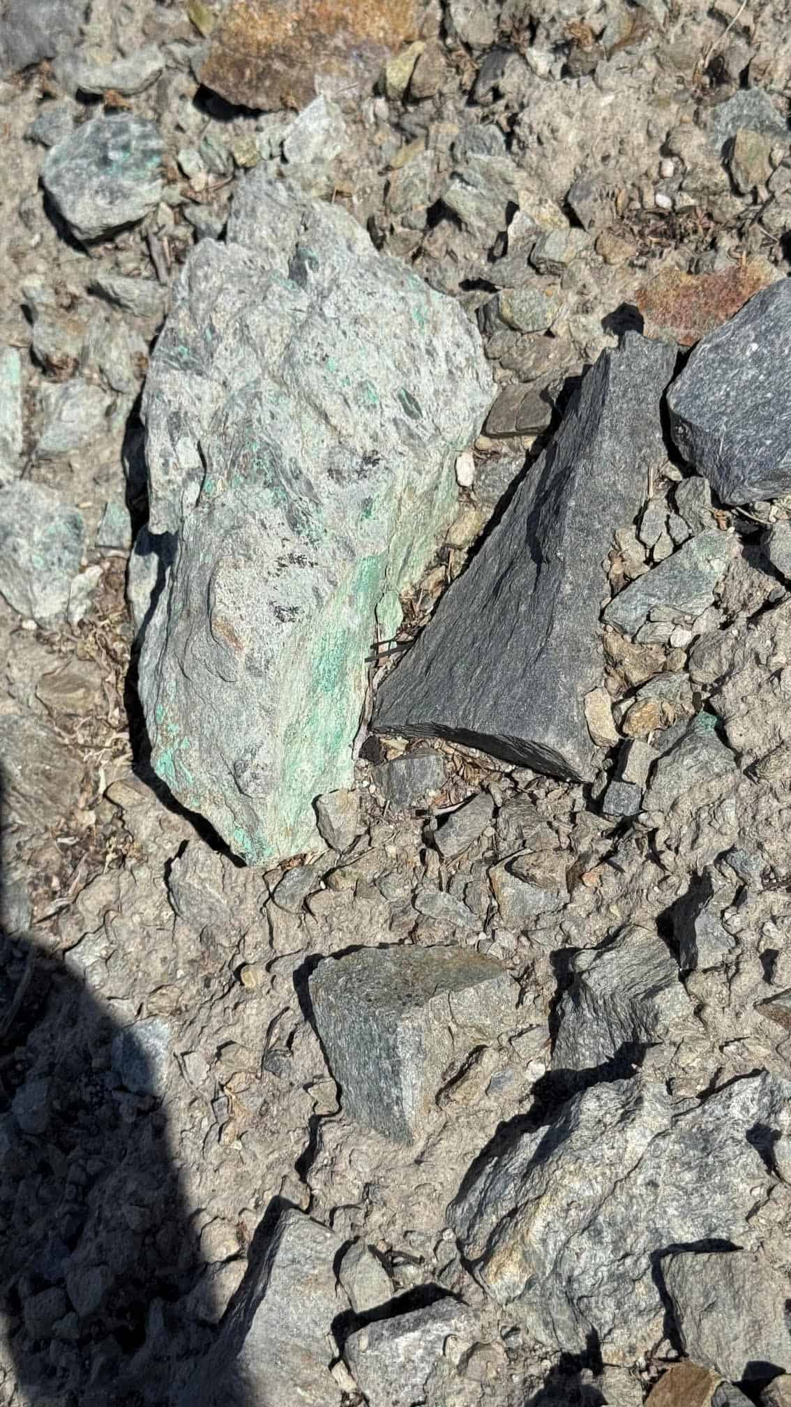
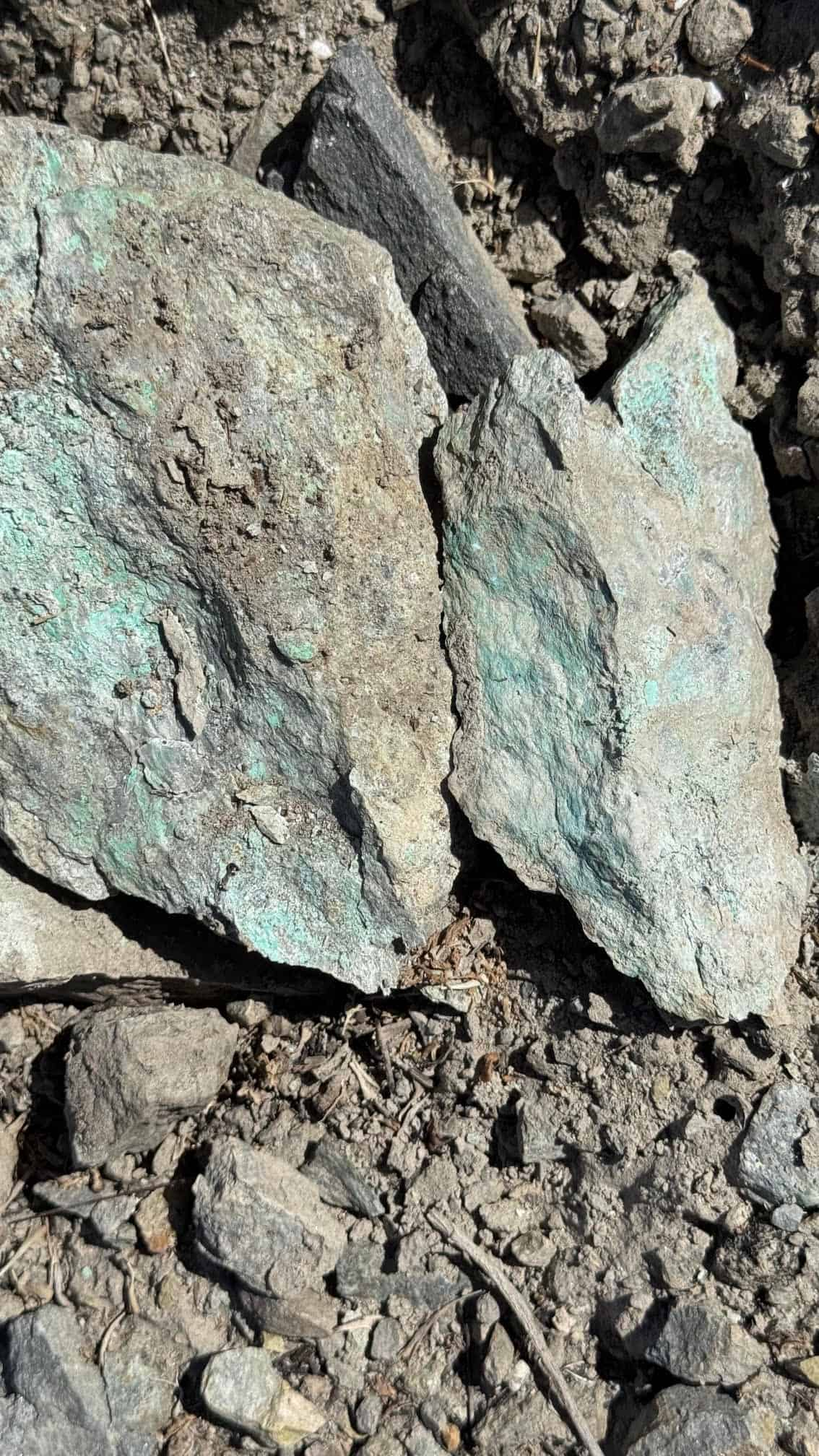
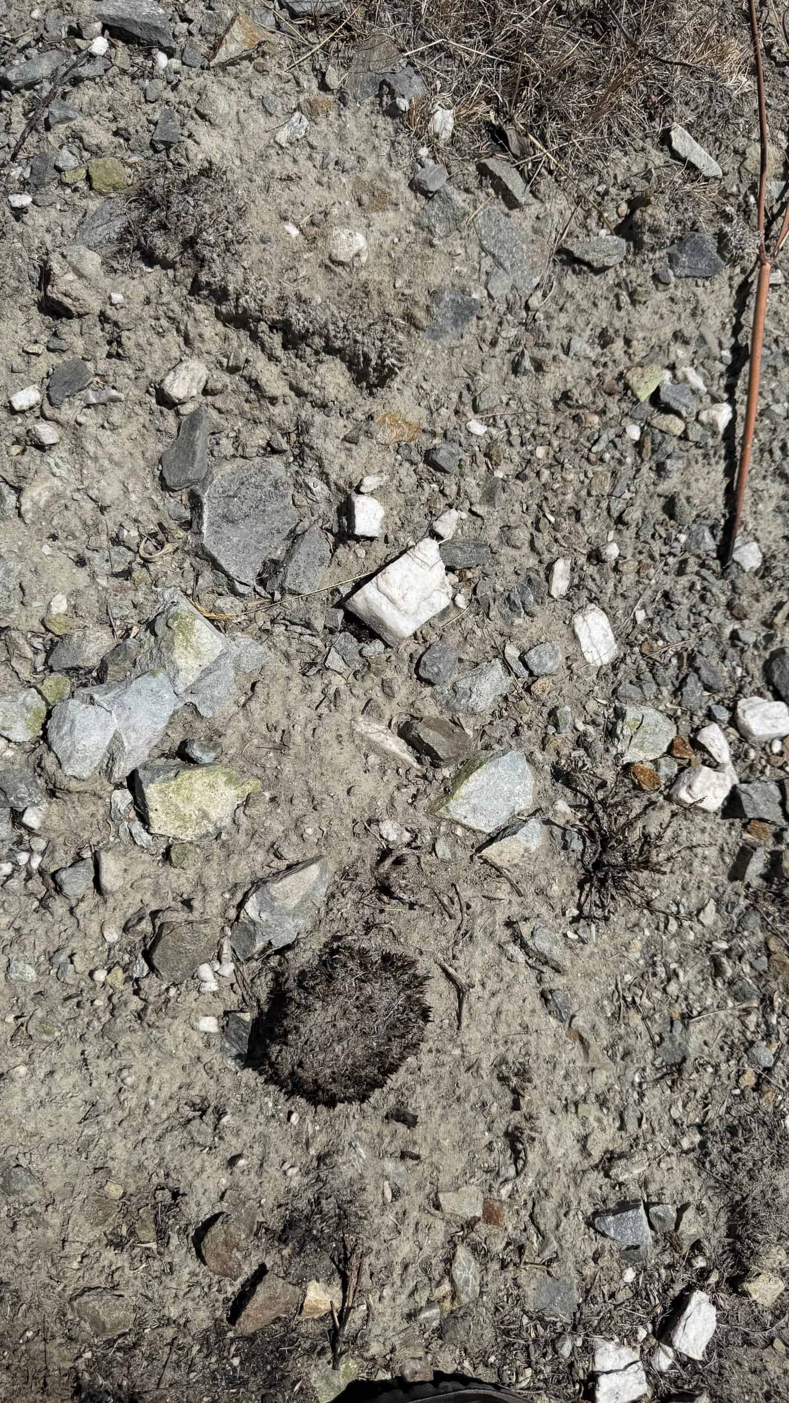
58 site photographs.
Claim boundaries taken directly from the recorded Google Earth KMZ (WGS 84).
| NE | 39.792220°, -119.837233° |
|---|---|
| NW | 39.792220°, -119.841930° |
| SE | 39.790391°, -119.837222° |
| SW | 39.790413°, -119.841940° |
The claim is an east-west unpatented placer block roughly 1,320 feet long by 660 feet wide, staked at its discovery monument on the western end, laid out to take in the ravine below the trenched hillside. Township 22 North, Range 19 East, Mount Diablo Meridian.
| Operation type | Placer |
|---|---|
| Development status | Prospect with historic underground and surface workings |
| Commodity type | Gold, Copper, Silver |
| Development work on record | Trenching, adits, shafts, drill holes, geophysics, geochemistry, geologic mapping (USGS MRDS) |
| District Name | Freds Mountain District, Washoe County |
|---|---|
| Deposit MAS/MILS ID |
Freds Mountain Prospects (Cu, Au) — MRDS #10222582 Conway-Nash Copper Mine (district reference) — MRDS #10272062 Comstock Eureka / Nash Copper — NBMG Sample Site #3414 Comstock-Eureka Gold Prospect & Occurrence (district reference) |
| Type of Structure | Mesozoic meta-andesite block bounded by a north-northeast fault; Cretaceous granodiorite in the surrounding ranges |
|---|---|
| Structure Description |
Igneous > Volcanic > Metavolcanic > Light-gray meta-andesite, locally sheared and brecciated Alteration — sericitic (phyllic) zone up to 20 m wide; pervasive limonite / iron-oxide staining Ore control — NNE-trending fault forming the east boundary of Freds Mountain Ore materials — malachite (oxidized copper), gold Regional analog — Copperfield / Peavine Cretaceous copper-gold system |
A mining claim gives the holder the right to mine on mineral-rich land that belongs to the federal government. Mining claims are a tangible asset and show proof of all interests in minerals in the area. They can be bought, sold or used as collateral, just like any other piece of real estate.
A mining claim can be sold, traded, leased, gifted, willed, used as collateral or transferred in part or in its entirety just like any other real property using a quitclaim deed which is a recordable conveyance. Questions about the transfer process can be answered by contacting us anytime. All fees and paperwork are current; the first annual BLM maintenance payment comes due in 2027.
SOLD
No Longer Available
This claim has been sold. Contact us and we’ll let you know when similar claims come available.
Contact UsThe Eureka Comstock Placer has sold. Browse our active claims or ask about similar ground.
After your purchase is complete you will be requested to fill out our new claim owner form with your name/address or add any additional claimants you want on the claim.
You’ll get digital copies of your COL and Map of Location delivered via email in PDF format, as well as a Google Earth™ KMZ map file with your claim’s discovery point, corners and points of interest.
We handle all the filing and transfer services on your behalf. Expect to get official stamped/recorded copies of your paperwork mailed to you from the Washoe County Recorder’s Office and the Nevada Bureau of Land Management officiating you as the new claimant within 45 days of purchase. Then officially enjoy mining gold on your own land!
The Eureka Comstock Placer is a 20-acre unpatented placer mining claim on the east flank of Freds Mountain in the Freds Mountain District of Washoe County, Nevada, on ground that carries a USGS-recorded tunnel, adjoining adits, and the historic Comstock Eureka and Nash Copper workings.
Primary and secondary commodities on this claim include:
The workings follow green malachite copper stain and rusty iron-oxide alteration through a sericitized shear zone on the fault that bounds the mountain — the weathered top of a hydrothermal system of the same Cretaceous copper-gold family worked at Copperfield and Peavine down the range.
The Eureka Comstock Placer lies on the east flank of Freds Mountain, a fault-bounded block of Mesozoic metavolcanic rock standing above Bedell Flat, in a corner of Washoe County ringed by Cretaceous granitic intrusions. The claim area is characterized by:
The ground suits a weekend prospector with a metal detector, a pick and a drywasher just as well as a small operator planning a proper sampling program — the old workings tell you where the metal came from, and the ravine tells you where it went.
Freds Mountain is one of the quiet districts of northern Washoe County — a copper and copper-gold camp first opened during the early-1900s copper excitement that lit up Peavine, Copperfield, Pyramid and the Winnemucca Valley, when prospectors combed every iron-stained hill within a day’s ride of Reno. The district was inventoried by the Nevada Bureau of Mines and Geology in its 1969 county bulletin and again in its 1990 mineral resource inventory for the BLM Carson City District.
Sixty-four mining claims have been recorded here over the years, in waves that followed each new commodity boom — copper, then uranium, then gold. Today the district sits open and quiet, its adits and trenches marked on the USGS maps, twenty minutes from the fastest-growing city in Nevada.
The Eureka Comstock Placer sits squarely on that historic ground, at the foot of the workings, waiting for the next prospector to pick up where the last three generations left off.
Satellite view of the claim area. Click the pin for a quick summary.
Boundaries show the Eureka Comstock Placer taking in the ravine below the trenched hillside, with the USGS-mapped tunnel inside the claim and the adit-and-tunnel cluster on the ridge to the east toward Alum Rock Road.
Explore other active lode and placer claims.
Every claim currently for sale, sorted by price. Tap a name to open the full listing.
| Claim | Price | Commodity | County / State | Acreage |
|---|---|---|---|---|
| The Virginia Lynn | $1,000,000 | Silver, Gold, Copper +4 | Dolores County, Colorado | 87.64 |
| The Sedona Legend & Sunrise Claims | $71,980 | Gold | Yavapai County, Arizona | 80 |
| Mountain View Tungsten Project | $65,000 | Tungsten, Copper | Lyon County, Nevada | ~140 |
| Ophy I-V Claims | $41,250 | Gold, Silver, Copper | Boise County, Idaho | 79.35 |
| Sunny Side Up #1-2 | $21,500 | Gold, Silver | Southeast Fairbanks, Alaska | 80 |
| Boulder #2 & #3 | $15,000 | Gold, Silver | Boise County, Idaho | 41.32 |
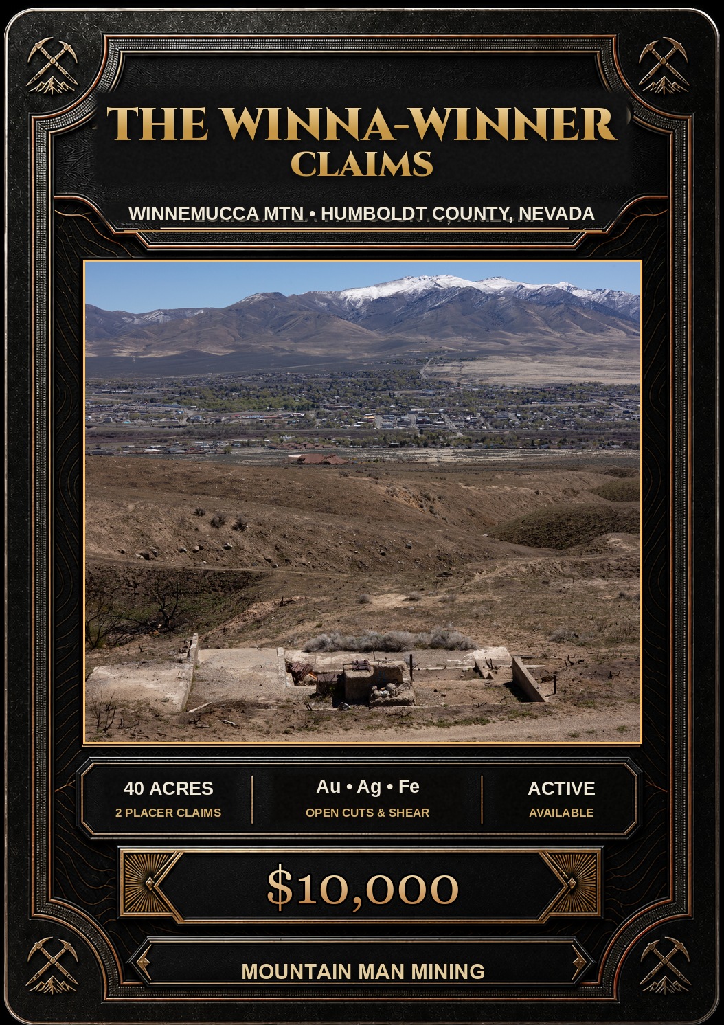
| The Winna-Winner Claims | $10,000 | Gold, Silver, Iron +2 | Humboldt County, Nevada | 40 |
| Belcher Canyon | $9,997 | Gold | Nye County, Nevada | 20 |
| The Golden Trinity Claim | $8,000 | Gold, Platinum, Silver | Trinity County, California | 20 |
| Marigold #1 | $7,500 | Gold, Silver | Yavapai County, Arizona | 20 |
| Ayers Claim | $6,500 | Gold, Silver | Sierra County, California | 20 |
Prices and availability change as claims sell. Ask about any of these or see what has already sold.